Oban is deceiving. When you look on a map, it seems to be a large town and important port, and the most important hub of the Western Highlands. It definitely makes for the best base to explore the mountains and other places discussed later in this post. The only downside to this is it gets really busy in summer. But while it certainly is the largest town in the region, with a population of only 8,500, calling it ‘large’ is pushing it – this makes it three times smaller than my hometown, a place which is in no way significant. But, to re-use the title of a TV programme that sums up the entire British attitude to housing, it’s location location location that makes the town a significant draw.
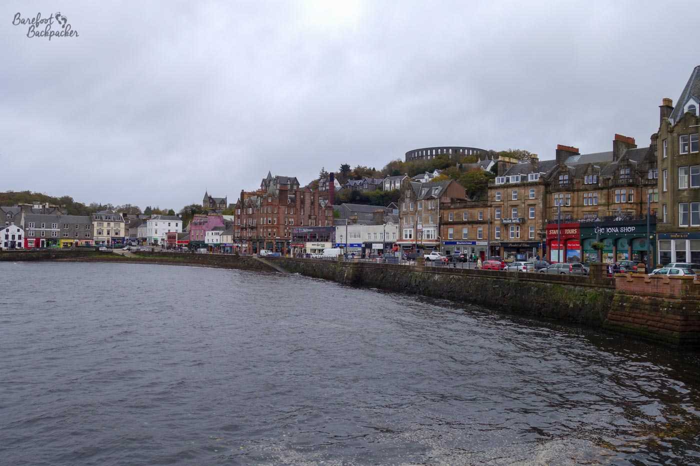
The waterfront at Oban
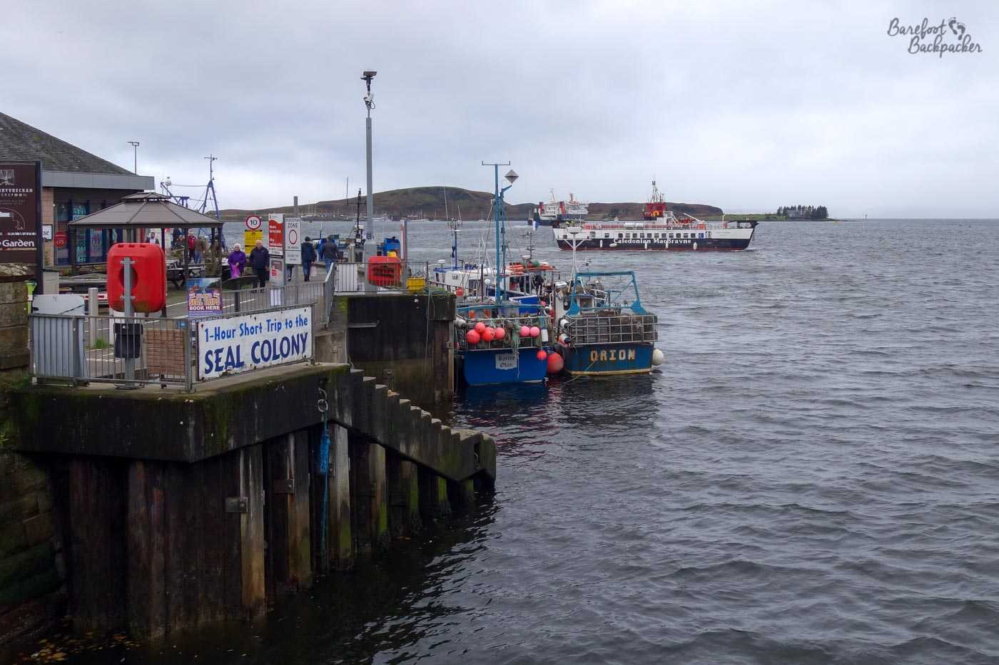
Its name comes from Gaelic, and means ‘Little Bay’, as it lies on a curving bayside. Gaelic is still spoken in this area, albeit not by many people, and most of the road signs West of Loch Lomond are in both languages. It’s also one of the two major mainland ports (the other being Mallaig, much further North) for ferries over to the Outer Hebrides, the only part of Scotland where Gaelic still has a significant hold. Large car/passenger ferries can be taken from here to Castlebay on Barra – a five hour ride that passes by Ardnamurchan Point, the westernmost spot on the Great British mainland.
Aside from Barra, Oban is an important transport/connection hub for much of the rest of the region. Other ferries can be caught from here to many of the Inner Hebridean islands, including Mull, Colonsay, and Islay. It’s at the end of a long railway line from Glasgow, and the two major roads in the region meet here.
The waterfront at Oban
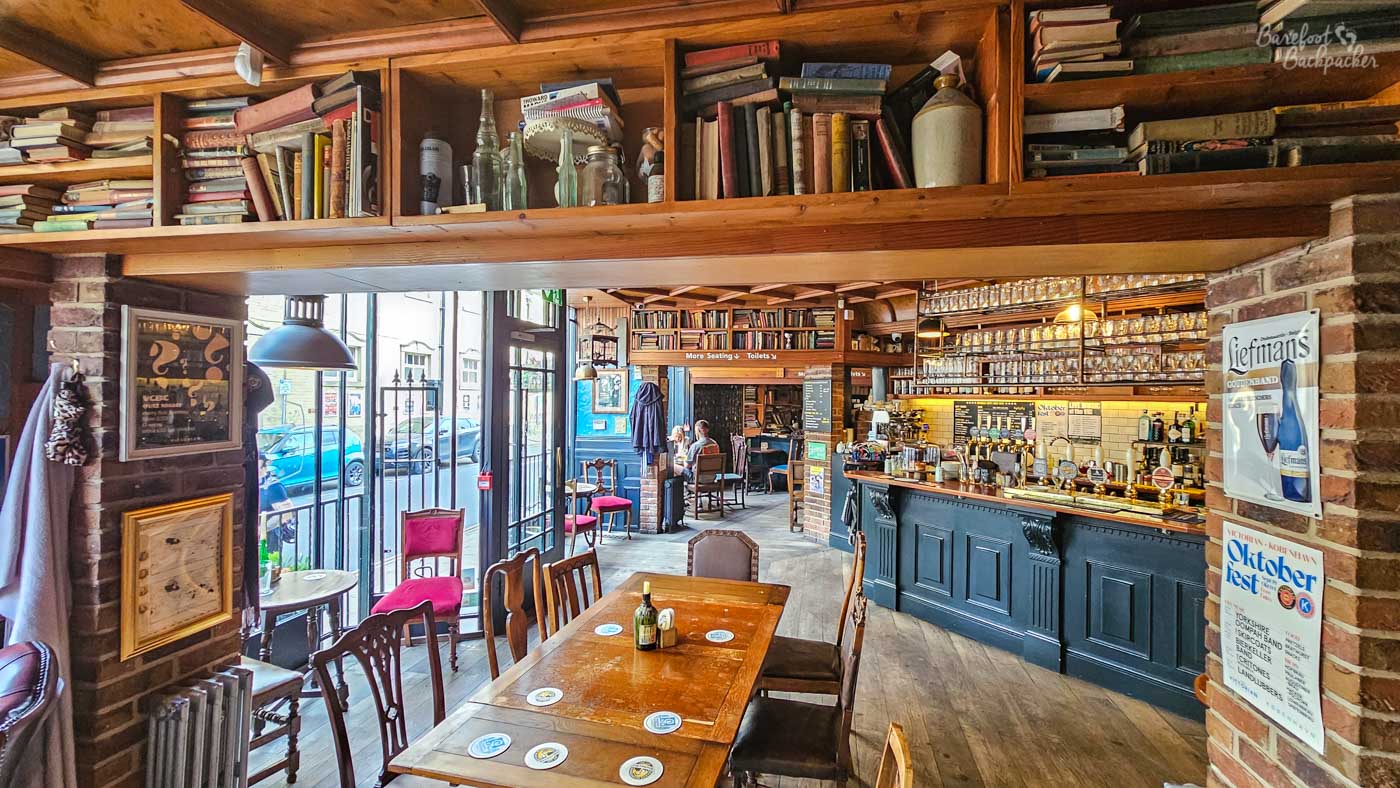
For its size, there’s a relative glut of B&Bs and hotels to choose to stay in – mostly fairly identikit converted townhouses but perfectly comfortable and worth exploring. Dunollie Road in particular is full of them, and of course if you’re on the right side of the building you could even be lucky to get a view out to sea. Disclaimer: on my most recent visit to Oban, I did not have that joy.
With regards to eating, I’m in no way a traveller who yearns for haute cuisine, but as befits a Scottish port, seafood is widely available here. In particular, a stall close to the entrance to the ferry terminal serves up a good variety of daily catch, including pots of prawns and seafood sandwiches, all nicely fresh and just what you need before catching a five-hour ferry to Barra.
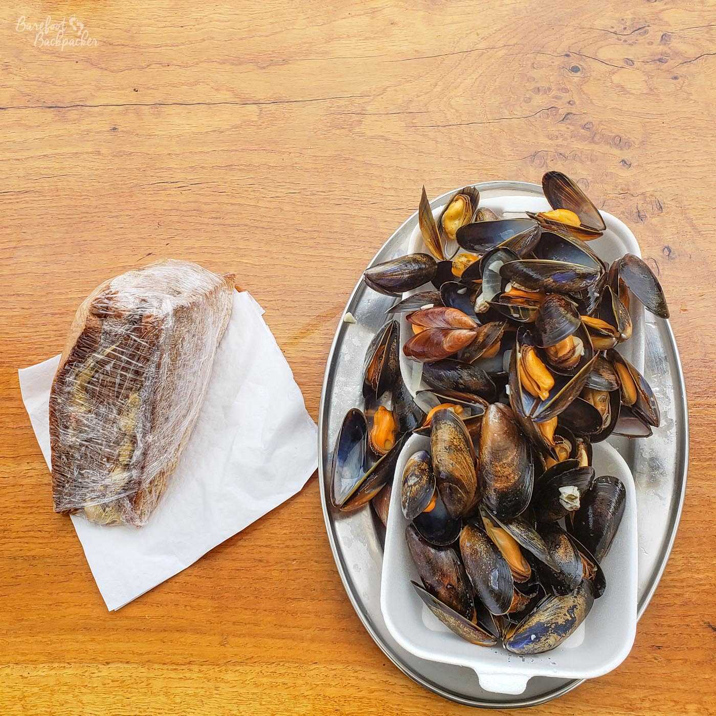
Mussels in a bowl, and a wrapped selection of prawn sandwiches.
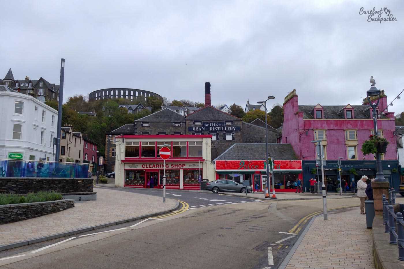
Its main raison d’etre however is whisky. The Oban Distillery was founded in 1794 and the town just grew from there; the distillery still exists in the town centre and is open for tours and visits, whilst along the high street there are a number of spirit shops selling all manner of whiskies at prices from ‘I’ve never tried that so be gentle’ all the way up to ‘I don’t think I’ll open that; call it an investment’. Indeed, whisky seems more popular than seafood here – though of course it’s perfectly acceptable to have both.
Mussels in a bowl, and a wrapped selection of prawn sandwiches.
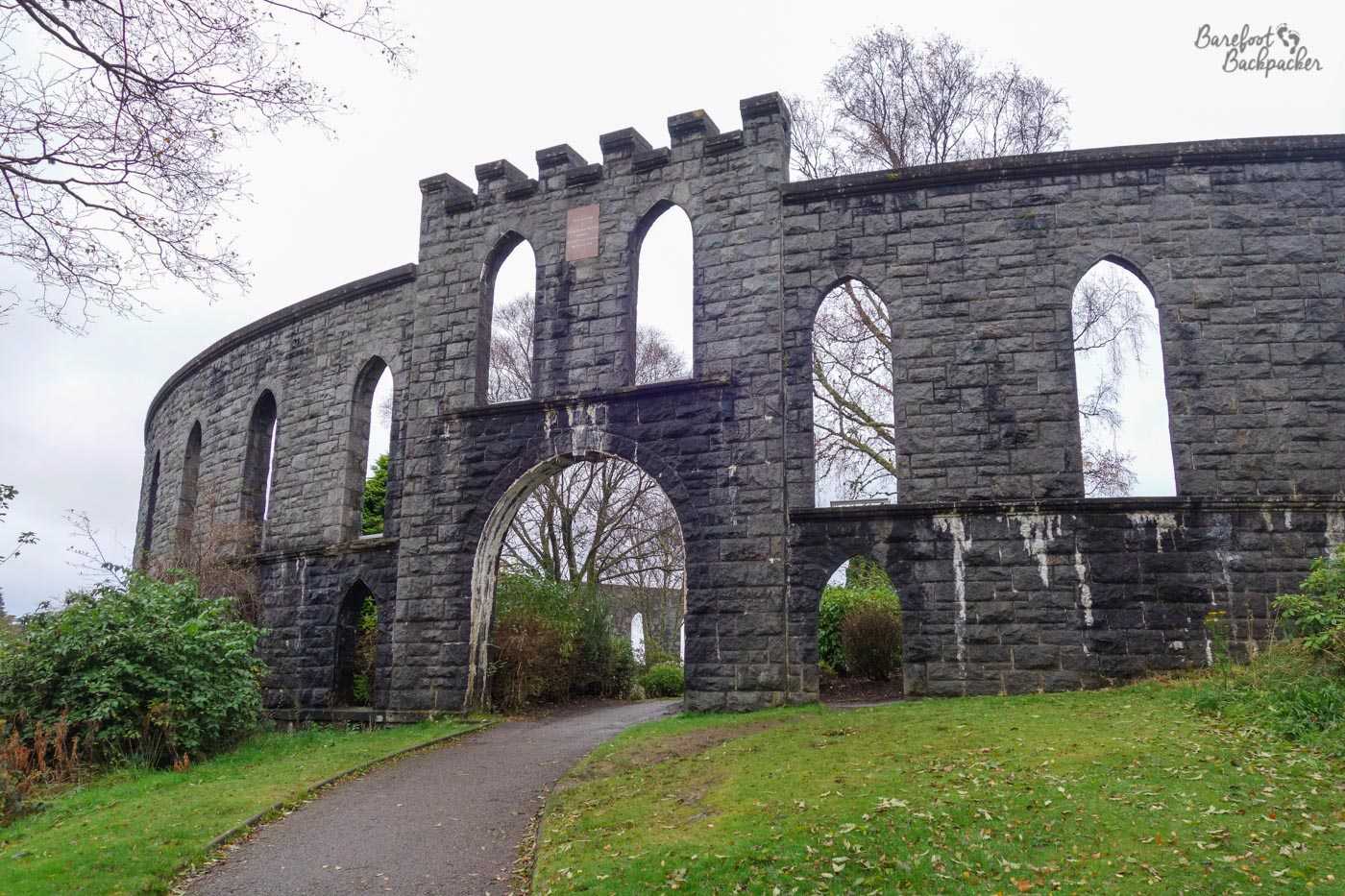
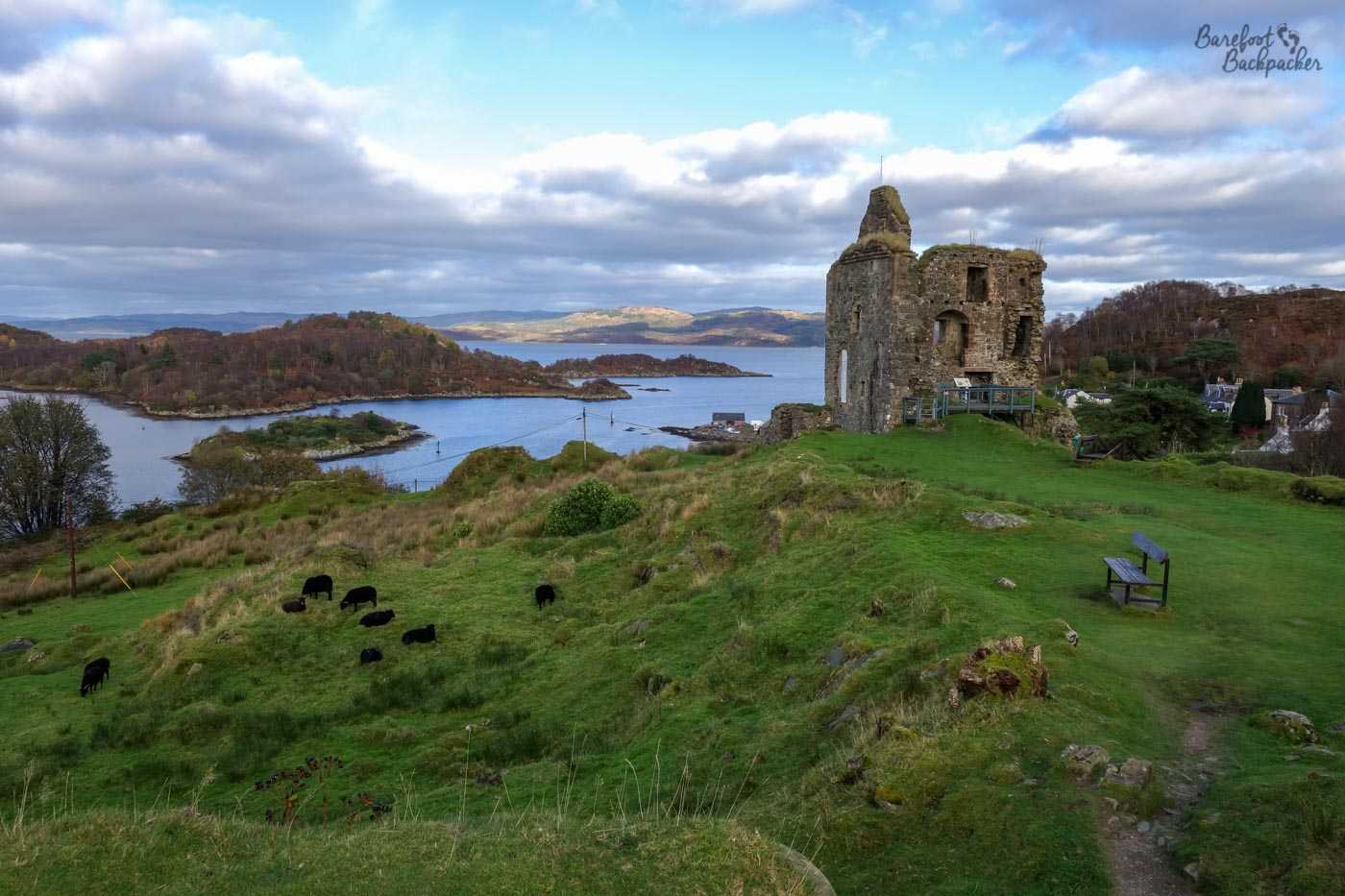
One of the most notable sights is the weird circular stone ‘tower’ (it’s more of a ‘circus’, like the Colosseum) on top of a hill overlooking the town – a ‘folly’ called McCaig’s Tower that seems to have been built to provide work for local stonemasons but McGill himself never revealed its purpose & died before it was finished.
Close-up of the entrance of McCaig’s Tower. It’s clearly not a tower.
Other ruins, much older, are scattered around Oban. Just like the Hebrides, this area has been inhabited for millennia. A couple of examples lie just off the road on the way to the Kintyre Peninsula.
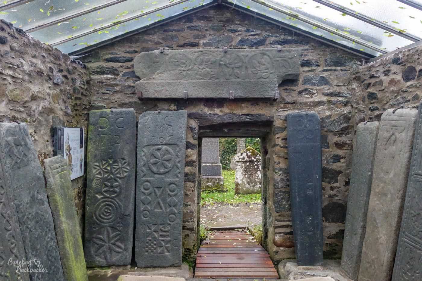
Some of the Kilmartin Stones
In the village of Kilmartin is a church with around 80 mediaeval gravestones decorated with warrior symbols. These ‘Kilmartin Stones’, as they’ve been called, date from the middle ages, and their provenance is uncertain – they’re not engraved with any words, just decorative motifs. Nearby are a couple of small ruined castles – pretty much the whole gamut of historical buildings in a couple of square km.
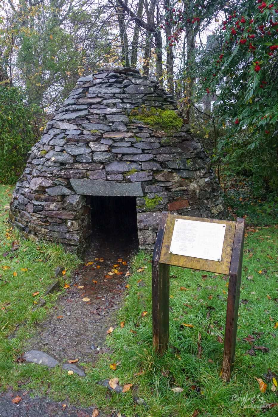
An example of a stone cairn
The wider area is also home to a large number of iron-age and older sites, including cairns and standing stones – indeed Kilmartin Church itself is just the most recent incarnation of religious celebration on this site. One such lies a little further south, and are known as the Nether Largie Standing Stones. This particular complex dates from around 2500 BC, and stand near to another ancient stone circle. Like many similar places across the UK, no-one’s quite sure why they were erected – whether to identify a meeting place or maybe they acted as a form of calendar – but these are also close to a number of burial sites.
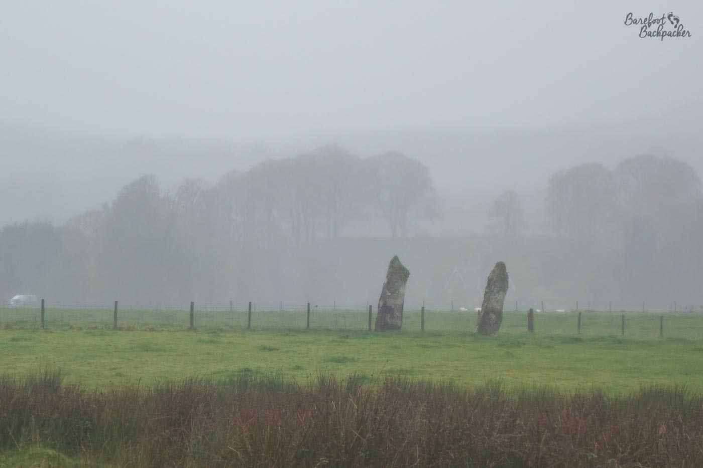
Nether Largie Standing Stones. There are more than two of them but I was stood at a distance and the others had people milling around them.
By the way, the reason for the misty picture taken at distance is because the weather was very damp and the pathway to the stones was deeply flooded – other people braved the walk but I was both welly-less and towel-less. Remember, always know where your towel is.
This has always been my confusion – given the proliferation of ancient sites around the edges of Scotland, either the weather was drier and warmer in ancient days, or the ancient Celtic peoples were somewhat bloody-minded and masochistic; there are easier places to live than here, the Outer Hebrides, or the Orkney Islands.
A couple of miles further on is the Knapdale Beaver Trail, by Loch Barnluasgan. In the mid 2010s, there was a managed trial to reintroduce beavers to this part of Scotland, which seems to have been deemed a success. Although the trial ended in 2016, the legacy is a beautiful walk through the forests and by the loch, where it’s possible (albeit unlikely) to see the beavers, along with other endangered creatures like red squirrels and otters, similar to that near where I grew up on Merseyside.
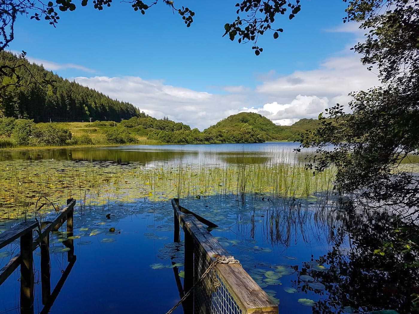
View of the loch at the Knapdale Beaver Trail. Image taken by my friend Elly.
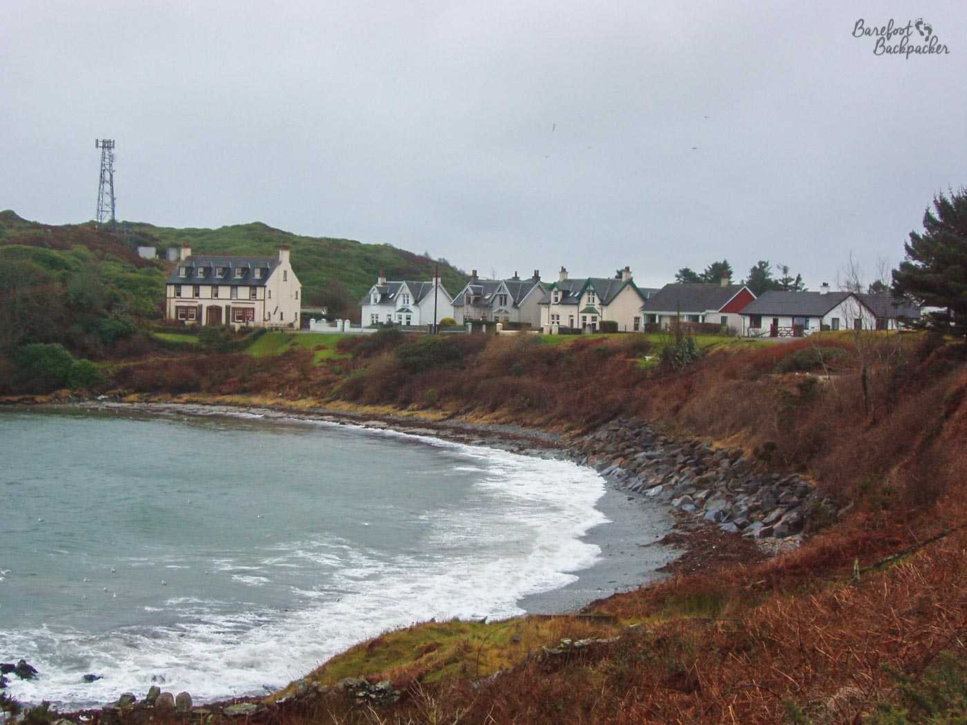
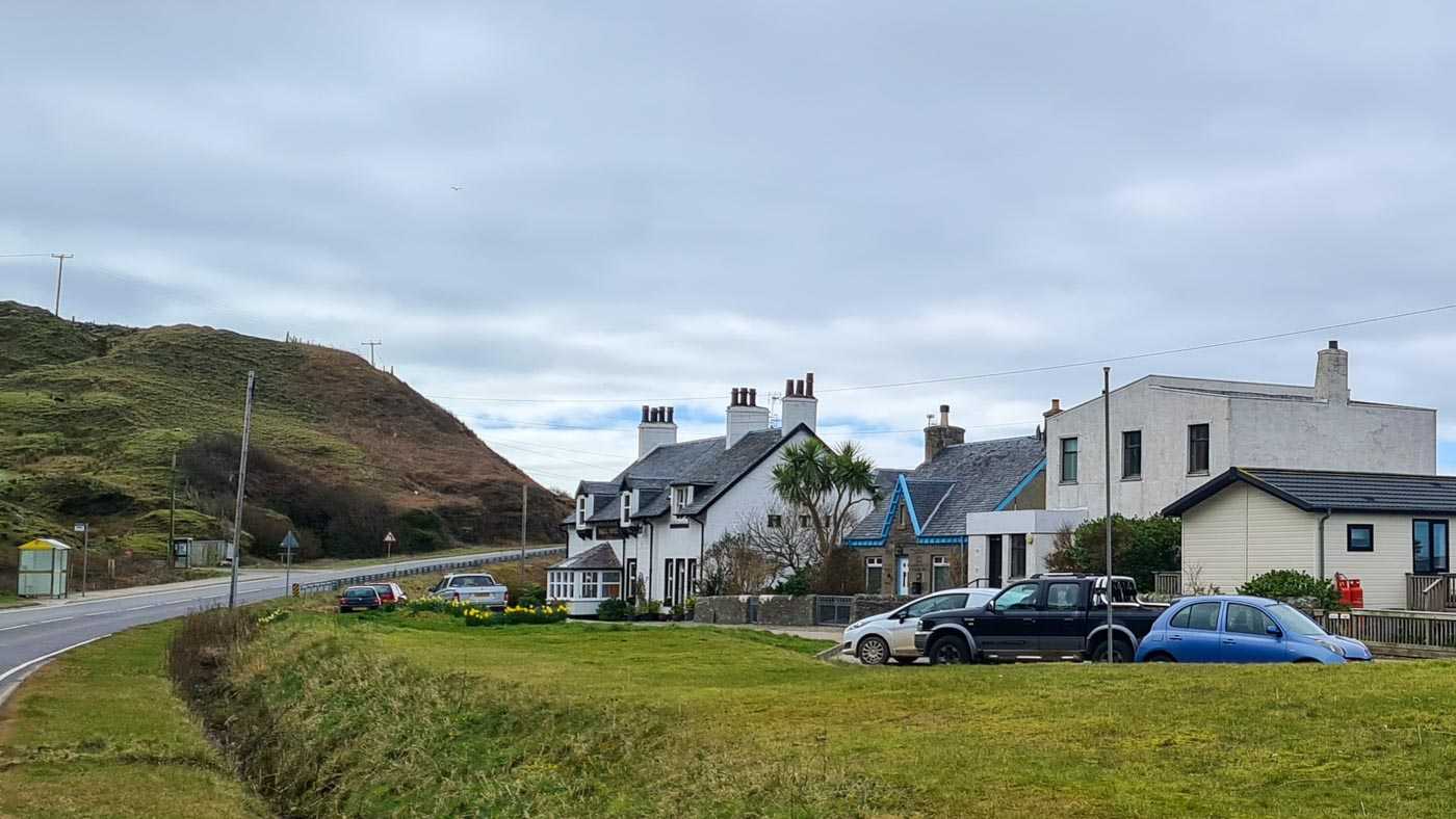
Further south still is the village of Tarbert, This is one of Scotland’s most natural harbours, lying on a narrow isthmus between two lochs, and it acts as a kind of ‘gateway’ to the Mull of Kintyre (please, no music). It’s a long journey to get here from the rest of Scotland – the shortest route to Glasgow passes by a spot called ‘Rest and be Thankful’ some 50 miles northeast. This is so named because it lies at the top of a long and steep climb, and is itself quite remote; in bad weather, after one of the regular landslides, or following an accident, the diversion to avoid it adds on a further 25 miles to the journey. I imagine in the height of winter it’s a harsh place to live, but it has a certain calm charm typical of Scottish seaside villages – everyone seems to know each other & the place oozes a certain friendliness.
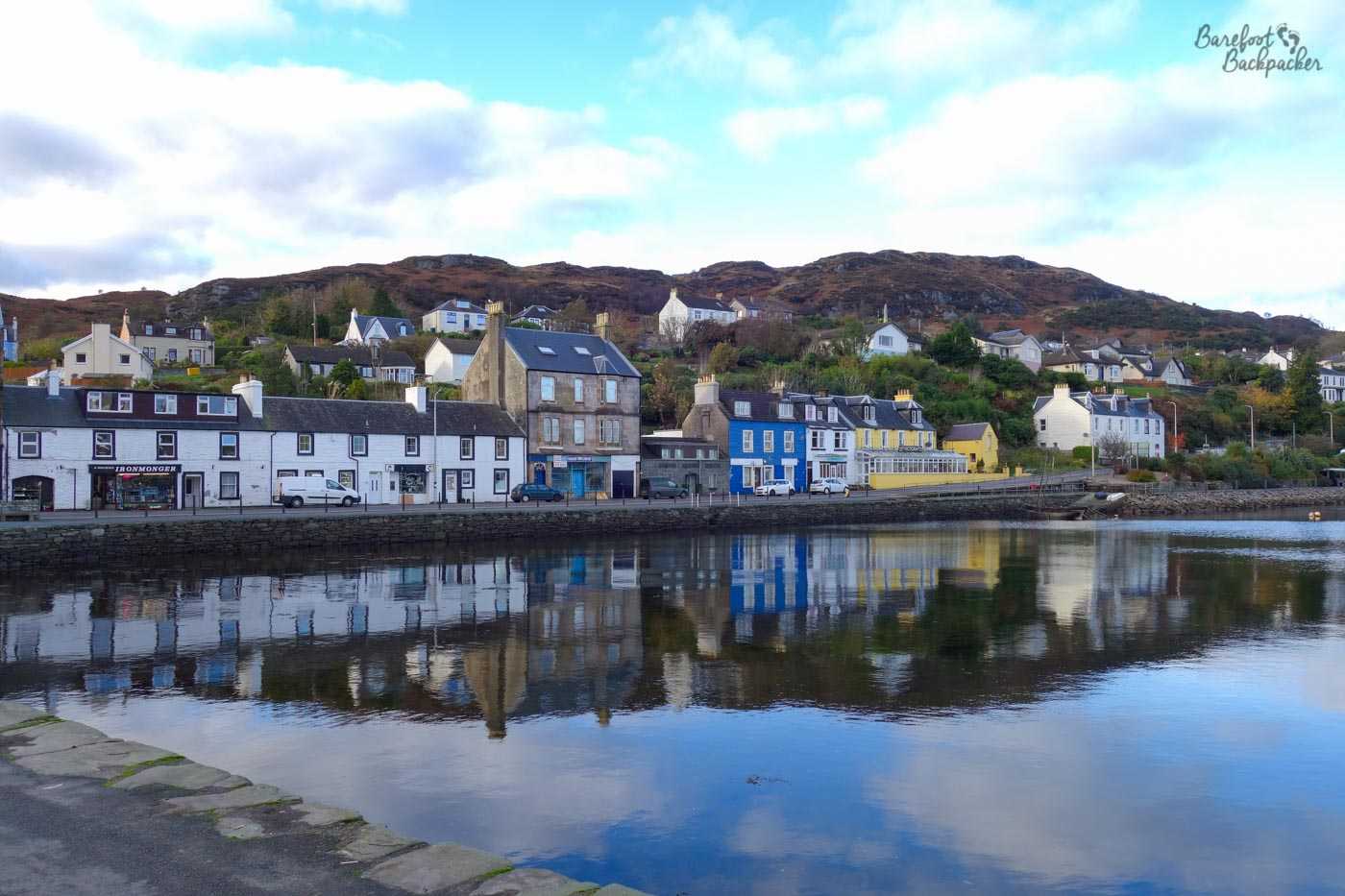
Tarbert harbour-front, complete with pretty coloured buildings.
The site has long been considered important – there’s records of a fortification here as long ago as the early 700s, while in the late 1000s, the Viking King Magnus Barefoot (no relation. His name, also transcribed ‘Barelegs’, may be reflective of his habit of not wearing long trousers into battle) ‘carried’ his longship across the narrow land bridge as a means to loophole the Scots King (who’d said he could claim for Norway any territory he could sail around) into accepting him as King of the ‘Southern Hebrides’. Indeed the town’s name comes from this common practice, from Gaelic ‘Tairbeart’, lit. meaning ‘carrying across’. By the way, due to the landscape of Scotland, there are somewhere between 15 and 20 other ‘Tarbets’ or ‘Tarberts’ in the country.
In the early 1300s, another notable King (Robert the Bruce, no less), granted this Tarbert a royal charter, which ensured the town really took off. He was also responsible for turning the fort into a proper stone castle, which stood until the mid 1700s when it fell into disrepair, the locals nicking their stone for their own purposes.
Tarbert Castle. Look at the view it commands!
Naturally enough, Tarbert’s main industry has been fishing. To the East lies Loch Fyne, long noted in the rest of the UK for its seafood (especially herring, mussels, scallops, & huge langoustines). Indeed, in 1900, 88 4-crew boats (skiffs) were registered here – a huge number for such a small harbour town. Each of these skiffs were around 9m long, so you can imagine the harbour was more boat than water at times. But there were a lot of fish to catch; it’s believed the record haul in one day was set in the 1930s, when nearly 900 tonnes (20,000 boxes) of herring were caught in the nearby inlet of Loch Gair. These days, although much smaller, the local fishing industry is still amongst the healthiest in the UK, and Loch Fyne has become a byword for quality.
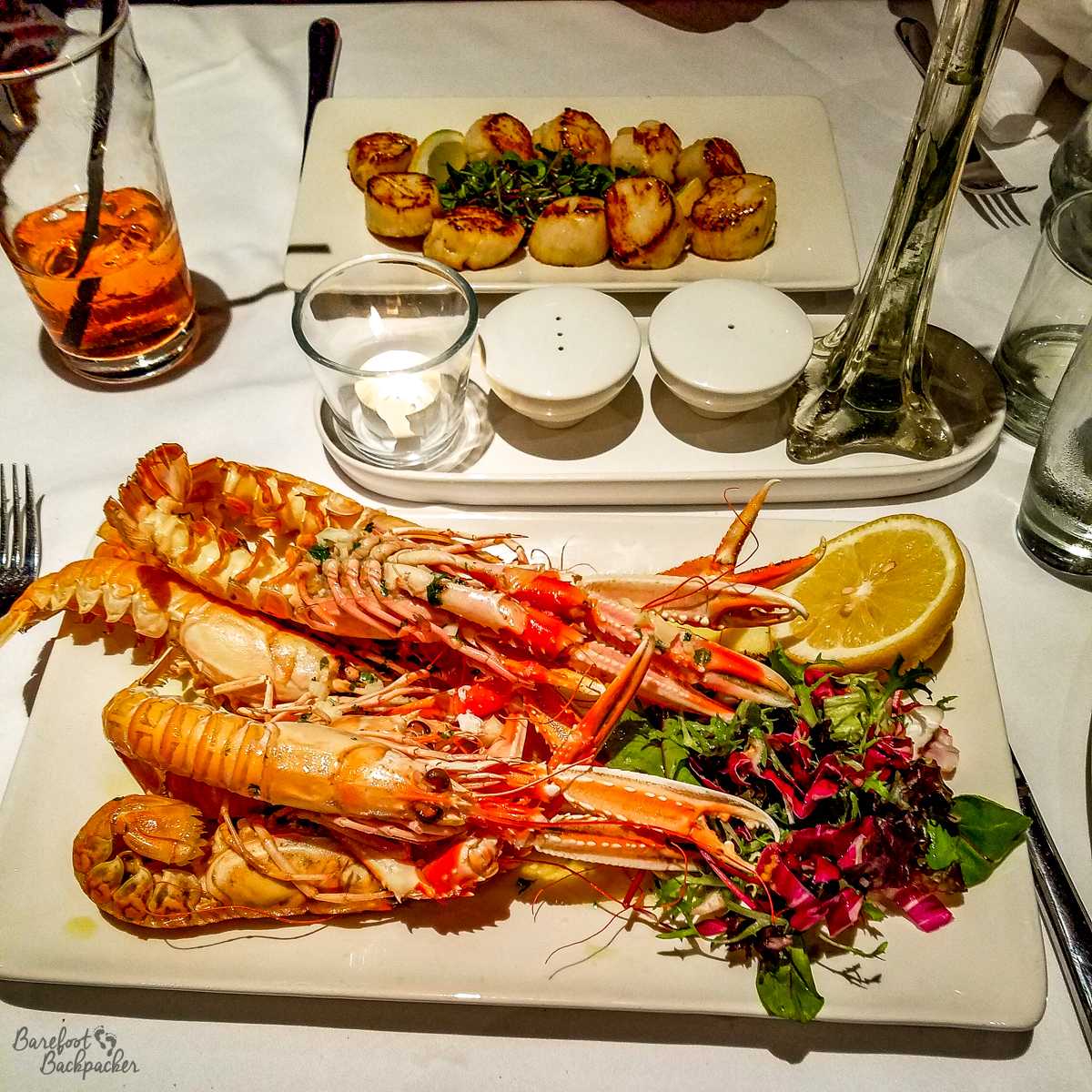
Loch Fyne seafood – Langoustines and scallops. And a whisky, obviously.
Once you get down into the Mull itself, there is very much a feel of a very long, but picturesque, dead end. There are pretty much only two roads on the peninsula – the main A83 along the western side and a much smaller road that runs along the eastern side, down the Kilbrennan Sound that separates Kintyre from the Isle of Arran; Loch Fyne starts at Tarbert.
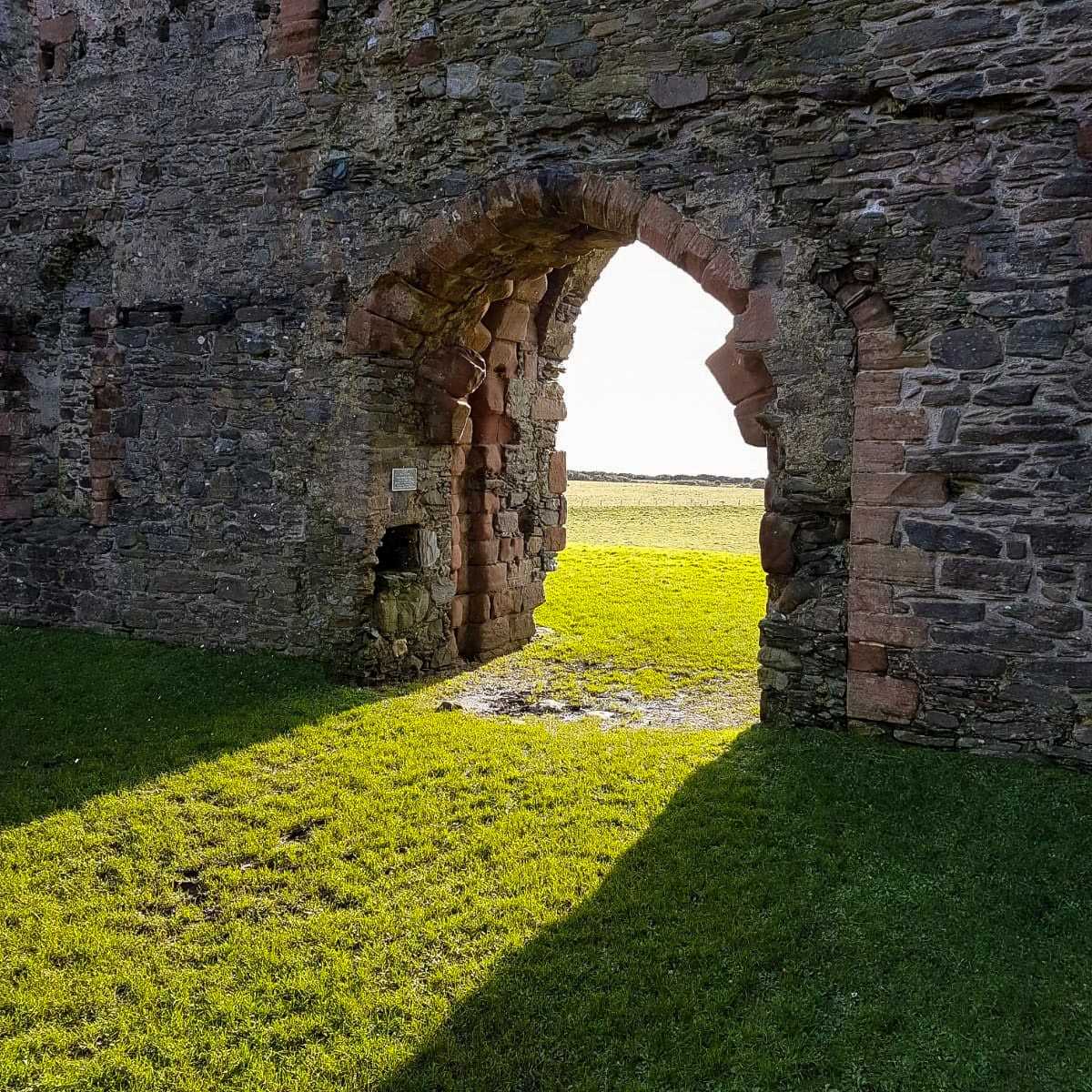
One of the remaining walls of Skipness Castle. Image taken by my friend Elly.
On the eastern side of Kintyre, not far south of Tarbert, are the remains of Skipness Castle and Chapel. They date from the 13th Century and appear to have been abandoned after the internal wars of the mid 17th Century (of which the English Civil War was the most attested). The chapel was also notable as being associated with St Columba – the leading early Christian missionary in these parts and who is most notable for the abbey on Iona, an island off Mull, near Oban. Indeed there’s an unofficial pilgrimage trail from Donegal to Iona that follows his journey.
Carradale Harbour, late December, and it shows.
Further south along the coast is the small village of Carradale, notable for the fishing of herring and shellfish, and for being the long-time home of novelist and feminist activist Naomi Mitchison. I also dated someone who lived there for a while (Elly), who provided a few of the photos for this blog post. The area is also home to the site of a couple more ancient ruins and iron age hill forts.
About six miles south of Carradale though is Saddell Castle and Beach, arguably the most notable and most seen spot on the whole of the peninsula, but you’d probably never know it. To most Brits of a certain age (and presumably many people elsewhere with a knowledge of pop culture), the very name ‘Mull Of Kintyre’ brings to mind one of those songs by Paul McCartney that seems to go on forever. Wikipedia tells me it’s the biggest ever selling single in the UK that wasn’t done either wholly or in part for charity. The video to the song was filmed here on Saddell Beach, and is memorable for an entire pipe band marching across it in highland dress.
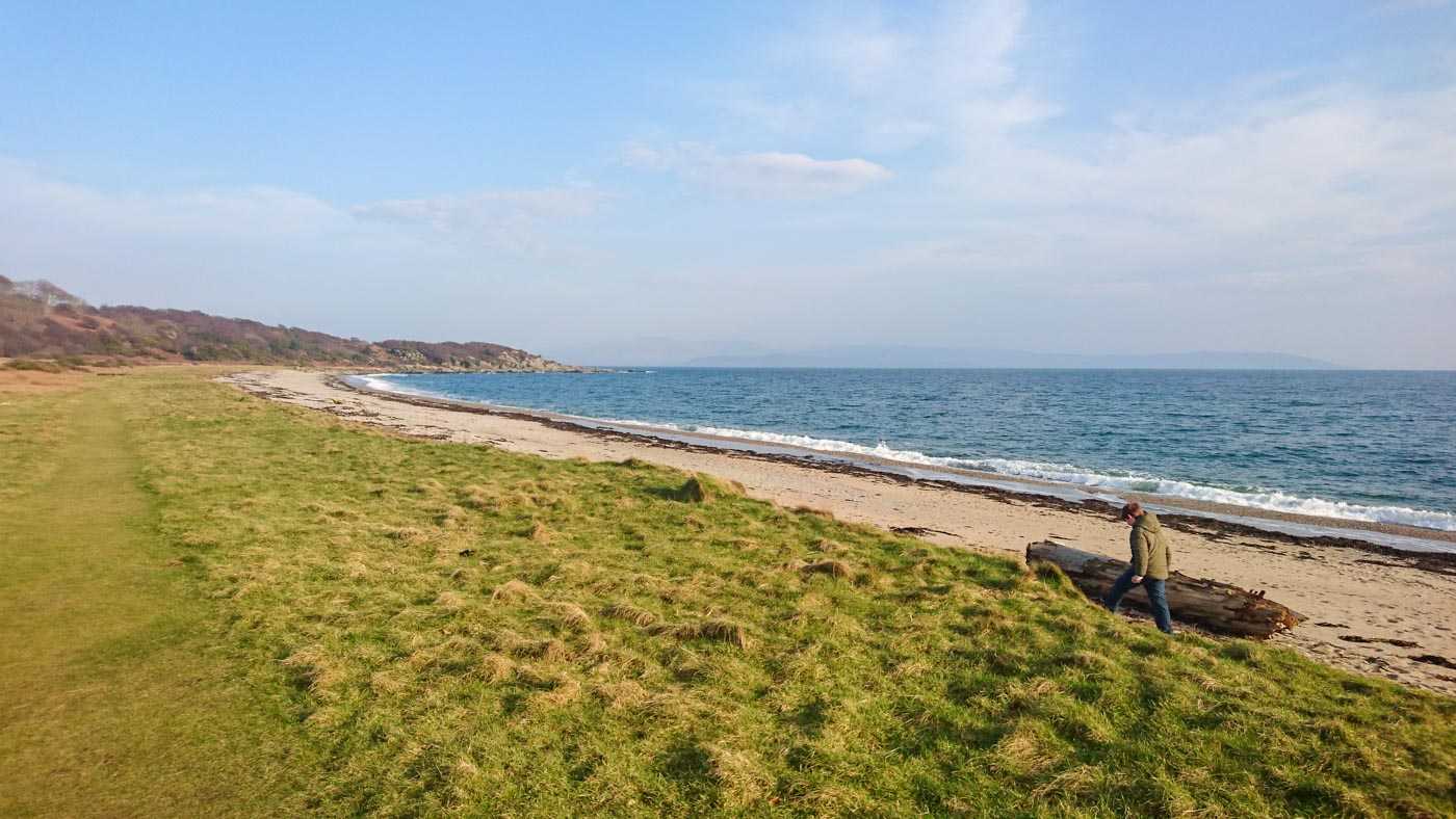
Saddell Beach, on a sunny day one February. Image taken by my friend Elly.
The western side has more beaches, including at Glenbarr, Westport, Sound of Kintyre, and Machrihanish, which additionally has some dunes. It’s a great place for birdwatching, by all accounts; not that I know anything about that.
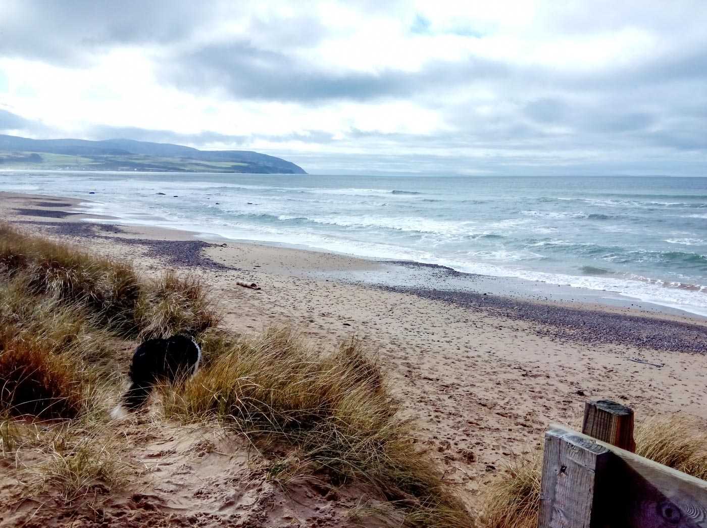
Sound of Kintyre beach. Image taken by my friend Elly.
Westport beach. Image taken by my friend Elly.
There’s another beach at Bellochantuy, but the village is more notable for being the site of the first building hit in the UK in World War Two, when a window was broken and some damage done to a garage roof by machine gun fire. Quite who damaged it is unclear – while some believe it was direct enemy action, others point out Kintyre is a long way from anywhere (except the base at RAF Machrihanish, which later became Campbeltown Airport) and besides no-one saw any German planes in the sky at the time. There’s a sense that it may have been accidental ‘friendly fire’, probably from the Fleet Air Arm, the air resource of the Royal Navy.
The Argyll Hotel, in Bellochantuy. Image taken by my friend Elly.
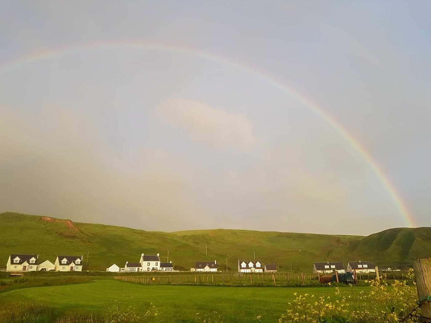
Bellochantuy village, hiding under the hills and a huge rainbow. Image taken by my friend Elly.
RAF Machrihanish itself later became Campbeltown Airport, one of those many remote airports in Scotland that serve communities otherwise largely cut off, which provide a quick link to Glasgow. A couple of decades ago, however, it could have hosted vehicles from more distant destinations – it served as one of the designated emergency runways if needed by the US Space Shuttle. It never was, fortunately. There were rumours it did play host to the mythical Aurora reconnaissance aircraft, and in later years has been in the running to the the UK’s first designated spaceport. This would be primarily for what you might call ‘horizontal’ traffic – space planes and space tourism; a site in Sutherland, in the far North of Scotland, was designated the first spaceport in the UK for ‘vertical’ traffic – pure rocket-type craft, satellite launchers, etc.
Both roads meet at Campbeltown, a town about half the size of Oban and accessible by bus from either side of the peninsula; one bus goes to Carradale, the other up the main road to Tarbert, with some eventually going all the way to Glasgow – you’d have to change at the top of Loch Fyne at Inveraray if you want to go by bus to Oban.
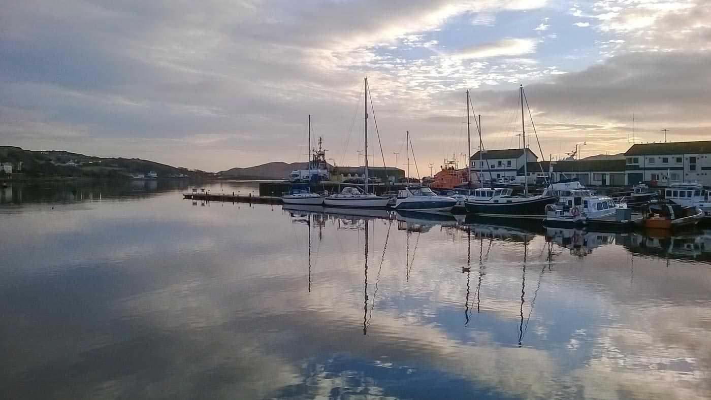
Yachts in Campbeltown Marina. Image taken by my friend Elly.
I’ll concede I’ve been to Campbeltown precisely once: I briefly changed buses there on a late December day some 10 years ago, so it’s not a town I know particularly well. I can tell you at the time of writing it’s the most westerly settlement with over 1,000 people on mainland Great Britain, and that it, like Oban at the start of this journey, is most famous for its whiskies. But then most places in this part of Scotland are, I guess.
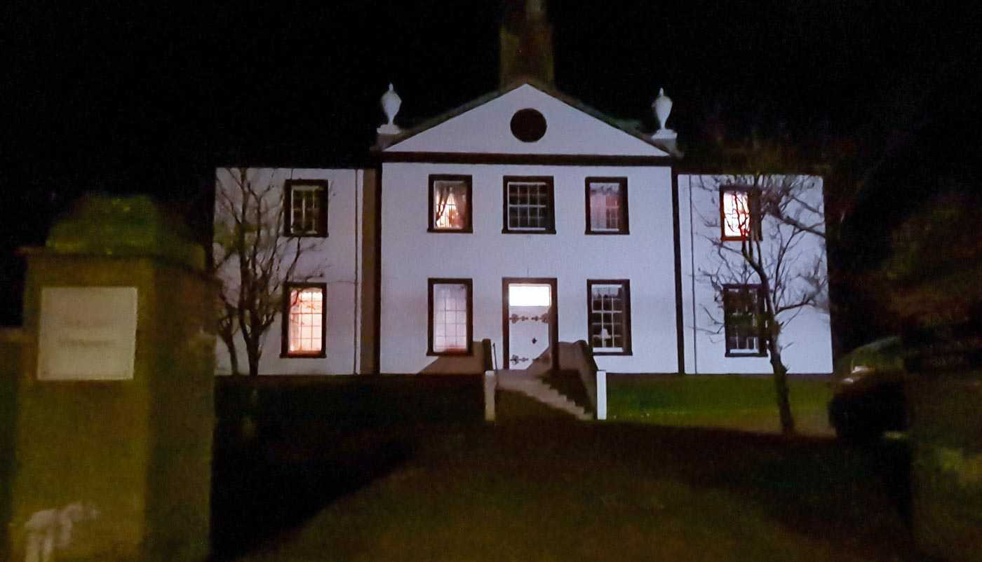
Campbeltown Old Courthouse, looking not a little like it’s the setting for a 1980s American horror movie. Image taken by my friend Elly.
It’s quite a pretty town, with a large number of listed buildings, including the old town hall and courthouse, and the Lorne & Lowland Parish church, with an interesting bell-tower. There’s also a small marina, and it’s possible to catch a ferry over to Ardrossan, a port a little to the southwest of Glasgow. This ferry takes about three hours, but only runs three times a week, and only in summer. Otherwise it’s the plane, or a 140 mile drive to Glasgow along less-than-straight roads.
Almost at the very tip of Kintyre is Southend, one of the world’s most obvious place names. This is notable for its setting – rocks at almost the edge of the world from where it’s possible to look out to see towards Ireland (which is only about 20km away; close enough for a tunnel or bridge, maybe … maybe not!). It’s also home to seals who glide onto the rocks. Apparently.
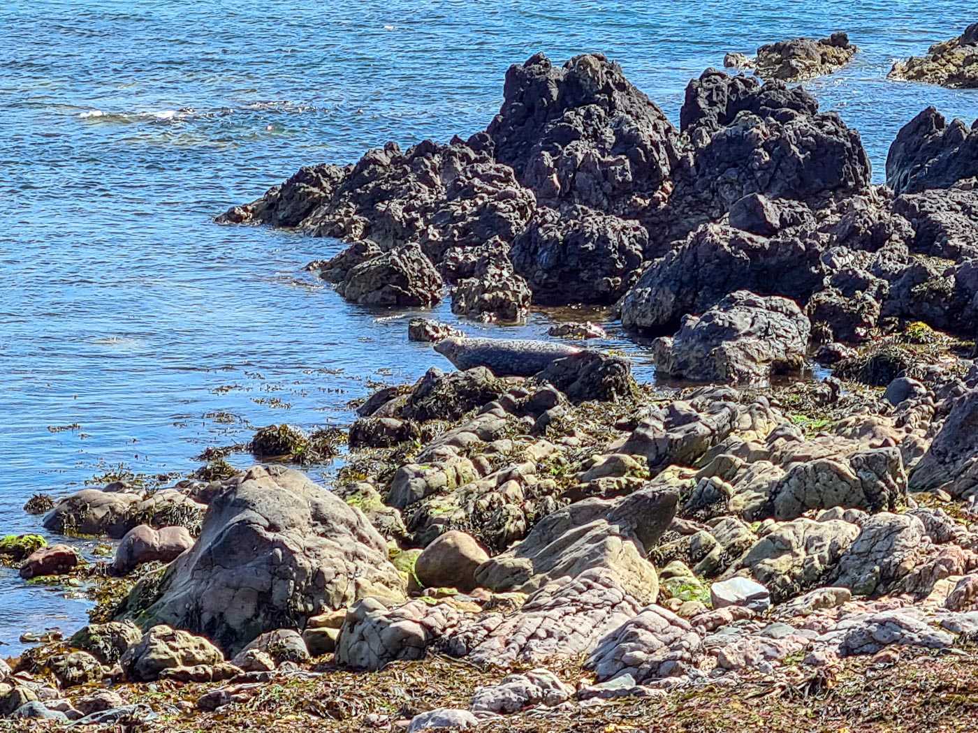
The rocky shoreline at Southend. There may be seals present. Image taken by my friend Elly.
It was here that St Columba is believed to have first landed in Scotland on his way up to Iona, and the area around Southend has a number of sites associated with him, including a footprint, a well, and some caves. The caves are believed to have been inhabited since prehistoric times, and they even appear in the 1881 census.
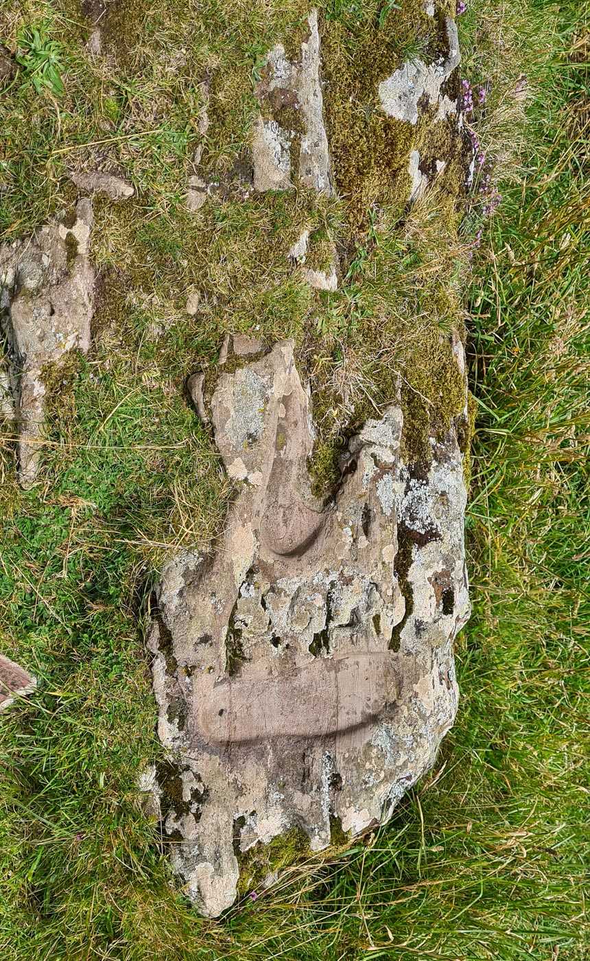
I have to say, it doesn’t look much like a footprint to me. Image taken by my friend Elly.
It’s certainly a part of the world I need to go back to one day soon.
—
Authorities visited: Argyll & Bute. Dates Visited: Several times between 2010 and 2019.