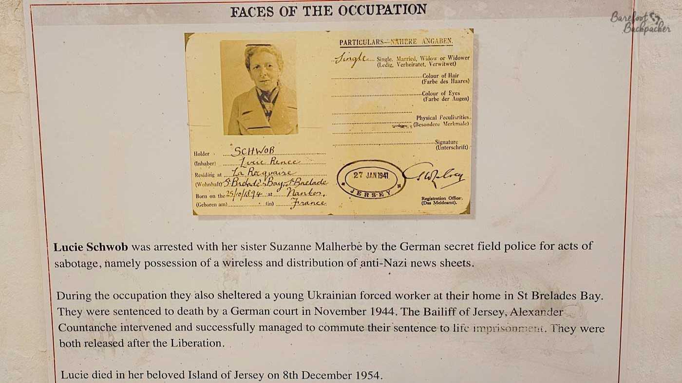
Back in 2019, I hiked across Great Britain with my friend Becky the Traveller, from the most easterly point on the island (Ness Point, Suffolk) to the most westerly (the tip of Ardnamurchan, Scotland). It’s one of the biggest and most intense things I’ve done, but I realised I never wrote a blog post about it, Not long after having my initial thoughts, I wrote a blog post about why I wanted to do such a hike, which mainly boiled down to ‘why not?’; as good a reason as any to do something foolish, I think. That post was also written before we even started on much of the planning, never mind the preparations, so it’s quite aspirational and written in hope.
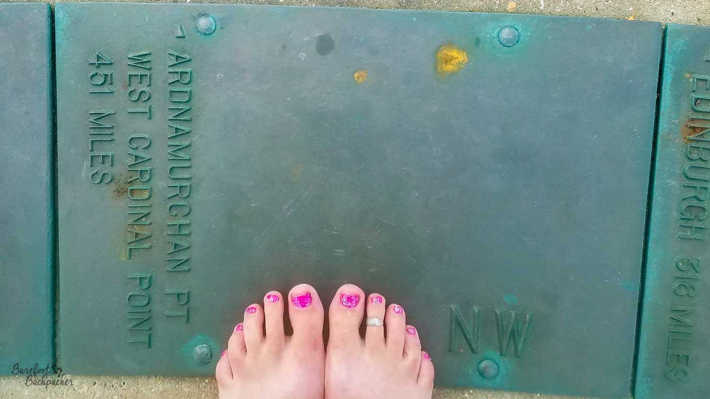
The plaque on the ground at Ness Point tells us Ardnamurchan is 451 miles away. That’s a straight-line distance. We did not hike in a straight line.
It’s not a spoiler to say that we completed the hike, quicker than we imagined and with nowhere near as much going wrong as we’d feared. I’d love to say “Proper Planning Prevents Poor Performance”. Love to.
Preparations and Planning
As I’m sure you’re aware, things always sound far better and more interesting when you’re discussing them in a pub several months before you have to do anything to make it real.
I’ll be honest, much of the actual planning was done by Becky; she pretty much told me what I should bring, what I should buy, and what I should prepare for. My main role was to plot out the potential route and the expected timings, though to be honest planning so far in advance made my brain go indifferent to it and while I had a route through Scotland, it was still incredibly vague even when we arrived.
Planning the Route
Our intention was to do as much walking as possible on footpaths, ideally long-distance named trails, but any path off-road was welcomed. This was partly because road walking is quite boring, but also, more practically, it’s not really that comfortable, both to physically walk on (hard surface) and because we’d be consciously too near traffic. The only non-negotiables Becky had were to do both the Pennine Way and the West Highland Way, though in truth, aside from a couple of cut-corners, it would have made sense to do them both anyway. As it turns out, Becky is a completist, to the extent of even not cutting literal corners of fields.
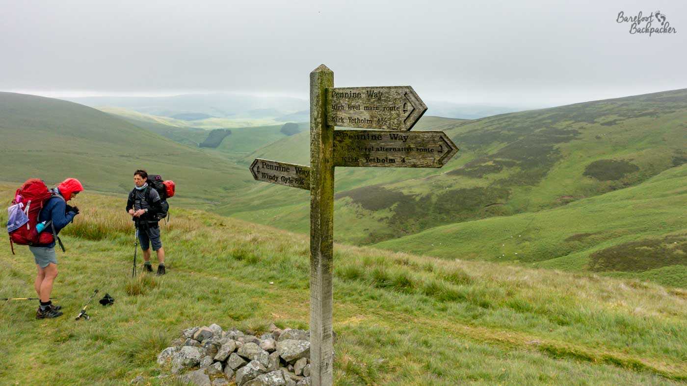
Close to the northern end of the Pennine Way.
I spent hours scouring the Ordnance Survey Maps of the country, cross-referenced with other people’s travelogues, and managed to plot out a rough route that was pretty close to idea, with only a few sections that felt easier to plan once we got there, most notably the end section through Ardnamurchan as we found very little info on it. The whole journey wouldn’t be close to the most direct route – indeed it was roughly twice as long as a straight line – but it felt the best compromise. A couple of original plans were changed early on; we chose the Norfolk Coast Path over the Peddlars Way, for instance, mostly for the the sea views. We also actively made the choice to detour into Nottingham (to pop by home) rather than stay on the Midshires Way until Derby. We did try to estimate how long each section would take and where we’d likely spend the night, but when you’re hiking with tents, and with no fixed meetups, details like that don’t really matter so much.
Planning our equipment
Hiking with tents would give us much more flexibility around where to spend each night, rather than having to rely on always being able to make it to a village or Youth Hostel. We chose tents over bivving (using a simple sheet or natural resources to make a shelter) as, though bivvying would make for a very lightweight backpack, and indeed we knew people who hiked this way, we both wanted an enclosed waterproof space, for comfort. They still needed to be lightweight and not too big though, both for ease of carrying and subterfuge; wild camping was illegal in England and though not the biggest crime in the world, anything that was small enough to not arouse suspicion would be useful. In the end I went for a low, long, camouflage-green one that was technically a two-person tent but I’m convinced if I were to be comfortable sharing that tent with anyone, it could only be Frodo Baggins. For added warmth and comfort, I also got a sleeping bag (which, very on-brand, looked like a lemon-and-lime boiled sweet), a roll-mat, and an inflatable pillow, which never did inflate very well.
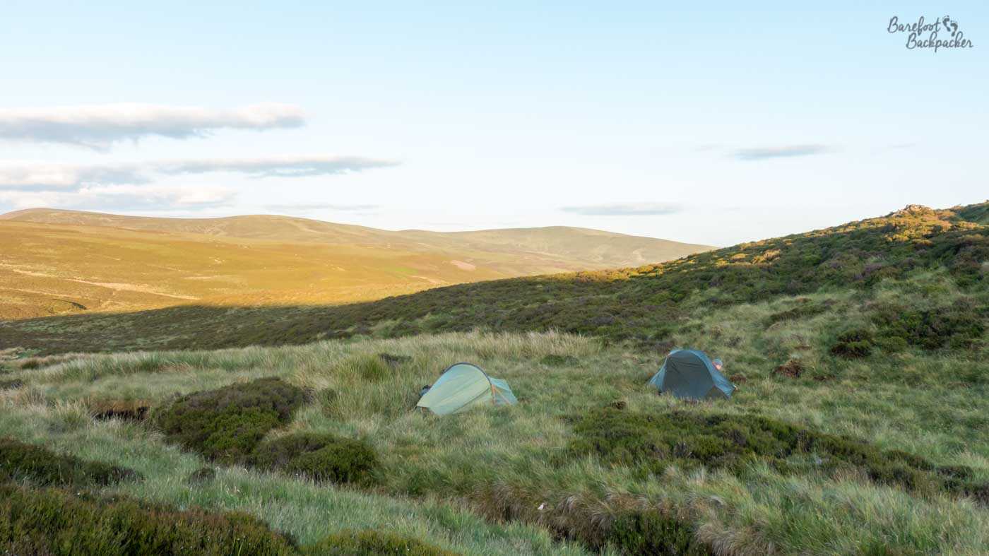
Our tents, not quite camouflaged in a moor on the Cross-Border Drove Road in the Scottish Lowlands.
We also had to think about cooking; we’d be carrying snacks but we’d need some hot food and drink. The food itself we knew we could worry about en-route, but we made sure before we left we each had a small gas stove, canisters, lighters, cutlery, and a pot to cook in and eat out of. A full gas canister adds to the weight of the backpack, but I carried two, because I didn’t want to run out of gas halfway up a Pennine fell. In the event this was overkill and I didn’t even use all of one of them, but it made me a bit more restful.
The backpacks themselves magically appeared one day. Becky was in charge of that; I think she managed to snag a deal with Osprey to get a couple on the cheap, in return for ‘coverage’, because she’s a notable and popular hiking blogger and vlogger. Mine was 70L, vaguely blue-grey, and I still use it today, mainly for supermarket shopping. She also managed to get a series of dry-bags that have proved very useful over the years.
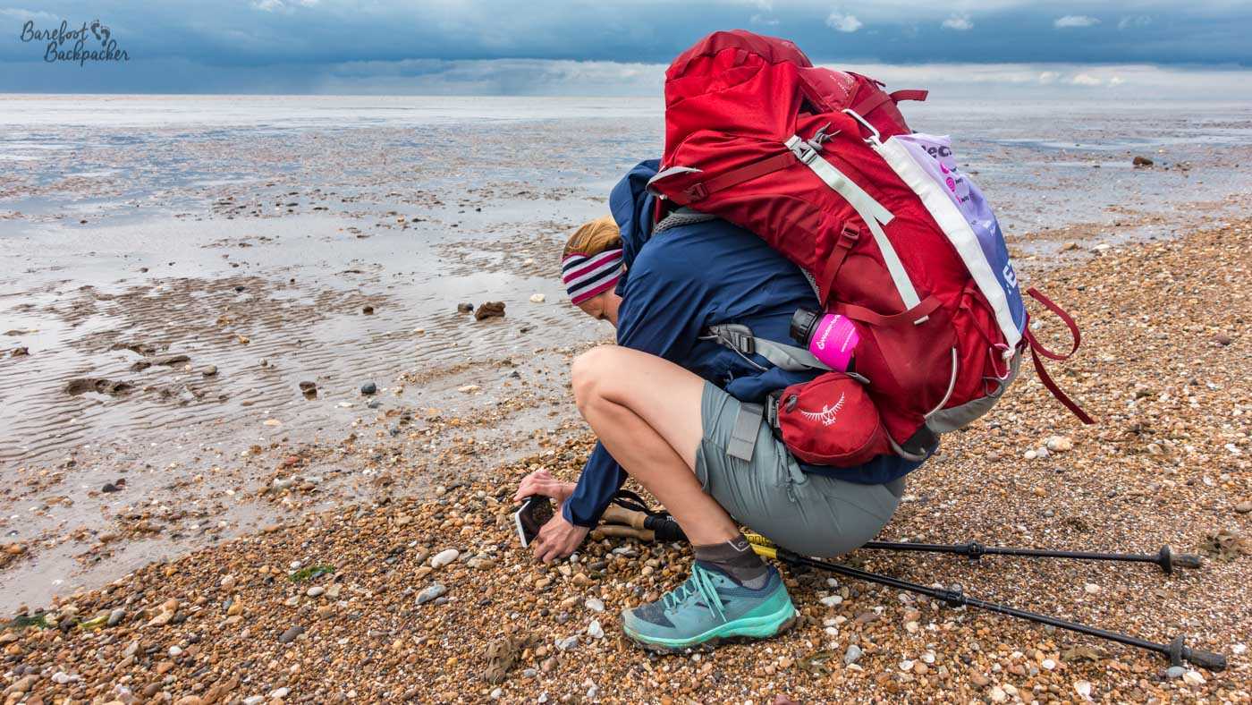
Becky stops to take a photo of a pebble, backpack clearly visible.
Regarding clothing, all we mythered about was comfort and pockets, so we took cargo pants and t-shirts, and very few of either. The fewer clothes we carried, the lighter the bag would be; I had only about two changes of clothes for the whole trip. The downside would be that washing clothes would be awkward, given how much walking we were doing and how little time we’d be stopped in one place. I did get a cheap kagoul which proved itself useful over the moors, as well as some new, minimalist, hiking sandals for the days and moments when I wasn’t barefoot. Sadly this was less often than I’d intended – Becky had casually assumed I’d be hiking mostly barefoot before I’d even raised the subject – but we’ll come to that later.
We didn’t take paper maps, because we’d’ve needed tens of them, so we knew we’d be relying a lot on mobile equipment. Between us we had three phones and at least two portable power banks, and we had the Ordnance Survey App on all the phones, so we always had backup in case of problems.
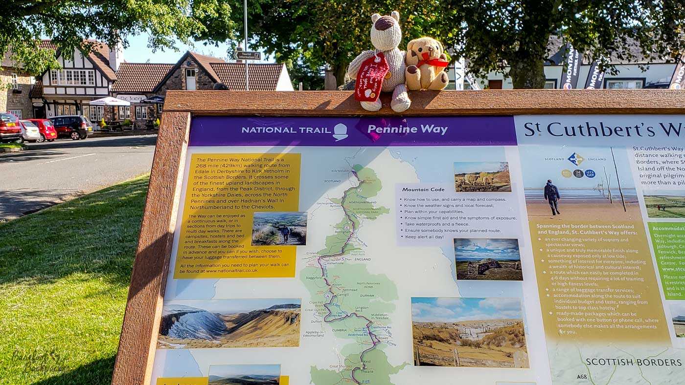
Of course we also made use of physical signage, no matter how vague it was. And yes, Baby Ian And Dave came on this hike too.
We also made sure we had little but important things, like a compass, pens, torches, and tick-removers, because we’d be passing a lot of farms, and Lyme Disease is nasty. The only other big thing we purchased were hiking poles, just in case we needed more stability. I only used them on the Pennine Way, but I used them a lot there.
Practice Hikes
Prior to the real thing, I did three ‘practice hikes’, to assess things like terrain, wild camping, and how comfortable it felt to be hiking with other people. One of them, a two day exploration in the lower Peak District with Becky, went perfectly well, despite the rain. We shared a yurt somewhere near Longnor and practised our photography. The other two, well, they were definitely Lessons Learned.
One of them was in the March, with Becky and another friend (Joe) who was giving us videography tips. Joe is not a hiker, bless him. And we were hiking on Kinder Scout, in the upper Peak District. And that weekend was a Named Storm. 50+ mph winds, scattered snow showers, and generally very silly conditions to be scrambling up and down rocky waterfall paths. Becky was unfazed by any of it; we had reservations. Fortunately this wasn’t a pointer of things to come.
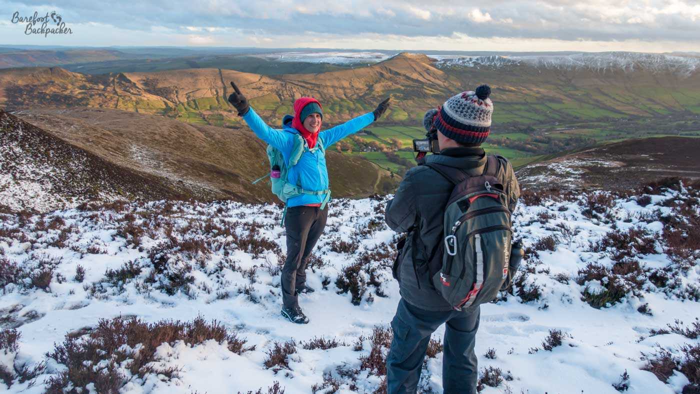
Joe taking a photo of Becky. One of them is much more excited about this than the other.
The other was a month later when I did a solo hike along the Trans Pennine Trail and down the Pennine Way past Kinder Scout, and was the first time I’d both wild camped and used my new tent. It all went about as well as you’d expect; despite being April the night was bitterly cold and by the time I’d worked out only how to put the outer layer of the tent up, it was dark. And I forgot to bring matches so couldn’t cook anything. I got almost no sleep, I was shivering all night, and my phone battery stopped working because of the conditions. Something Something Type Two Fun. To be fair, when Becky first saw my tent on the first night of the Hike, even she was confused by it.
Setting Out
We left for Lowestoft on the Saturday afternoon, 18th May 2019; we stayed two nights there to do some last minute preparation and shopping for provisions, and a decent night’s rest, before starting the hike itself on the Monday morning.
I don’t know if I can say I was ‘excited’ about what lay ahead. I don’t honestly think I thought far enough ahead; in my head we were just going to get up each morning and go for a walk, and do that every day for two months. In addition, I didn’t see it as one long journey, but rather lots of shorter ones. Our first path was the Norfolk Coast Path, which would take about 6 days to complete, so at the start I wasn’t thinking further than that. Every time we finished a named path, my mind would then move simply onto the next one, or the next major change in direction, never to the end.
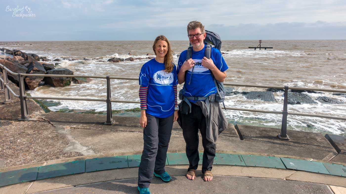
Just before we took our first steps on the hike. Such unbridled naivety.
Our hiking route across Great Britain
Some of the paths I’ve blogged about on separate pages.
1) Lowestoft – King’s Lynn (Norfolk Coastal Path and extensions)
2) King’s Lynn – Wansford (Part of the Nene Way)
3) Wansford – Nottingham (Several named and unnamed paths, including a small section of the Midshires Way, and some public roads)
4) Nottingham – Edale (Derwent Valley Heritage Way and extensions)
5) Edale – Kirk Yetholm (Pennine Way)
6) Kirk Yetholm – Little Vantage (Parts of St Cuthbert’s Way, Southern Upland Way, and Cross Borders Drove Road)
7) Little Vantage – Linlithgow (public roads and unnamed paths)
8) Linlithgow – Strathblane (Parts of Union Canal, Forth & Clyde Canal, & John Muir Way)
9) Strathblane/Milgavie – Fort William (West Highland Way)
10) Fort William – Ardnamurchan (various unnamed paths and some public roads)
Miscellaneous Stats from the Hike
* In total, we walked 952 miles – the thousand mark was just too far away to fudge.
* Our total altitude gain was in the region of 22,000 metres. Or, about 2 and a half Everests. The highest point we reached was Cross Fell, at 893m, and a pretty easy climb in all honesty. The lowest point we reached was a couple of metres below sea level in the Fens. Our first day on the Pennine Way saw us climb higher than on the first two weeks combined, because Eastern England is flat.
* The hike took 57 days, and included 5 rest days. This means we walked an average of 18.3 miles on every day that we walked. When we were planning the hike, we’d set ourselves the target of 15 miles/day.
* Of those 57 days, we overnighted in different locations seven times. Three of which were as a result of injury, as I’ll come on to later. Three were when, for reason of self-care, I felt I needed a small bit of luxury so I stayed in a pub / B&B while Becky camped. The other was when we had a night at our homes as we passed through Nottingham.
* We wild-camped together fifteen times, six of which were on the last seven nights. These included by a marsh, on the side of hills, in the woods, by the side of a loch, and on a beach. Other places we stayed included the garden of a dementia care home, a random empty scout camp, several campsites both official and unofficial (including two directly outside pubs), and a not-yet-open AirBnB. In addition, several kind people en route put us up in their houses, some of them Becky knew, others were complete strangers. We also stayed the night twice in bothies, once at the very end of the Pennine Way and the other time on the West Highland Way.
* One of Becky’s ideas in the planning stage was that we should raise money for MIND, the mental health charity, for mostly personal reasons. In total, between the two of us and including money donated en-route from people we met, we raised around £1600.
Notes from the Hike
Equipment, food, and clothing
I had a backpack that weighed probably somewhere between 17-20 kg, depending on how much food I was carrying. We’d planned to wild camp and cook for ourselves every night, but practicalities and weather meant this didn’t happen as often as we’d aimed. We visited more pubs than you might expect, and some of my friends did claim we were on Britain’s longest pub crawl. However this was more for practical reasons (to rest, to charge phones, to plan ahead, and to increase the calorie count).
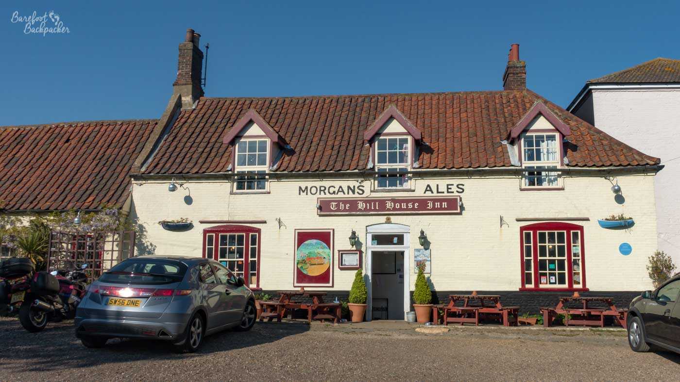
The Hill House pub in Happisburgh – the first of many pubs we visited en route.
Our food was light to carry and easy to cook, but also energy-intense. Becky had calculated an estimated calorie-count; how much food and drink we’d need to have each day to maintain our strength and health. She worked out I’d need about an extra 5,500 per day; I got nowhere near this, which is why I needed to buy new cargo pants in Peebles. She had a lot of easy-cook pasta packets; I tended to stick to couscous and tinned fish. We also had dehydrated meal packets, nuts, chocolate, boiled sweets, and an awful lot of beef jerky. I can honestly say that having packet couscous for the best part of two months makes you slightly disinclined to ever have it again. We also had refillable water bottles, including one with a filter (Water-to-Go) that we could fill up as we went, which made things a lot easier in the later part of the journey when we were much more in the wilderness.
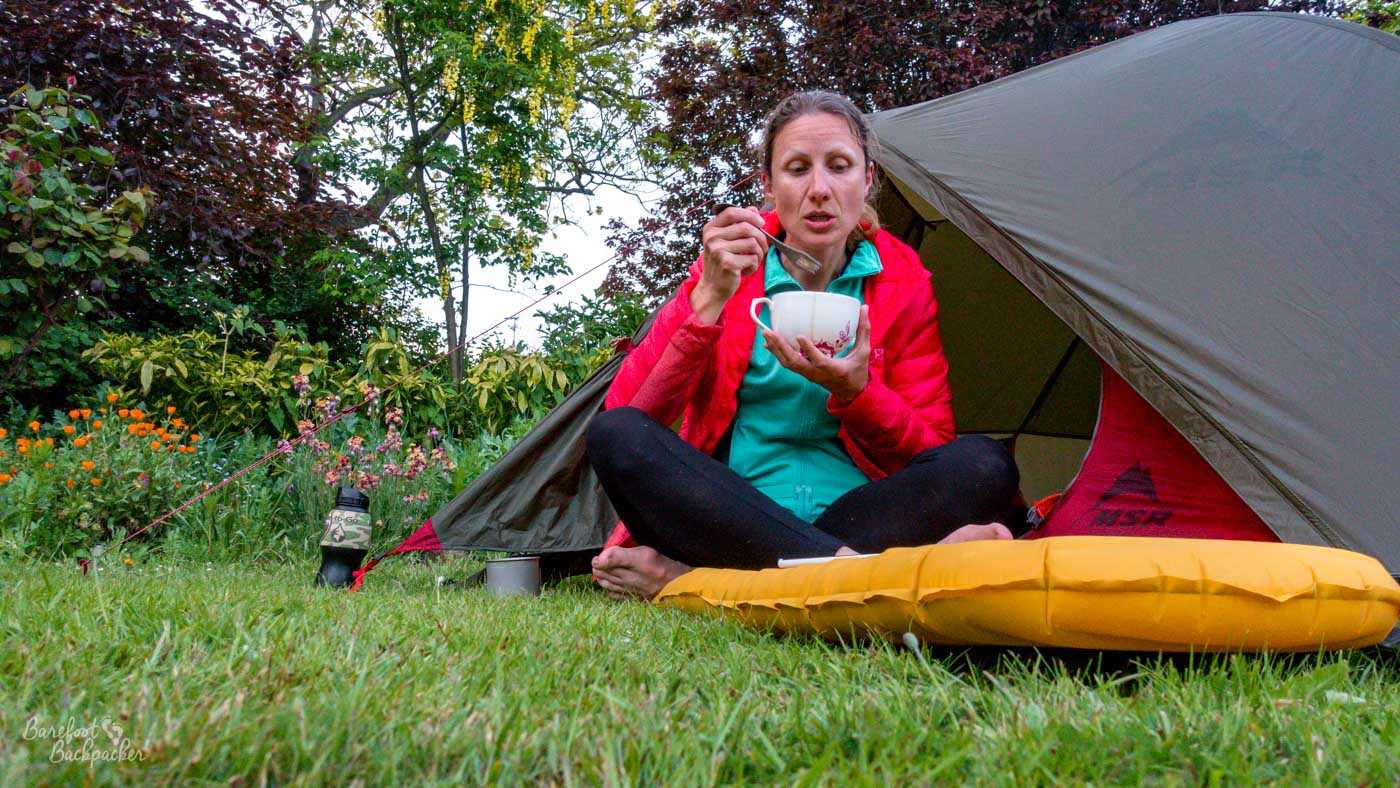
Becky eating, with her water bottle conspicuous to the side. No pics of me eating seem to have been taken.
Despite having little clothing, I don’t recall anything going wrong with them. Apart from my losing a hat in Bellingham, obviously. When you’re hiking 950 miles you get used to not really caring what you smell like, as whatever you wear is going to get dirty and smelly anyway. Heaven help anyone in the pub next to us when we’d finished a day’s hike. Our view was that, as long as what we were wearing was dry, it was fine to wear.
Injuries en-route
One of my fears beforehand had been that I’d get 100m down the road on day 1 and sprain an ankle or something; needless to say this didn’t happen. In fact, overall there were far fewer accidents and injuries than you might have expected. Becky had severe blisters at the start but after changing her shoes in Nottingham, she was fine.
Obviously I had the most injuries. This hike was the first time I heard the word ‘dyspraxic‘ – one of Becky’s friends suggested it to me – and when I later read out the symptoms of it to Becky, she laughed and nodded in agreement by the time I’d only reached the third one. The first instance occurred as early as Day 3. While camping in the grounds of the dementia care home on the Norfolk Coast, I forgot camping stoves stayed hot even after you turn them off. The blister on my right thumb lasted a week.
In Scotland I injured my left thumb. We were cooking dinner in an AirBnb so new, the knives were still sheathed. I observed they were still sharp; Becky replied with the naïve “Oh don’t be silly, you won’t cut yourself, you’ll be fine.”. It took two onions. The bleeding stopped the next day.
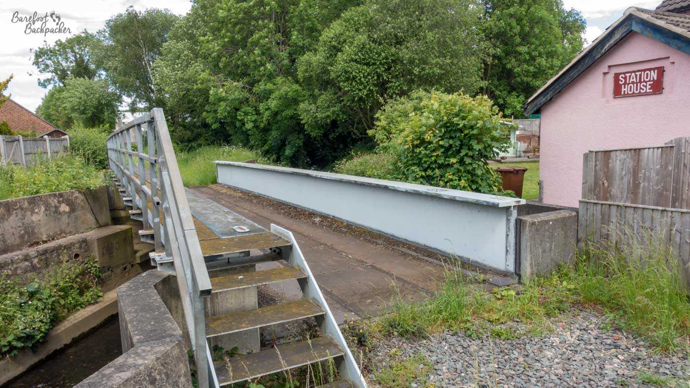
What remains of Little Eaton station. This was the photo I stopped to take that caused the injury. Was it worth it? … I have a passion for derelict railways, okay?!
My main injury came in Derbyshire. In the village of Little Eaton, I’d stopped to take photographs of the dead railway station, while Becky carried on to the village green for lunch. I didn’t need to jog after her to catch up, but I did. About five steps later, I ripped my toenail off by scraping it on the top of the pavement. It didn’t hurt, but it didn’t stop bleeding for about three days. Fortunately I was relatively close to home, so I went back and rested it for a couple of days, before meeting Becky in Edale. Who was slightly surprised I came back. The only lasting effect was a recommendation that ‘I keep the toe dry, to stop it becoming infected and to make it heal quicker’. The first week on the Pennine Way was the most dour, damp, miserable weather of the entire hike. I wore very worn-out hiking shoes for much of that path, and dumped them in the shoe graveyard at the pub in Kirk Yetholm once the toenail had healed enough.
Conversely, Becky had the only bout of illness, and even that was quite short-lasting. We took an unplanned rest day in the pretty and slightly hippie Scottish Borders town of Peebles as she took a day to recover from what she thinks was a dodgy warm steak pasty she’d been carrying around the day before. She was also the only person to (noticeably) get a tick-bite; sadly the tick-removers we’d bought didn’t seem to shift it so we sat in a pub in Fort William and got it out with a credit card.
How did it feel to finish?
In a way, reaching the end was a bit of an anticlimax. A lighthouse, about three miles from the nearest village, at around 9.20pm; no welcoming party, no big celebrations, just the two of us (and a brief chat with one of the people who worked there), and, it must be said, a small bottle of port. But maybe that was appropriate; it was our journey after all, and it was nice to just chill.
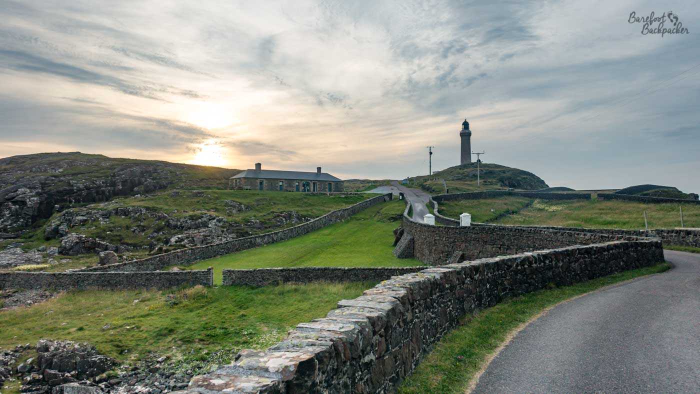
The road curls around to Ardnamurchan Lighthouse in the approaching dusk. We camped our last night at the bottom of the green slope in the centre of the shot.
There was a sense of ‘what now?’; in the immediate short-term I took the opportunity to travel further west, to the Outer Hebrides, while Becky climbed a couple of mountains near Fort William with some of her friends. But in a wider view there’s that feeling of ‘I’ve done this Big Thing, what’s next?’. To be honest I don’t think I ever really answered that question, but it is certainly true that if I hadn’t done this hike, I wouldn’t have contemplated doing ultramarathons.
I also need to say that at no point did I think I wouldn’t finish it. Even when I had the toenail injury I knew all I needed to do was wait for it to scab over and I’d be on my way again. Conversely though, as I never really thought of it as one journey, but as a series of shorter ones, I think it was only once we crossed into Scotland and reached the northern end of the Pennine Way that I started to have the mental visibility of knowing that we’d make it.
Lessons Learned
Would I do anything differently?
Don’t run barefoot wearing a 20kg backpack when you’re dyspraxic?!
I think if I set out to do things differently, it would be a different hike with different experiences, different highs, and different lows. I’m not saying we got everything right, and for sure there’s little things that we could have changed, but overall I don’t think they matter. I think I also didn’t really know what to expect, so I didn’t have a baseline to compare with.
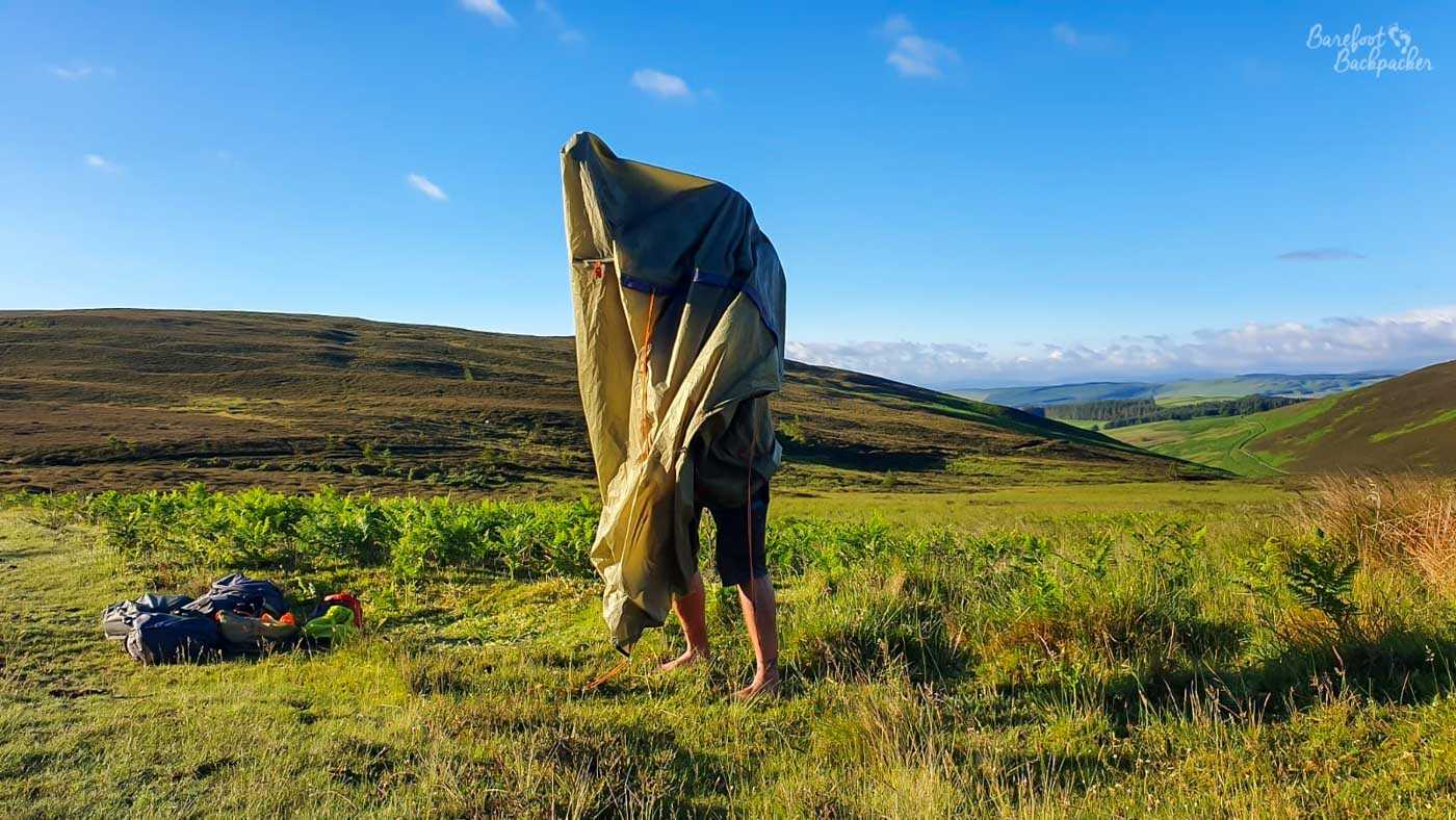
Me, losing a battle with my tent, packing up after a night wildcamping somewhere in the Scottish Lowlands.
It’s similar to when people ask what was easier or harder than I expected. My expectations were vague in the first place, so I can’t really say how they were met. I will say crossing the Fens was easier mentally than I expected, but only because they went by so quick.
What was my biggest takeaway?
I think it was just a realisation as to how much of my own country I went to – some of it being parts I didn’t really know about. In my eyes, the best day of the hike was in the second half of the Pennine Way; a long day (about 21 miles) from Middleton-in-Teesdale to Dufton, that passed some stunning scenery I didn’t even know existed, including three waterfalls (Low Force, High Force, and Cauldron Snout), and finishing at a stunning vista at High Cup Nick looking down a rounded valley out over towards the Lake District. It helped that it was a pretty sunny day, but even so; this is all in the North Pennines Area of Outstanding Natural Beauty and you can’t help but feel if it were anywhere else in the country, it would be filled with tourists. Yet we had it all pretty much to ourselves.
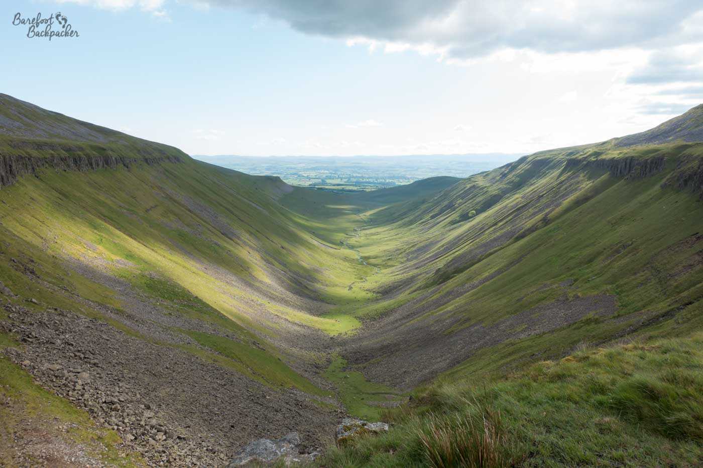
The valley at High Cup Nick. This looks better when you’re there, honestly.
I’d argue that many people don’t explore their own country enough – they’ll go flying around the world to see something interesting but don’t necessarily realise something equally as worthy lies on their own doorstep. Maybe that’s something people like me can help to change?
What did I realise about myself?
In general, the hike made me realise I like travelling – by which I mean I enjoy the act of travel in and of itself, rather than using it as a means to an end. I enjoyed the journey, and the destination didn’t matter. I also realised I feel more comfortable travelling without a deadline or strict schedule; even if that certain day is two or three weeks in the future, it still feels restrictive. And staying in one place more than a couple of days bores me.
I also realised I find joy in exploring scenery, especially rolling hillsides and sea views. But the nature of the path makes a difference, I prefer to get into a rhythm and keep moving, rather than keep changing stride. Part of the West Highland Way was too rugged and uneven for me and I felt I had to concentrate too hard, so I didn’t enjoy that bit of the walk. Conversely I loved the terrain and the scenery of the Cross Border Drovers Road, with gradual slopes and the whole country panning out around you but without having to go up or down to see it, and fairly comfortable defined or grassy pathways.
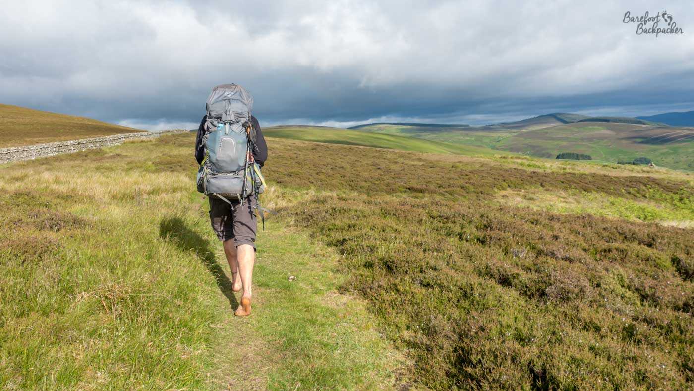
This is the kind of vibe I love. Hiking barefoot through the Scottish Lowlands.
It was interesting having a travel companion for such a long time, especially for someone who’s used to solo travel. That said, we agreed we were more like two individuals hiking solo who just happened to be doing the same thing at the same time. That worked really well; it meant less pressure to be together, which meant it was nicer when we were.
There’s also something about ‘comparison’. Our companions on the Pennine Way kept saying they were ‘only’ doing that, as compared to our hike. Yet at the time we did it, one of my Instagram friends was walking from London to Rome; only slightly further but still feels bigger. It’s maybe in my nature to downplay achievements, but this, surely, is something too big for that.
Final Thoughts
I’m glad I did it. I think it’s the biggest thing I’ve ever done, and I’m glad I proved to myself I could do it, and that my fantasies aren’t all completely fanciful.
Hiking is a great way to see a country in detail, but obviously it’s not something accessible or available to everyone. And many countries don’t even have the infrastructure to enable you to do it, not safely anyway. I’m glad I was able to take advantage of the footpaths of Britain.
Still not going to do it again, though. Not even more barefoot.