“At top of hill now. You want stop for rest?” asked Jojo, our guide (*).
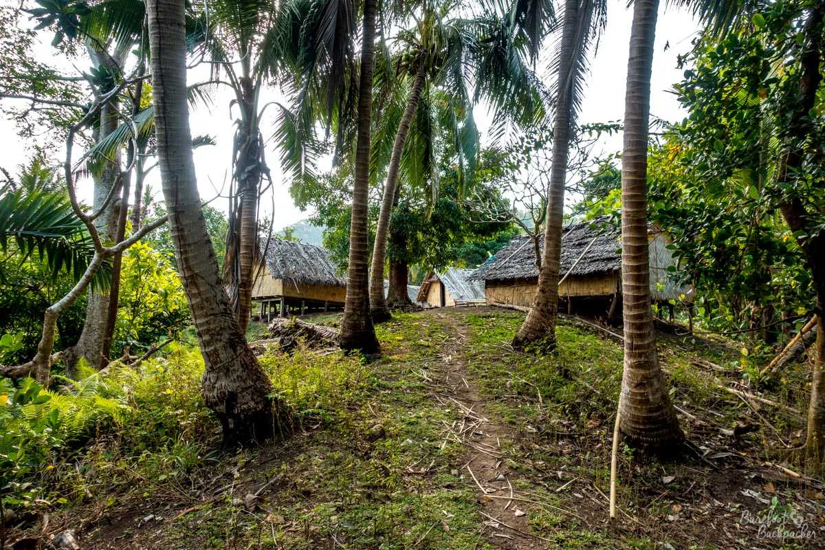
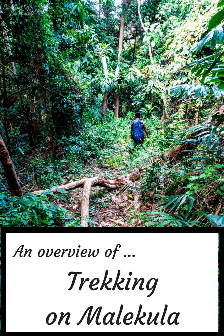
We were about 15 minutes in to what would turn out to be a 5 hour trek through the jungle of north-western Malekula Island, and the trek seemed to start with a hill. A bloody great big one. And not even the sort of hill you could stop every so often and admire the view from, unless you liked trees. The trail was roughly one human wide, weaved about all over the place, and seemed to exist purely because the occasional local villager had an idea to take naïve tourists on a trail through the bushland.
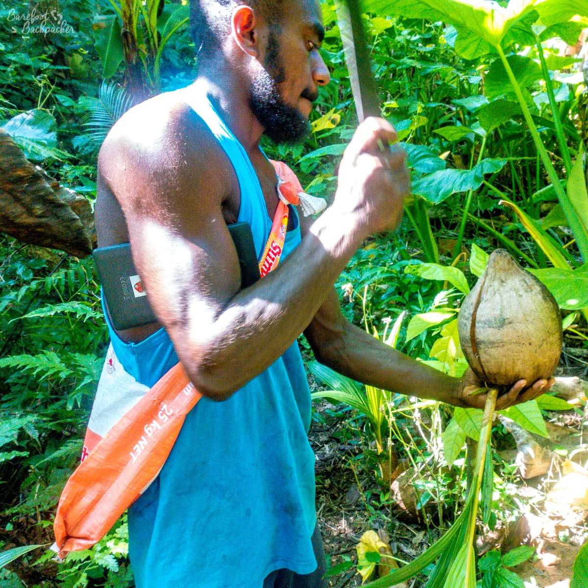
Jojo, cutting a coconut with a machete. Very useful, but quite unusual to Western eyes.
Like all the guides I’d experienced on the treks thus far, he carried a machete. It seems like everyone does here, even the young children; given the history of the island, one might have a feeling of unease about this, but in reality it’s a necessary way of life – the jungle grows quick so it’s necessary to have a tool that can hack away to create new paths as and where necessary. It’s also useful to cut fruit; this is an area rich in coconut and grapefruit – indeed the former is one of Malekula’s major exports, and fallen/opened coconut husks litter the ground almost everywhere. Another tree that’s common to the area is the Banyan tree, and I was introduced to the difference between the male and the female tree. The female tree is smaller, but with quite a large trunk. The male tree is bigger, taller, but made up of many much smaller trunks. At which point many of my female readers would go ‘yep, what’s new?’. But anyway.
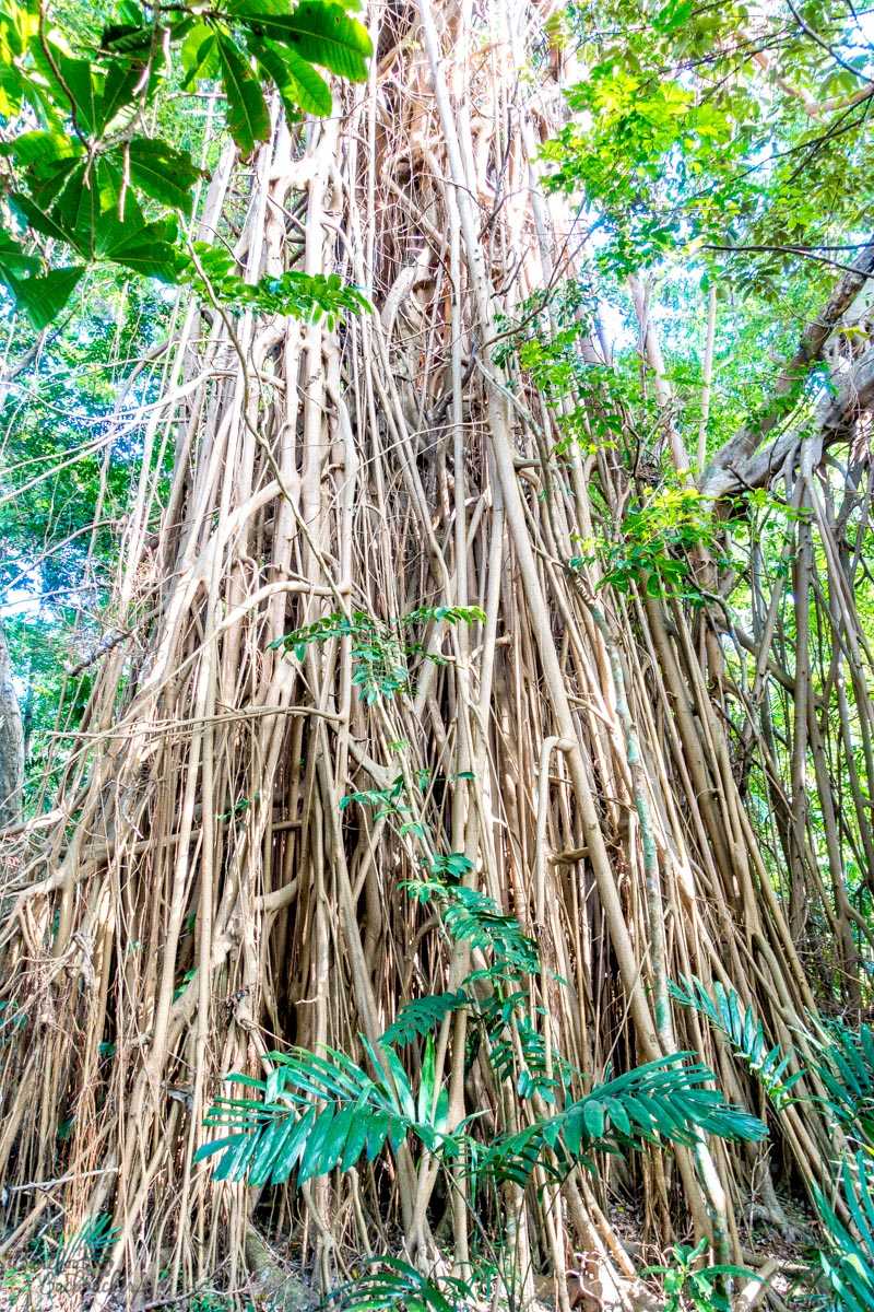
A typical banyan tree on the trails. It’s a male.
This was the Big Nambas Trek, a relatively short (in hiking terms) trail that cuts a corner off the lower western edge of what’s known as the Dog’s Head – the island of Malekula looks a little like a small dog and at its northern end it ‘bulges’ like the head does. The trek ultimately cuts across the neck and goes all the way to Lakotoro, but we were only doing the first 10-15km or so. The name comes from the fact the path goes through the middle of the territory controlled by the Big Nambas culture, though we didn’t see any practitioners en route.
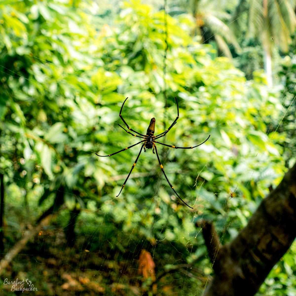
No nambas, but plenty of wildlife. This was in the way of the trail – fortunately this is not Australia and nothing was likely to kill us …
The trek itself felt almost like an extension of the two-day hike we’d finished the previous day. This lay further North, and crossed the whole of the so-called ‘Dog’s Head’; unsurprisingly this is called the “Dog’s Head Trail”. In total we walked probably about 30km, though much more of this was on the second day. The difference was for the Big Nambas Trek, we’d been able to leave our heavy luggages (mine was about 9kg) on the small truck that dropped us off and picked us up. I was joined for these two treks by a Danish chap called Jens who was big into hiking and had recently done an 8-day trek across New Caledonia solo; the difference being the trails there were were well signposted, whereas here … I’m sure at one point Jojo physically created the trail with his machete as he went. Still, he knew where he was going.
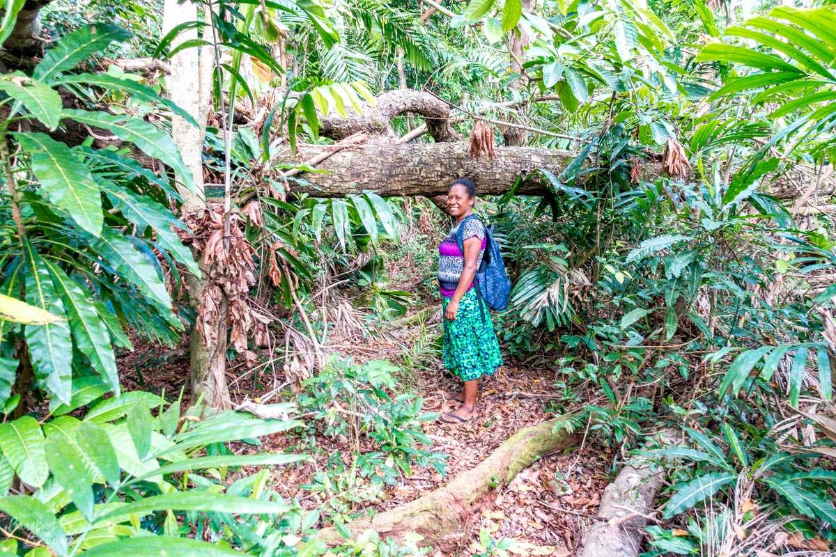
My guide on the Dog’s Head Trail, Clares. And much of the trail looked like this.
For the Dog’s Head Trek our guide was a lady called ‘Clares’ (pronounced ‘Cloh-es’); she came with us for the whole of the three days but didn’t join us on the Big Nambas Trek, instead staying with our luggage in the truck. Given the state of the roads, it’s not clear who had the more comfortable journey …
Coming up to the start of the Dog’s Head Trail, near Achin. It would probably have been quicker to walk from the main road.
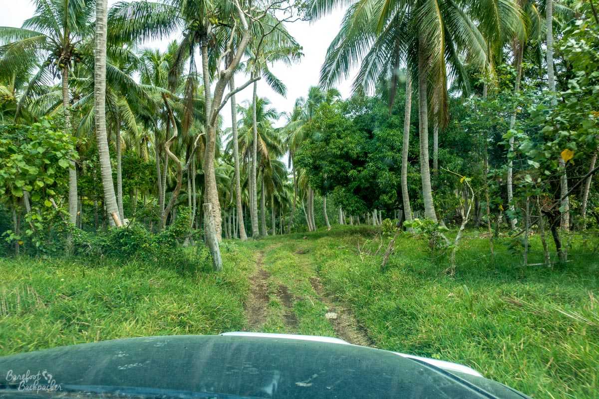
The Dog’s Head Trek starts in the north-east corner, near a small village called Achin. To even get to Achin from, well, most places where people stay on the island (near Lakotoro/Norsup) requires an hour’s transfer in a truck/4×4 along the main road along the east coast. Malekula’s equivalent of the A1 mostly resembles a stony, rutted, uneven, undulating, farm track. It’s not quicker to hike, but I’m sure I know a couple of fell runners who might relish that challenge.
The walk takes you through the complete variation of Malekula scenery and terrain. It starts in a relatively flat forest, quickly passes up and down some short but steep hills along narrow paths, some of which use tree roots half-buried in the ground as kind of ‘steps’, at times heads through what can best be described as jungle, across a couple of rivers (you can try using irregular stepping stones, or you can just get your feet wet!), sometimes through grasses and fauna up to your ribs so you can’t easily see where you’re stepping, and passes by a handful of small villages, some in open farmland, some coming at you in complete surprise after climbing a hill through the trees.
First sight of one of the villages (Kalele) on the Dog’s Head Trail.
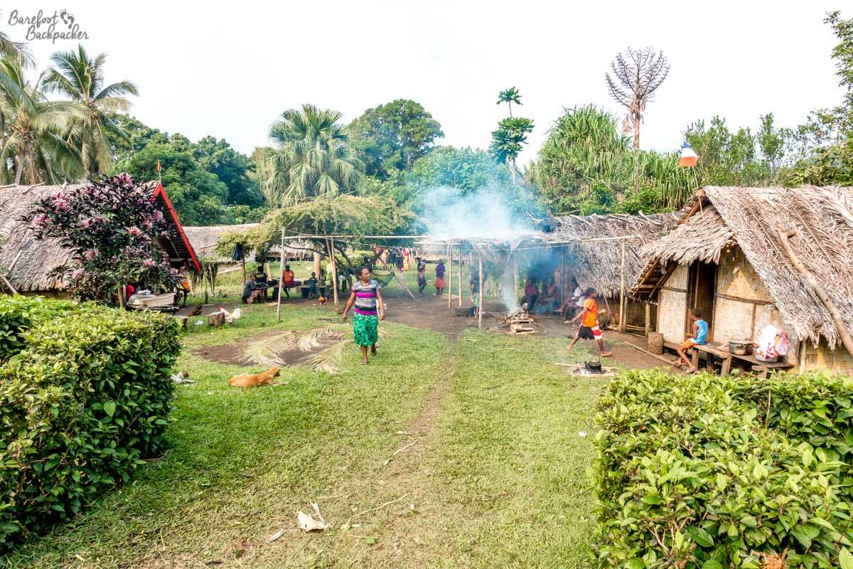
A typical village on the trails in Malekula – this is Kalele where we spent the night.
The villages all tended to look the same; wooden huts with thatched palm leaf roofs, with woven leaf interiors. A series of wooden benches near a central tree that were used mainly by the womenfolk to watch their children from. A church. A separate (gender-neutral, natch) toilet cabin situated 40-50 metres away from the main village centre, often slightly down a hill – it goes without saying facilities are ‘basic’. And cockerels/chickens. Lots of them. Which leads to another observation that you probably all know but I, as an urbanite, did not.
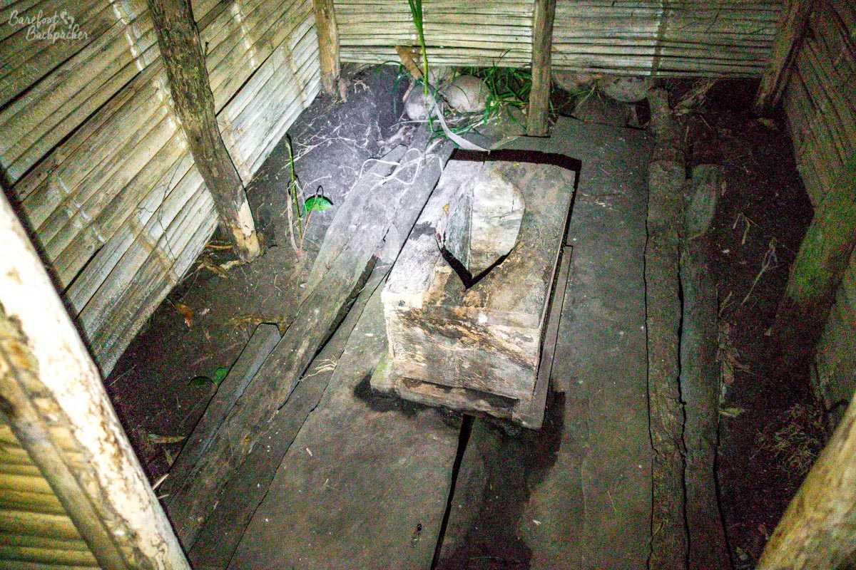
The toilet in Kalele village. It did its job. As did I.
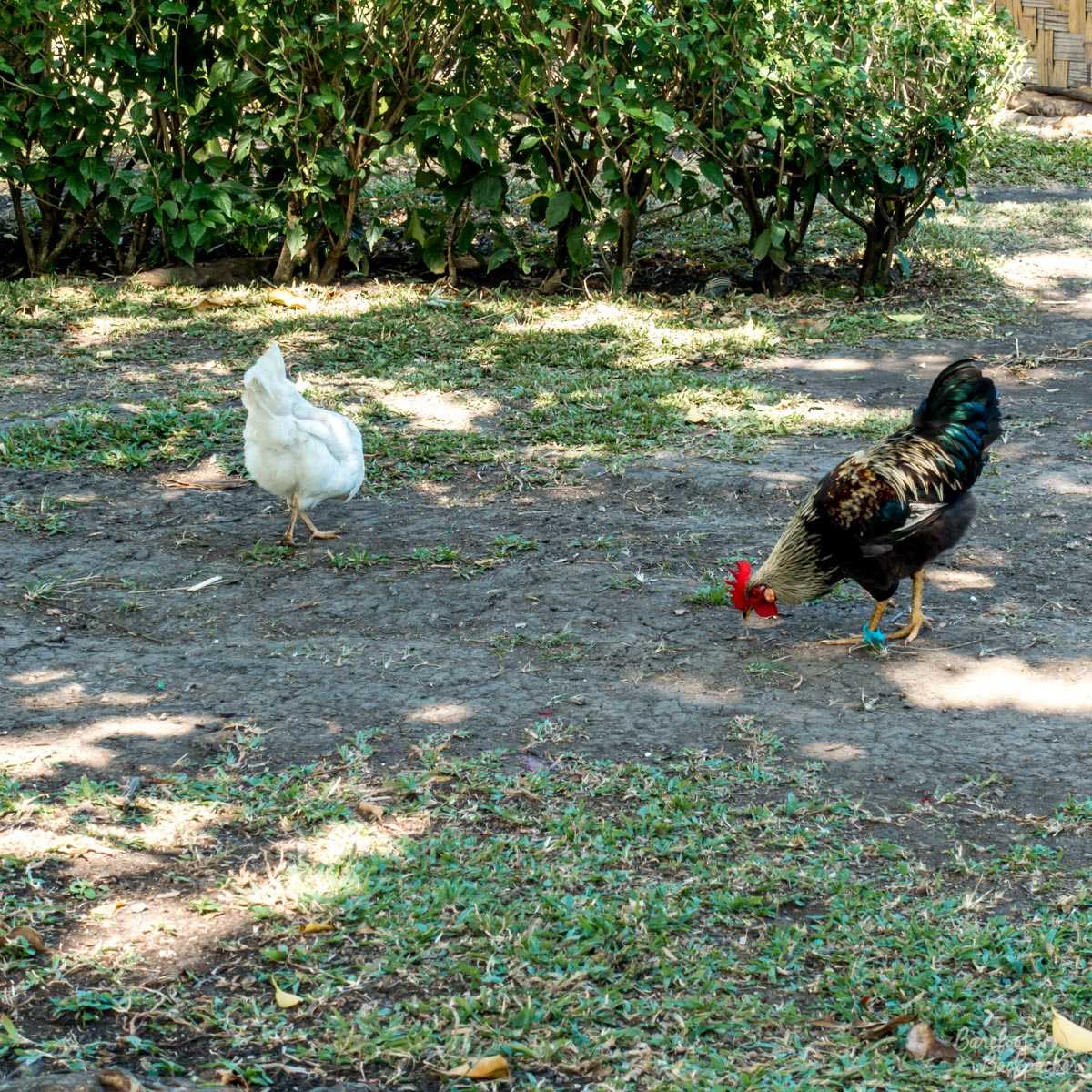
Cockerel and Hen. Ubiquitous in village life. Annoying.
It may be true in the movies, but … cockerels do not crow with the dawn. You cannot use them to wake up with. As far as I can tell, they crow for whatever reason they like, whenever they like. 3pm? Cock-a-doodle-do. 3am? Cock-a-freaking-doodle-do. They cock the way dogs bark, seemingly often through boredom or because another cock is crowing, or they think they may have heard an interesting noise maybe 50km away and want to check. Which is nice when you’re lying on a mattress in one of the huts at 3am, having a nice dream about earthquakes or something, and there’s a cockerel directly outside your hut who decides that he’s had enough rest and is now bored.
Each village also has its selection of dogs, which seem to serve more as motion-activated alarms rather than actual guard dogs; we walked through a few villages to the sound of dogs barking at us but not seemingly inclined to do anything about it. Except the ones that chased the truck as we drove through, in generic cartoon tropery. In fact, on the Big Nambas Trek, the guide’s dog followed us all the way for seemingly no reason other than it could; it only got in the way a couple of times.
Some of the villages offer water, others don’t. In one village I had the following conversation:
“You have a tap?”
“Yes.”
“Is the water from it safe to drink?”
“Well, we drink it.” You can almost visualise the dismissive shrug that that comment deserves to be accompanied with.
It turns out the water comes from one of the local mountain streams nearby. Given that I’d filled my water bottle earlier that day from a series of cascades in one of those mountain streams, it seemed fairly safe to drink from the tap too. If memory serves, and I’m sure someone will correct me if I’m wrong, two of the main things to remember from drinking from streams are:
1) Drink water that’s rushing, not water that’s standing still or barely flowing.
2) Always drink upstream of cows.
Note that we passed quite a few cows en route. And, perhaps unsurprisingly, the main food in the area is either steak or chicken.
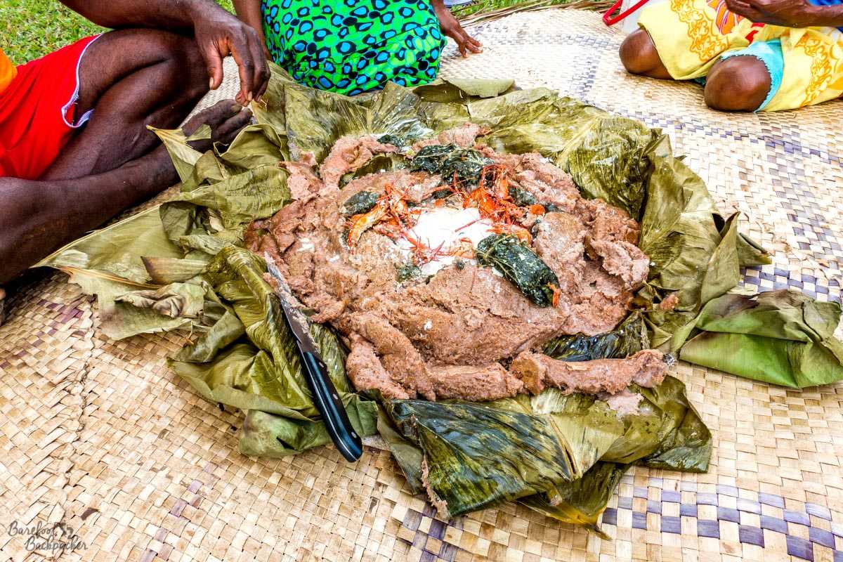
Lunch on day one of the Dog’s Head Trek. Laplap wild yam, coconut milk, and huge prawns.
Lunch and evening meal were provided on both days of the Dog’s Head Trek (Breakfast was provided on the 2nd day of Dog’s Head and on the day of the Big Nambas Trek, and consisted mainly of eggs and bread); on the first day lunch was a lovely large spread of wild yam laplap with coconut milk, served with huge freshly-caught prawns which live in the mountain streams all over Malekula, whilst evening meal was chicken and boiled yam. The second day’s lunch was some kind of mince with more yam, whilst the evening meal was steak, onions, and rice. All home-cooked and fresh (on the first day, the evening meal was being made next to the hut where we were sleeping, so we could even see it being made); as an aside, in all my time in Malekula, I never saw a freezer.
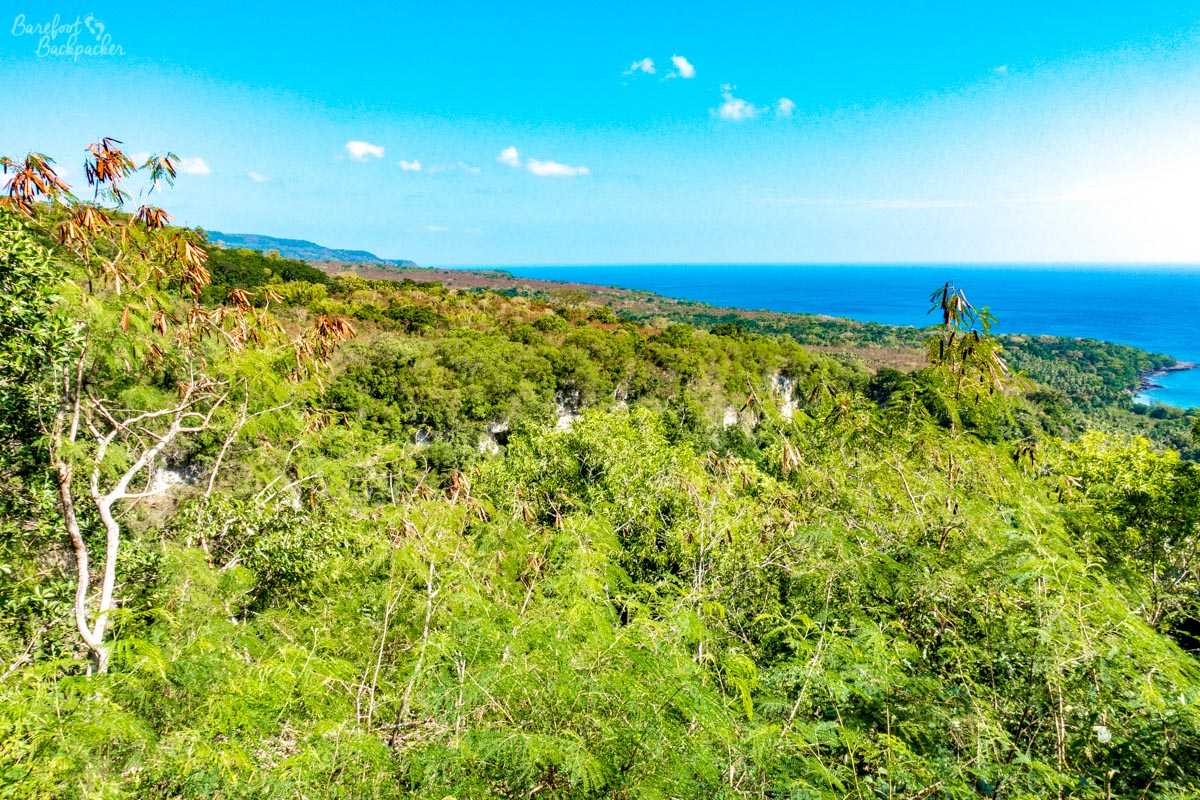
The view over Malua Bay from the top of the final hill on the Dog’s Head Trail.
The trail almost ends anticlimactically on a farm road for 4km after the last village, where you get the first views of the West Coast, until the last km or two which dive off into the forest and down the steepest hill of all, before coming out in the village of Malua Bay, where there is a much-welcomed village water tap, and an empty beach. I don’t really like hiking down steep hills – something something balance issues – but my comment of “but there’s a perfectly good farm road we’ve just left” was laughed at by the guide. For some reason, our overnight stop that night was in the village of Wilack, some 30km further down the road (and then 15km back up to where the Big Nambas trek started the next day); given the state of the road this journey took an hour. Wilack is also notable for being at the literal end of the road – a huge dead-end with a very pretty black-sand beach to watch the sunset from.
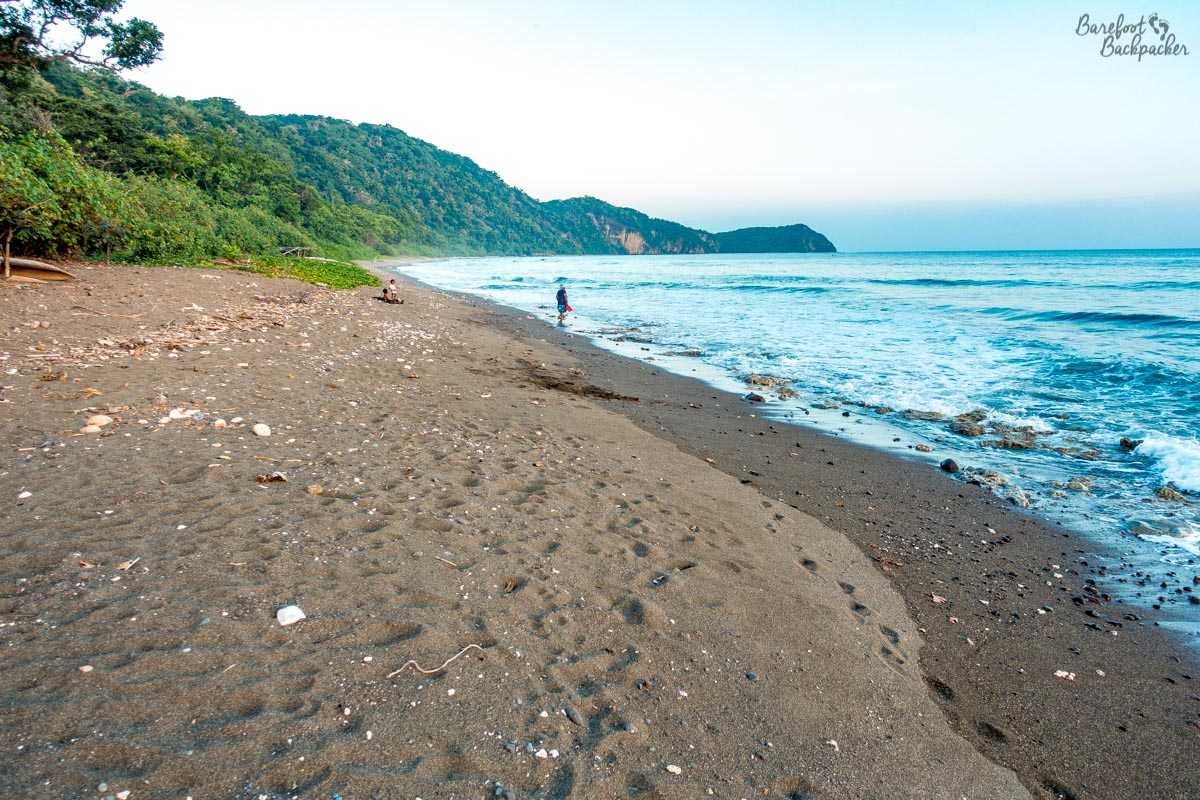
The black sand beach at Wilack.
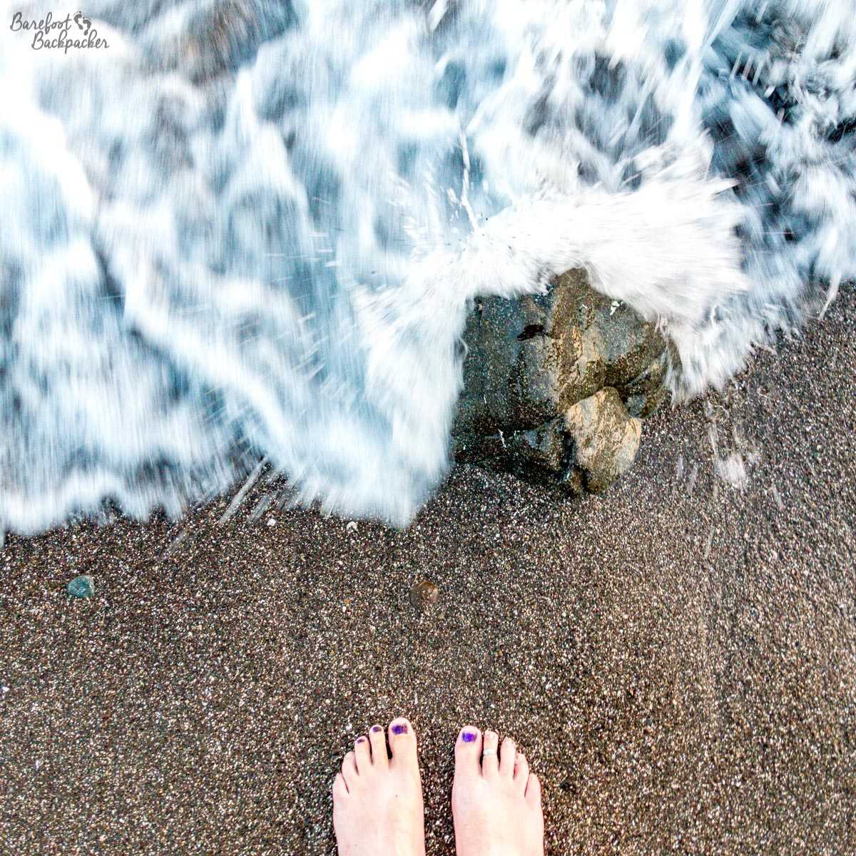
After a two-day hike through the jungle, I so needed some refreshing barefoot-in-the-sea time :).
To give you a sense of the difference in the two days of the Dog’s Head trek; the first day we left a little before midday, and arrived at our destination around 2.40pm. On the second day we started out just before 8am and finished at around 2pm. My pedometer suggested I’d done about 31,500 steps over the two days which under normal circumstances would work out at about 28.5km but of course I imagine my steps were quite shorter than normal up and down those hills. We were debating about whether it’d be possible to do the whole trek in one day; probably, if you’re a ball of energy and muscle like Seanna Fallon and were carrying a small backpack that contained purely water.
The day before the Dog’s Head Trek, I’d done a small one on my own that, it turns out, could have been done at the end of the Big Nambas Trek, tho I’m not sure I’d have fancied it at that point. About 12km from Lakotoro, directly across the ‘neck’ of the dog, is the small village of Losinwei; there’s a trail about 4km long that goes to a substantial waterfall.
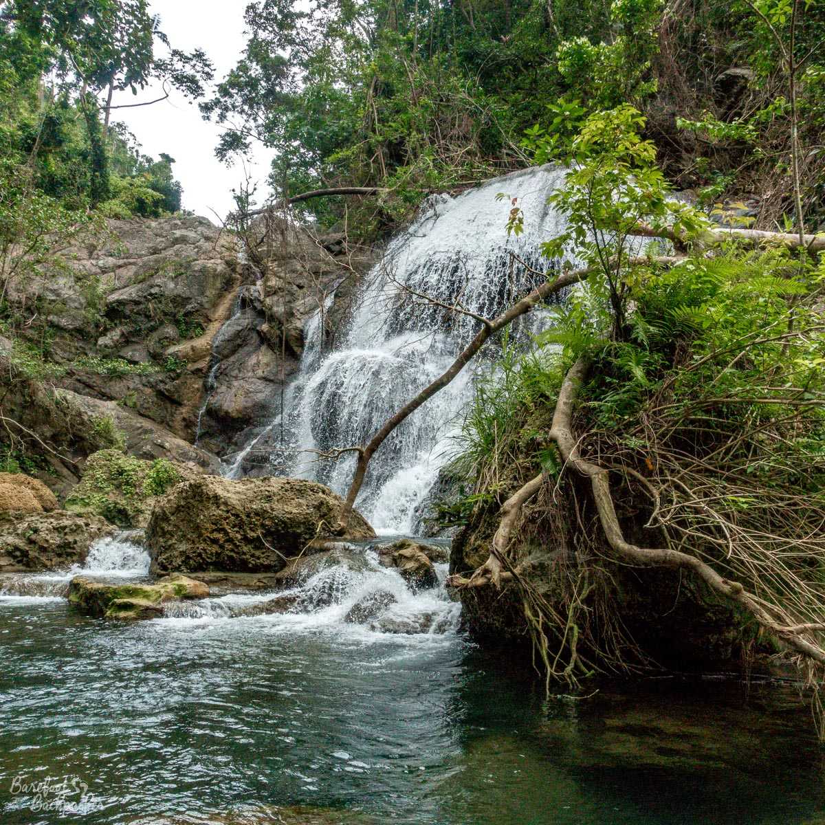
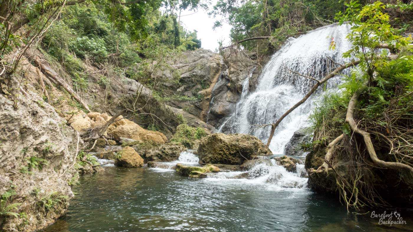
The waterfall at Losinwei. It’s not overly long, but it is quite wide and gushing.
On this trek I was guided by the chap who runs the Drum Drum Bungalows in Losinwei; he claims to be a very spritely 80 years old and this was evident by the way he careered along the trail to the waterfall leaving everything else in his wake. Like the other guides he seemed to do this completely without needing water (I probably took two litres in the two hours we spent walking there and back, including a long draught from the stream at the waterfall itself); unlike the other guides though he forewent the flip-flops and did the trail barefoot. Even *I* was wearing walking shoes, though that was more because I wasn’t sure what the trail would be like – turns out mainly dead leaf, twig, tree root, and the occasional stone, so maybe next time 😉
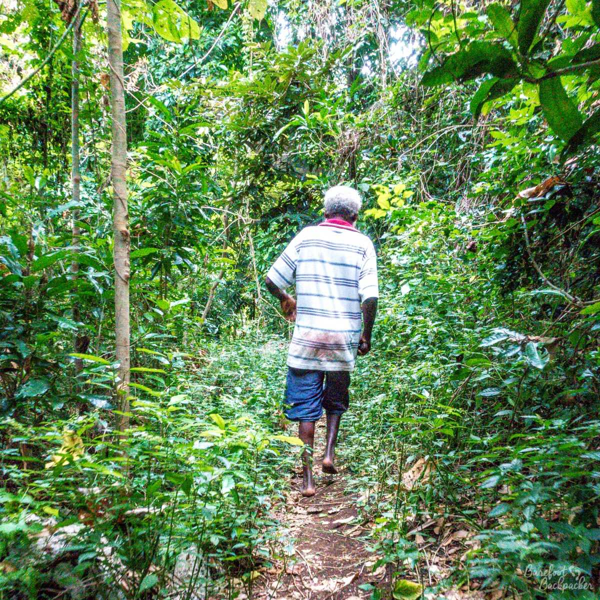
The trail to Losinwei. Barefoot guide pictured He didn’t seem at all fazed #LifeGoals
This trail was a good introduction to the other, longer, treks in the area. It was very foresty, very narrow, and very undulating; the climbs and descents weren’t long or large, but there were a lot of them. The trail also crossed the river a few times, once or twice through water that was at least knee-deep.
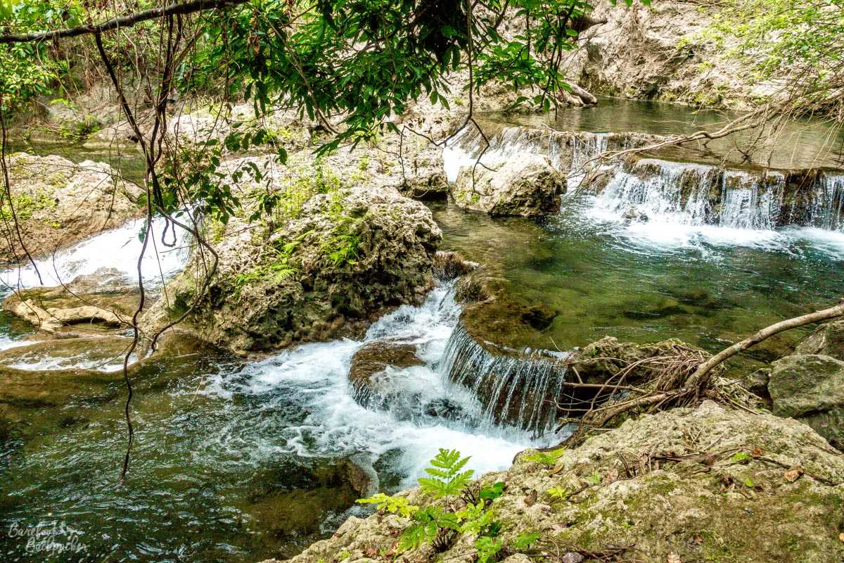
Some of the cascades on the river that flows from the waterfall to the sea.
Although along the trail the water passed through several cascades which are quite pretty, it’s the waterfall at the end that people go to see. It’s slightly around a bend in the river which means again either wading through a quite deep natural pool, or clambering over coral and rocks to see properly. In front of the falls is a good pool for swimming in; I didn’t partake, obviously, but my guide did. I just sat on a tree root, dipped my feet in the cool pool, and reflected on nature. It was a similar experience to the ones I’d visited at the end of my trip to Togo and Ghana a few years back, but I think this walk was better than either.
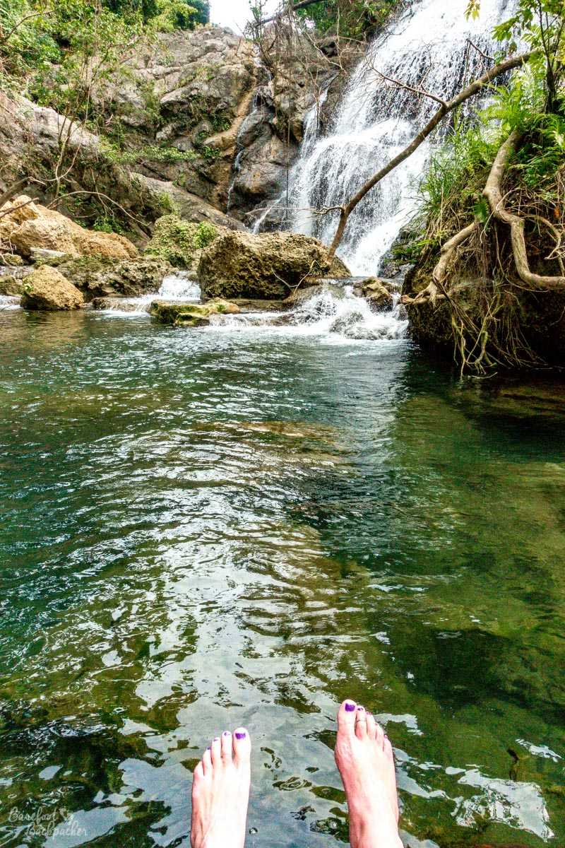
This was as close as I got to the waterfall, because I can’t swim … In front of it is a deep pool. My guide swum. He found it cool but refreshing.
After lunch (fish stew and rice), I walked the 12km back to Lakotoro, along the road I’d been driven along that morning. The few locals I passed were slightly surprised, but still appreciative.
(* – Jojo was a liar, by the way. The hill continued for a further 5 or 6 minutes of hard slog.)
If you’re interested in knowing more about Malekula, I’ve written a couple of other posts on it:
* A general overview of the island, covering transport, food, accommodation, daily life etc, and
* The culture and history of the island, including details on cannibalism and the ‘Nambas’ tribes.
To compare the hiking here with other Vanuatan islands:
* Hiking on Ambrym, visiting two lively volcanoes and a huge ash plain.
* Hiking on Gaua, including a volcano, another jungle trek, and a larger waterfall.
For a more general overview, I recorded an entire podcast on Vanuatu. Give it a listen!
—–
Like this post? Pin it!!
Date visited: 24-27 July 2018.
Trips were booked through Malampa Tourist Board, but I paid for them myself so there!