On my first visit to Western Australia, I took a day trip from Fremantle to Rottnest Island (on my second visit, we took other daytrips to places on the mainland). It had been a place recommended to me by a couple of friends, as being a good place to visit. In addition, I’ve always liked islands; I find their size and self-contained nature to be relaxing and easy to manage. I was also taken with the idea of seeing one of the mythical and unique creatures that is said to inhabit the island – the quokka. My abilities at spotting wildlife are notoriously bad; pretty much even something the size of an elephant has to be directly in the road before I’d spot it.
I’d wanted to maximise my time on the island (in total I’d have about 8 hours), so made sure I caught an early ferry from the ferryport in Fremantle, a short but slightly awkward walk from the hostel I was staying at. Though it was still dark when I left, the sun had come up by the time we left port and it looked like being a sunny and bright day.
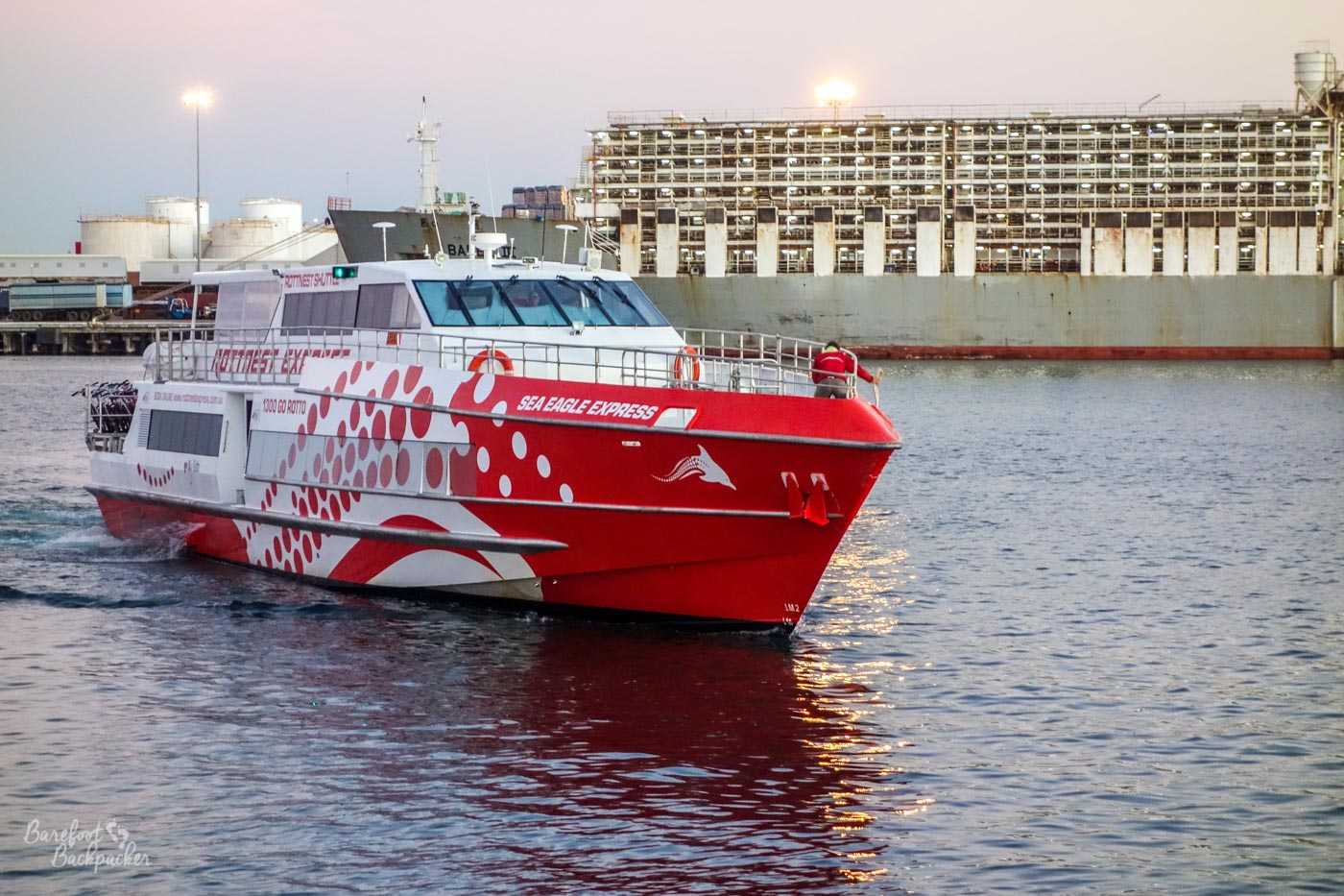
The ferryboat in Fremantle harbour.
Rottnest Island is around 20km off the coast of Australia. At 19km² it’s approximately the same size as the London Borough of Hackney, although at 11km by 4½km it’s a very different shape. It’s touted as the place where Western Australia goes to relax – there’s no cars, unique wildlife, picturesque scenery, and a couple of shops. A propos of anything else, it’s also where teenagers go to … be teenagers. Evidently the locals are thinking beyond the back of the bikesheds.
On this day, though, the biggest activity I suspected that would be happening would be cycling – on the ferry over, the desk below me was full to the brim with them. Despite being car-free, Rottnest Island does have a number of trails and tarmac roads for emergency and service vehicles, which are almost perfect for bicycles. You know me well enough by now to know I’d be walking.
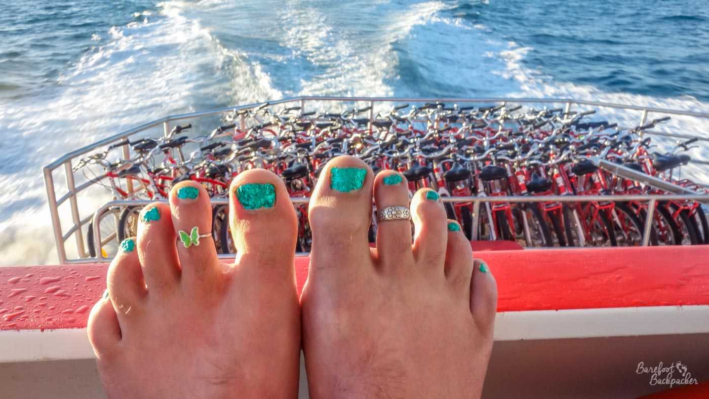
Bicycles or bare feet, which would you choose? :p
My trip around the island took a mostly thin loop to the Westernmost point, at Cathedral Rocks and Cape Vlamingh. This is also the longest of the routes as the ferries dock up at the eastern end. The cyclists who kept passing me on the roads were impressed with my determination and scope; indeed I was often walking around more of the island than they were cycling. One advantage with my walking though is that, once I got away from the busy port area, I had the roads more-or-less to myself; apart from the cyclists I saw very few other people, save at the more touristy lookout spots, and this despite the ferry over being quite full.
There is a bus that runs around the island in a large loop, with designated spots at various interesting points, but I think I only saw it pass me by once, maybe twice? On my amble back to port I contemplated waiting for it but it was a really warm day with no shade so I figured I’d be better off walking.
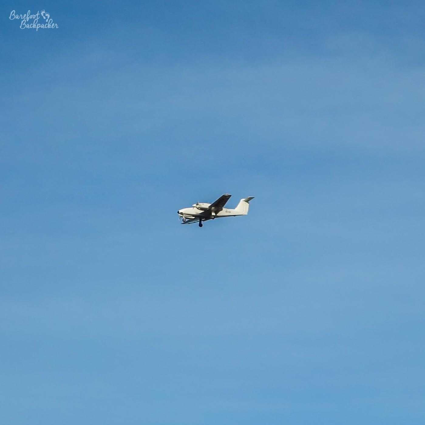
A small plane, presumably taking off from or landing at the airstrip to the south of the lakes.
A more impressive way to see the island though would be by private plane – the island has an airstrip and I did see a couple of small planes passing overhead. But I’m a budget backpacker and that’s so beyond my remit.
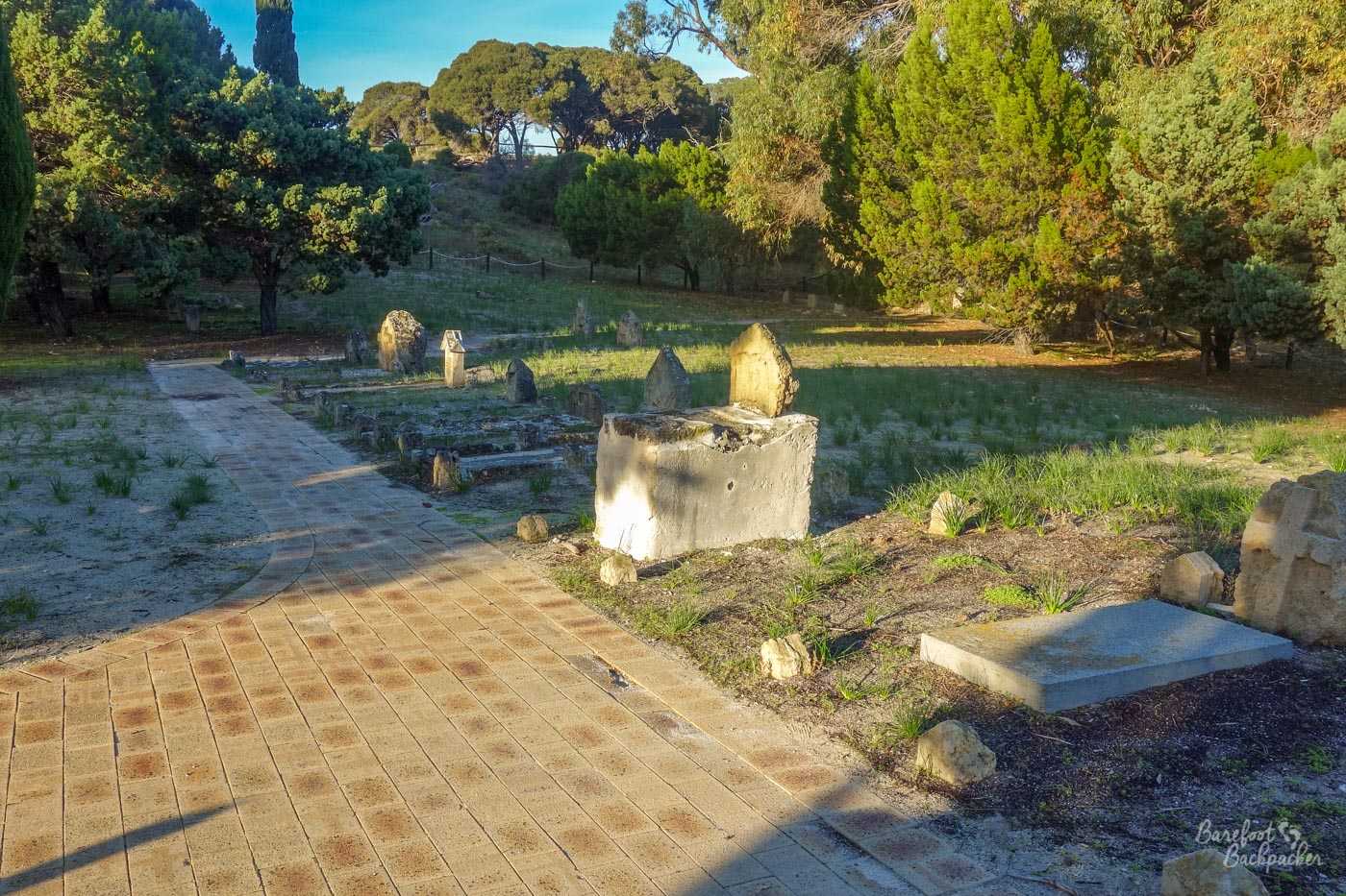
It’s not a big graveyard at all …
The first place I stopped at wasn’t far from the port area, in fact; it was the graveyard. It’s not that large, but it’s nice to stand amongst the trees in the shade and read the gravestones – I’ve always liked graveyards as they’re a great way to access the past of everyday people, as it was written at the time. In this particular graveyard, it’s believed thirteen people are laid to rest, although the names are only known of seven of them; that five of those seven were under ten years of age at the time of their death suggests that the others are likely to have been newborns, maybe they were never given names.
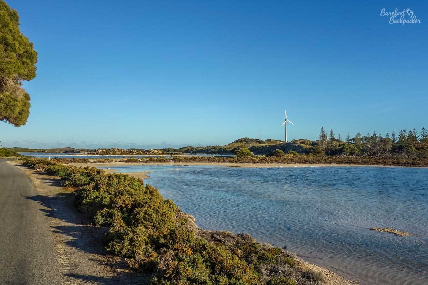
A couple of the salt lakes. Note the wind turbine, by the way – renewable energy is popular here. For a number of self-evident reasons.
From here it was a short walk to a series of lakes. Most of these lakes are shallow salt lakes, originally used by settlers as a means of farming salt, but latterly cater more for passing seabirds; the whole island is designated an “Important Bird Area” by BirdLife International (a global non-governmental organisation created to try to preserve and protect bird habitats and species). It’s estimated that around 10% of the total area of Rottnest Island is covered by these salt lakes. Some even have beaches. I did not paddle.
One of the real beaches on Rottnest Island. I don’t even remember paddling here either!
Just beyond the lakes lies Oliver’s Battery. This has nothing to do with me; I’ve not developed a side-line in renewable energy (there’s a couple of wind turbines nearby, but again, not my scene, despite how much my moto-taxi driver in Ghana several months later believed it was). Rather, this is one of several points on the higher land on the island where, during World War Two, large naval guns were installed as a first line of protection against any enemy fleet trying to attack Perth and Fremantle.
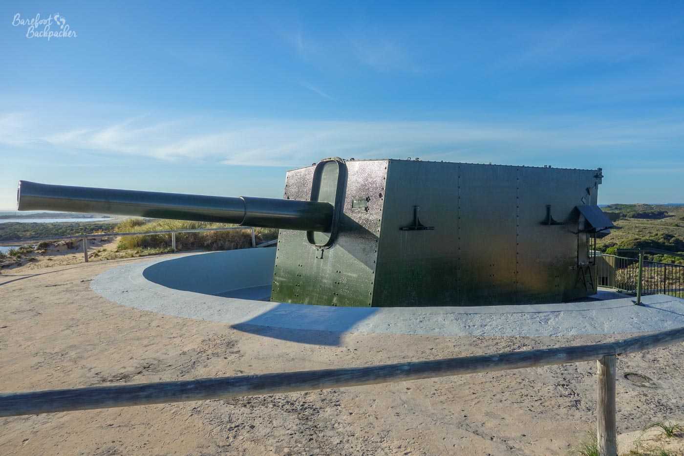
My, that’s a big gun.
The guns on Oliver’s Battery were 9.2 inch calibre. This indicates, not the size of the gun, but the size of the barrel. In diameter. They’re therefore pretty hefty things – indeed this type of gun weighs on average 27 tons, and the weigh of the shells pushes 170kg. One of the reasons they’re still here is because the cost of removing them from the island was greater than their scrap value.
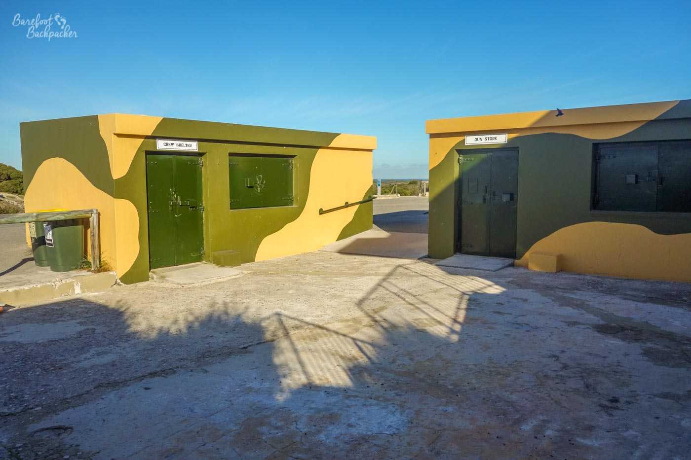
The storage, maintenance, and waiting buildings at the battery. The camo paint seems … superfluous, somehow?
It’s possible to do a full exploration of the guns, the tunnels beneath, and the restored railway used to transport armaments to the battery. Obviously I didn’t do this because I’m a budget tourist, not a travel blogger. Instead I stood on the railway line, looked at the gun, took a couple of pictures, and thought ‘bugger me, it’s getting warm’.
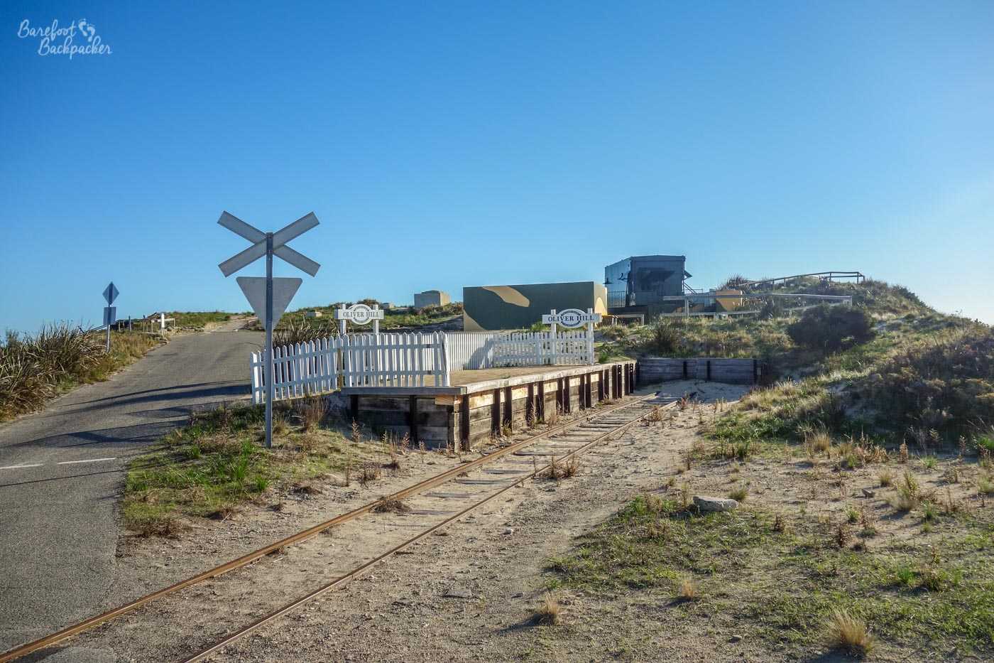
Smallest railway station I’ve ever seen.
Near the battery is Wadjemup Lighthouse, the fourth oldest lighthouse in Australia still in operation, and a late 19th century replacement for a much earlier one that’s believed to have been Australia’s first stone lighthouse. This shows the relative importance of the ports of Fremantle and Perth, as well as highlighting the treachery of the coast in the area; indeed at least thirteen ships have been wrecked just off the island.
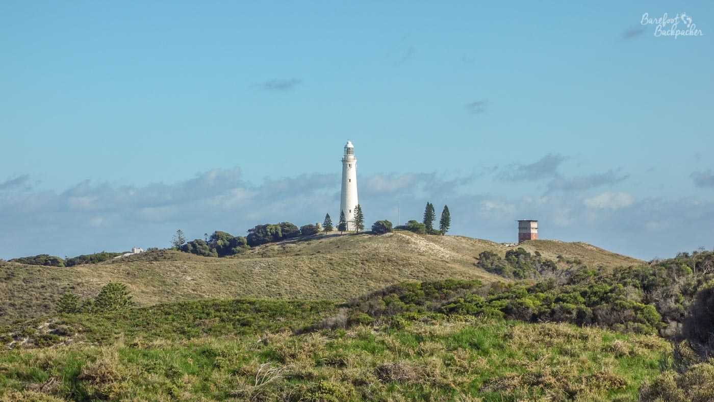
Wadjemup lighthouse from a distance
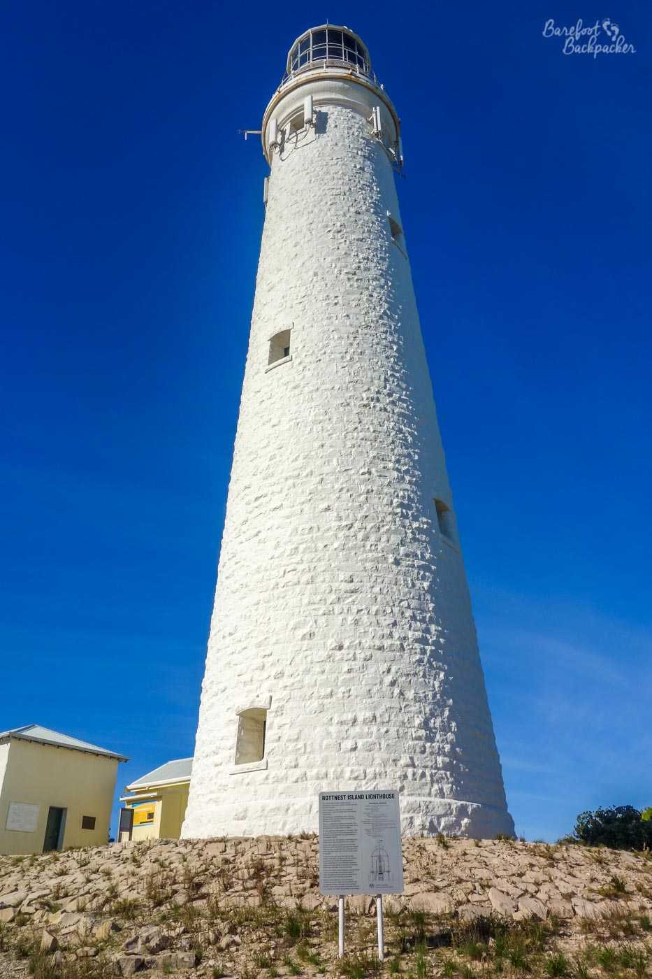
Close-up shot of Wadjemup lighthouse
Wadjemup is the original name for the island; it’s a word in the local Aboriginal language (Noongar) that means ‘place over the water where the spirits are’. By ‘spirits’, they mean the island is used as a kind of ‘departure lounge’ for the afterlife – your spirit goes there after you die, to await the whale that takes you onward to the afterlife, a place called Kooranup that lies deep in the Indian Ocean to the far west.
Interestingly, the island was only separated from the mainland following flooding as a result of the end of the last ice age, some 12,000 years ago. This means that the local Aboriginal people have folk memory and oral history of that event occurring; prior to the split the area that was later to become the island was an important meeting and spiritual place, but after the flood they never crossed the sea to return to it, so it took on even more of those spiritual connotations.
The view from a lookout point close to West End.
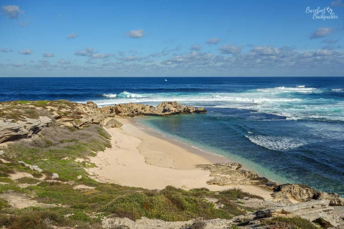
The spot where the whale picks up the souls for the afterlife is “West End”, also known as Cape Vlamingh. There’s quite a lot of rocks here (with names like Cathedral Rocks and, er, Crocodile Rock), and there’s a couple of boardwalks over them to a viewing platform. It’s a great place to stand and watch the sea – a spot for seal- and bird-watching more than swimming (although there is a small beach nearby, a little tricky to clamber down to). It’s also quite amazing to think that the next point of land to the west is Coffee Bay, on the coast of Eastern Cape, South Africa.
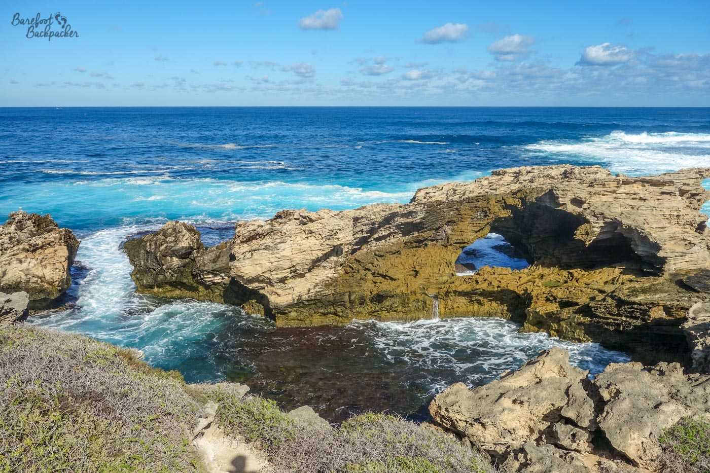
Example of some of the rock formations around West End
I say the Aboriginal people never returned to it – it’s more true to say they never returned to it *willingly* – it may come as no surprise to anyone that when they Europeans turned up, they took all the land for themselves, and thought ‘oh, cool, a small island off the coast, that’d make a great prison and labour camp’, conveniently sited to remove troublesome natives who were a bit peeved that their land had been pinched away from them. We Europeans are good at that sort of thing.
Unsurprisingly therefore, the common name for the island -‘Rottnest’ – comes from colonial-speak. In fact it’s a Dutch word; one of the early explorers in the area was Willem de Vlamingh, a noted Dutch sailor who was believed to the first European to sail up the Swan River from what later became Perth. It need not concern you what he was looking for up the Swan River, but fortunately he didn’t find any. The word Rottnest comes from the Dutch “‘t Eylandt ‘t Rottenest”, which literally translates as “The Island of the Rats’ Nest”. He believed the island was populated by giant rats.
Now, this isn’t a reference to the old army song ‘The Quartermaster’s Store’, invoking tales of ‘rats, rats, rats as big as cats’ due to poor eyesight. Rather, it’s a case of misallocation of an animal never previously encountered by Europeans. Reader, what he saw was not a rat. Not even the same species. Although in fairness, they are about the size of a cat.
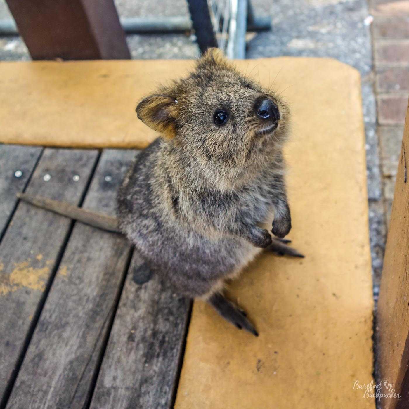
Does anyone need an Emergency Quokka?
Meet the quokka. A small nocturnal and herbivorous marsupial, distantly related to the wallaby and kangaroo, and one of the rare Australian native species whose goal is not to try to injure you. Indeed, quite the opposite; they seem to quite like human interaction and, as they’re often said to appear to be the ‘happiest animal on earth’, humans are only too keen on returning the favour. In fact, the file name on my hard drive of the above image is ’emergency quokka.jpg’ – I tend to send it to people when they’re feeling low, and it seems to work. One of the problems that this type of human interaction with the quokka population has caused on Rottnest specifically though is a tendency for humans to feed the quokkas, with inappropriate foods that makes them ill. They are also banned from the shops on the island.
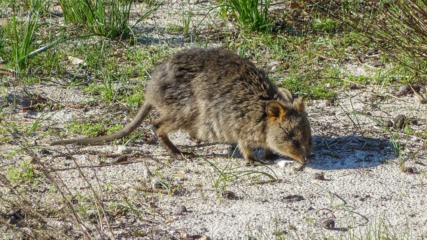
A quokka in its more natural environment, poking around in the grasses in the centre of the island.
Although once numerous across a wide area of Western Australia, human encroachment has reduced their numbers and habitat to small enclaves of the mainland and a couple of the islands off the coast. Rottnest sees the largest population, estimated at around 10,000 individuals.
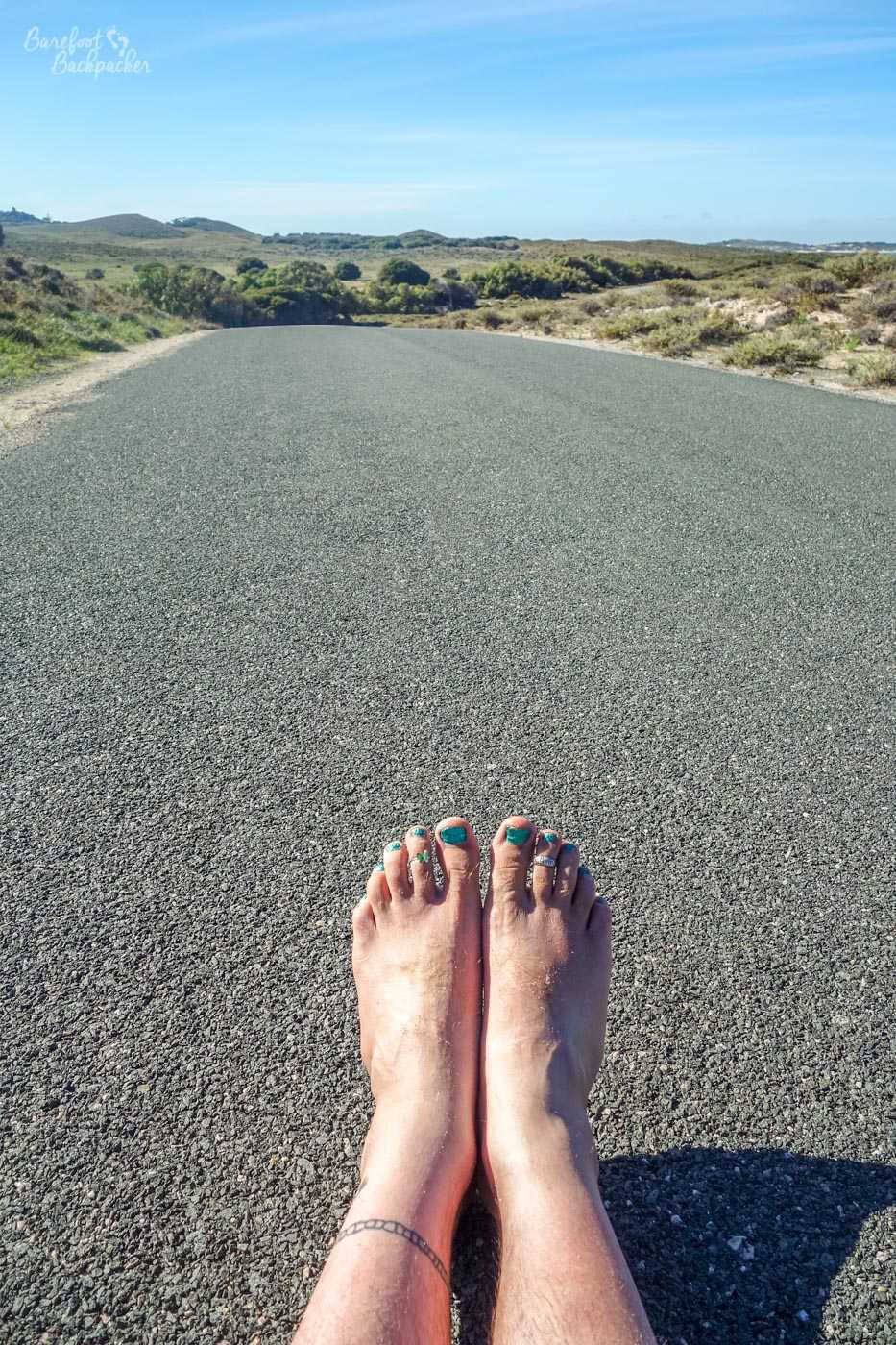
An empty road on Rottnest Island; just me, my bare feet, and a lot of time to think.
My walk back to the port was more of the same – warm tarmac roads weaving their quiet way past rocky shorelines under blue skies; I felt very much alone to my thoughts. In general the island reminded me a little of a bigger version of the Île d’Aix, near La Rochelle in France, but parts of it also made me think of Scotland, with the forest, country lanes, and general remoteness. It was only when I came back towards the salt lakes and the small port area with its shops and bustle that I was reminded how accessible and touristy it was.
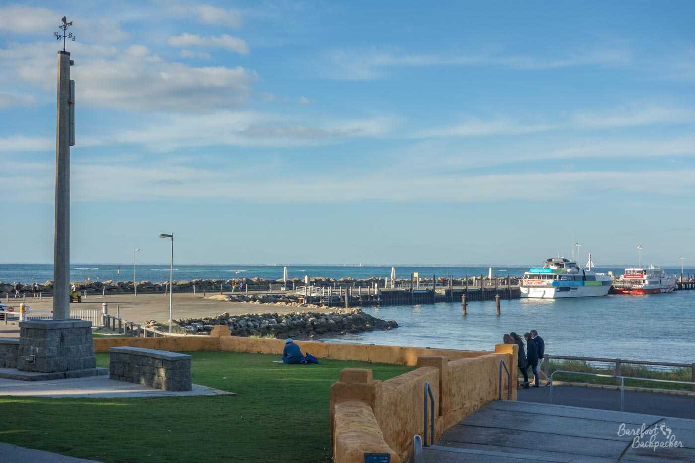
Rottnest Island’s port area.
——
Visited: Friday 30 May 2014