Linn Park lies just south of Cathcart railway station, on the edge of Glasgow Southside. It’s about 80 hectares, and is the second largest park entirely (or at least mostly) within the Glasgow city area – the largest is Pollok Country Park a little to the west. Glasgow is perhaps a surprisingly green city – indeed an article in The Guardian newspaper suggested that at 32%, Glasgow had the second most green space of any city in the UK, after Edinburgh, but this was specifically city rather than urban area and the UK has an overly-specific definition of city. Linn Park itself was given to the city of Glasgow in 1919.
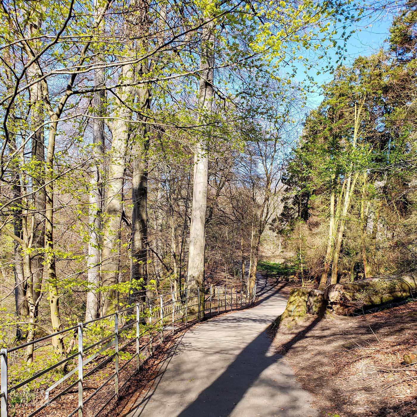
A footpath in Linn Park.
As far as I can make out, the name Cathcart comes from the leading landowner family in the area in times gone by; indeed there is still an Earl Cathcart in existence although they appear to have decamped to Norfolk. Their ancestral home was Cathcart Castle, now a series of nondescript ruins, barely identifiable, in the general surrounds of Linn Park. Built in the middle of the 15th Century, it was demolished in 1980 because it had lain derelict for many decades and the cost of renovation was too high. It was only a mansion anyway, not a proper castle. Interestingly the information board on site suggests a castle existed here at the time of Robert the Bruce, a century earlier, and was owned by Alan de Cathcart who fought with him. I’ve found no other evidence of it being this old yet. A second mansion, Linn House, was built in the park at the start of the 19th Century but this too ended up decrepit. That’s now multiple housing.
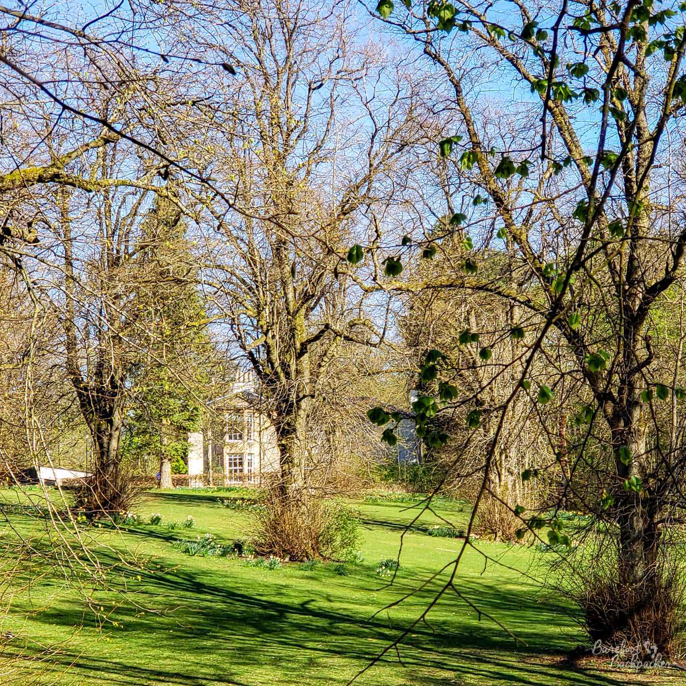
Linn Park, with Linn House in the background.
The family also presumably gives its name to White Cart Water, a small river that runs through southern Glasgow. It rises several miles to the Southeast, somewhere in the hills near East Kilbride, and runs roughly north-west eventually to Paisley and Glasgow Airport, before joining the less-interesting Black Cart Water to form the River Cart which, less than a mile later, flows into the Clyde at Renfrew. This is the same river that runs along the southern edge of Pollok Country Park.
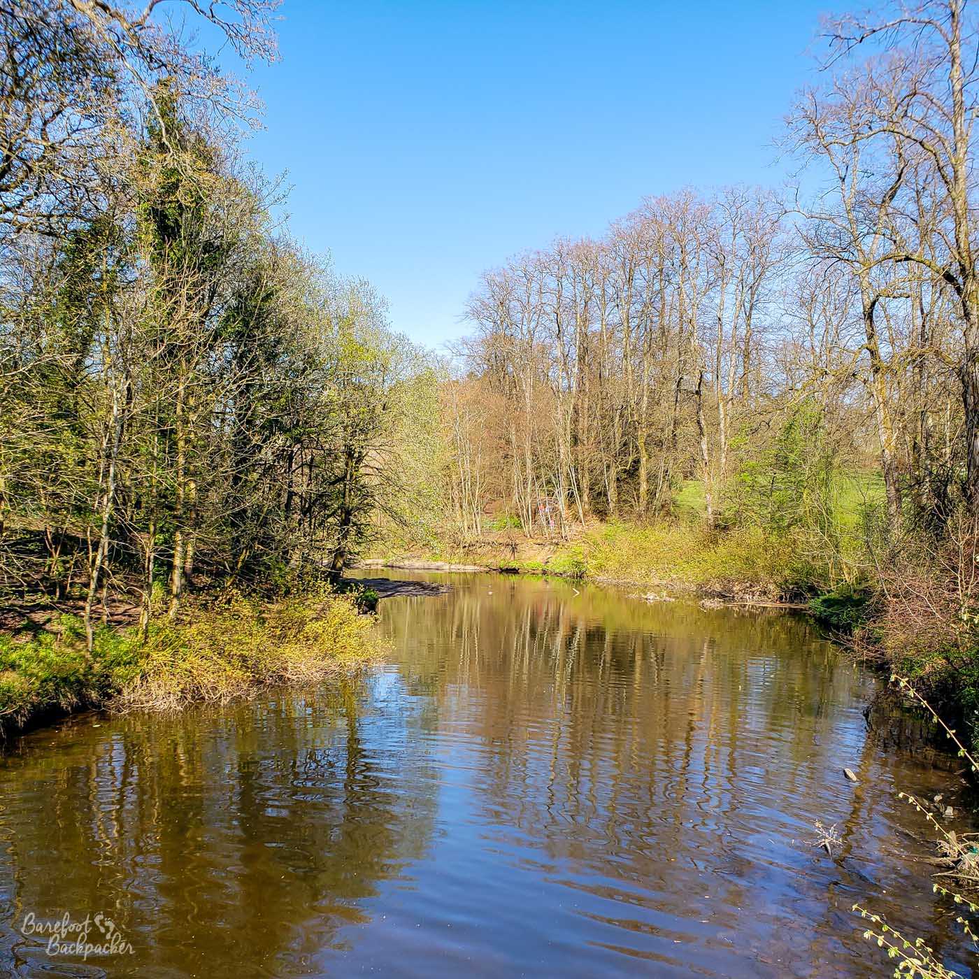
The White Cart Water, looking south from Linn Park’s Ha’penny Bridge.
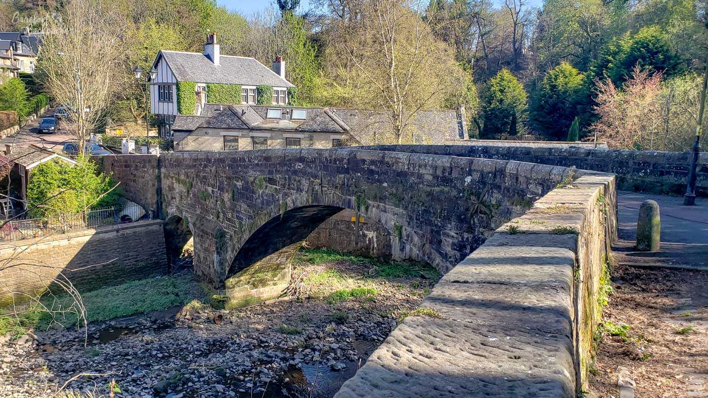
It also flows through Linn Park and there are two notable places en route there. Halfway down the Park is Linn Park Bridge, also known as the White Bridge or the ‘Ha’penny Bridge’, one of many across the world with that epithet. It is, by all accounts, the oldest cast iron bridge in Glasgow (it was built in the early 1800s), and its name comes from its design, and not, as you might otherwise expect, a reference to an early toll. Rather, the sides of the bridge have holes in that resemble pre-Victorian half pennies.
It is a very unusual design.
Slightly further north, downstream, is Snuff Mill Bridge. This lies on the edge of Linn Park, a short walk south of Cathcart station, and is two centuries older than Linn Park Bridge, although it was rebuilt in the 1800s. It’s one of those cute stone bridges and nearby are some of the oldest tenement-style blocks in Glasgow (we’re talking about 18th Century). It’s also the site of an 18th Century mill, originally built to grind grain but soon enough converted to cardboard and snuff. It was demolished at the beginning of the 20th Century, but the name for the bridge stuck.
Snuff Mill Bridge, looking in the direction of Linn Park.
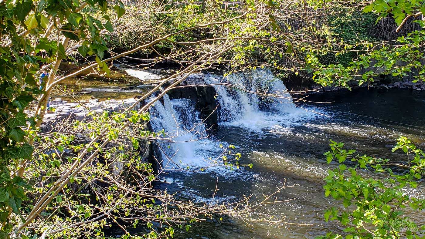
Between the two is Linn Park Waterfalls, not to be confused with Linn Falls in Moray, in the NE of Scotland. When I walked past it for the first time I ended up chatting to a couple of shirtless teenage boys who were salmon-fishing here, which is not a sentence that ends how you’d expect. They’re more like rapids than a full-on waterfall but they are quite cool to stand and watch for a short while – especially if you’ve been walking along a couple of the paths through the woodlands of Linn Park. It’s these waterfalls that give the park its name though; ‘Linn’ being derived from Gallic ‘linne’, meaning a waterfall, pool or ravine.
Part of Linn Waterfalls. The visual opens out further down the path to the left but you can’t see the actual falls as clearly.
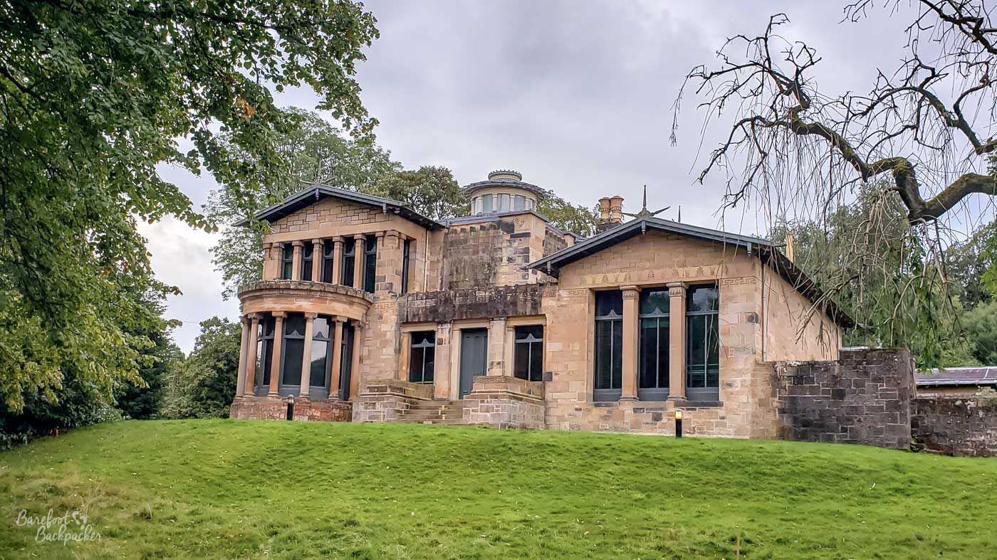
On the opposite side of the White Cart Water is Holmwood House, which featured on a recent £20 note issued by Clydesdale Bank (Scottish money is beyond the scope of this blog). It’s a mid-Victorian middle-class merchant house and as such is a fine example of period architecture. It was designed by Alexander Thomson, a 19th Century Scottish architect who was nicknamed ‘the Greek’ due to his preference for recreating the style of ancient Greece in his plans, and who’s responsible for quite a few of the buildings in central Glasgow. The house, arguably the best example of his work, is pretty much still preserved inside as well as out. It’s now owned by National Trust of Scotland who have vowed to keep it as much as possible to its original decor and design. I’ve never been in it but I have wandered around the outside of it – the cafe had just closed by the time I turned up (not that I have a habit of visiting cafes of old buildings).
The rear of Holmwood House.
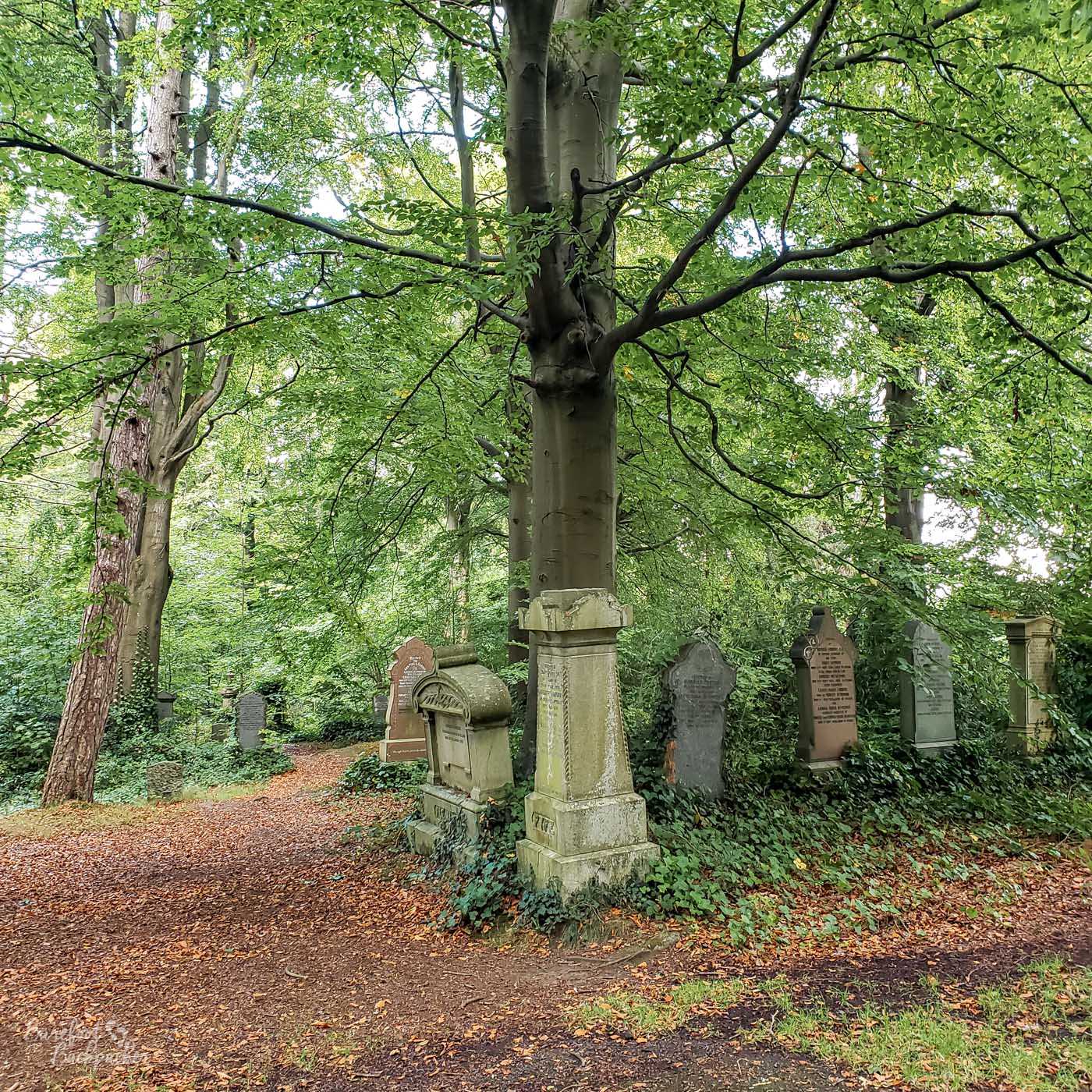
The bulk of the park is made up of undulating woodland walks, a couple of which follow the path of the river, albeit quite a way above. Although not that large a park, it feels like most people stay around the traditional parkland area around the ha’penny bridge and Linn House, where there’s open space and children’s play areas. This means that some of the walks into the woods feel very quiet and empty. On the north side of the park is a golf course, sadly, while to the northwest and the south are two cemeteries. Cathcart cemetery to the north is in two sections, one being full of trees and with a slightly ‘wild’ vibe, the other being a Muslim cemetery that’s very neatly laid out.
A few gravestones in Cathcart Cemetery.
On the northern edge of Linn Park is an area called Court Knowe. This is a grassy hill, surrounded by trees, that would otherwise be un-notable (if a nice place for a walk) where it not for a historical legend. It is said that this is the spot that Mary Queen of Scots stood and looked out from when she was observing the battle of Langside in 1568. A propros of anything else, I’ve stood at that spot and, despite the height, could barely even see Cathcart. I assume there were fewer trees back in the 16th Century.
In actual fact the story is likely untrue, not just for that reason, but because the Cathcarts were on her enemy’s side. It’s believed by historians she’s more likely to have stood on a ridge near what is now Cathkin Park.