Queen’s Parkrun is the edition of Parkrun that takes place in Queen’s Park, in Glasgow’s Southside. It’s one of several hundred Parkruns that take place on Saturday mornings across the world. I talk about what parkrun is elsewhere, but briefly: it’s a time and place where people gather together to run, jog, or walk around a 5km course laid out by volunteers. It’s completely free and there’s no pressure to record a good finish time. Unless you want to of course.
Queen’s Parkrun in particular though is very popular with ‘Parkrun Tourists’. These are people who travel around the country, even the world, with the specific plan to take part in a local Parkrun. Often this is because they’re visiting the area anyway – I’ve done this in places like Northern Ireland and Bedford. However, another reason it’s popular is because many people have a tick-list to visit one Parkrun that begins with each letter of the alphabet (at the time of writing, there are no ‘X’ Parkruns). Queen’s Park is one of only three in the UK beginning with Q. As the others are in Belfast and in a country park on the Hampshire/West Sussex border, Glasgow’s Parkrun is arguably the easiest of them to get to.
I’ve been doing Queen’s Parkrun since I moved up here in August 2021, because it’s the closest to where I live. Additionally, with the above in mind, I thought it made sense to do a description of the course, so you know what to expect.
The start
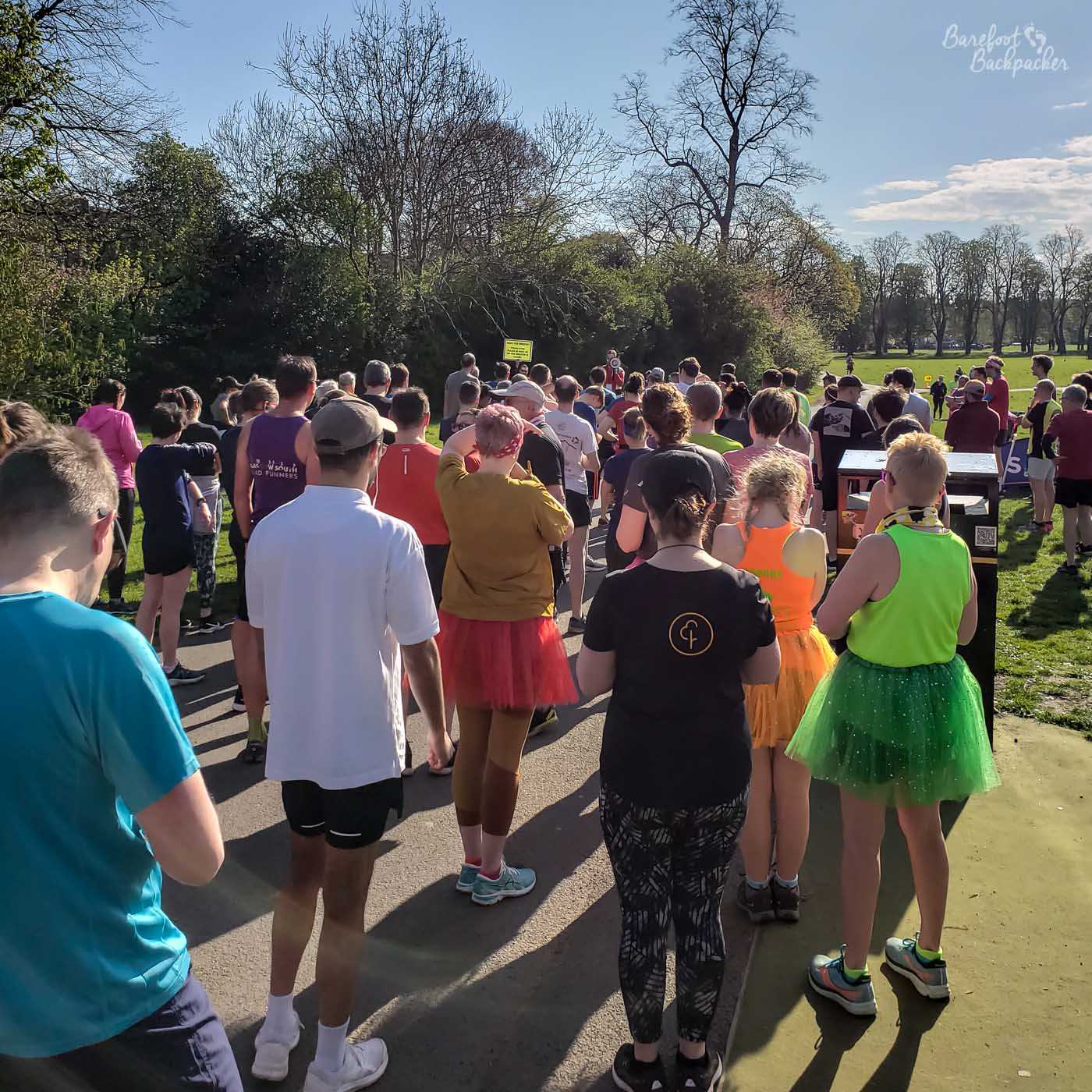
Waiting at the start of Queen’s Parkrun
So, it’s 9.30am, and you’ve made it to the start. Hopefully it’s a nice day, and by nice I mean ‘not raining’. You’re lining up with probably 100-120 other joggers, and the Run Director’s finished their spiel. The countdown is on, and you’re about to go. Ready?
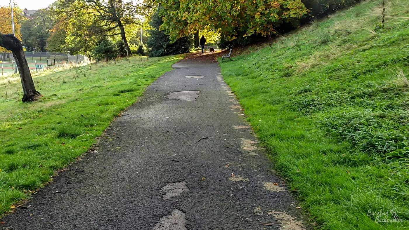
The start of Queen’s Parkrun is pretty simple. The path’s fairly straight for about 230m, there’s a slight kink to the left a little after the start. You’ll also very soon pass the path off to the right where you finish after the end of lap three. As you complete lap one, it’s likely there’ll be a whole gaggle of volunteers here to wish you well before they retreat to the finishing funnel and the post-race admin jobs.
The danger is that you’ll set off too fast; after all this section is completely flat, and wide enough to accommodate all the runners involved. Do not do this, for a trap awaits.
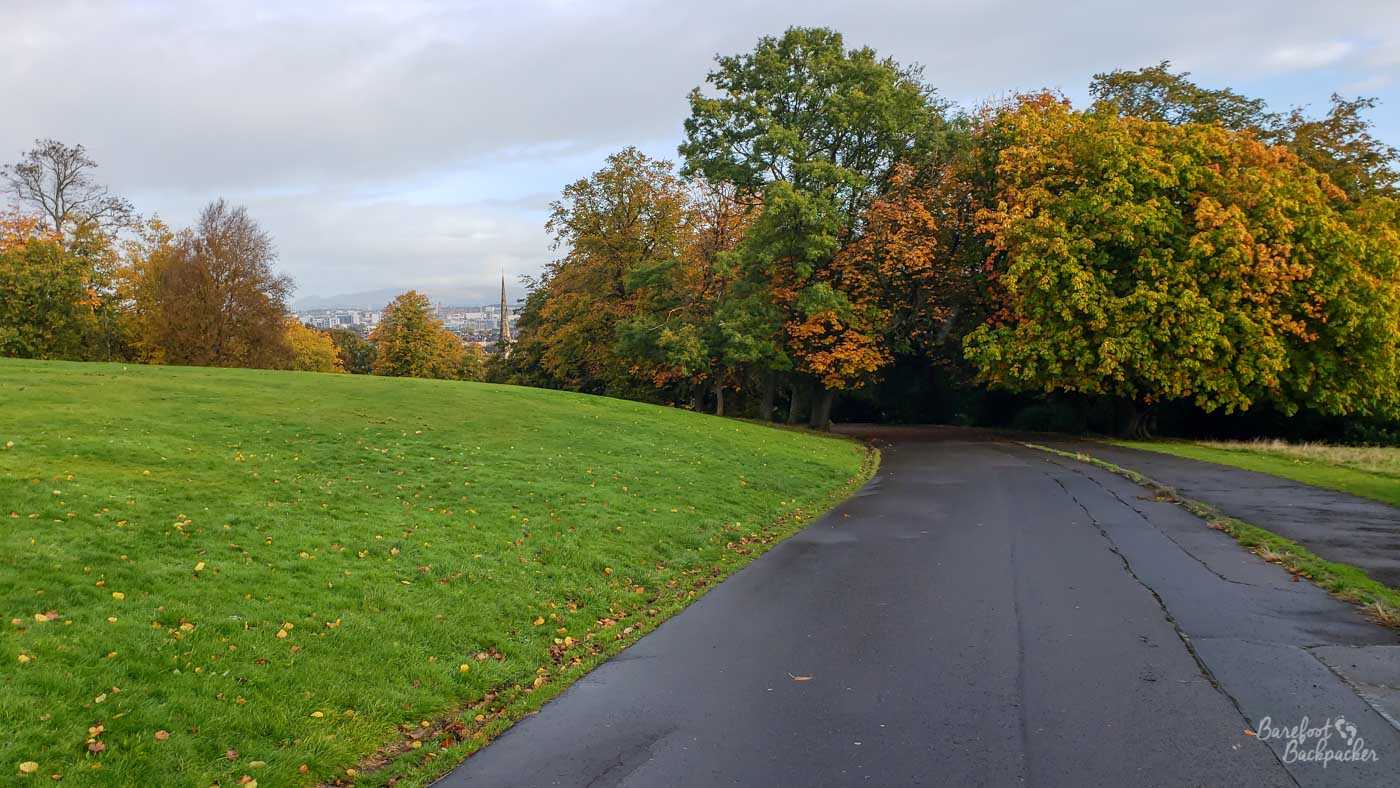
The first hill
At the main gate leading to Victoria Road (a good street for shops, cafes, and pubs that stretches out towards the city centre), the route bends sharply to the right. Be careful at the bend, as after wet weather there tends to be a huge puddle that develops on the right hand side just before the turn.
This part of the route is a very wide road, essentially an extension of Victoria Road itself, lined with trees. In autumn there tends to be a lot of leaf fall, buds, and conkers on this section. Just watch your step if you’re a barefoot runner.
Looking up the first hill from near the Victoria Road gate
The road is only about 160m long, and it’s tempting to keep sprinting. Because you’re still keen and you’ve just started. However there’s about a 10m rise from the gate, and the majority of it in the final third. On the second and third laps you know it’s coming, and it’s not long enough to be a nasty hill. That said, it will still make you breathe a bit heavily; the end is quite short but steep. On that first lap though, it feels a lot harder than it is, especially if you’re sprinting, because you’re not really expecting it.
The road ends at a set of steps leading up. You don’t take these, instead turning sharply to the left.
The woodland path and the second hill
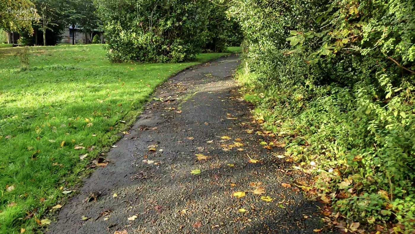
The route then goes on a more-or-less straight and very slightly downhill path for about 120m. Again it’s under the trees, but the danger here is less the buds and more the cement is a bit cracked and potholey. Watch your step.
The woodland path between hills one and two
In addition, this is the narrowest section of the whole course. The bend leading into it gets quite slippery if you cut the corner even slightly, and I have seen people slip over at that bit. By this stage the field has stretched out a bit so the change to narrow path is rarely itself a problem, just be wary if the day you visit, it’s a bigger field taking part than normal. By narrow I mean, its still wide enough for maybe three runners to be side-by-side, but it will feel a bit crowded.
At the end of the straight section are the tennis courts. Here. a path joins from the left and the course bends to the right. It also starts to head uphill. This is, at least according to the general consensus of the regulars, the worst of the three hills. This is a surprise given what comes later. It’s about 170m, and the majority of it is curling to the right. This means you can’t see the end of the incline at most points along it.
You can’t really tell from the pic, but this is not a gentle slope
The path remains narrow, a bit rutted, with trees on the right hand side, Again, barefoot runners be careful, though this is the last of the problematic sections. About halfway up another path crosses, and there’s often a volunteer marshal here to encourage you onward.
The problem with this hill is it’s much steeper than you expect. Add the fact you can’t see an end to it until late on, and this is where you start to wonder if you did the right thing getting up this morning. The total rise is about 13m, but whereas the first hill is concentrated in a short section, this hill is up all the way along.
At last the path slightly straightens, and you can see a marshal directing you to take a sharp turn to the left.
The council access road
Remember the wide road you were on earlier, where you turned left to avoid the steps? This is the continuation of it. It’s very wide, slightly in need of repair in the first 20 or so metres, but otherwise smooth and clear. You hit it not quite at the top of the incline but it sure feels like it. Not long after you turn onto it, there’s a couple of interesting trees on the right. One of them commemorates the Halabja massacre by Saddam Hussein, the other celebrates the 20th anniversary of the UN.
After the trees a small path crosses over. This, to the right, rises sharply up a hill towards the flagpole. Just after the junction the view on the right opens out a bit so you can see up the hill and a road on the top. It makes you think ‘I’m glad I’m not running up there’. However, then you’ll see the runners ahead of you on it channelling their inner Kate Bush. Do not get distracted by this, just keep going forward.
After passing a couple of council buildings on the left, a grassy field slopes away slightly behind a large fence; I assume the fence is there to stop people driving on to it. You might be pleased to hear this is roughly the halfway point of the lap.
This is a council access road, and while the council are aware parkrun exists, you still might see council vehicles moving slowly down it. The marshals are primed for this, but the road is so wide it’s rarely ever a problem – it’s wider than the average city street.
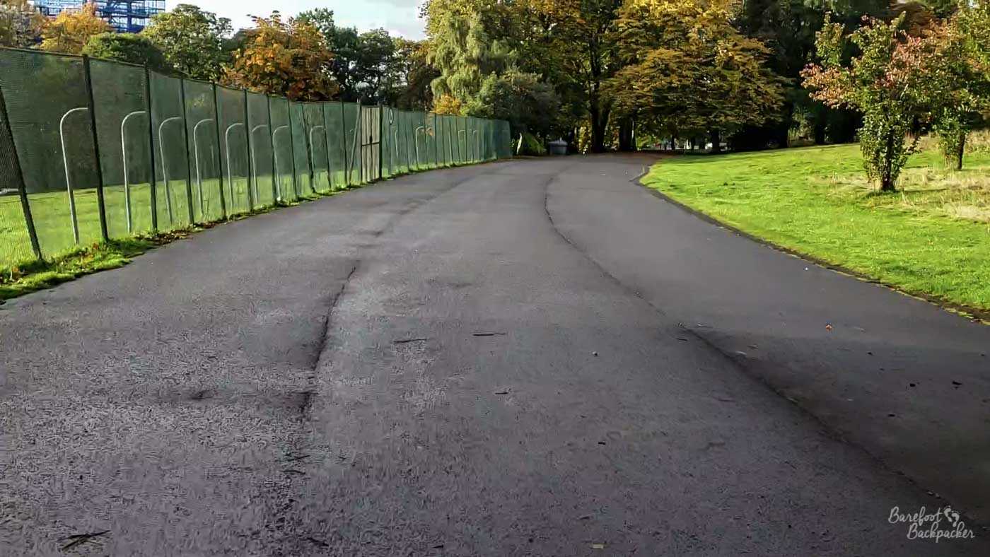
The wide, mostly flat, council access road at the far end of the park
This section is mostly flat – apart from the start it’s very slightly downhill but it’s barely perceptible – and runs for about 280m. Just before the end of this section there are two speed-bumps (be careful), and a path joins from the left. This is the extension of the path you started on, which has run around the edge of the park. Possibly would have been an easier route. Jury’s still out on that.
The end of the section is at a wide junction at another gate of the park (Langside Road). A path leads straight on to a couple of houses, and the gate itself is to the left. However the course takes a sharp right and heads up the hill towards the flagpole.
The third hill
If you told people ‘okay, this Parkrun has a section around 280m that’s entirely uphill’, you’d think that would be the worst part of the course. Weirdly, having got this far round, this hill feels remarkably chill. I think it’s because you can see it. Even if at the start you can’t see the top, the route up is pretty open and it doesn’t feel as ‘intimidating’ as it should. The total rise is not quite 15m, so despite how it looks, it’s actually the least steep of the three hills. It’s just by far the longest.
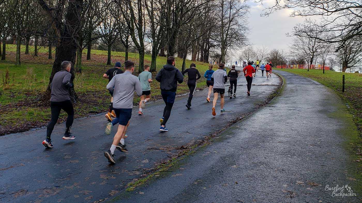
Runners at the bottom of the third hill
It’s not a straight route – a little under halfway up it bends to the left, and then about 15 seconds’ jog later it curves to the right. It doesn’t straighten out until just before the top, but despite that it’s still not too problematic to judge.
The first half, more or less until the route bends right, has trees and a fence on the left, with open grass sloping down on the right. From the bend the left hand side opens out and you get good sight of the flagpole.
At the crest of the hill is a crossroads; a path heads down back towards the previous section, while the path to the left continues up to the top of the hill, where the flagpole is. We however continue straight on, back down towards the start of the Parkrun course.
This whole route, by the way, is also a council access road. It’s wide and smooth, so there are generally no issues along it; there is one further speed-bump not long after the start but that’s all.
The fourth hill and back to the start
You’re now a) at the highest point of the course (just under 60m up), and b) (relatively speaking) almost at the end of a lap. It follows there’s pretty much only one way to go. What goes up must come down. All three hills you’ve climbed to this point now revert. The next 350m are entirely downhill (about 35m) and, while welcomed, will not do wonders for your knees.
The view from the top of the third hill looking towards the finish, eventually
The access road is still wide, and it takes a couple of long turns, first to the left and then to the right. Although in general you’re going north, after the left curve you’re heading due west. If you look to the right there are great views across Glasgow and to the mountains beyond. These are the Trossachs and towards Loch Lomond; in winter you can see the snow on top of them.
Most of the hill is in the trees, but the road is so wide that it’s easy to avoid treefall etc. And because it is a road, rather than a path, it’s smooth and well-maintained.
Towards the bottom of the hill the road bends to the right slightly, and then reaches a junction. Ahead of you is the Balvicar Road gate to the park, by a church. A path heads left towards the big pond, but the Parkrun course takes a very sharp turn the right, and heads towards the start of the lap again.
It is very important to realise though, after the turn, the route goes down a very short but very sharp incline. It’s only a few strides long but it may catch you unawares, and can get very slippery in autumn (leaves) and wet weather. In addition, in winter, this is the point where ice accumulates; if the parkrun is cancelled, this is invariably the where and why.
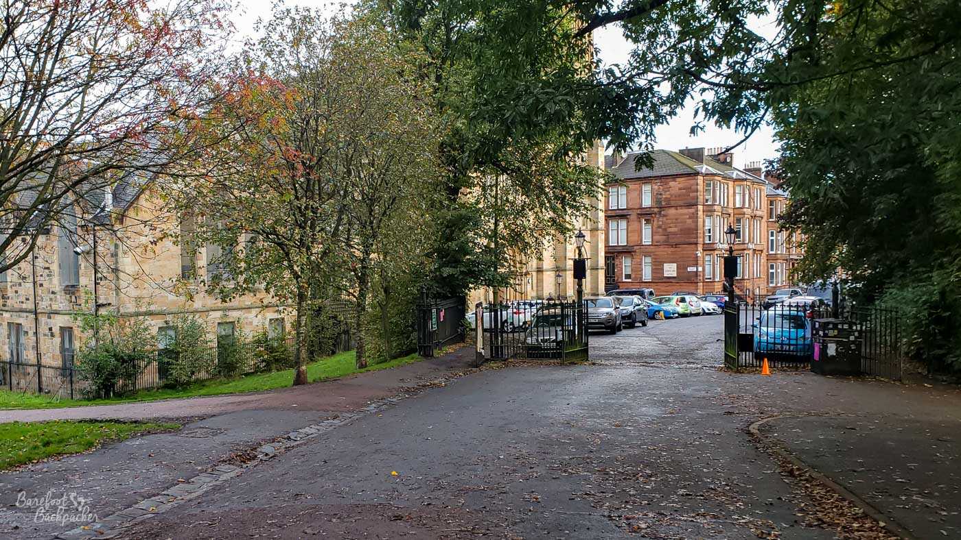
The Balicar Road gate, where the route takes a sharp right turn
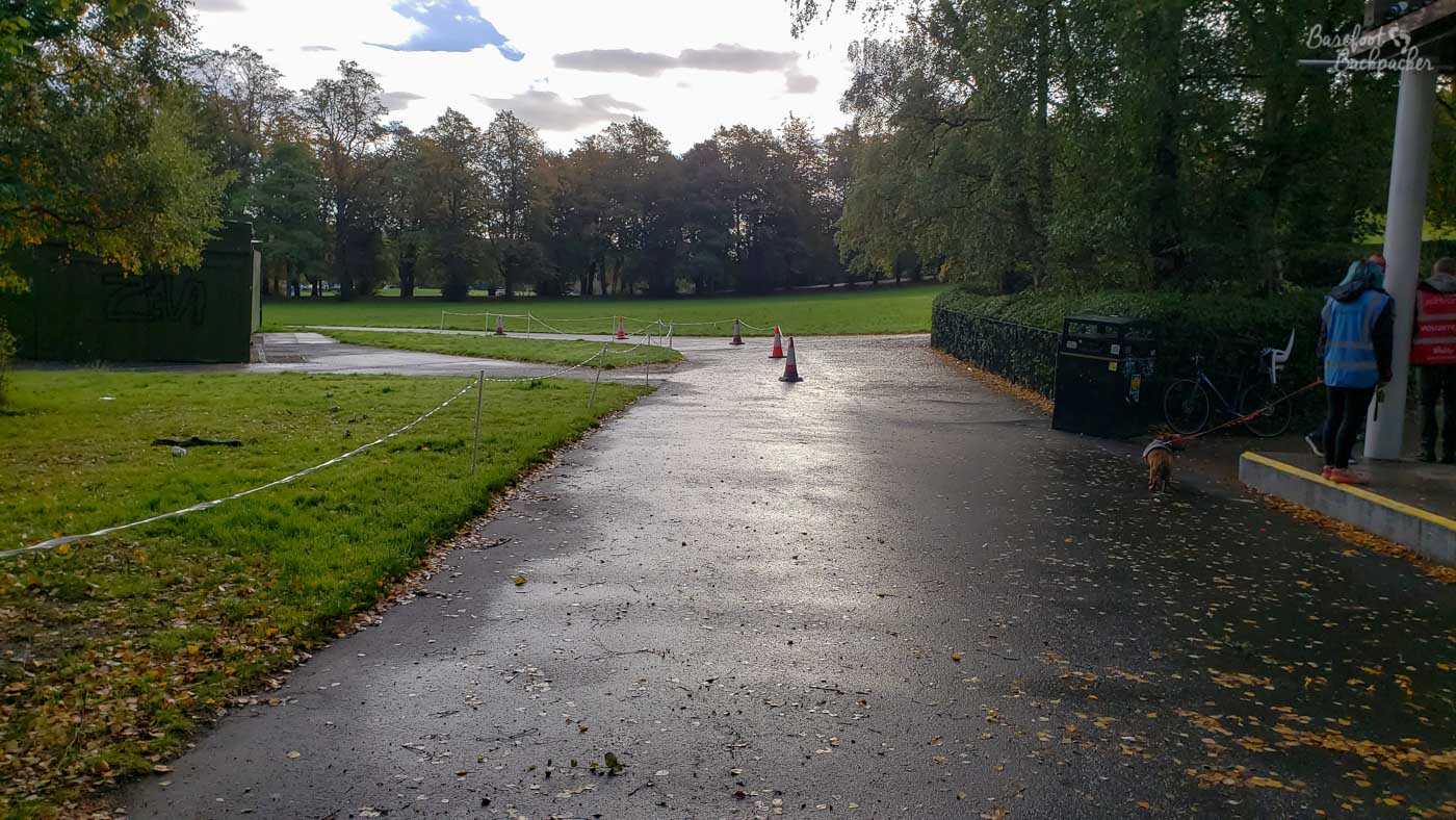
The distance from here to the start line is around 70m of otherwise flat road, passing outdoor multi-gym equipment. On your last lap, it’s around 200m from the turn to the finish line. The route peels off to the right and then goes up both a slight incline and a turn to the left before finishing in a funnel to the left of what Google Maps describes as an ‘arena’. It’s a large wall, behind which is a paved area with terraces beyond, often used by keep-fit enthusiasts. Be aware to keep left in the run-up to the finish, and go down the funnel rather than heading straight to the arena.
After the run
Congratulations on completing Queen’s Parkrun.
The finishing funnel being set up
Just as at any Parkrun, you go past the timekeepers then collect a finishing token from the volunteers. You take these tokens to the volunteers in the arena area who’ll record your run. While there’s nothing else you need to do, apart from maybe telling the volunteers just how much you enjoyed the hills, post-run tea and biscuits are available in the church at the Balvicar Road gate. Sometimes they even have home-made cake. It’s signposted as the Parkrun cafe. Just pay £1; they take contactless payments as well as cash. This is where the volunteers go to do post-run admin, and talk about how well everyone did.
The Parkrun ‘banner’, that people always take pictures in front of, is on the grass very close to the start line. This means you pass it as you head towards the church; another reason to go and have some biscuits.
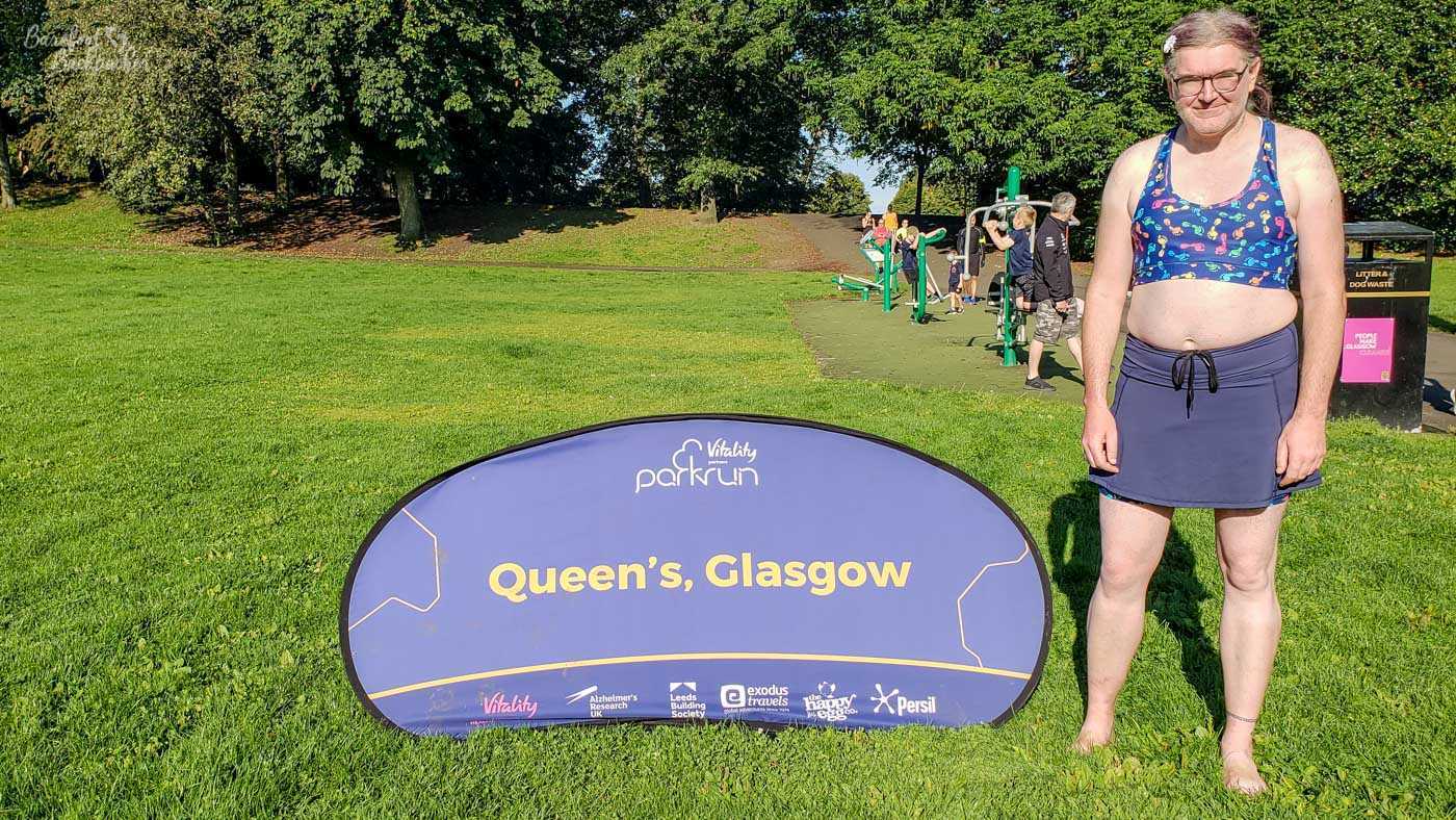
Me at Queen’s Parkrun, looking very revealing
At the time of writing, I’ve done roughly a third of all the events at Queen’s Parkrun, and about 70% of all my Parkruns have been there. I’ve also volunteered at it a few times, which as you’ve seen, is a much easier proposition. A couple of YouTubers who’ve visited every Parkrun in Scotland claim it’s one of the hardest they’ve been to. And yes, I’ve done maybe half of them barefoot. It’s not as easy on the feet as Sheffield Castle Parkrun where I used to go, but aside from that section around the second hill, it’s generally fine.