I suspect not many people think of West Yorkshire as a place to visit. Apart from Leeds, the general impression is one of industrial wasteland, of deprived ex-mining and ex-mill towns, of places with names that don’t resonate with people as interesting places to go: Dewsbury, Batley, Halifax, Huddersfield. Outside of the urban areas, however, the Peak District collides with the Pennine mountain range and the scenery is stark and remote, the villages pretty and, to coin a phrase, ‘quaint’, and for those not in the know, it’s a really unexpected find. Rolling moorland itself is an acquired taste, but you never know what you’ll find until you go and see for yourself.
What is a moor?
Everyone talks about them, but what makes a moor a moor? There is a specific definition. It’s similar to a “heath”, another word common in UK placenames. Both are characterised by grasslands on acidic soil; indeed a savannah environment is essentially a wider and less specific type of heathland. The difference between a heath and a moor is vague, but the generally accepted view is heathland is low-lying and dryer, while moorland is upland and wetter. This also makes them bogland rather than fenland; fens, while similar, have alkaline soil, and are the predominant landscape of Eastern England. Both are flat and dull; moors just take more effort to reach.
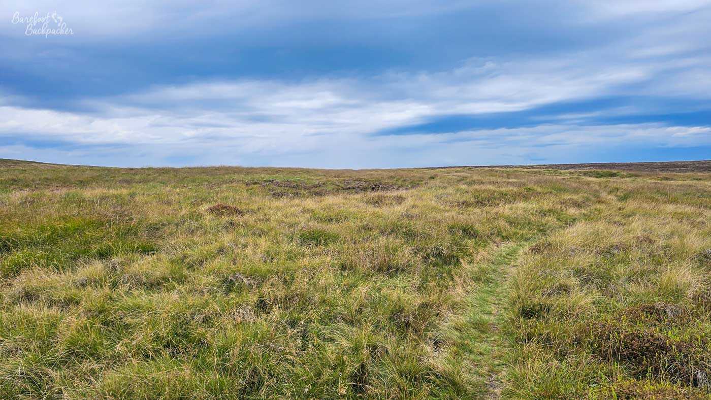
A footpath, maybe, over Midgley Moor.
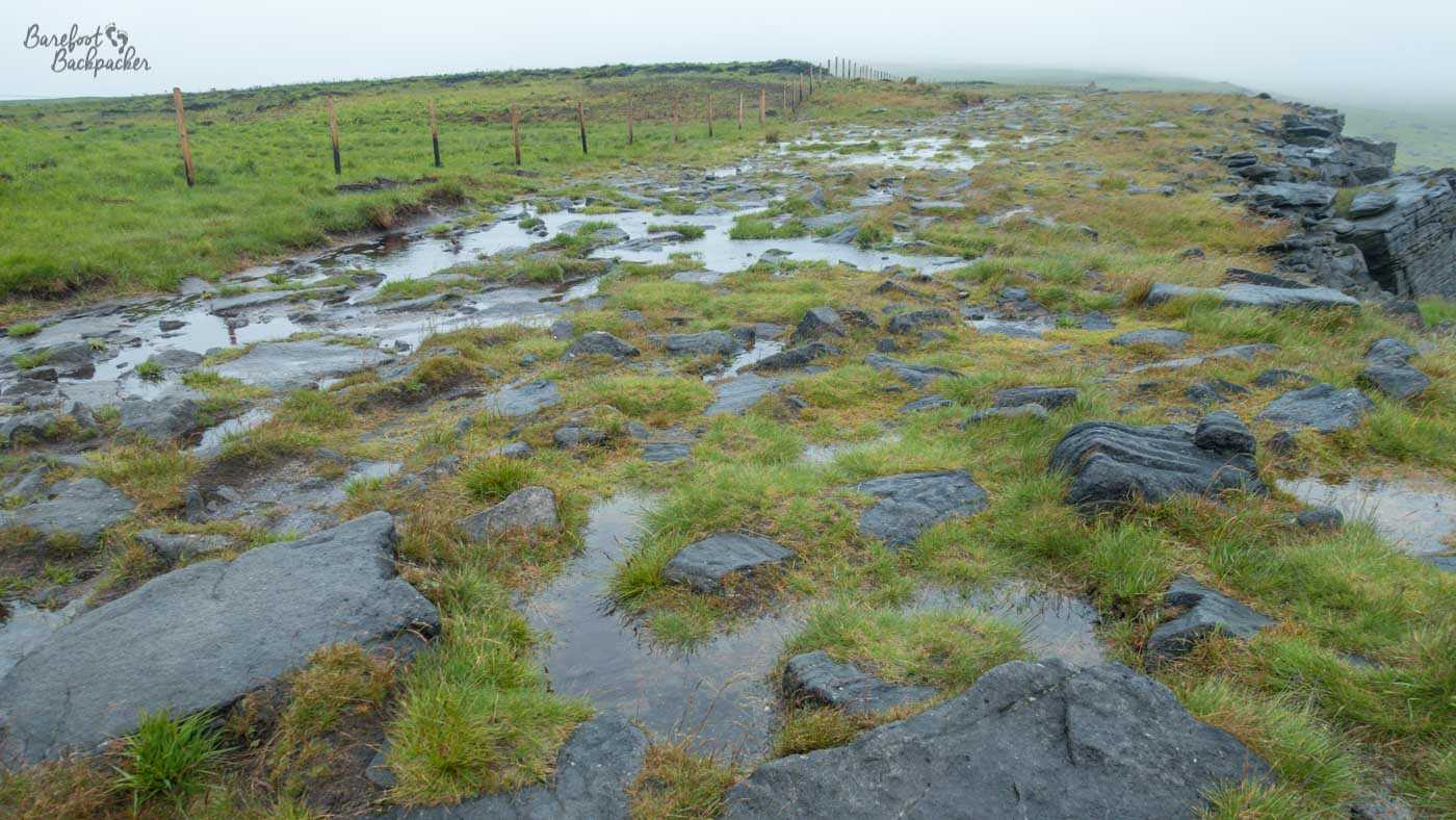
Expansive moorland isn’t terribly aesthetic. Even if you can see beyond the end of your boot, as they’re commonly hidden by cloud, there’s not a lot *to* see. There’s not much in the way of vegetation on them – it’s heather, it’s bracken, it’s moss, it’s the occasional patch of knee-length fern; nothing taller than a bush, for miles. The moors around West Yorkshire are dominated by gritstone, a type of sandstone used commonly in grindstones, to both mill flour and sharpen blades. In many places in the Peak District, especially around Kinder Scout and Stanage and Baslow Edges, the tallest things on the ground are huge gritstone boulders and slabs, large enough to clamber across, sit on, and have lunch,
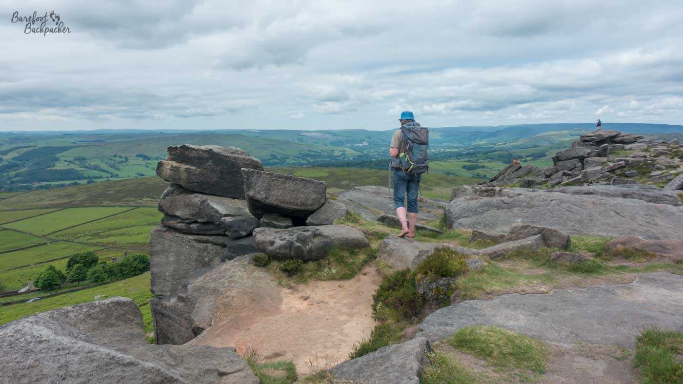
Hiking along Stanage Edge amongst the boulders, I’m mainly looking out thinking ‘this looks like a seaside cliff’.
The moors are home to a variety of fauna, the majority of which is nesting birds, particularly grouse, which makes the most horrendous sound when you approach it and it flies into the air in shock. I’ve also seen a few frogs on my hikes, that disappear quickly into sodden undergrowth on my approach, It should be prime territory for grass snakes, but I’ve never seen one.
While such landscape exists across the world, they do appear to be quite a British phenomenon, for some reason. It’s believed the island of Great Britain is host to between 10 and 15% of the entire world moorland. Much of it lies in the South Pennines, between Manchester and Yorkshire, and it’s quite incredible to think that between four of the largest urban areas in the country lie such remote and bleak places.
What’s the weather like on the moors?
“Wuthering” is one of those words I just accepted as being valid and never really thought about, but I realised I never actually knew. However, it refers to the sound of the wind rushing over the moors, and especially through trees. There are, sadly, almost no trees on the moors. I will concede though the wind whips across the moors with quite some vigour. I always think of those memes about running across the moorlands barefoot in a nightdress to channel your inner Catherine Earnshaw, and I’m thinking, many of the characters in that novel died from Exposure.
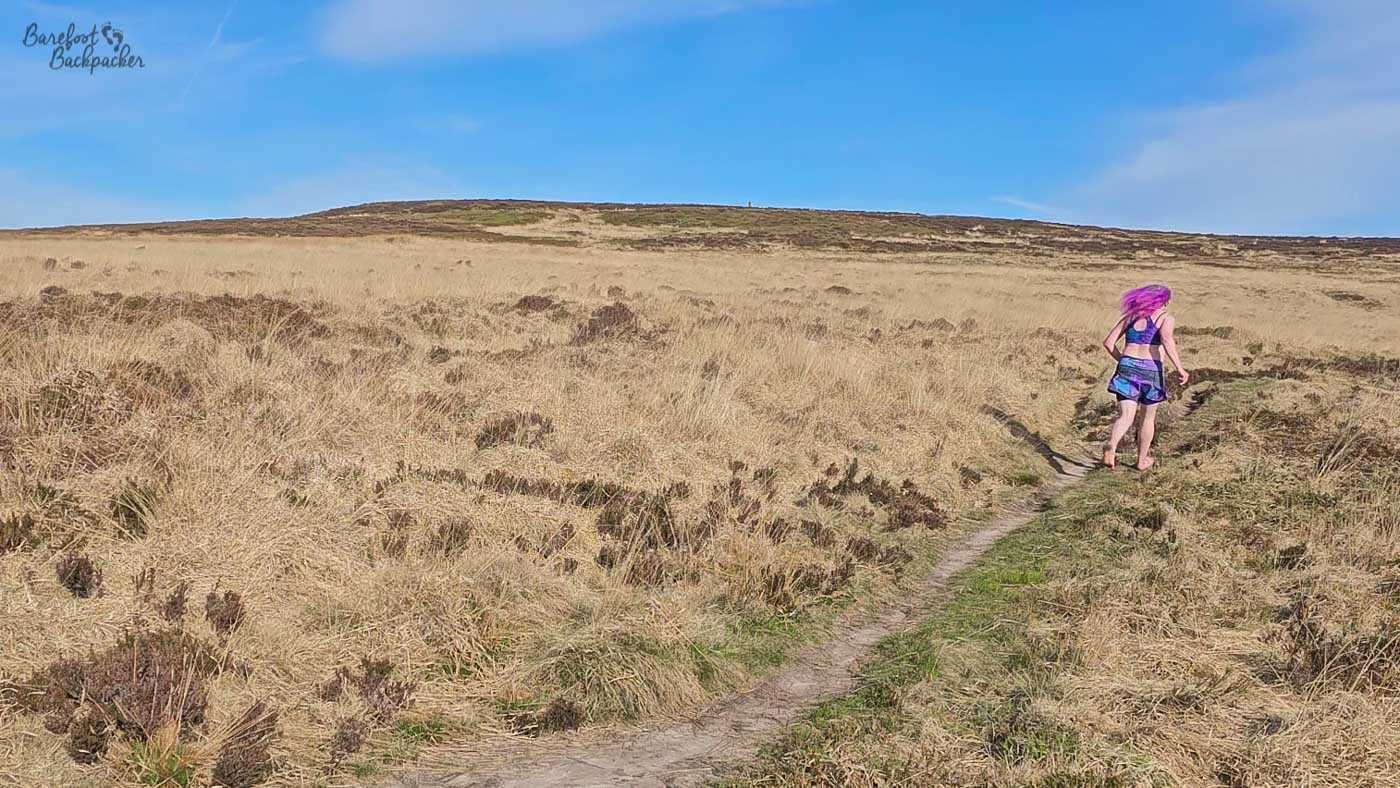
I would have gone full ‘Catherine’ but it was surprisingly too hot for a heavy dress. You’ll have to imagine she was an ultra-runner instead.
Given how exposed they are, they certainly get, and retain, the worst of the weather – they do look quite pretty from a distance with a scattering of snow on them, but even in summer they’re not necessarily welcoming. The first four days on my Pennine Way hike (mid-June 2019) were the most dour and miserable of the entire 58 days of our cross-Britain hike. On the moor just south of Todmorden there’s a tower, Stoodley Pike, that’s 37 metres tall; we could barely see it until we were pretty much next to it and even when we climbed it we couldn’t see the ground from the window openings. The walk over Black Hill was miserable, damp, and bleak, with visibility measurable in yards rather than kilometres. The rain just seeped in everywhere and I was slightly worried about hypothermia.
The terrain on Saddleworth Moor in the summer of 2019. It was as unpleasant as it looks, yes.
Later that year I revisited part of that route (Crowden to Diggle) in what I expected to be better weather. It was less damp, but still very grey, miserable, and incredibly muddy; at one point I tried crossing a stream, slipped on the muddy bank, fell on my bottom, and severely dented my carbon-fibre poles. I’d intended to camp out somewhere in the ether and have a second day hiking to Hebden; in the event I threw my now-useless poles down in a huff, stormed into Marsden, went to the pub, and booked a hotel in Manchester.
Then, in the grey autumn of 2025 I was doing some exploratory hiking on Warley Moor, when I saw a flash in my peripheral vision and realised I was the tallest thing around. Being hit by lightning was not on my 2025 to-do list, and I made sure it stayed that way.

Looking north to Stoodley Pike, showing how it vibes in the landscape. Compare with the misty pic on the Pennine Way page.
Conversely, in the summer of 2024 I hiked from Diggle to Hebden Bridge along the Pennine Way, in glorious sunshine, and I saw Stoodley Pike in all its glory from several miles away. I was comfortably barefoot over the flagstones over Saddleworth and I wondered what all the mythering was about.
What are the moors around West Yorkshire?
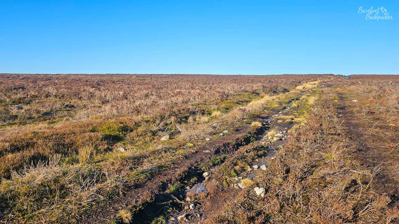
There’s lots of moorland in the West Yorkshire area, much of which has specific names, but it’s often hard to tell where one moor ends and another starts – indeed sometimes the ‘boundary’ is deemed to be the solitary road running through them.
There are though several distinct and notable moors in West Yorkshire. Towards the southern end, beyond the Calder Valley, is Saddleworth Moor, one of the bleakest, most miserable places I’ve been to in the UK. It averages at around 400m high, and feels it. There’s pretty much one road and a handful of footpaths that cross it, but the road can close in bad weather and the footpaths exist more on the map than on the ground, especially in the twelve months of rain and mud they get a year.

Arguably the most interesting and visually-aesthetic point on the whole of Saddleworth Moor.
Wikipedia tells me it’s largely open access land; that is to say, there’s no regulation on hiking on it and there’s few private areas. I’d say this isn’t a surprise given there’s not a lot you could productively do with it. It’s as close to wilderness as you can get in a country like the UK. Some might say it’d be a great place to hide a body. But I wouldn’t know anything about that.
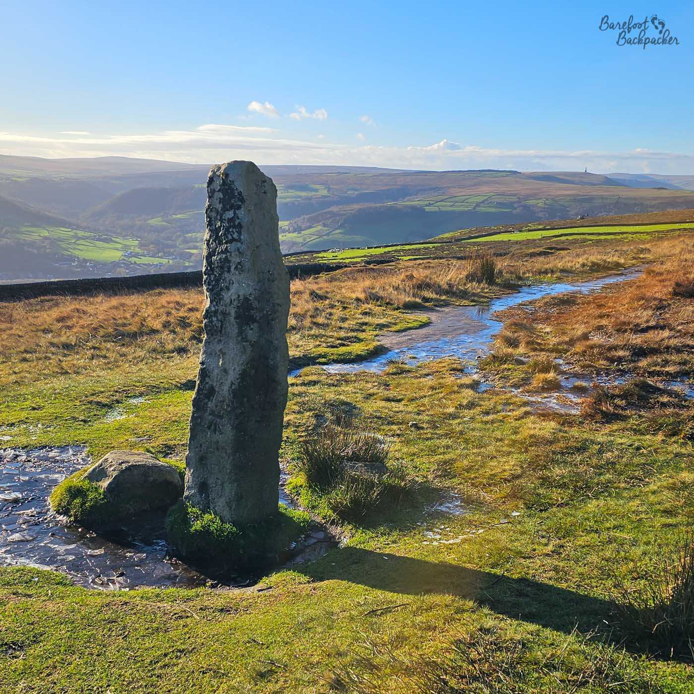
Midgley Moor is the one I’ve been to the most, and its home to a number of sites. It lies immediately north of the Calder Valley, above the villages of Mytholmroyd and Midgley (hence its name), and reaches around 300-350 metres higher than the valley floor; the roads to its edge run pretty much entirely uphill (hitting a 1-in-7 gradient in parts) for almost two miles.
Midgley Moor in all its, er, glory.
It’s a great example of the West Yorkshire moorlands, on the grounds it’s remote, empty, and bleak, with a handful of stones to break the ice. One of the most notable is close to Midgley, and known as ‘Churn Milk Joan’, It’s a large standing stone that has a whole series of folk stories, the most pertinent of which is that it commemorates a milkmaid called Joan who got lost on the moor in bad weather and died of exposure at that spot, and the stone was erected in her memory. While more likely to be some kind of boundary stone – there are several others on the moor – it’s not completely unlikely.
The Churn Milk Joan stone on Midgley Moor.
Continuing that theme, at the north end of the West Yorkshire moorland, the other side of the town of Keighley, is a series of moorlands broadly referred to as Ilkley Moor. Strictly speaking Ilkley Moor is the slope down to Ilkley town in the north of the moorland, and Burley Moor and Bingley Moor amongst others make up the bulk of it, but referring to it all as Ilkley Moor is common.
View of Ilkley Moor looking towards Ilkley.
This is because, in a Yorkshire context, it might well be the most famous moor, despite the best efforts of Myra Hindley and Ian Brady. “On Ilkla Moor Baht ‘at”, or, in standard English, “On Ilkley Moor without a hat”, is a famous folk song and considered my many to be the unofficial anthem of Yorkshire, even used as the ident jingle by the local TV company. It’s simply a tale of someone trying to court their would-be lover, but they do so on Ilkley Moor, without a hat, and it doesn’t end well for them. Well, it doesn’t *start* well for them, in that they die of exposure. And then it just gets progressively weirder. As folk songs often do. Apparently it’s based on a true story, on a church-organised ramble in the late 1800s.
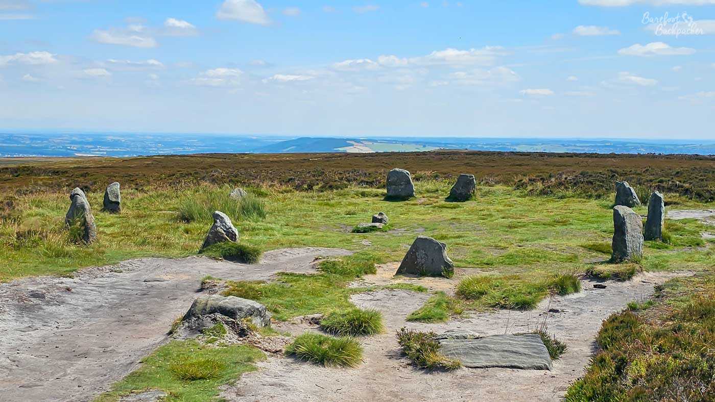
Twelve Apostles Stone Circle. There used to be about twenty of them.
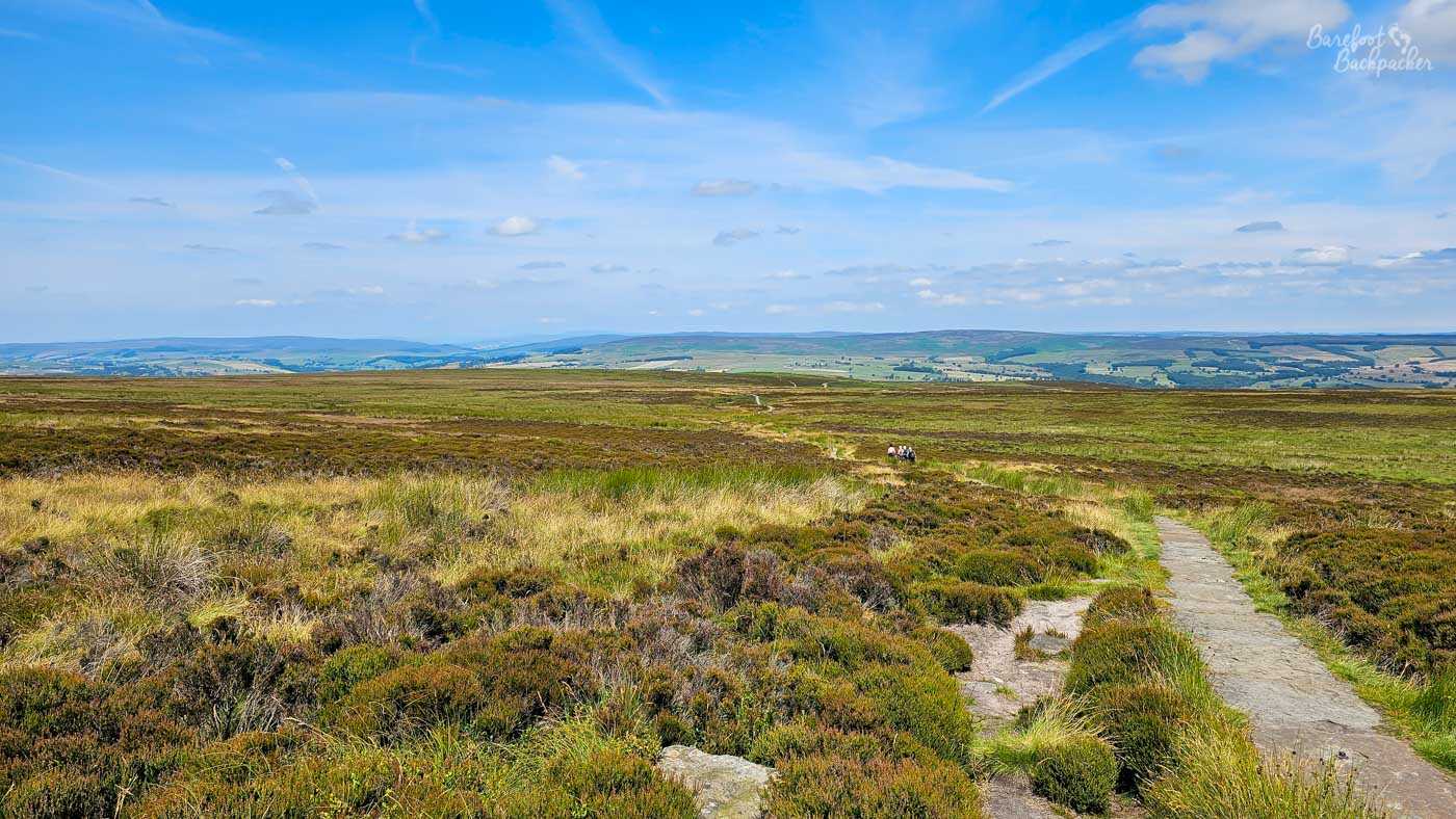
Ilkley Moor is also home to a large number of neolithic-era carved stones and other similar objects, amongst the highest concentration in the whole of Europe, indeed. It’s evidence that people have been living near and walking on the moor for several millennia. These include sites known as the ‘Badger Stone’, the Twelve Apostles Stone Circle, and the Swastika Stone. Ilkley Moor is also notable for an apparent alien encounter, but honestly, a combination of bleak landscape, mist and fog, and incredible despair means it’s surprising it doesn’t happen more often. Indeed Hebden Bridge, between Saddleworth and Midgley Moors, is the UFO capital of the north of England. There may be other reasons for that.
What are some interesting towns in the moors?
There’s a number of interesting small towns in the moors, many with cute cobbled streets and stone cottages. At the south-eastern end of the moors, before the fens of Nottinghamshire take over, is Holmfirth. It’s a picturesque market town in the hills, with stone buildings and open streets.
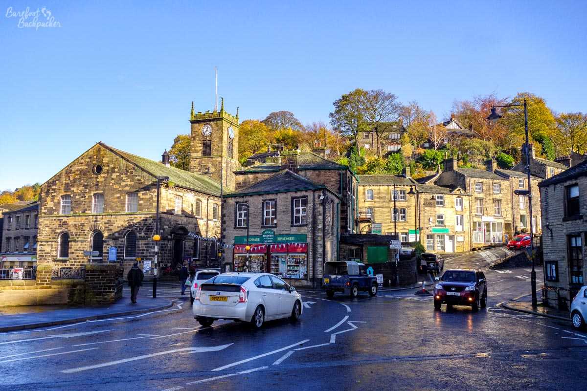
The lovely old-stone buildings in Holmfirth.
Holmfirth is, of course, most famous as being the setting for long-running TV sitcom “Last of the Summer Wine” – a very stereotyped but typical Yorkshire – but the town itself doesn’t really feel like it bears out the stereotype. I’d feared it would be a ‘tourist trap’ with horrendous amounts of memorabilia and souvenirs, but in reality there were very little of either – rather the town seems to market itself very much more on the ‘quaint traditional moorland market town’ vibe.
Well, quite.
The roads out of Holmfirth are incredibly beautiful, but the weather closes in very quickly and it only takes a few minutes of snow to pretty much cut off the town – just be wary of visiting in Winter.
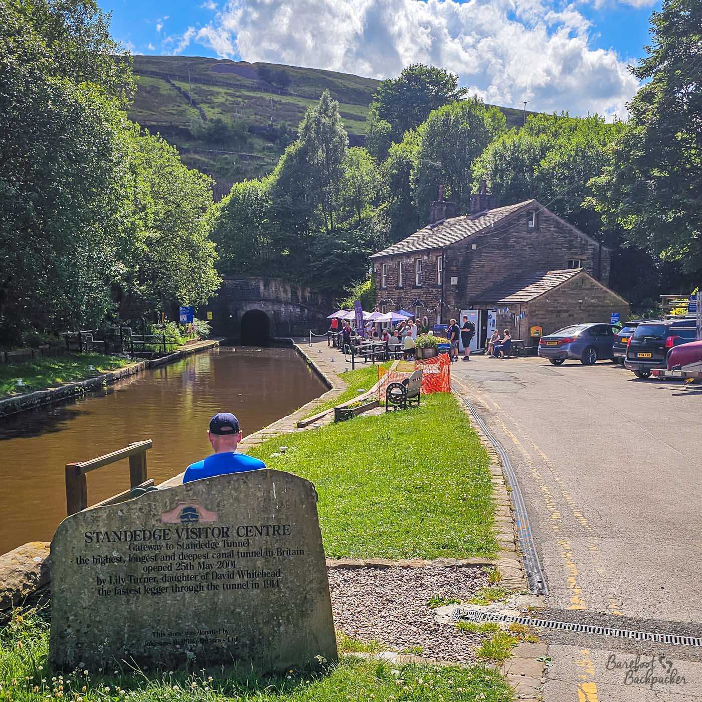
The eastern portal of the Standege Tunnel, cafe and visitor centre on the right. No you can’t walk through it.
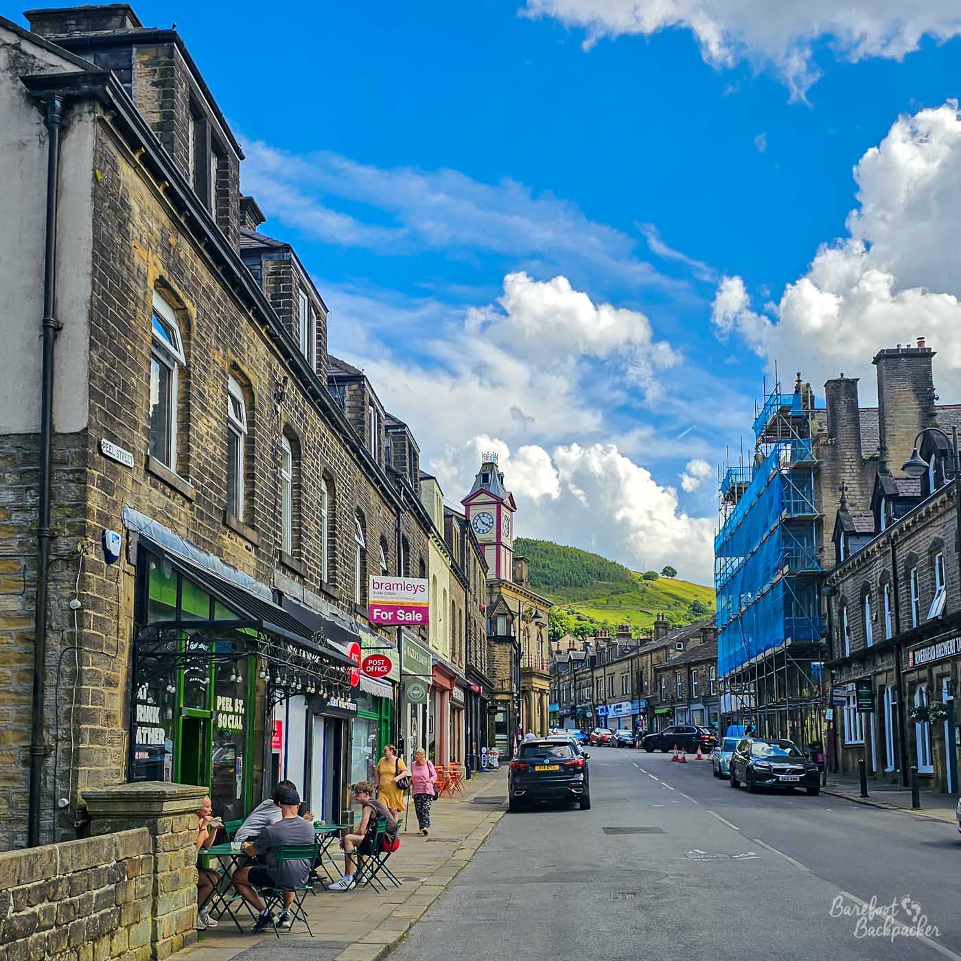
Across the moor to the west is Marsden – a journey more direct by foot than by car. Marsden is a small town located in one of the ‘passes’ across the moorland (the Colne Valley), and is served by a railway and a canal. The latter is notable here as being close to the portal of the Standedge Tunnel, built by Thomas Telford and opened in 1811. It is the longest canal tunnel in the UK at 5.2km, as well as being the highest, and the deepest, giving an indication of the topography of the area. On the Marsden side of the tunnel is Standedge Tunnel Visitor Centre, a small museum and from where you can take boat trips into the tunnel.
Marsden Town Centre.
The town itself is one of the many in the region noted for its wool production, and many of the buildings are of that fine mid-Victorian era, though more now residential than industrial. The railway station is also one of the regular stops on the ‘rail ale trail’ – a pub crawl by train that visits many of the larger towns in the moors between Stalybridge and Dewsbury.
The next valley north, across a couple of bleak main roads, is the Calder Valley, There’s several towns and villages along and just off it; one of the finest is Heptonstall, but I talk more about that in another post. The most notable though is Hebden Bridge.
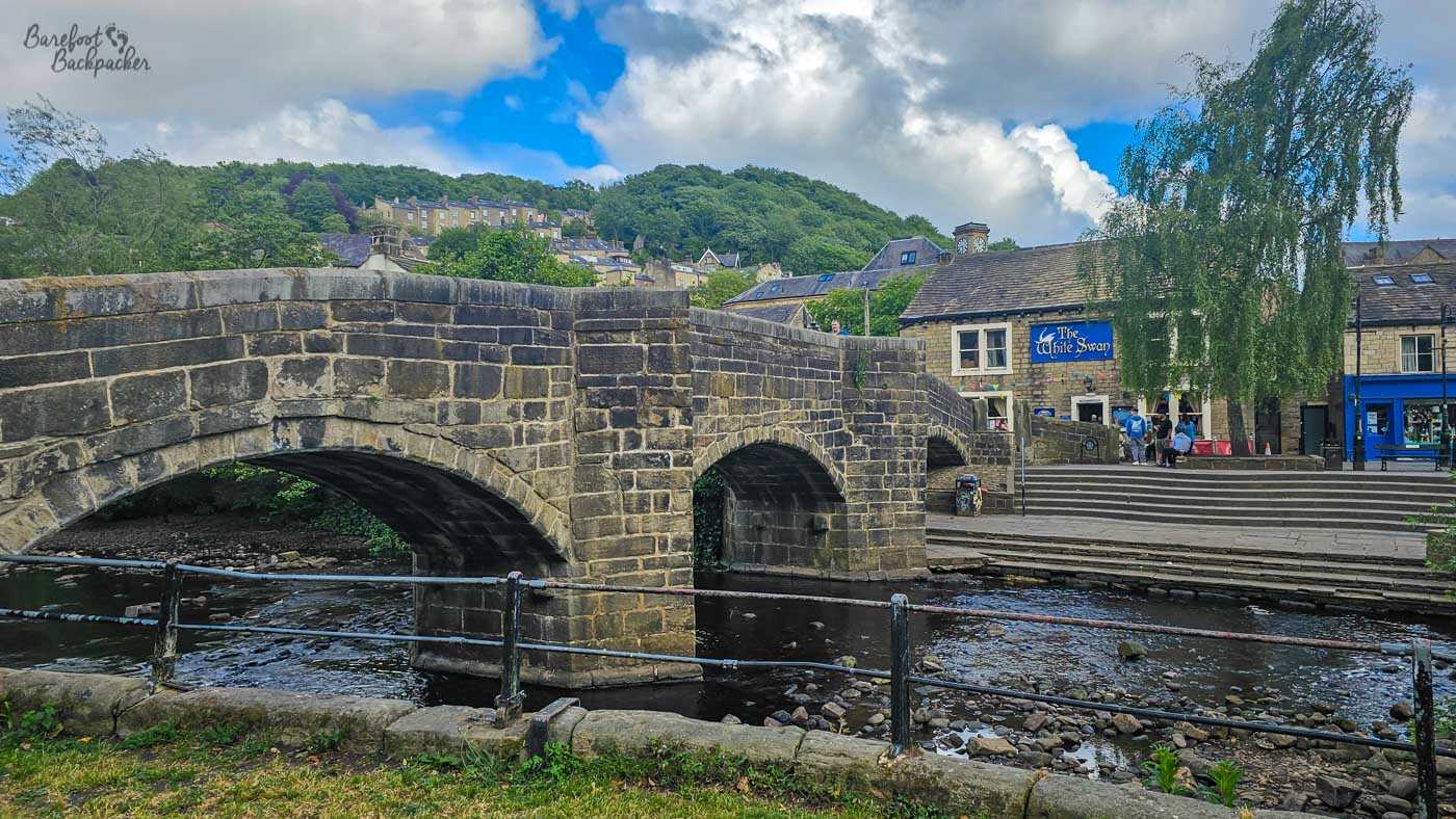
The old bridge in the centre of Hebden Bridge.
This is a quirky town with a spiritual, neo-hippy bent, likened to places like Glastonbury and Salem; it’s also noted as having the highest proportion of lesbians in the country. The first time I visited, I arrived right in the middle of a demonstration by a horde of Morris Dancers in the main square; it turns out this is a regular occurrence.
It’s a lovely setting for a town; the Victorian stone buildings contrast very neatly with the large green moors on all sides, and they function as independent shops, pubs, and creative spaces. It lies pretty much exactly halfway between Manchester and Leeds, and someone suggested it should therefore be the capital of an Independent Northern England.
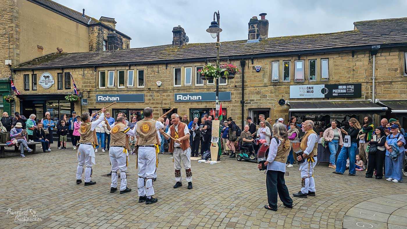
Morris Dancers in the centre of Hebden Bridge.
The downside is it stands at the point the Hebden Brook joins the River Calder; the latter has been forced into a narrow channel all long the route from Todmorden and so the centre is prone to flooding – it’s happened several times in the last decade, and they even have a very loud and grating flood alarm.
Across the moors north of Hebden, and accessible by a regular bus, is Haworth.
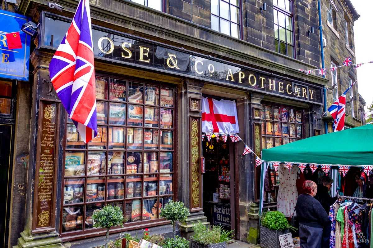
The shop in Haworth where Branwell Brontë developed his opium addiction.
It’s built in the valley of the River Worth, originally a cotton-mill area but now very much geared towards tourism; the main street is now a cobblestone road, one of the steepest high streets I’ve ever walked up, lined with period buildings, cafés, and souvenir shops. Although it hosts ‘period’ weekends throughout the year, where the whole town dresses up in costume, it’s most famous claim to fame is being at the heart of Brontë country; Haworth being where the Brontë sisters wrote most of their works – indeed the novel Wuthering Heights is very much based near the village.
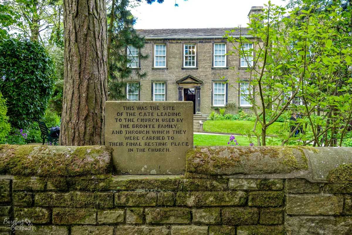
Haworth’s Parsonage, now a museum.
The parsonage where they lived is now home to a (little overpriced) museum, which includes the very desk that Charlotte Brontë at least wrote her novels on. In the nearby churchyard are graves relating to the Brontë family, whilst in the church itself (St Michael & All Angels) is a small memorial chapel to the sisters who are buried in a vault underneath. Except Ann, who’s buried by the sea in Scarborough.
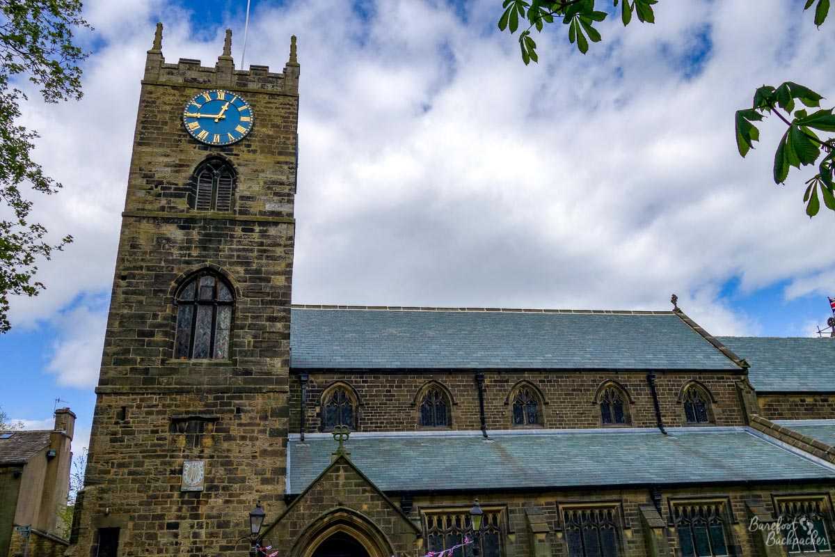
Haworth’s church, a small place in need of renovation.
Going North still, one of the last places you reach in the wild moors before you hit the Yorkshire Dales is Ilkley. And for a Leeds/Bradford commuter town (it’s at the end of a branch line with frequent connections to both), it vibes like a quite well-to-do place. It’s an old Roman settlement but there’s very little remaining from that era. Instead, it developed in the early Victorian era as a spa town, and it still has a feel of a genteel seaside resort.
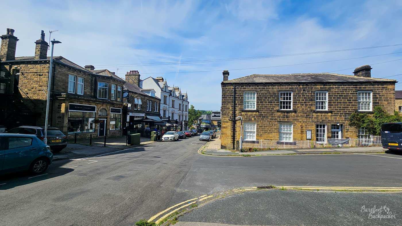
Victorian-era buildings in Ilkley Town Centre.
Like Hebden Bridge it’s home to independent shops and pubs, but additionally has a branch of Booths supermarket, a chain that make Waitrose feel like the Co-Op. It’s also home to Ilkley Brewery and there’s a number of good pubs in the town that are very useful rest stops after a hike across the moors. On my visit there was also a small music festival going on, with live bands in the pubs and on the greenery in front of the church. It all felt quite English Country Garden.
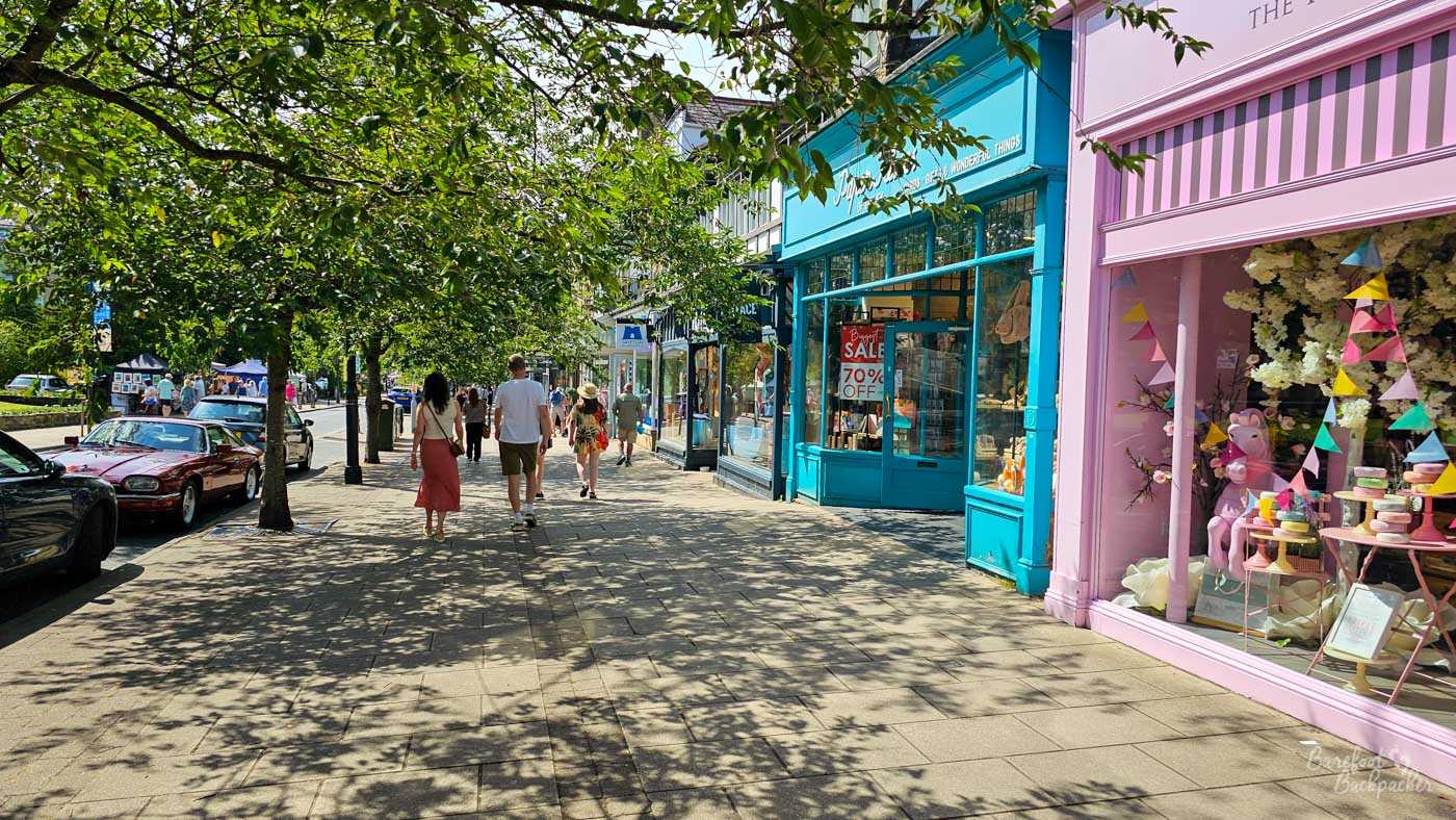
The main street in Ilkley.