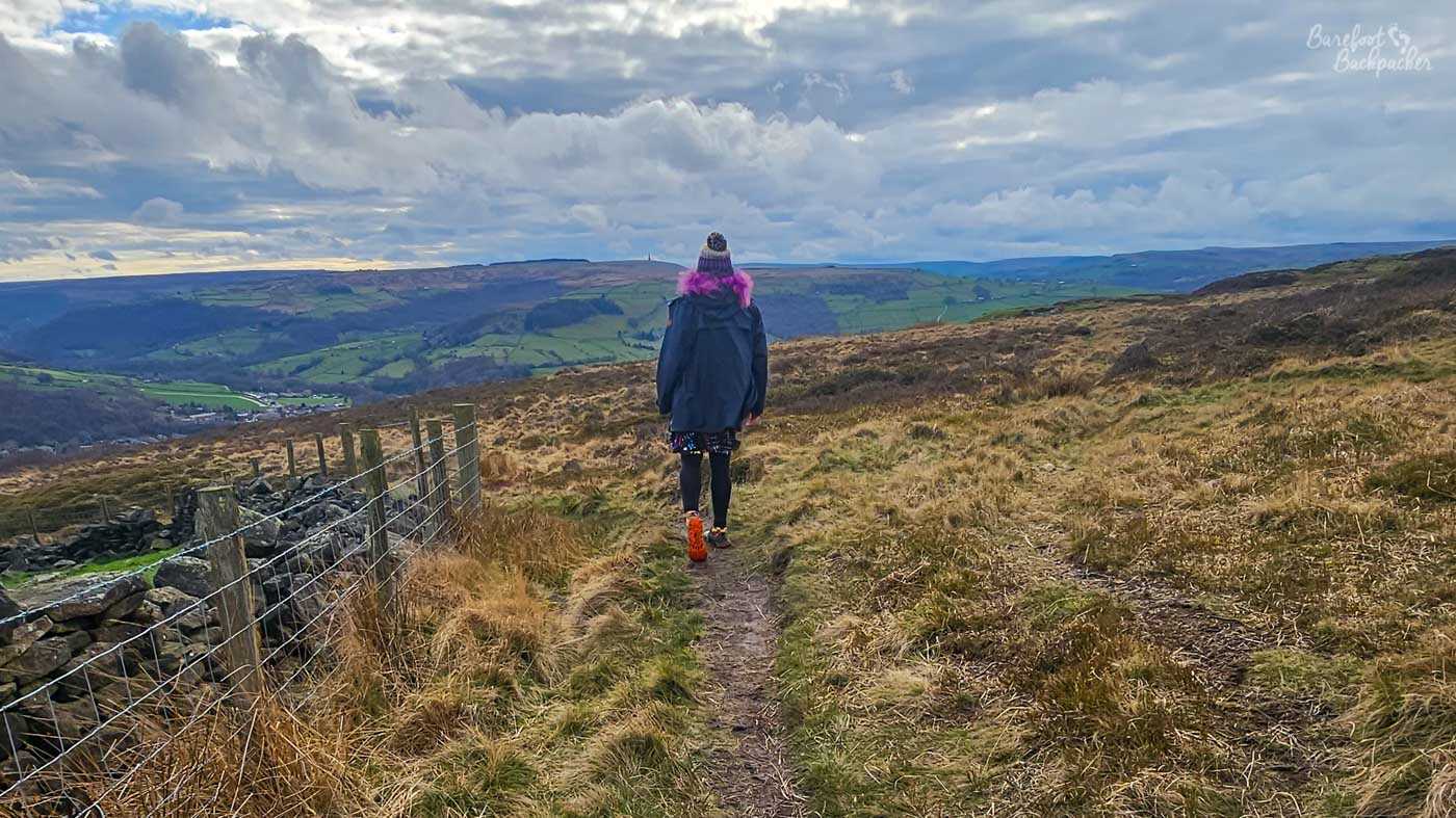
The Calderdale Way is a long-distance footpath that loops around the Metropolitan Borough of Calderdale, in West Yorkshire. It’s around 50 miles / 80 kilometres long, give or take a mile, which makes it a decent enough weekend hike. There’s an Ultramarathon that covers its length that people have completed in under 10 hours. I am not those people, as you know.
As an administrative area, Calderdale was created in the 1974 local government reforms, and the Calderdale Way seems to have been designated not long after, in an attempt to show the borough as being a pretty place to visit and live in. Like many long-distance trails, it’s more of a ‘brand name’ that links several historical footpaths together, and uses whatever routes are to hand. The borough is named after the River Calder, that flows through the centre of it from just up from Todmorden all the way to Wakefield, where it joins the Aire and eventually the Humber Estuary. Despite being a dale, and despite being in Yorkshire, it’s not in the Yorkshire Dales. Maybe it should be.
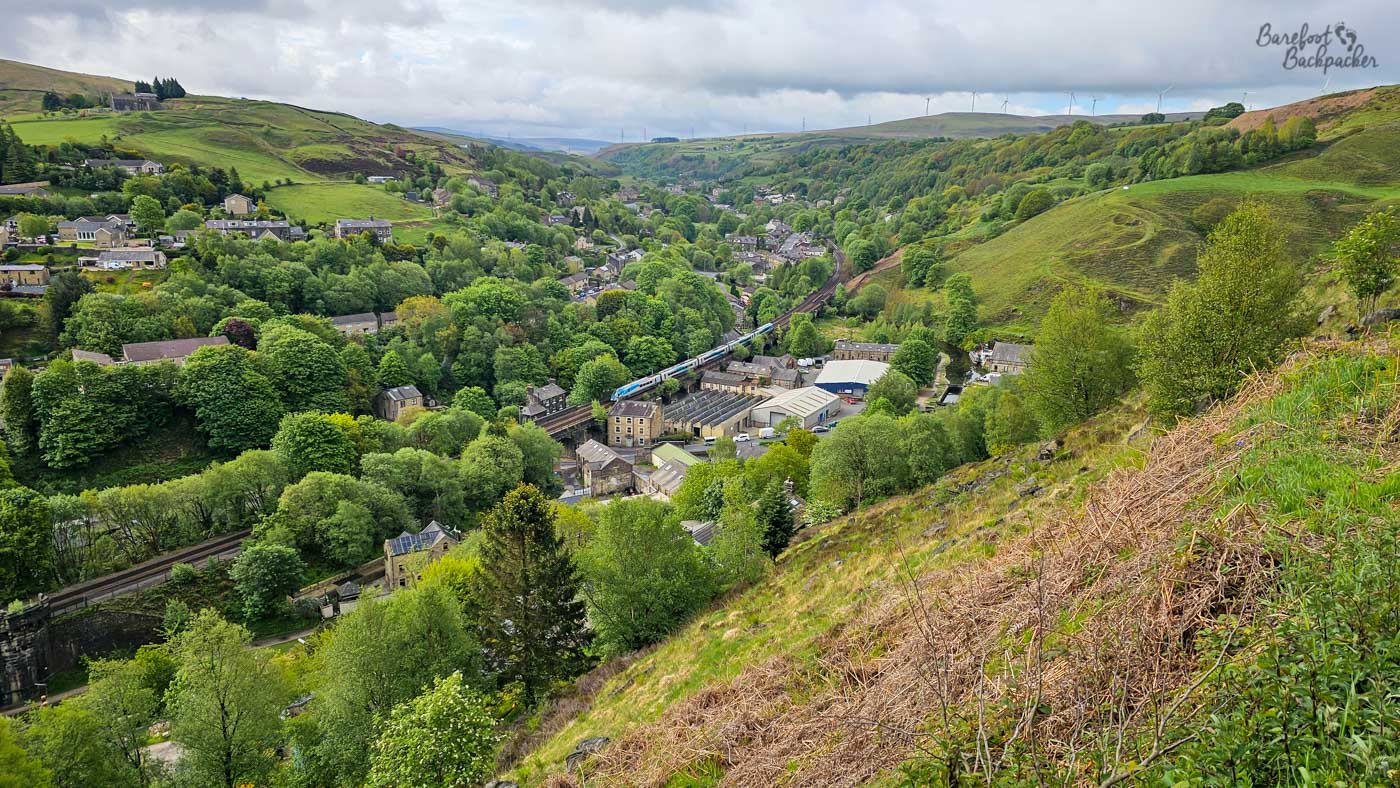
View over Todmorden from the heights of the ‘Little Bastard’ hill. Train pictured because it was conveniently in the way..
The river runs alongside the main A646 road, a railway, and a canal, for almost its entire time in Calderdale, between Todmorden and Brighouse. This is because that’s the flattest part of the borough, and the easiest way to pass through. The Calderdale Way, however, does not. The whole path covers an altitude gain (and therefore also drop) of around 2,800m, as it rolls over the hills on either side of the valley floor. Per km, this makes it a tougher route than the Pennine Way. As well as being easier to access – there’s a whole myriad of ‘Calderdale Way Link Routes’, especially on the north side of the valley, between Heptonstall and Holdsworth, providing links to many of the places off-route like Mytholmroyd and Luddenden, and thus back to the valley floor. The downside is, as they all use the same symbol (a yellow stylised lower-case ‘c’ and ‘w’ in a trefoil shape), it’s easy to take a wrong turning.
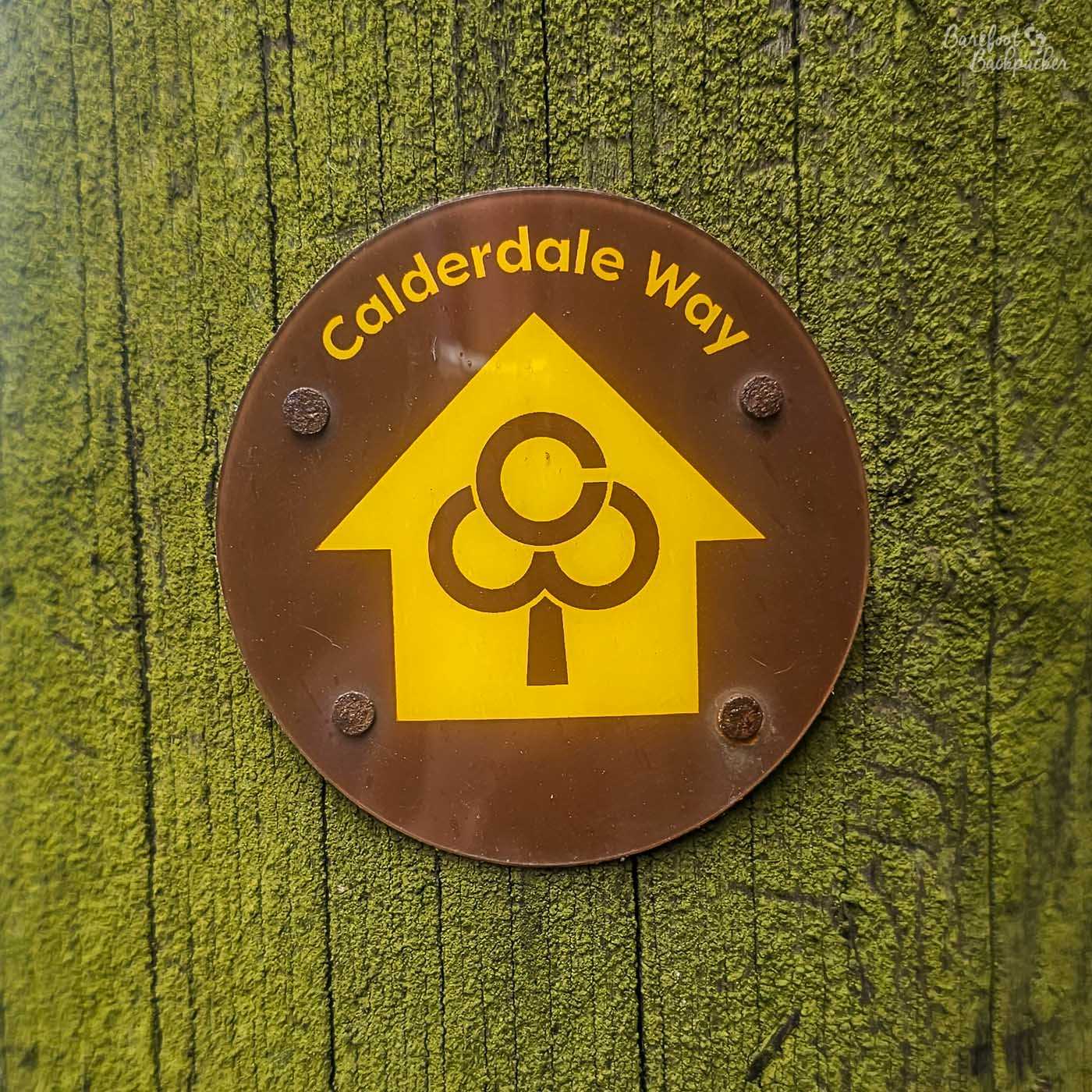
The logo of the Calderdale Way. Seen everywhere, often painted on the wooden fenceposts, including on the Link Paths.
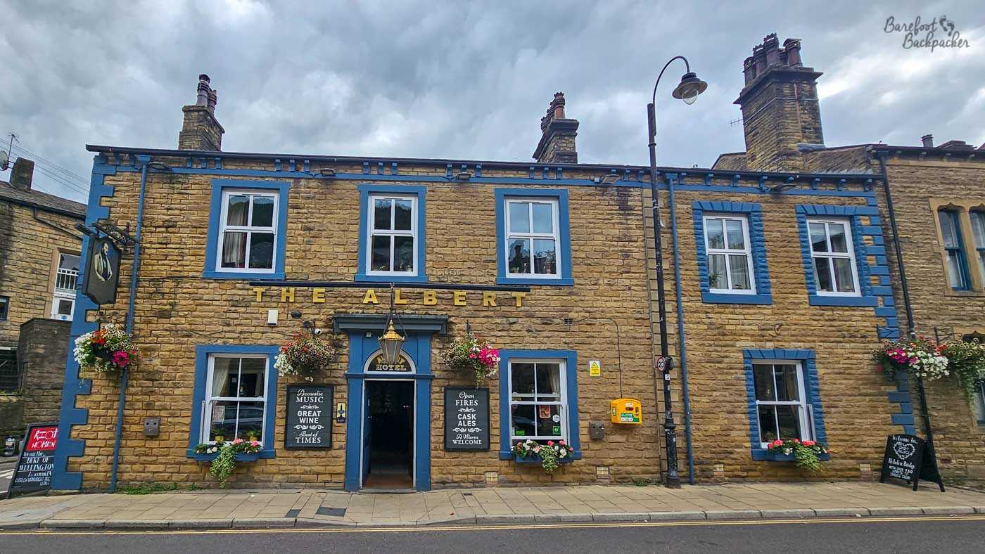
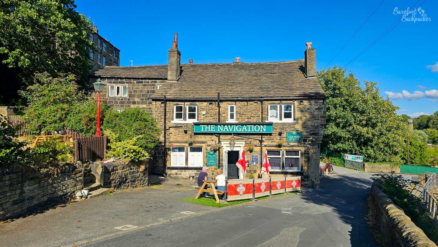
The Calderdale Way Ultramarathon begins in Heptonstall, while according to official details about the Calderdale Way, the footpath’s nominal start is in West Vale, just south of Salterhebble. Alternatively, a couple of guides suggest starting more sensibly in Brighouse. I’ve chosen to start this blog post though in the town of Todmorden, partly because it’s the most convenient of the places on the footpath to get to, but also because it’s just a genuinely nicer place to base yourself. It even has several pubs to either prepare yourself or reward you for a hike well done.
Todmorden is the most westerly town in Yorkshire; indeed before council reforms in the 1880s, the Walsden Water flowing south marked the boundary between Lancashire and Yorkshire, with the town hall standing astride it like some kind of peace offering. Even the town’s name comes from its border status; an Old English combination meaning something like ‘Totta’s valley at the border’. These days the town is entirely in West Yorkshire, and though both Lancashire and the borough of Rochdale are only a couple of miles away, this is not the closest the Calderdale way gets to the border.
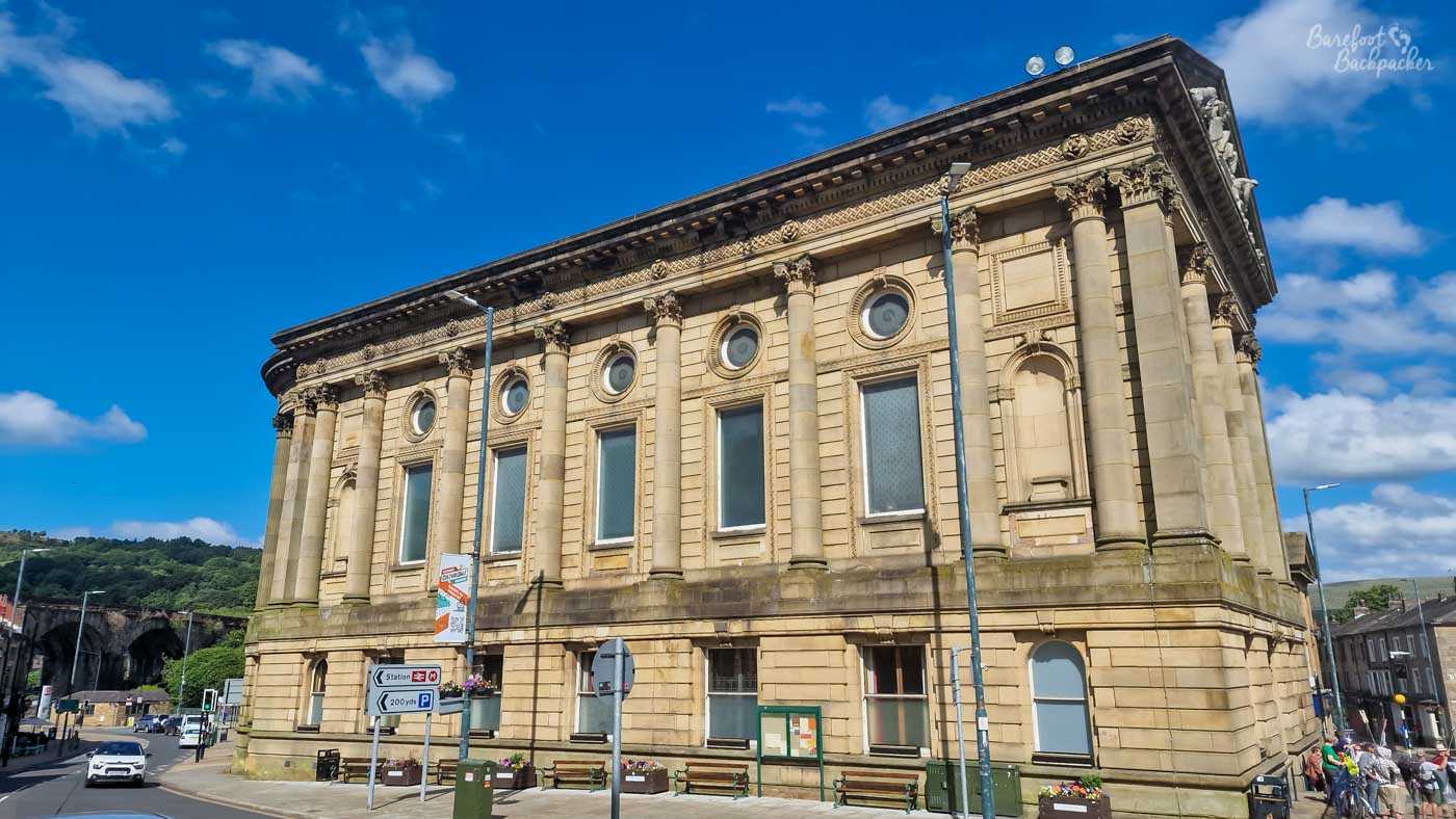
Todmorden’s Town Hall. I’ve been to Todmorden many many times and keep forgetting to snap a picture where it’s wholly in shot.
So, get your trail shoes on (this is not a path to run or hike barefoot on!), and let’s get going.
Section 1: Todmorden – Heptonstall (15km)
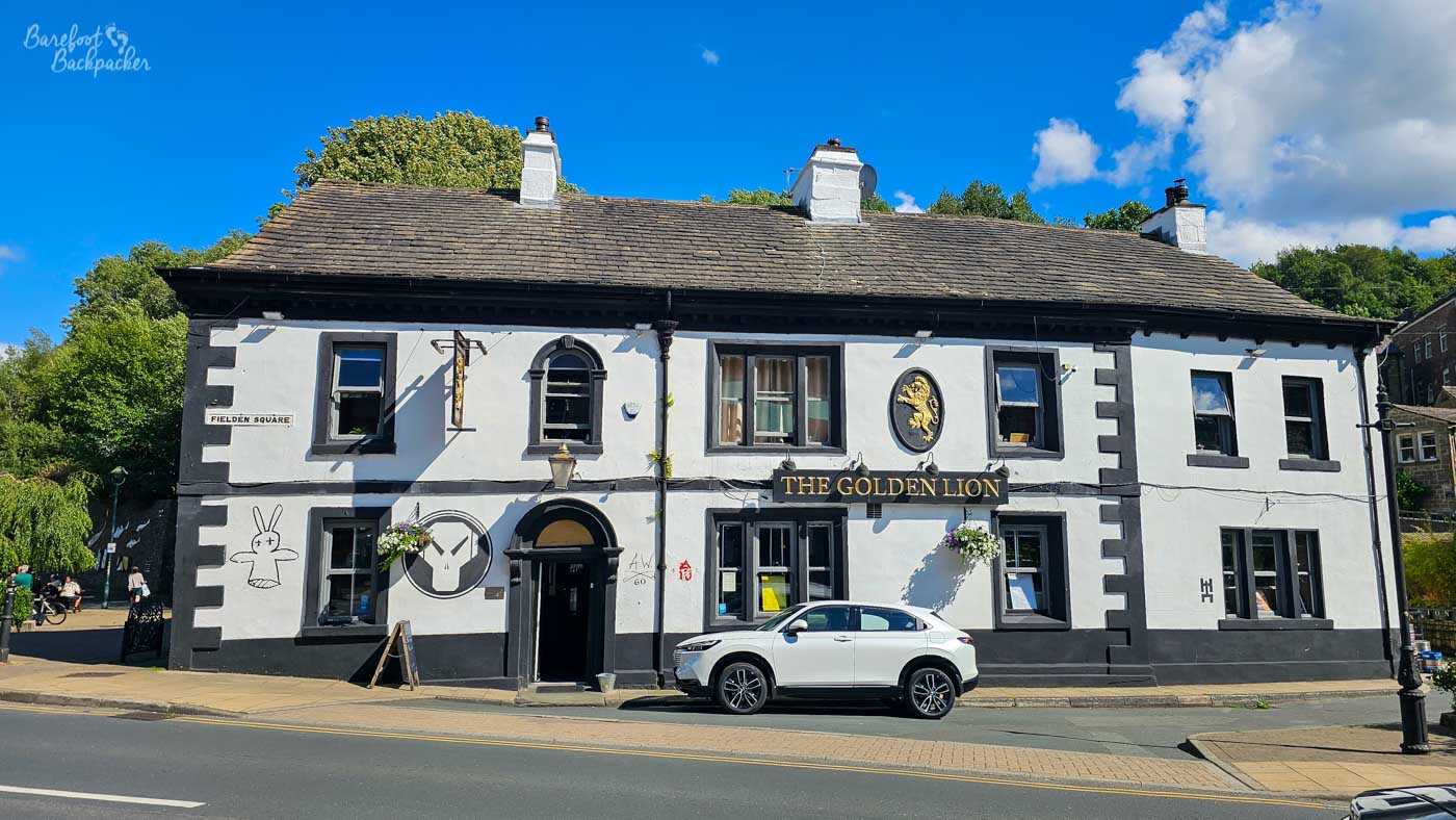
As you read earlier, the Calderdale Way is definitively Not Flat, so why not start as you mean to go on. The organisers of the Calderdale Way Ultra define the two hills around Todmorden as ‘Little Bastard’ and ‘Big Bastard’; the route in Todmorden starts very close to the Golden Lion inn at the canal bridge and rises 170m in 2.2km, passing close to some ancient standing stones, before an equally sharp drop back down close to Centre Vale park, where it crosses the narrow enclosed stream that is the River Calder. It then passes under the railway before another, steeper, climb of 210m in about 1.8km. The views over Todmorden and the western moors are great from here, but so are the depth of your breaths.
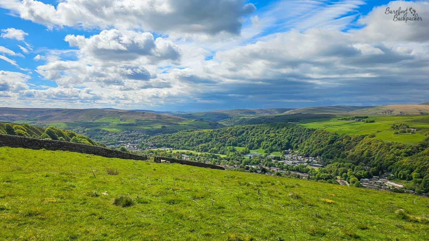
View over Todmorden from the top of the ‘Big Bastard’ hill.
The remainder of the route to Heptonstall (just under 10km) is undulating rather than flat, but certainly much more comfortable than those hills. This section of the path is noted for passing by quite a number of farms, meaning it’s not so much the hills that cause the legs to ache, as the many stiles and gates to clamber over. It’s a very green part of the route, and all the while you have good views over the Calder Valley towards Stoodley Pike, a distinctive spot that you see a lot on the path but never actually reach. In fact, the path north of the Calder is very much more farming country, the section after Heptonstall notwithstanding, while the route on the opposite side of the valley is much more open moorland.
One notable spot is reached after 9.75km; this is a great rock by a junction of two country lanes. This is the site of the final checkpoint on the Ultramarathon, and has the name of ‘Great Rock’. This is a lump of gritstone, about 10m high, that serves as a useful marker and meeting place. It’s been covered with graffiti for many years, and is used as a convenient and accessible place for rock climbers. There’s even a folk tale that it marks the spot where the Devil failed to step across the Calder Valley to Stoodley Pike.

The Great Rock. It is, as you can see, a great rock.
Despite being in farming country, you don’t really pass any convenient villages in this section – it’s all quite remote country lanes. Even Blackshaw Head, from which you can catch a bus into Hebden Bridge, is nothing more than a small number of quite large and pretty houses. The path then passes close to, but not through, hamlets like Colden and Slack.
Just before Slack, the path passes over Colden Water, which involves a steep descent and ascent; compared to other valleys though this is pretty manageable – there are even steps. Just beyond here, at the start of a small but dense forested section, the Calderdale Way crosses the Pennine Way on its way between the outskirts of Hebden Bridge and Wuthering Heights. The forest section continues mostly to Heptonstall, and hides Lumb Bank as you pass above it, the old home of poet laureate Ted Hughes and now a writing retreat centre run by the Arvon Foundation.
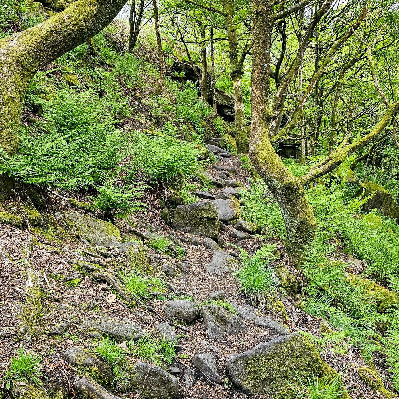
The Calderdale Way as it weaves through the trees and rocks just above Heptonstall. Apparently many people on the Ultra choose to finish along the road a short distance to the left. For obvious reasons.
The last km or so into Heptonstall is quite hard to trek, as it’s quite rough, passing over a series of small rock outcrops in the woodland, while to the right there’s a sharp drop to the valley floor, also hidden by trees. One wrong step here and you’ll go sliding down and hit every tree trunk along the way. It’s only at the end of this section, as you turn left into Heptonstall town centre, that you see a sign warning you of the danger. There’s good views across the small valley from here.
Heptonstall itself is a cute little village, all stone buildings and cobbled streets. I talk more about it in this post here, but for Calderdale Way purposes, it’s a convenient stop, with two pubs, a cafe, and a steep downhill path and road to Hebden Bridge, less than a mile away in the valley. Don’t worry, there are buses. And pubs.
Section 2: Heptonstall – Illingworth (15.65km)
As noted earlier, Heptonstall is the base of the Calderdale Way Ultra, so for a route that covers some 2,800m of ascent/descent, it seems fitting that the start of the race goes along a very severe downhill path through trees to Midgehole, then back up a similarly steep rough stone path towards a couple of farms.
This whole section of the route is quite empty, as it largely passes over open moorland and then wide farming territory. There’s no real villages on-route for several miles, and it doesn’t even pass over many roads that aren’t simple country lanes serving nowhere in particular. While not the most remote part of the footpath, it can feel like it sometimes. The views aren’t too shabby though, with either valley views or rolling hills dominating the scene.
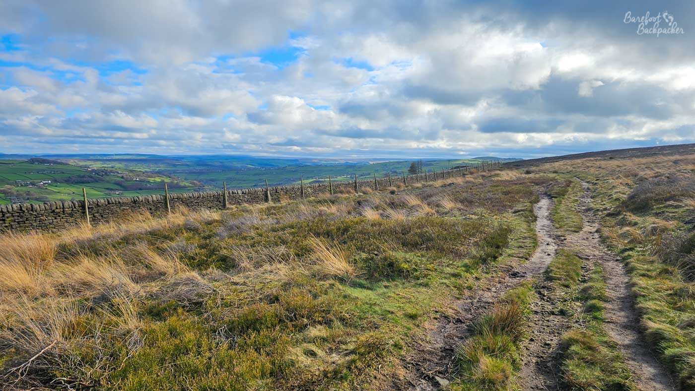
Midgley Moor, in all its, er, ‘glory’. And yes, that *is* the Calderdale Way, defined here more by use than statute.
The path runs along the edge of Midgley Moor for about 7½km; it’s an uneven surface of earth and small boulders, so be careful of your footing here. This part of the path also gets quite muddy. It doesn’t climb onto the top of the moor, so all the way on your right you get views straight across the valley, not just the Calder but also that of the Luddenden Brook. The most notable site is a little further up the hill about 7km from Heptonstall – a large standing stone called Churn Milk Joan, probably erected as a boundary stone at the turn of the 17th Century but about which many folk tales have been told. Its name is said to come from a girl called Joan who died of exposure while fetching milk in a churn. Obviously.
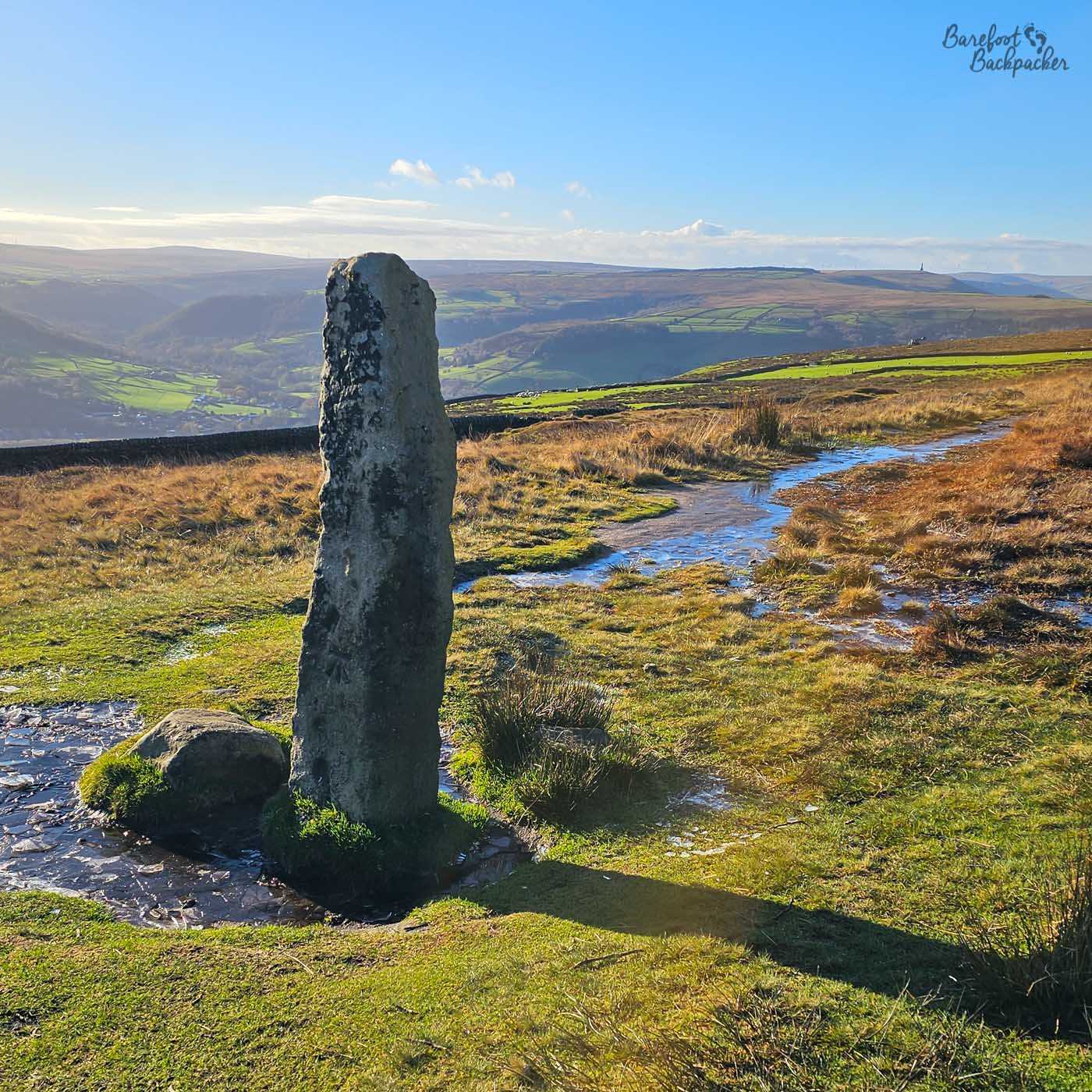
The Churn Milk Joan stone on Midgley Moor.
The path then goes on and off a couple of country lanes, near an alpaca farm, and sharply downhill to pass over the Luddenden Brook at Jerusalem Farm, a campsite and small outward bound centre. Near here too is a small cafe called Bob’s Tea Rooms. Once over the brook the path rises very sharply again, firstly through a woodland, then over another lane and into more open farming county.
Be aware that here there’s a small section (260m-ish) where, after a field of horses, the path climbs sharply again (about 30m), up and over both several uneven boulders and a couple of stiles, in a narrow section hemmed in by barbed wire, the upper part of which on both sides. I don’t like this bit, but it’s not an easy section to avoid. At the top of it though, just after crossing the lane to Wainstalls, is the highest point on the path, at 383m. You may be forgiven for thinking that means it’s downhill all the way from here. It isn’t.
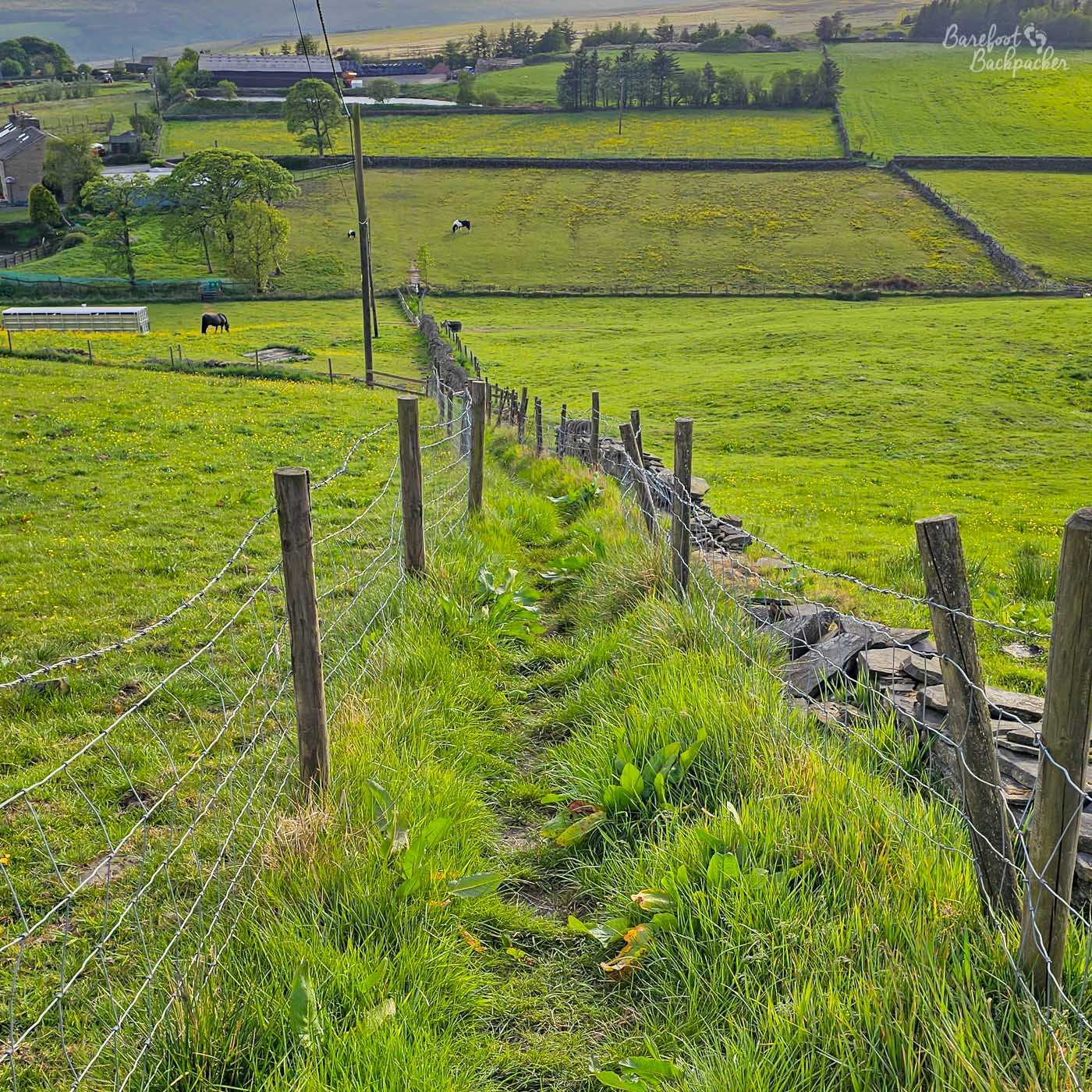
It might not look much from here, but it’s way worse than that. This is looking back; the worst is behind me and yet to come.
The path continues through what is mostly a farming landscape, following stone walls and through gates and stiles, until it reaches the village of Upper Brockholes. This is home to a Methodist Chapel (Mount Zion) that dates from the time of John Wesley himself, although it was substantially rebuilt in 1815. Not far after this, the path crosses the A629, the main road between Halifax and Keighley, just north of the Halifax suburb of Illingworth. There’s not a lot here but it does provide a convenient bus stop back into either of the towns, and there’s a couple of pubs nearby. Because you deserve it.
Section 3: Illingworth – Brighouse (16.85km)
This section is mostly downhill, you may be pleased to know. The main theme is an awareness that Halifax is ‘just over there’, and includes footpaths, farm roads, country lanes, town and village streets, grassy hills, and a short section on a disused railway line. It’s a lot of variety, but not necessarily the most scenic stretch.
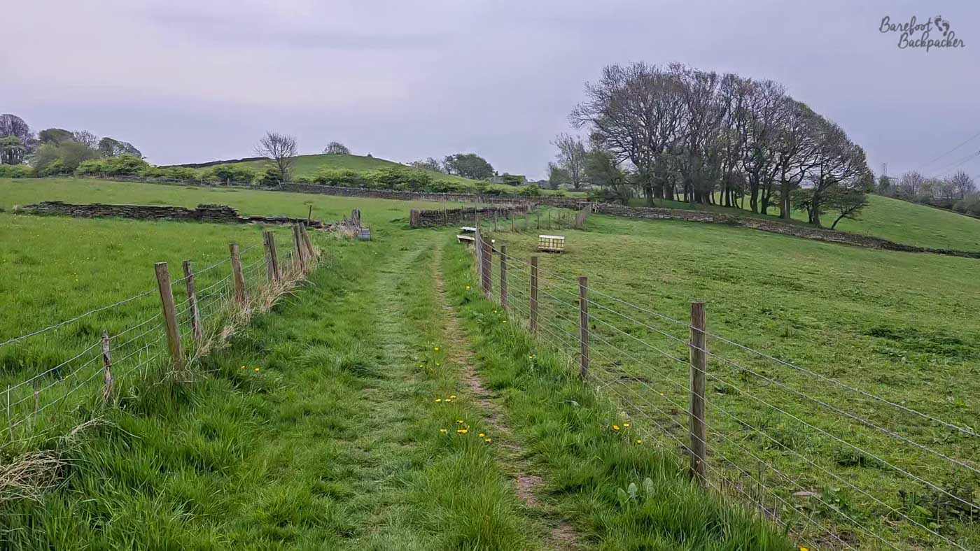
Example of the farmland just east of Illingworth, near the top of the course (figuratively and literally).
At first the route favours narrow paths alongside fields, bounded by stone walls, and it’s all quite pleasant, in an English countryside way. We have very much left the moorlands behind us for a few km. However soon enough you hit the village of Holdsworth and a bit of industry. Oh, and then a sharp uphill followed immediately by a sharp downhill (a gain of 100m and a drop of 170m in the space of just over 2km). Here the path goes past the hamlet of Catherine Slack. Which is not the oddest name on the route by any means. It’s also the closest the path gets to the the Calderdale border; at this point Bradford Borough is the other side of the road, and it stays close until the path reaches Bailiff Bridge.
This part of the path runs through woodland – this is part of the picturesque and wooded Shibden Dale, which eventually passes Shibden Hall. At length, the path reaches the first significant village since Heptonstall – the wonderfully-named Stone Chair. And there is indeed a stone chair the route passes, at a junction with the A644 between Queensbury and Hipperholme. The inscription says it was erected 1737 and re-erected 1891 when the seat seems to have been added. It’s a milestone, and gives directions to Denholme Gate and Brighouse.
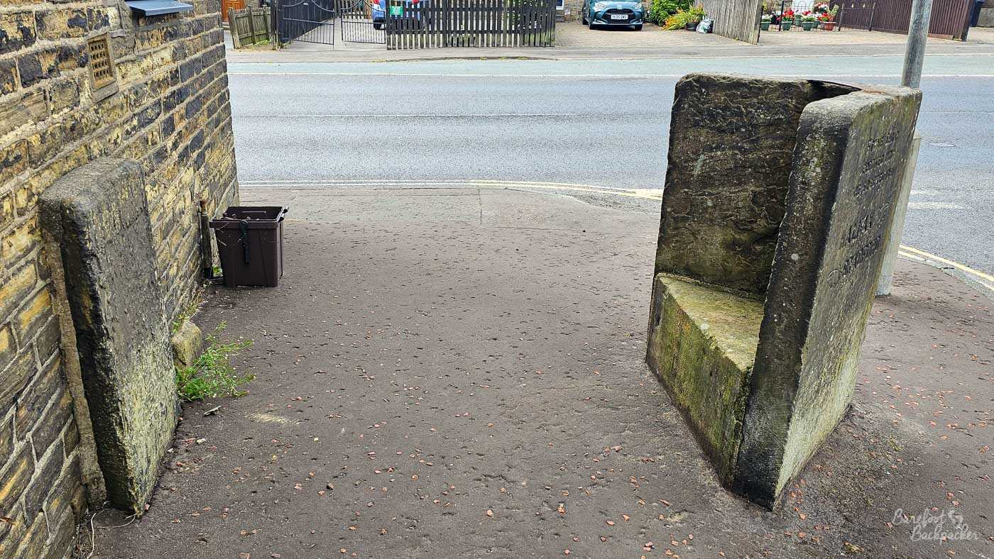
The Stone Chair in, well, Stone Chair. The block on the left is part of the original chair construction.
It’s part of the village of Shelf, named apparently because it’s on a piece of flat land. From here to Bailiff Bridge (about 4½km) the path drops about 160m. Not far after Shelf though, it crosses over Kester Hole Waterfall, a nice spot for a rest. This part of the route is shared with the Brontë Way, a little shorter than the Calderdale way, and runs from Birstall (on the way to Leeds) to Padiham (just west of Burnley). You can guess where else it goes.
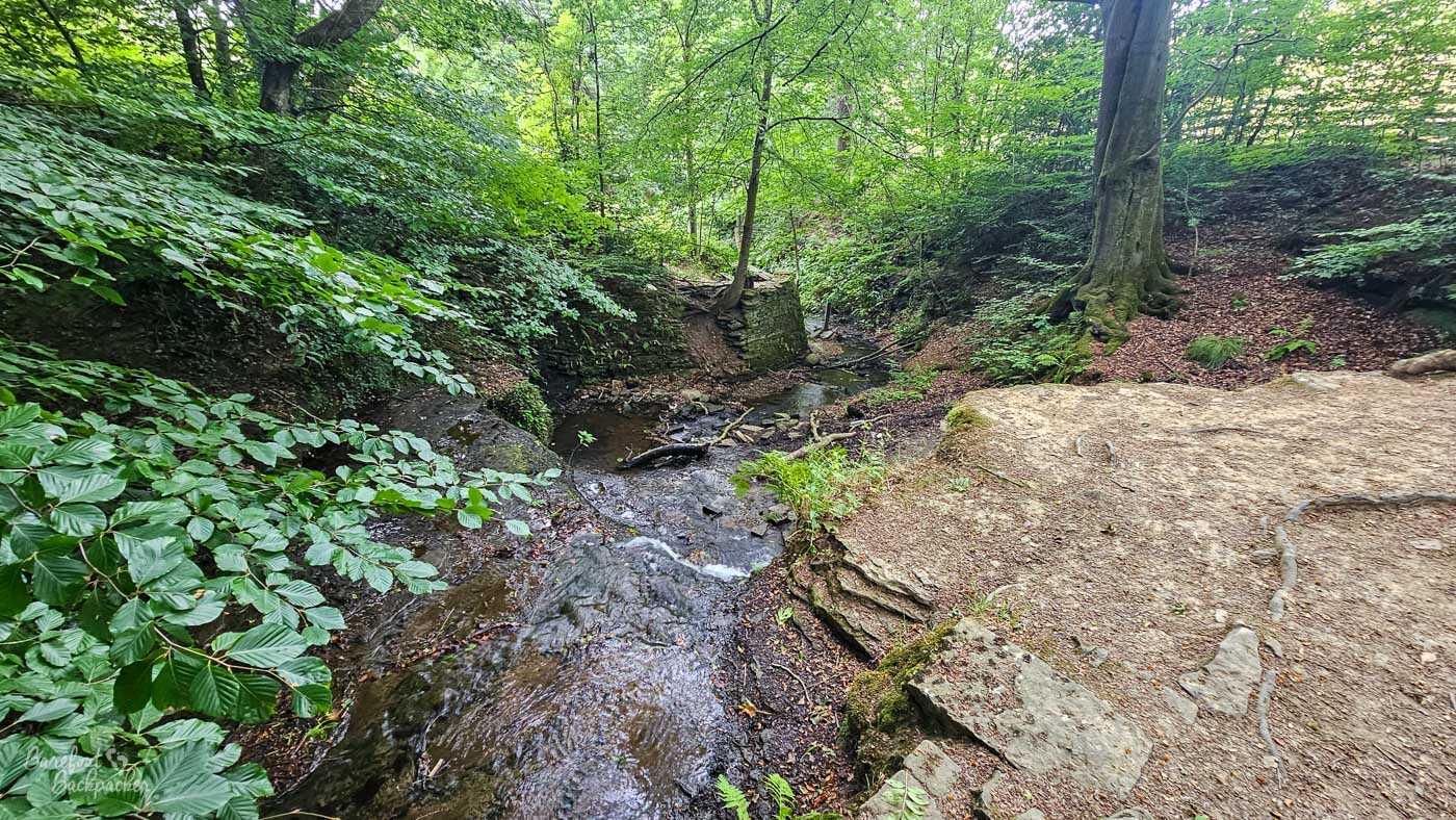
Kester Hole Waterfall, taken fron the small wooden slatted bridge over the stream. Not pictured: the very steep flight of steps beyond it.
After Norwood Green, the path crosses the busy A58 road and not at a designated crossing, so be careful, before heading over rough fields into Bailiff Bridge, a town most famous for being the home of mid ’00s pop band Embrace. It then potters about down a country lane, past old stone farm cottages, and across wide fields with views down over Brighouse. This is roughly where I tripped up on my Ultra and did myself an injury. On the way into Brighouse itself it then picks up the trackbed of an old railway line. Possibly. In fact the trail is a bit vague here; there’s a number of competing paths either through the woods or down lanes, but they all get to the same place in the end.
Brighouse, at 55m, marks the lowest point of the route. This is where we meet the River Calder for the first time since Todmorden; it’s considerably wider here. Brighouse is also a convenient spot to rest; there’s several pubs and supermarkets, and a multitude of buses and trains to places like Leeds, Manchester, and Huddersfield. And Todmorden, obviously.
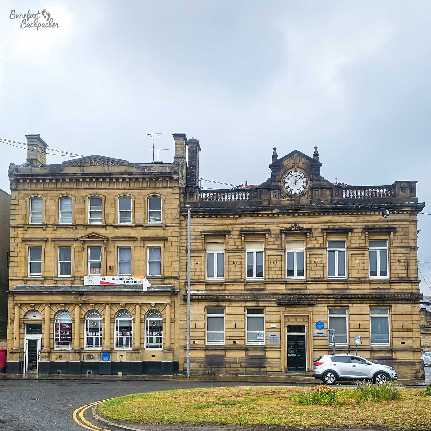
It’s telling that I’ve been to Brighouse a handful of times but don’t seem to have taken many decent pictures. This is the old town hall, now apparently a dental clinic.
As I said above, some people prefer to start their Calderdale Way adventure here. It and Todmorden are at opposite ends of both the path and Calderdale in general, and the largest towns the path passes through, but I just prefer Todmorden. That’s not to say Brighouse isn’t interesting of course; continuing the music theme, it’s noted for the famous ‘Brighouse and Rastrick Brass Band’, regarded as one of the best brass bands in the world and who even had a UK no.2 hit in 1977.
Section 4: Brighouse – Ripponden (16.3km)
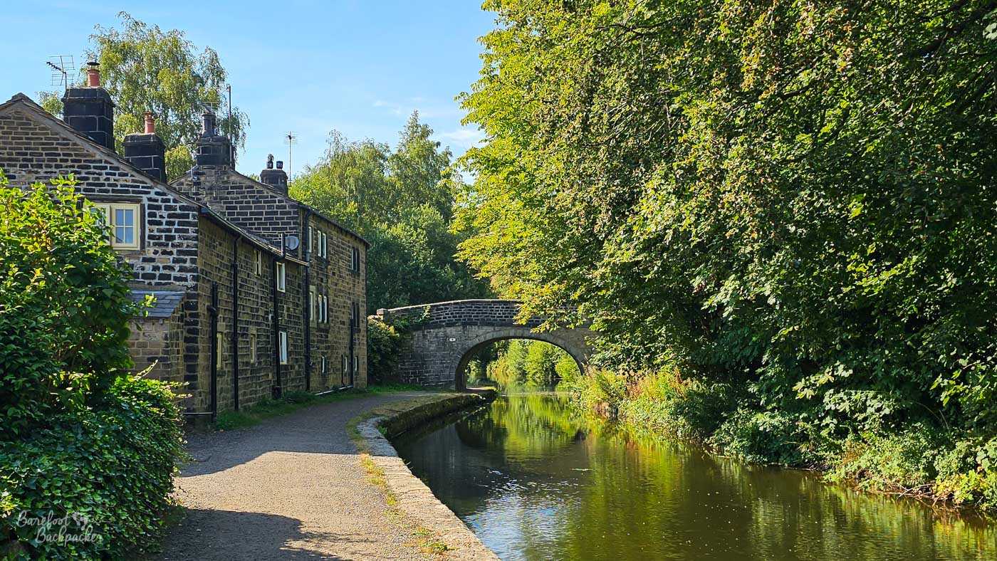
This section of the route has a couple of steep sections, some nice woodland, and a really awful road junction. It starts, though, with about a 1½km stretch along the Calder and Hebble Navigation. This canal, by the way, meets the Rochdale Canal end-on in Sowerby Bridge, 10½km distant; this latter canal provides a far easier, flatter, and shorter, way of getting from here to Todmorden, 16km further on still. But what would be the fun in that?!
At Camms Mill Bridge (the official start of the 30 mile version of the Calderdale Way Ultra), the path turns off and goes up through two areas of woodland (Freeman’s Wood and Cromwell Wood), separated by a field of sheep where its easy to miss the path. In Spring, these woods are wild with bluebells, which takes your mind off how steep the walk is.

Bluebells on the hill up from Brighouse.
At the top of the second, longer, wooded section the path bears left, into the village of Southowram. For the next mile or so, you’re walking along pavements next to quite used roads. Southowram itself has a couple of nice buildings, and a large set of stocks that would be still usable if behind them wasn’t so overgrown and littered. The road out of the village then goes down quite a steep section with views over Halifax and the wider Calder Valley.
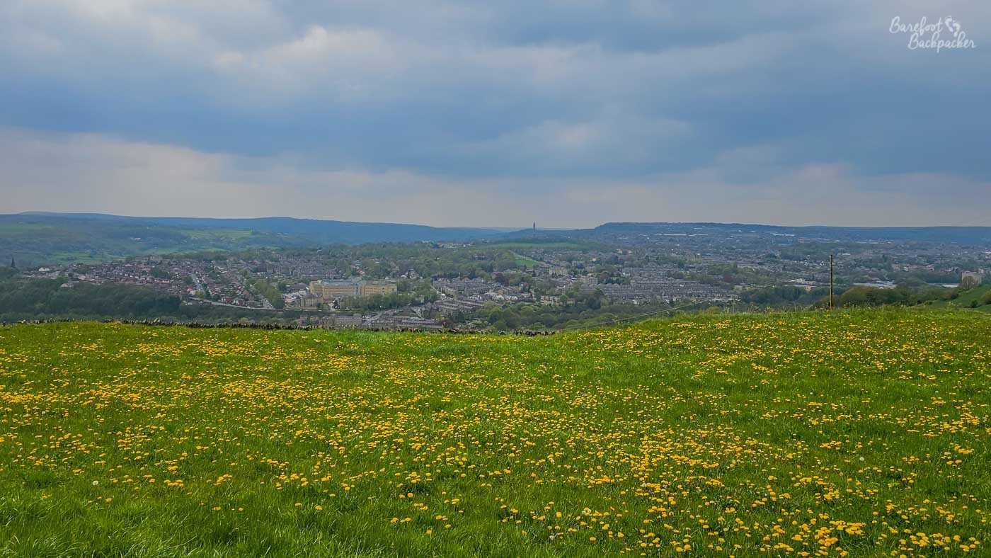
The view from the hill just below Southowram, looking out across Halifax and Sowerby Bridge.
Where the road bends to the right, the path takes a left. Importantly, it then immediately takes a right. I did not do this when I did the Ultra, which is why I ended up in Elland, adding almost three miles to my run. The actual path takes you down past a couple of farms, through the hamlet of Siddal, then into another piece of woodland before dumping you out onto the A629 again. This time though it is a very busy road running between Halifax and Huddersfield, and traffic is fast. Somehow you have to cross this road, then the canal, and finally a second busy road (B6112) that you then walk along to get into West Vale, and the official start of the route. Weird place to begin, if you ask me.
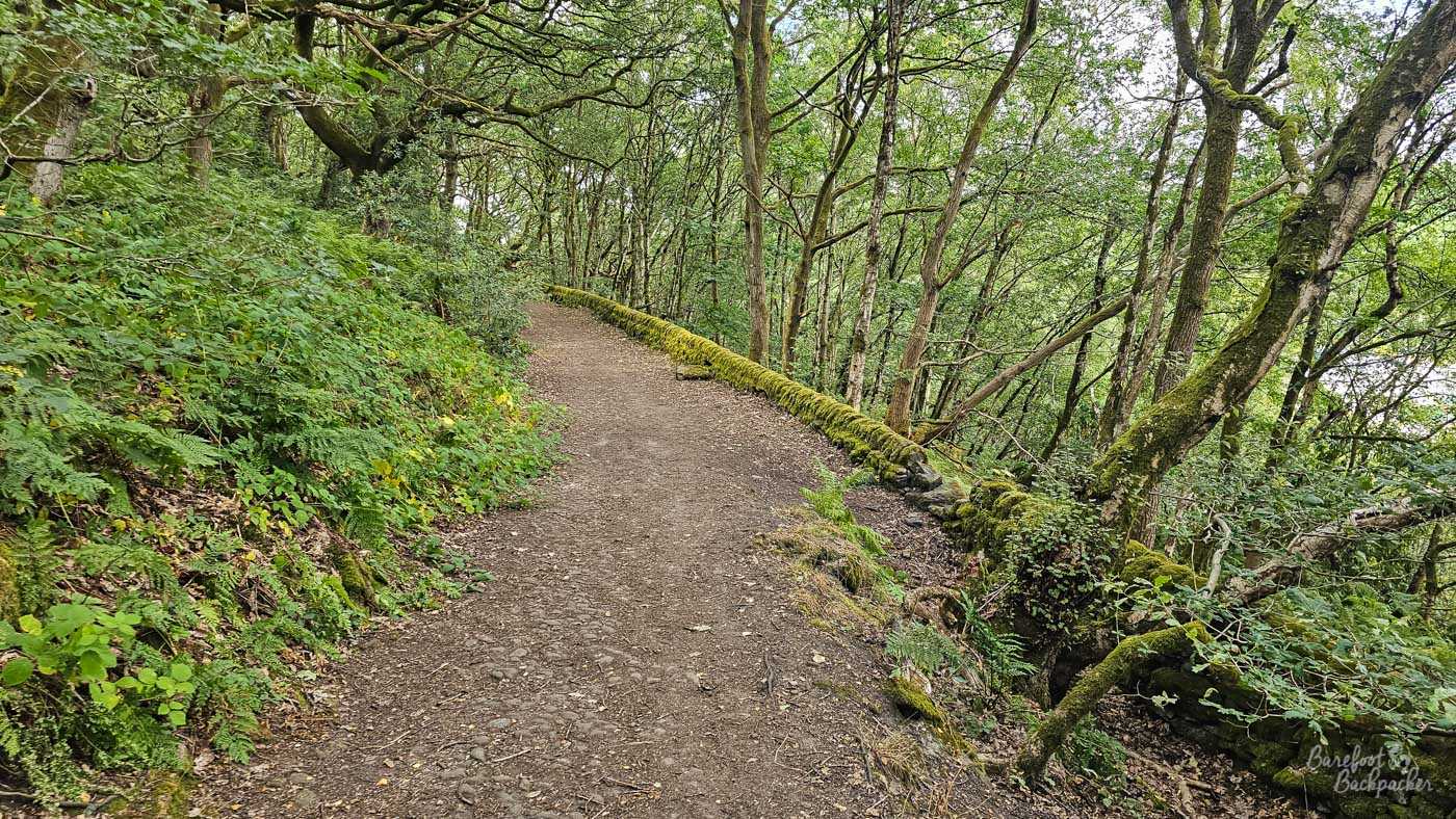
Woodland above West Vale, which would have been nice to wander up on the Ultra, but I went through the village instead.
Another long climb through a small woodland (which it turns out I didn’t do when I did the Ultra (mistake five, I think!), gets you to a fairly flat section along the edge of North Dean Wood, with open fields to the left. After maybe a mile, you pass through a farm, before heading back into the moors for the last few km until Ripponden. Norland Moor is a bit of a mishmash of boundary posts and footpaths criss-crossing, and the Calderdale Way itself takes a few turns, so just keep an eye out and don’t get lost. I mean it’s not that big a moor and the worst you can do is reach a road that takes you to Greetland or Sowerby Bridge, but both are a bit of a detour.
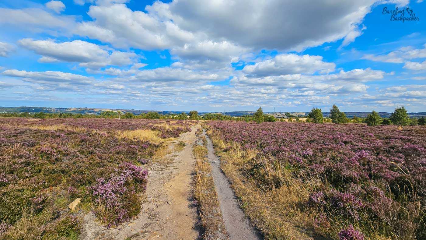
Norland Moor. Lovely if you like purple.
The last mile or so takes you along an arrow-straight farm road, before a right turn into Ripponden village, passing by the pretty St Barts Church and through some picturesque buildings and pubs. From here it’s an easy and regular bus ride into Sowerby Bridge and Halifax, both of which have good bus and train connections elsewhere. And of course, decent pubs to rest your weary soles – here’s those in Sowerby Bridge, while here’s some of my favourites in Halifax.
Section 5: Ripponden – Todmorden (17.3km)
This section is mostly about the moorland. There’s a few meanders through farming country and a couple of cute hamlets, but over half the route is a more-or-less straight path to Todmorden over the moors. Despite this, it doesn’t feel as onerous or strenuous as you’d imagine – going clockwise the ascents are much more manageable than the descents.
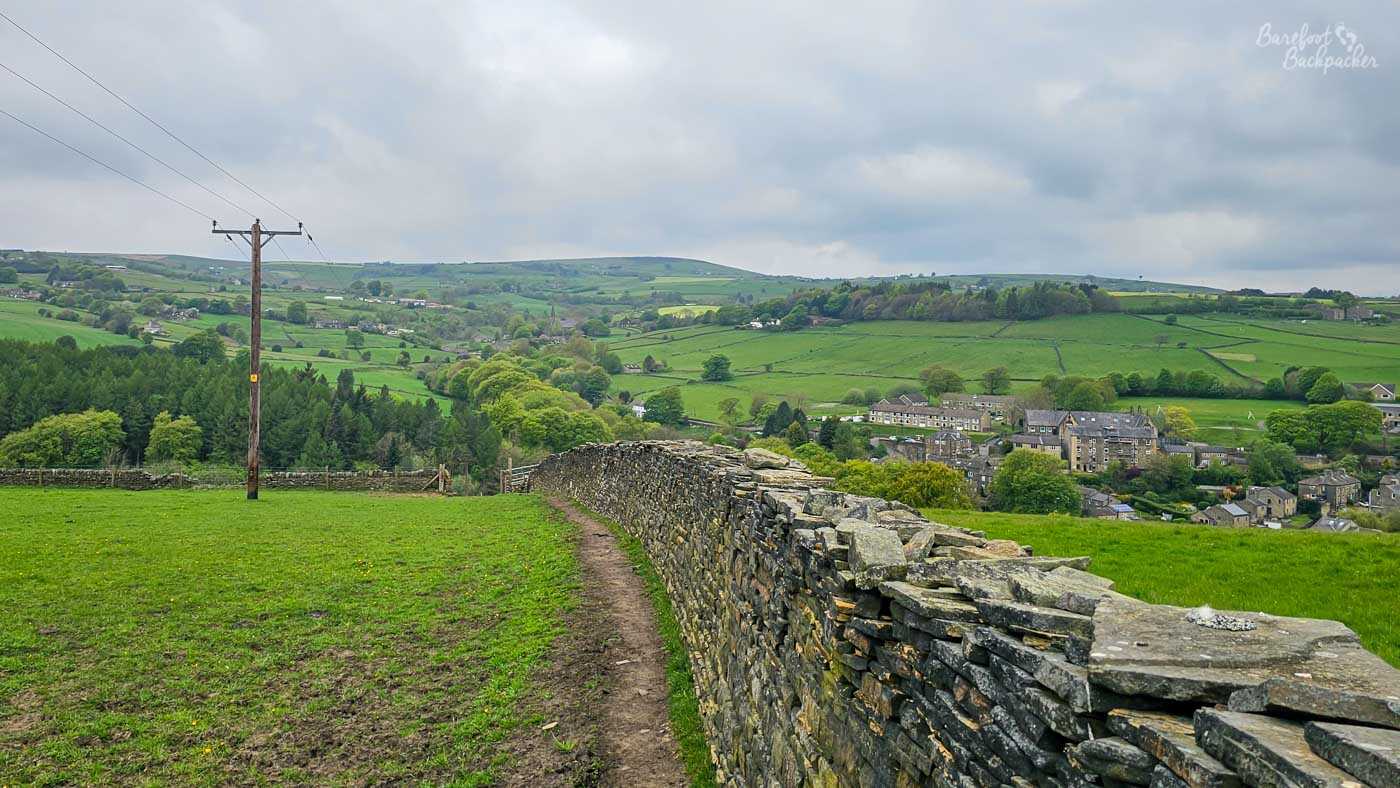
Farmland, with Mill Bank just in the valley on the right.
There’s a few short sharp slopes out of Ripponden; steep but not terribly long, that cross the valleys and streams in the area. One of them accesses the pretty hamlet of Mill Bank, straddling Severhills Clough, with some very picture-perfect cottages and an old water mill. The path up from here is another of those with bluebells in the spring.
Beyond here, past a Christmas Tree farm, the path hits a small section of open moorland, and goes past a series of weird ruins. This is the site of the Starfish Decoy Bunker. Back in World War Two, some buildings were constructed here, with lights, to fool enemy aircraft to drop their bombs on them rather than the more important towns around. There’s no evidence that it worked, but also no evidence that it *didn’t* work, either.
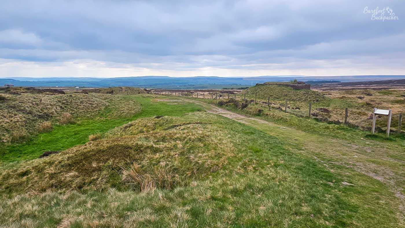
What remains of the Starfish Decoy installation. I don’t know if there was ever much here to begin with.
After a long straight bridleway, and then a stumble past a couple more farms, there’s a slightly precarious steeply-stepped path down to Cragg Vale. This is notable for two reasons – this was where the Cragg Vale Coiners came from, and, the road through the vale from Mytholmroyd to Blackstone Edge Reservoir is, at just under 9½km, the longest continually uphill (or downhill) road in the country. It’s been used in a couple of cycling races.
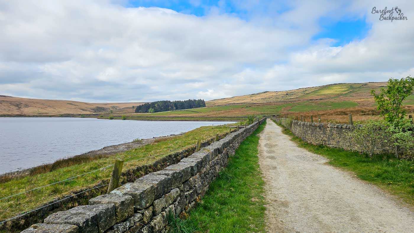
The path alongside Withens Clough Reservoir. It’s a long climb to get here, but quite a shallow one. I stopped for lunch.
Beyond Cragg Vale, the Calderdale Way goes gradually uphill, firstly past Withens Clough reservoir (built in the 1890s on the site of the old Withens village), and then, meandering across Withens Moor through the so-called Withens Gate, past a Te Deum stone. The route across the moor here was an old coffin-road, and these stones were resting-points for the coffin-bearers; its name means ‘Oh Lord’ and is a shortened form of ‘Te Deum Laudamus’ (we praise you, lord). The landscape here is quite open and wild, with nary a farm to be seen.

‘Withens Gate’ refers to the mountain pass, but this is the ‘literal’ gate. On the right there’s the Te Deum stone – it’s smaller than you might expect.
Stoodley Pike, a waypoint on the horizon along much of the path, is close by here, but the Calderdale Way doesn’t pass by it, rather its accessible via a crossroads with the Pennine Way a little to the south of it. Instead, the path goes down a steep, stepped, incline (170m in 1½km) with views across well into Lancashire, and passes through the villages of Mankinholes and Lumbutts, two more of the finest names in this part of Yorkshire. Neither appear in my dictionary of English place-names, though the former is believed to refer to nearby caves, while ‘Lumb’ is a common prefix in the area and means ‘pool’.
Part of this section is also shared with the Pennine Bridleway, a long-distance easy-going National Trail that runs from Derbyshire to Cumbria, at times shadowing the Pennine Way, but much less hassle-some.
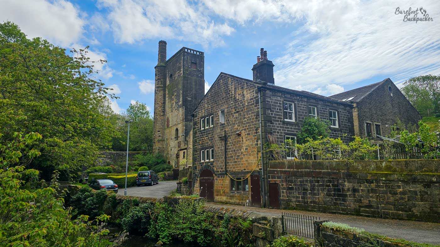
The old water mill tower and associated cottage in Lunbutts. Now housing. Probably worth a fortune.
There’s only a couple of km left of the route now, and, after twisting around a large horse centre, the path reaches a road and descends sharply around the old Unitarian Church before popping out back into Todmorden by a bridge over the canal and, conveniently, the Golden Lion pub.
Summary
The Calderdale Way is an interestingly varied long-distance footpath, with easy access to towns and facilities at many stops. It’s not an easy hike – pound-for-pound it has more of an ascent than the Pennine Way – and I’d suggest it’s probably not one to do if you’re looking for your first multi-day hike in England. For that I’d recommend something like the Norfolk Coastal Path; a little longer but considerably less strenuous. However once you’ve got your hiking legs attuned, it’s a marvellous route that showcases this part of West Yorkshire and demonstrates how rural it is.