The Rochdale Canal, as the name implies, connects Rochdale, a notable cotton and woollen processing centre, with Manchester (and therefore the sea), and Sowerby Bridge in Yorkshire which, during the Industrial Revolution, was a major manufacturer of both woollen textiles and engineering goods. It’s defined as a Broad canal, which means it can handle traffic that’s 14 feet (4.3 m) wide, and it was opened to traffic in 1804. It seems to have made a profit until shortly after World War 1. It closed in 1952, and bits of it were severed by subsequent road-building, but campaigning in the 1970s and 1980s led to it being refurbished and reopened in stages for pleasure craft; its length was fully restored in 2002. It now forms part of the so-called Pennine Ring – three canals that cross the Pennines between Lancashire and Leeds, the other two being the narrower Ashton/Huddersfield Canals, and the longer Leeds & Liverpool Canal.
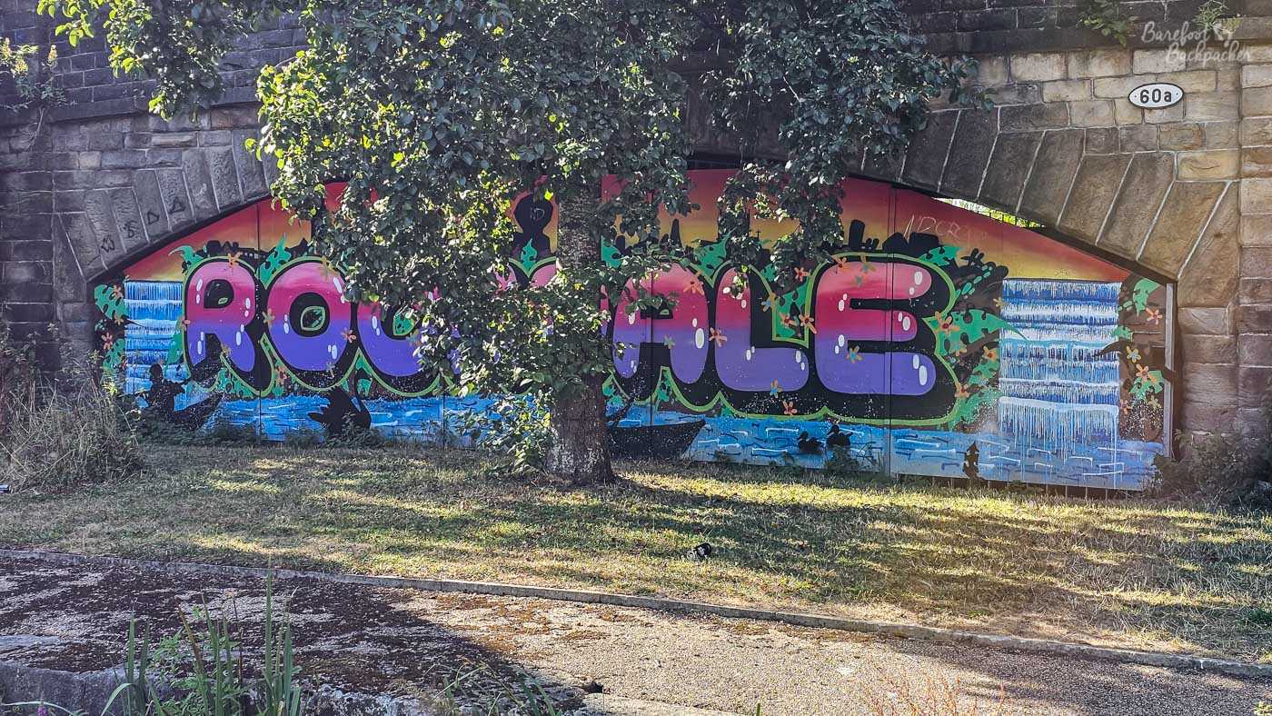
Just to let you know where you are. I’m not saying it’s the most colourful thing in Rochdale. Everywhere Is Interesting …
One thing that sets it apart from the other two is a lack of tunnels in the Pennine stretch. This has the advantage of being prettier, and it means you can walk along the towpath for its entire length. The disadvantage, certainly from a canal boating point of view, is it means far more locks to navigate, and thus more inclines and declines as a walker.
The Rochdale canal starts at Ancoats Basin, to the east of Manchester city centre, where it joins the Ashton Canal; I mean, technically, it starts at Bridgwater Basin near Deansgate railway station, where it joins the Bridgwater Canal, but that first kilometre is a mishmash of towpath and diversion; over half it can’t be walked anyway due to locks and tunnels under private buildings, so instead you have to take the roads alongside, especially through the Gay Village. It’s approximately 50.9km from Ancoats to Sowerby Bridge, and that covers 83 locks and more bridges than the bridge count suggests.
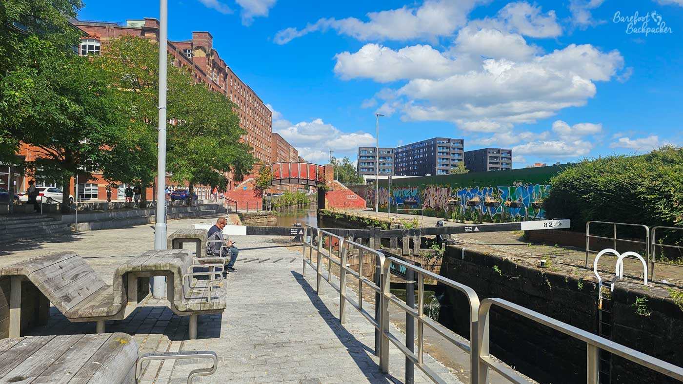
Ancoats Basin, in Manchester, or at least close to it.
Both the locks and the bridges are numbered from Sowerby Bridge, which is the designated ‘start’ of the canal. However, I’ve chosen to write this blog based on walking west-east, partly because you’re more likely to start early-morning in Manchester, and partly because the 7km from Ancoats to Failsworth aren’t particularly nice so it’s best to do that section when you’re fast and refreshed. Maybe. That said, you do walk past Cask, at Ancoats Basin, which is a good place to recover!
Manchester – Rochdale (19.56 km)
When I lived in Salford, I did quite a few canal walks. When I was writing this blog post, I knew I’d walked that first section to Failsworth before, and I searched my picture directory to see what I had, and whether I needed to walk it again. After an hour or so, I realised that, while I had walked it, I’d taken precisely five (5) pictures in that 7km, two of them of graffiti, and one of the other three of a bridge in central Manchester that was no longer accessible. Evidently Past Me had decided this section wasn’t terribly aesthetic,
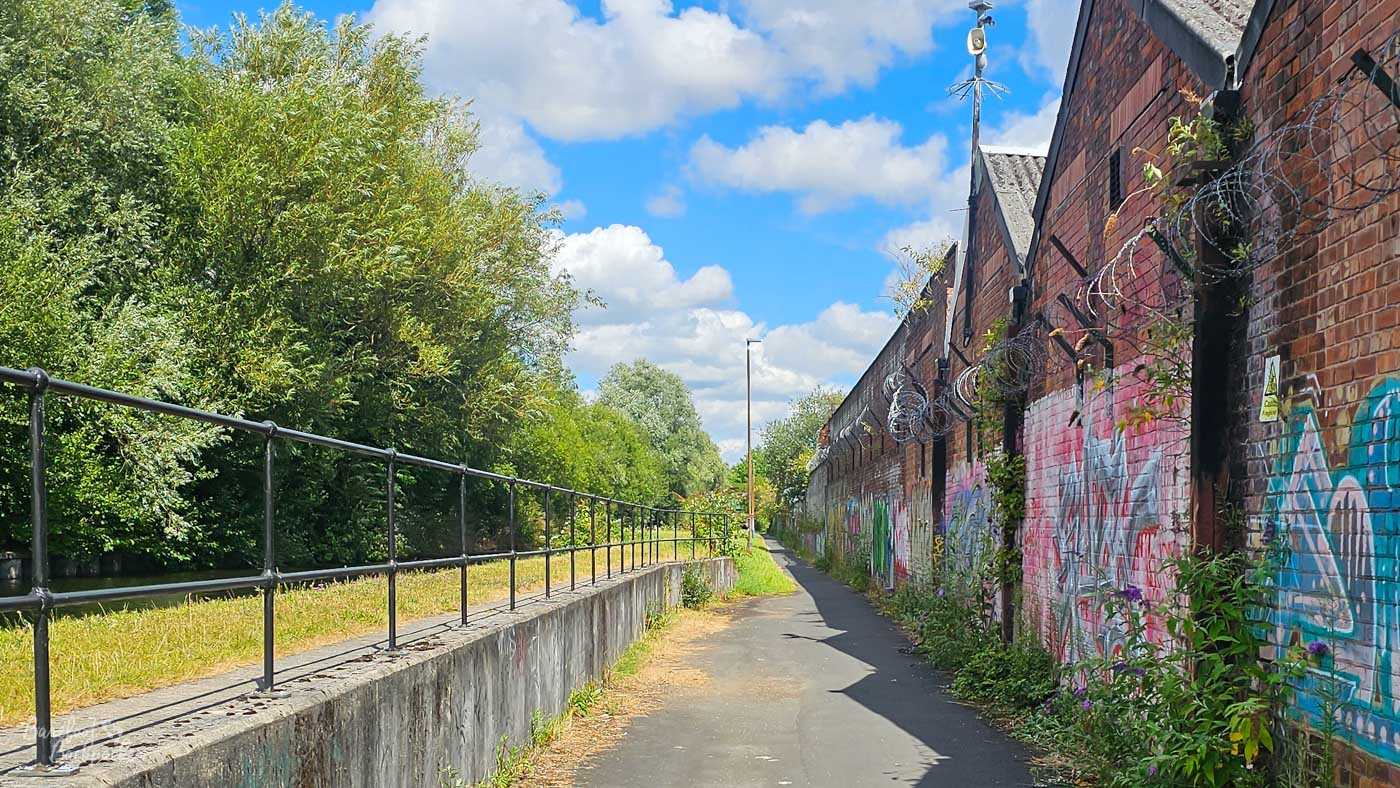
Somewhere near Miles Platting or Newton Heath. This is as pretty as it gets.
To be fair, they were right. After a short section past some gentrifying old warehouses, the canal takes a more-or-less straight routing through Miles Platting and Newton Heath in east Manchester, past council estates, industrial zones, and wasteland where industry *was* but nothing has yet replaced it. This is the stretch of derelict warehouses, high concrete walls, identikit 70s/80s low-rise cheap housing, and barbed wire. At one point there’s markings every 100m; designed for athletes training but maybe it’s just a way to track how long you need to walk to get through this wasteland.
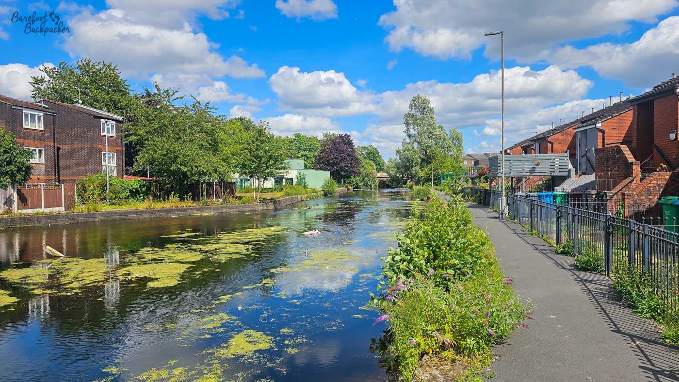
Canalside housing on the way into Failsworth.
This continues until you reach Failsworth, about 7km out of town; a convenient stopping point with a supermarket and other refreshment options, and a tram station. The canal then takes a sharp left turn, goes under a bridge, and …
… everything changes. Suddenly the urban world feels far behind, and the canal is lined with trees rather than austere walls.
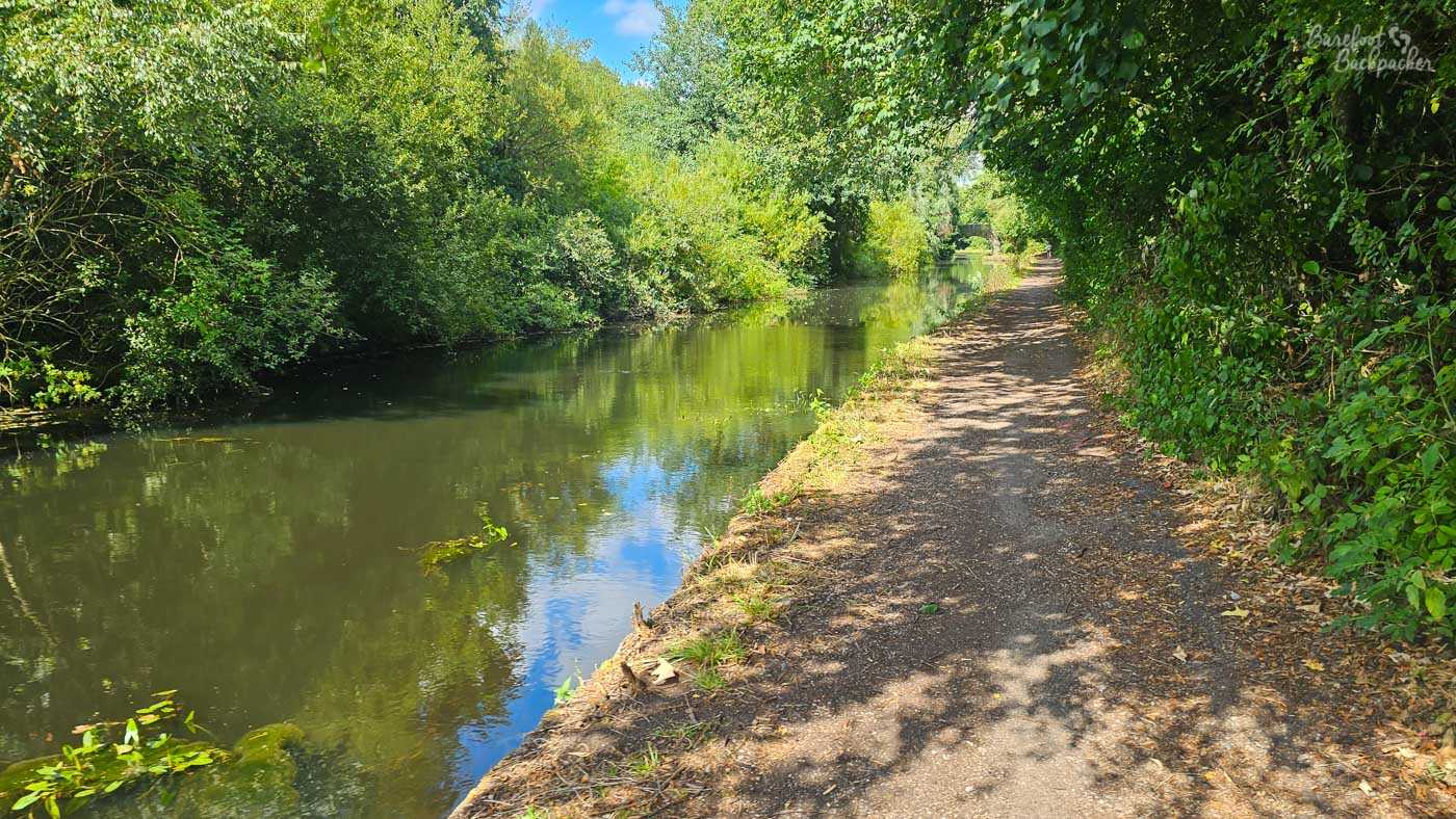
The view almost immediately after going under the bridge after Failsworth.
It’s not quite open fields and woodlands yet though, as shortly after you reach the M60 motorway, and a slightly realigned canal means you need to take busy roads and an ugly footbridge while the canal disappears into a tunnel. Chilled service resumes the other side, along with a useful JW Lees pub (so decent beer), the Boat & Horses, which served as a useful place to have a refreshing lime&soda – it was a hotter afternoon than the morning suggested on my recon walk.
If you look on a map, you’d think the section after the pub, up to Middleton, would be quite built-up. But when you’re walking along the canal, the trees pretty much hide most of it so it really does feel like you’re walking between country villages rather than through the second-most populous urban area in the country. The roads nearby feel more like country lanes than busy highways, and at no point do you have the sense that this is metropolitan. Even when the canal crosses a road, it’s generally on a small unobtrusive bridge rather than a large 1970s flyover.
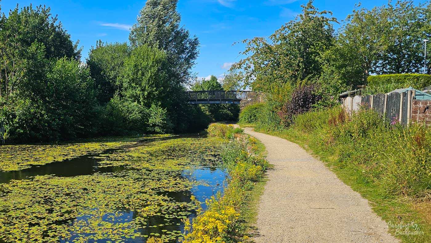
Typical canal view in the Middleton area.
Indeed at some points it feels like you’re wandering through a stereotypical lower-England countryside rather than the outskirts of a large Northern city. Fields stretch into the distance, met by distant hills. Trees, rather than lampposts, are the tallest things around. And even when the canal kisses the railway line, it’s done with a gentle closeness rather than a graffiti-laden snog.
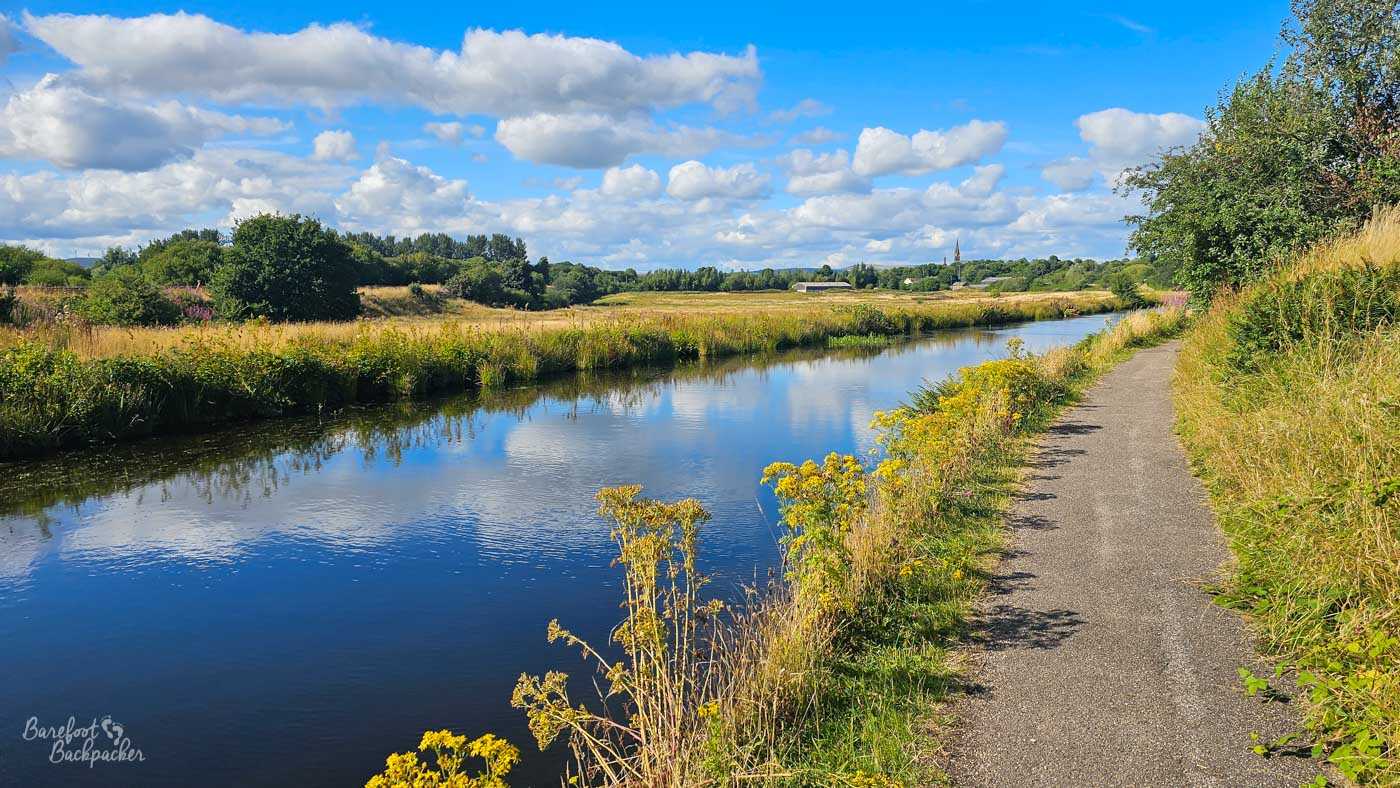
The canal on the approaches to Castleton.
After some length of peaceful solitude, the canal passes under the M62 motorway, and heads towards Castleton and Rochdale. But even that doesn’t feel too intrusive; Castleton’s church stands like a village icon and the motorway itself is gone as suddenly as it arrives. It’s only in the run-up to Rochdale itself that you’re reminded that civilisation exists, and that’s largely only because the by-pass has disrupted the canal so the towpath ends and you need to walk through a commercial park for a few hundred metres. Once you reconnect with the canal, the walk into what is almost the centre of Rochdale is a quiet stretch covered with trees and lined only with teenagers going fishing, A short stretch in Castleton with old warehouses and a couple of derelict blocks is the only dour stretch.
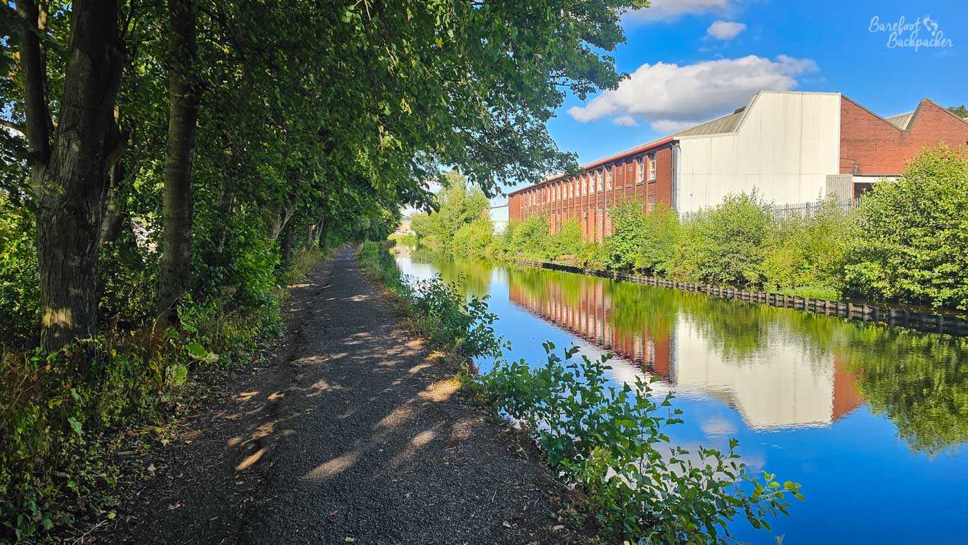
The section on the run-in to Rochdale. Still leafy, despite the growing presence of industry.
There’s not a lot at the Rochdale turn-off – a curled stone bridge over the main line, with a short stretch of canal that ends at a wall being all that remains of the branch into Rochdale town centre. This was closed along with the rest of the canal in 1952, but in truth had been mostly abandoned at that point for thirty years; unlike the rest of the canal it was quickly filled-in and built over. The railway station is only a couple of blocks further north from here, although there’s not a heck of a lot else around here other than industry and a few houses. It’s not the most aesthetic stopping-off point, but honestly, it could be a heck of a lot worse.
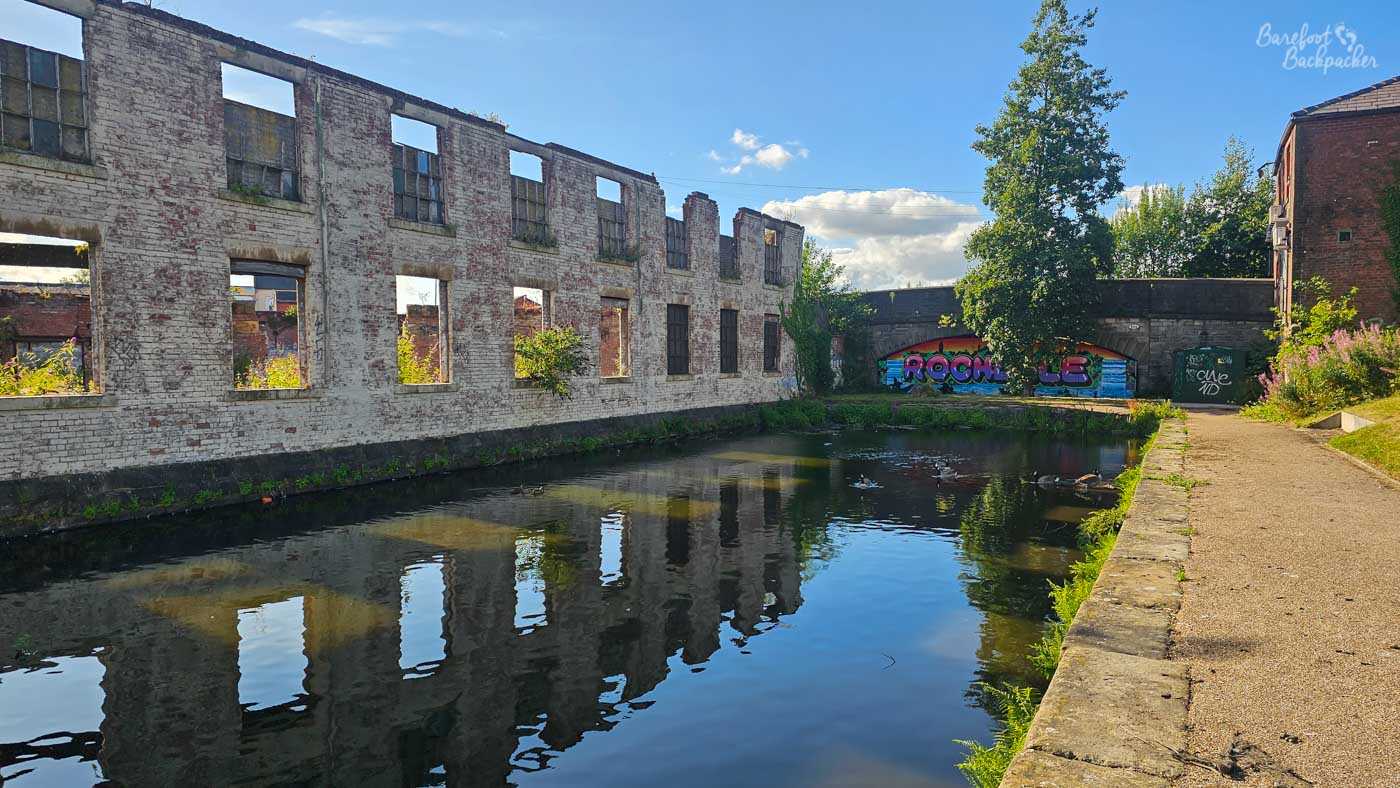
Rochdale Canal Basin, or at least what’s left of it.
Rochdale – Todmorden (15.09 km)
Despite circling around the South-Eastern part of Rochdale, nowhere near as much of the first 3km are as urban and industrial as you might expect. There’s the odd bit of barbed-wire-topped wall, but mostly it’s quite green. On my most recent trip, indeed, the canal itself looked quite ‘reedy’
The other thing to note about the walk until you reach Littleborough is it’s pretty flat. There’s nary a lock to be seen on this section; it’s all about the canal going more-or-less straight, tracking the railway line, and headlong for the distant hills. Along the way you pass Clegg Hall, a manor house dating from 1610 and recently refurbished from an at-risk state; it’d be a great place to sit and watch the world go by, but I’d imagine there’s cheaper places in Rochdale Borough to maintain and heat.
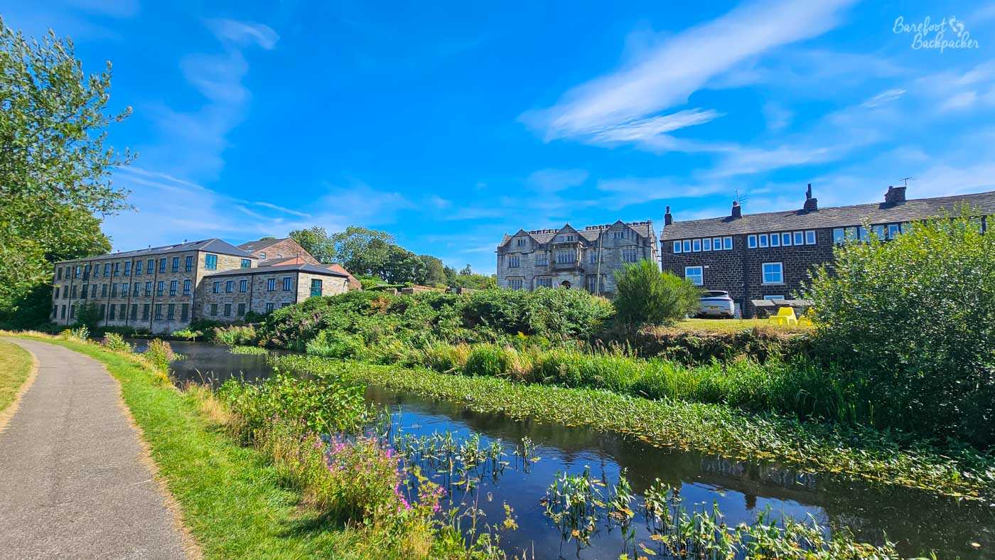
Clegg Hall (centre), located just off the canal.
In Littleborough the canal turns into a roadside pavement past the railway station, which makes it a useful transit point, although in truth there’s not a lot *in* Littleborough to warrant more than a pit-stop. It’d be a great place to live, I think, though, as it’s a really convenient place to get to by public transport and yet the hills and moorlands are right there. And it’s prettier than Stalybridge, even if Stalybridge has more pubs.
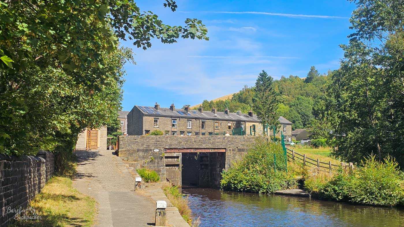
Canal lock and bridge on the eastern side of Littleborough, just as the canal starts to rise.
From Littleborough, the halfway point to Sowerby Bridge is passed and unacknowledged, the land rises quite quickly, and locks become legion. It’s not actually that far from here to Summit, the highest point of the Rochdale Canal, but this whole section would be slow-going for canal boats. In 2.4km the canal rises about 30m, and traverses twelve locks. Compare that with the section from Rochdale to Littleborough, which is 5.5km and contains precisely two.
The Summit is bookended by two locks – West Summit and, perhaps surprisingly, not East Summit but Longlees Lock – with a lengthier flat section between them than you might expect (about 1.2km of what feels like quite empty land, or would be if the road wasn’t just off to the left). West Summit is home to the Summit Pub, which may or may not be open when you pass; at the time of blogging it was, but it had been closed for at least a year prior. The actual ‘summit’ of the canal advertises itself as being the highest point on the entire British Broad Canal network (600ft, or about 183m), although presumably this is because other canals cross the peakiest part of the South Pennines in tunnels.
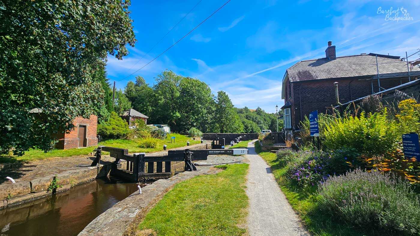
West Summit lock; the transitory Summit Pub is off to the right.
The lock at what isn’t East Summit – well, geographically North as the canal turns pretty much due north between Littleborough and Todmorden – also sees the modern boundary between what-used-to-be-Lancashire and what-used-to-be-Yorkshire, as Rochdale Borough turns into Calderdale Borough. Perhaps unrelated, this is also the site of the first metal milestone erected on the canal; these are present every mile from now to Sowerby Bridge but completely absent on the Manchester side.
The scenery in this section is largely ‘there are steep and big hills here and we’re avoiding them’; its not as remote as you might imagine but that’s because the canal, the main road, and the railway all make their way to Todmorden along the valleys – the River Roch south of Summit, and Walsden Water north of it. The railway makes its way through the Summit Tunnel which, at 2.6km, was the longest tunnel in the world when it was opened in 1841 – probably not much competition, in all honesty. It was also the location of the largest underground railway fire in the UK when, in December 1984, a train carrying petroleum products derailed inside it, and the resulting leak caused explosions and the ventilation shafts to channel fire plumes up to 150m into the sky. That must have been a fearful sight in the depths of Winter. But still, no-one died, and there was almost no damage to the tunnel itself. It was fine.
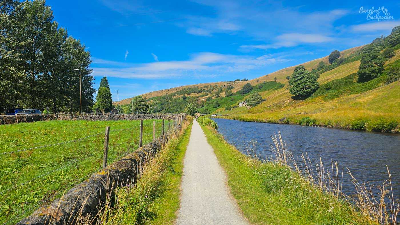
View when the Canal crosses the Summit plateau. Lonely, and yet absolutely not.
Longlees Lock is only 5km from Todmorden and the canal descends quite rapidly – about 47m and 19 locks. Halfway along it reaches the small town of Walsden, notable for a church whose spire is quite distinctive from a distance, The last section into Todmorden feels urban, but in a ‘linear village’ sense; the houses and industrial buildings are mostly country stone, and regardless of the immediate environment, the empty hills are clearly visible. These may be urban roads but they’re very small compared with the surroundings,
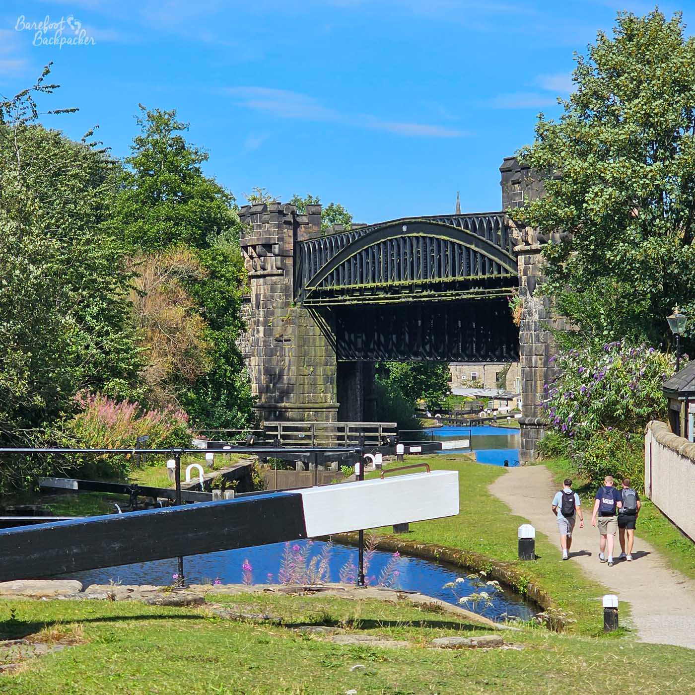
The Gauxholme Viaduct is quite hard to photograph effectively, but here we go.
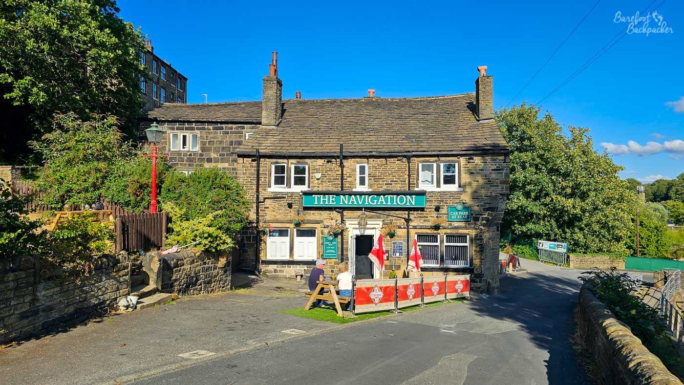
The last km into Todmorden passes under the Gauxholme Viaduct (best seen walking southbound, if we’re being honest), a Grade II Listed structure from 1840 that carries the railway into town, and then under a bridge that carries The Calderdale Way footpath. Finally the canal bends to the right, alongside a large distinctive brick wall that seems to be more famous on Instagram than it has any right to be, then passes straight under the main Todmorden-Rochdale road, past the Nan Moor pub. It, and other places to refresh yourself in Todmorden, are noted on this post.
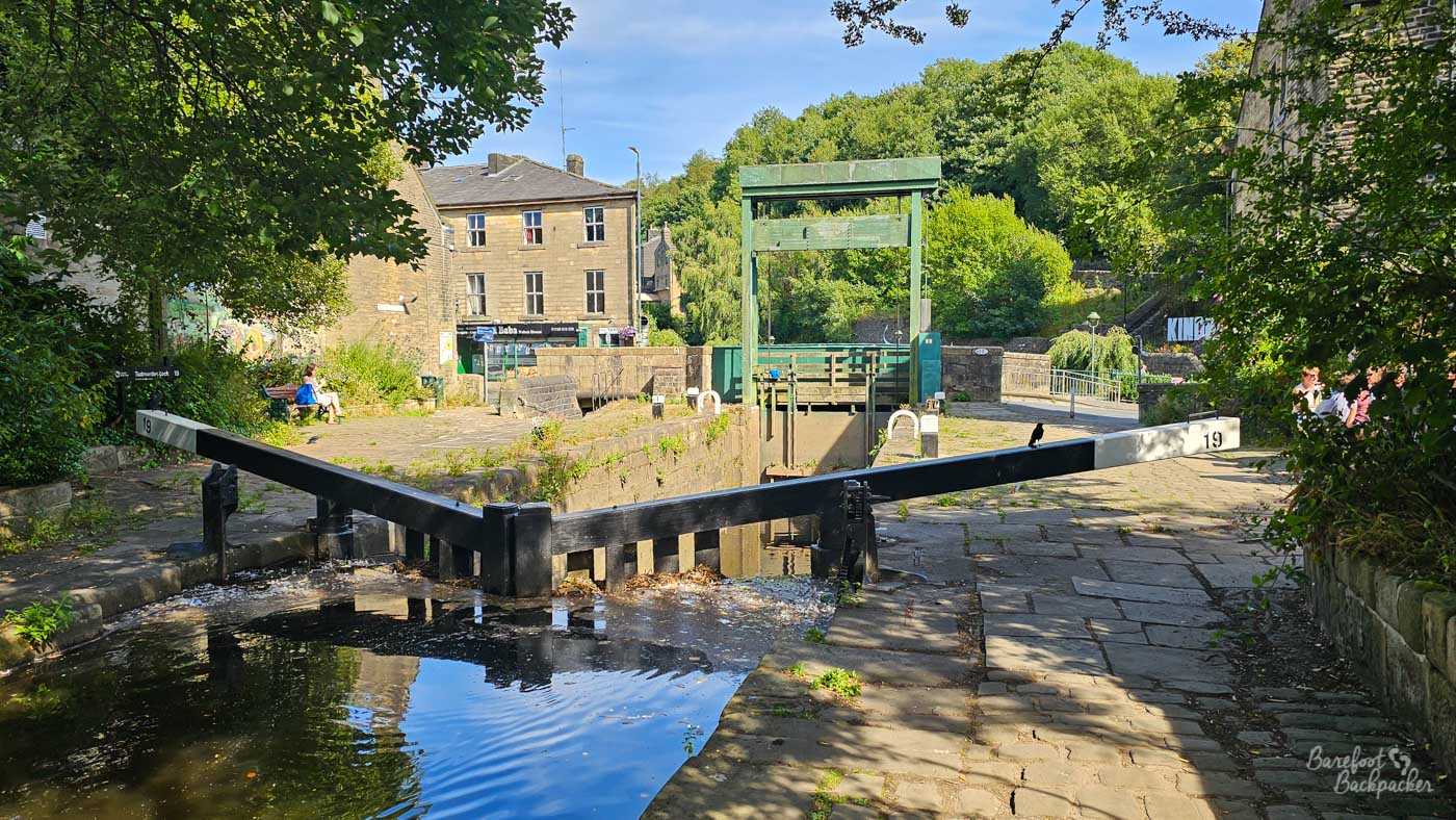
The lock in the centre of Todmorden. The Nan Moor pub is on the right.
Todmorden – Sowerby Bridge (16.23 km)
If I’m going to define this section in one word, that word would be ‘woodland’. The majority of this section is hidden under trees, with occasional glimpses of the Calder Valley and the hills beyond. It’s also mostly flat, with only a handful of locks to wander down.
Todmorden is the largest place on the canal after Rochdale, and it’s a very compact town on what used to be (until 1888) the border between Lancashire and Yorkshire. It’s also easy to get to, with the railway and the main road both following the route of the canal here, though with extra branches off to Burnley. But we’re headed east, towards Halifax.
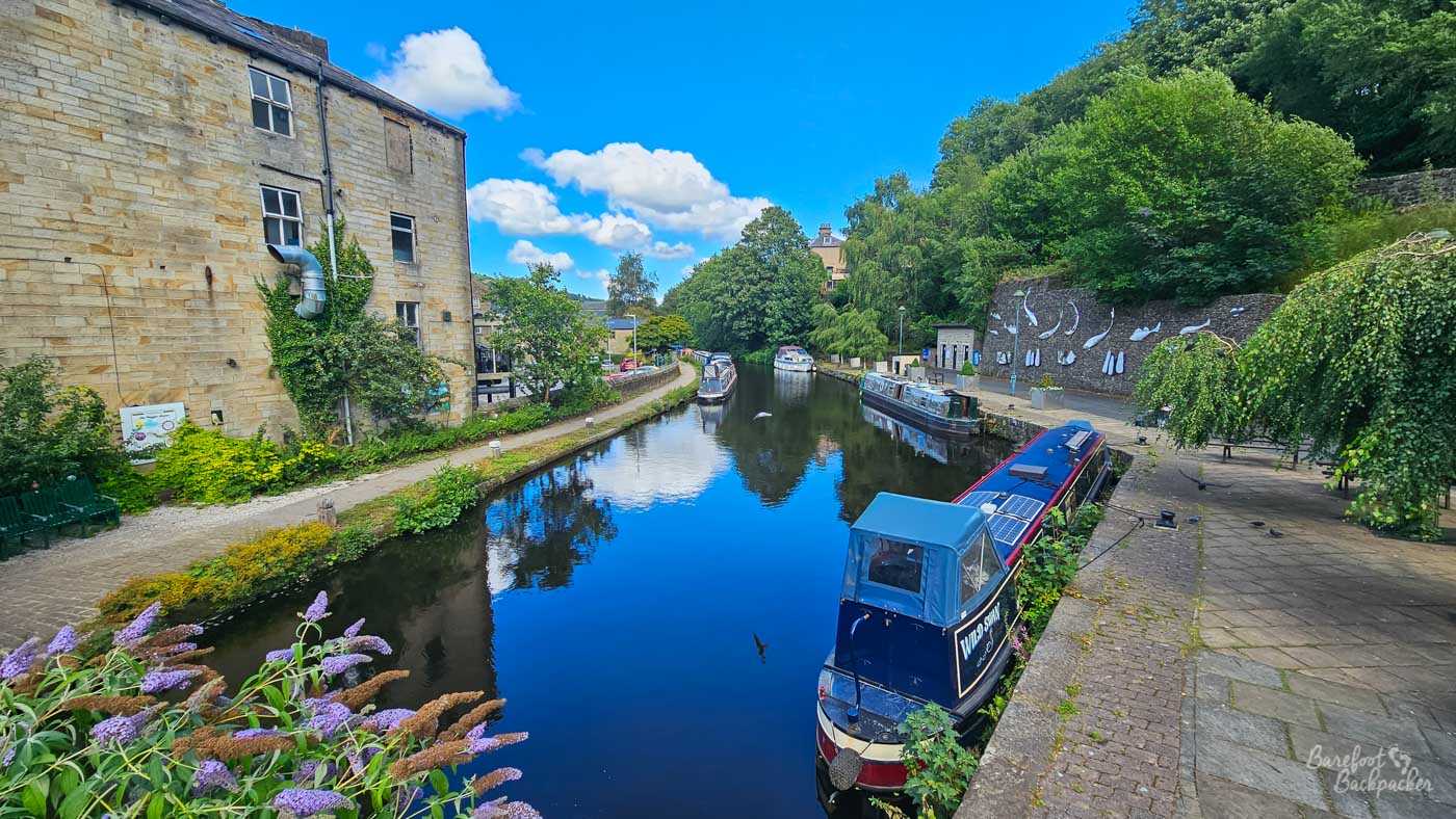
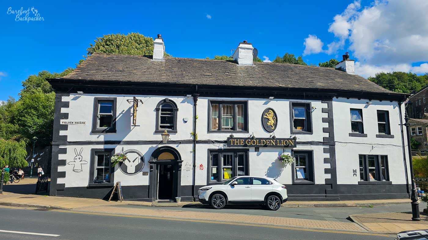
Todmorden Canal basin. Towpath on the left, weird wall sculptures on the right, Golden Lion pub off shot on the right.
The canal leaves Todmorden town centre past a small marina, with interesting wall décor on the far side, next to the Golden Lion pub, and then on a newly-regenerated area with gravel, benches, and an awful lot of geese. As the landscape gets more rural there’s a fence on the left, behind which is a whole host of information about 70s Prog Rock icon Keith Emerson, who was born here.
There’s not a lot to say about the 7km stretch to Hebden Bridge, in all honesty, other than it’s … pleasant. It’s green, it’s quite chill, but you don’t really go *through* anything. The main road is lined with industrial buildings but it’s far enough away and you’re largely sheltered from them. There’s a couple of communal gardens along this stretch of the route, and usually a selection of several moored canal boats, and at Charlestown, 4.7km from Todmorden, the Pennine Way crosses on a stone bridge.
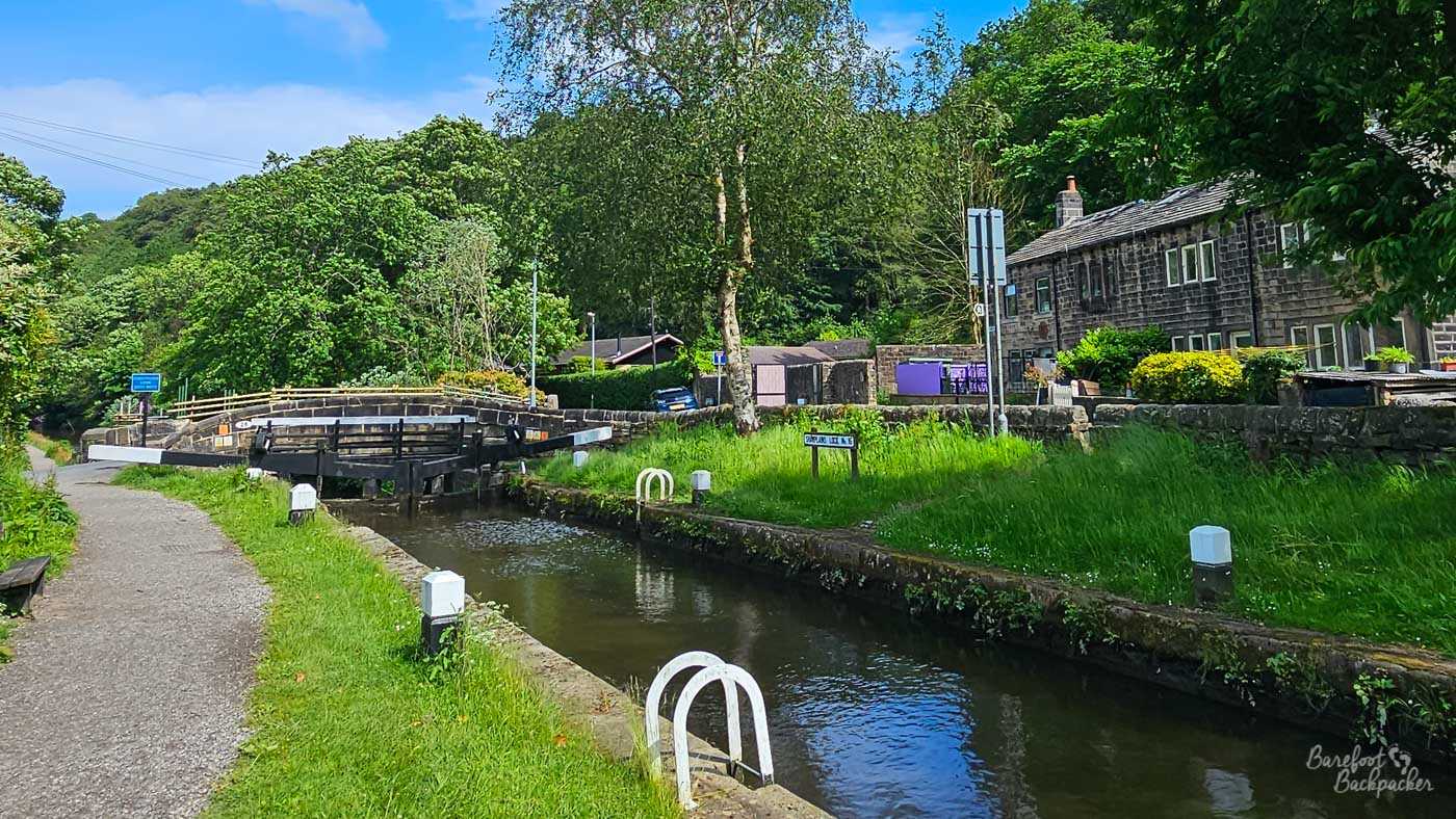
Canal lock in the Charlestown area, close to where the Pennine Way crosses.
7km from Todmorden is Hebden Bridge. In this direction, the first sign you’re close is when the railway crosses high above on a viaduct; along this whole section the railway’s been off to the left, either high above on embankments and viaducts, or going through tunnels. In terms of foot traffic, this tends to be the busiest section, as the canal passes more-or-less through the town centre, with cafes on the canal itself, a couple of cobbled streets running off to the main road, and, after the towpath crosses the canal, a busy park on the right that’s home to Happy Valley Pride every July.
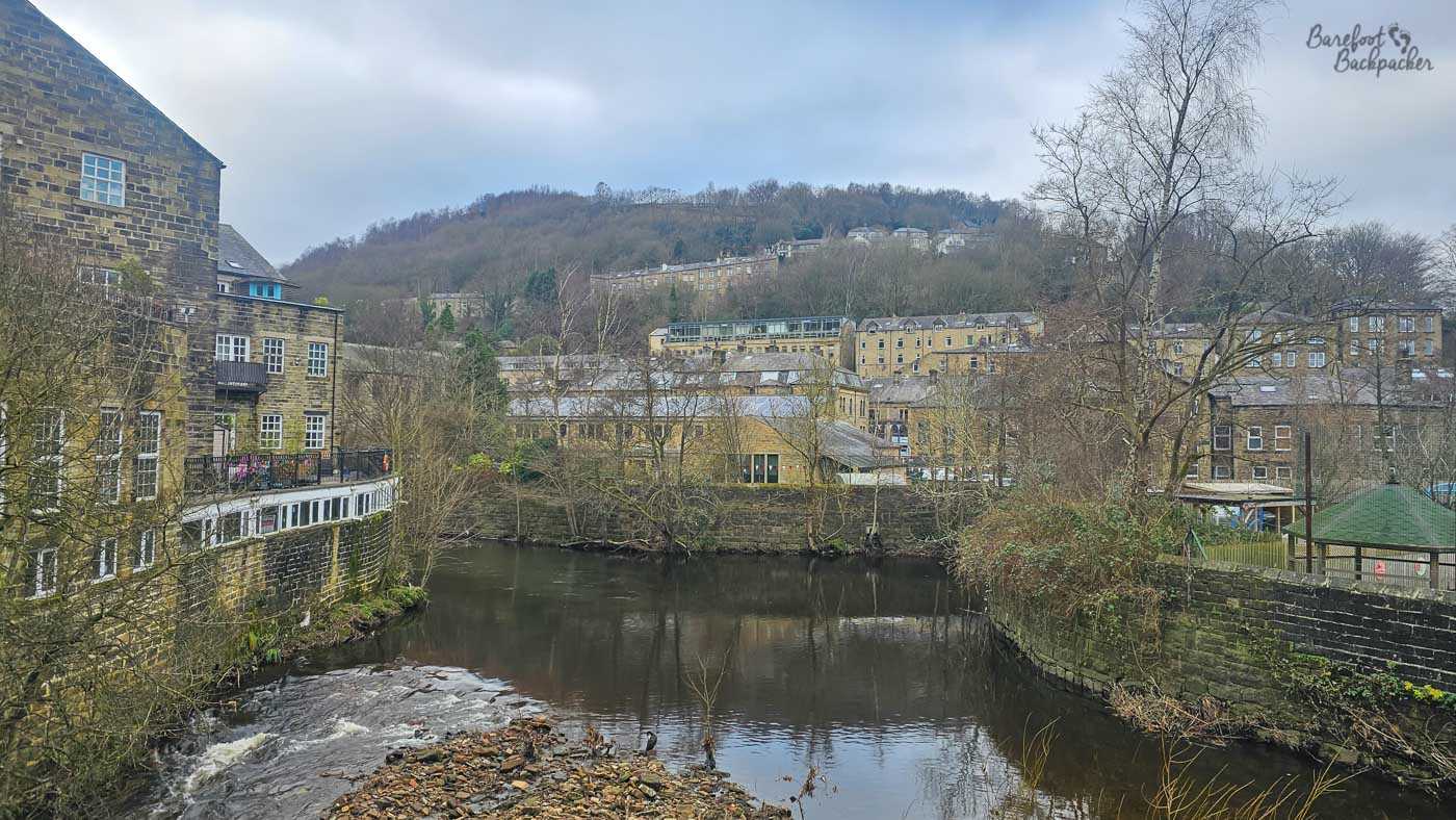
View of Hebden Bridge from the canal.
Hebden Bridge isn’t very big; it’s got a population of only about 4,500, but you’d never believe it on a summer Saturday when visitor numbers swell inordinately. If you need a refreshment break, my list of favourite pubs in Hebden Bridge is here tho note none of them are directly on the canal itself. Alternatively, stay on the canal for just over 2km and Mytholmroyd is much quieter.
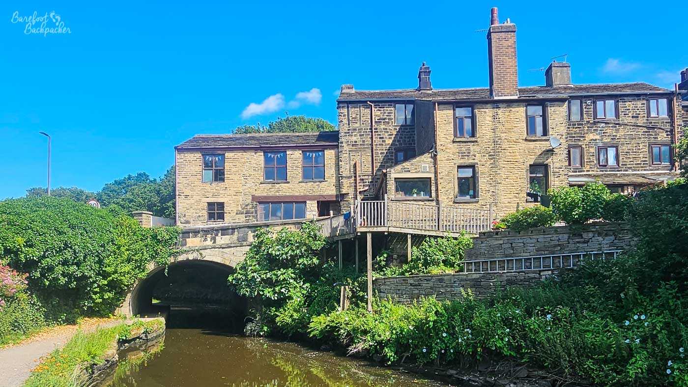
Probably the most aesthetic view in Mytholmroyd.
The trek to Mytholmroyd is very much a walk of two halves. Leaving Hebden Bridge the canal is quite a bit lower than the main road, giving quite a cliff view on the left, while to the right is just trees and what feels like wild land, though in reality a lot of it is industrial, just hidden away. Hebden Bridge railway station is passed on the right, and this section of canal is usually full of moored-up canal boats, some of which look semi-permanent. Beyond Fallingroyd Bridge though, the canal is slightly above the road and the surroundings are much more open, plain, and slightly dull – Mytholmroyd isn’t a picturesque town and the hills feel quite bare and farmly.
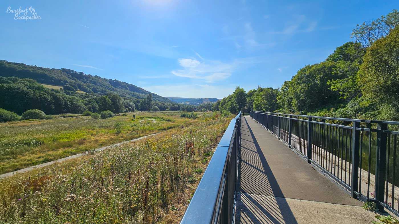
The best picture I could get that shows the flood-plain nature of this part of the Calder Valley.
This theme continues for a short way after the town, as the canal crosses the main road once again, and runs alongside a small industrial estate for a few hundred metres. After that though, the greenery closes in again, and, at certain points, you can see clearly the lay of the Calder Valley itself; a floodplain easily identifiable with steep hills either side. In historical times, this whole valley was more of a swamp, and the causeway was high on the hillside on the left, running
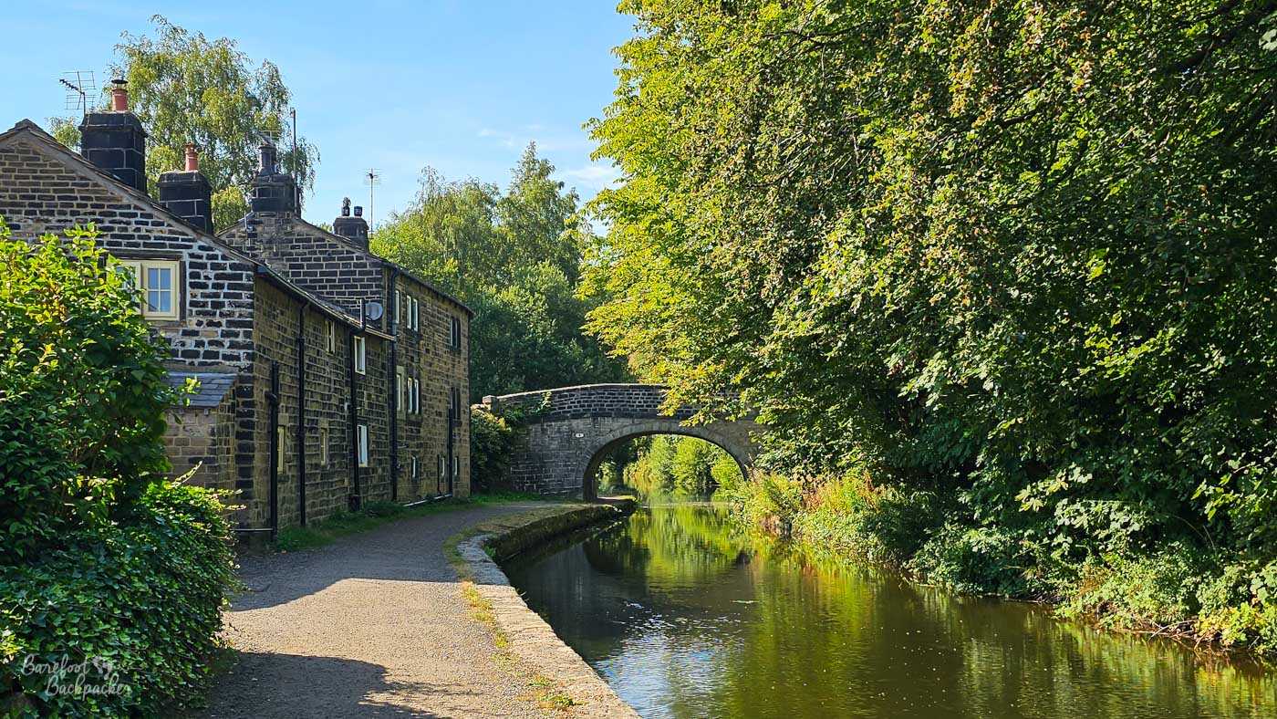
My friend has more images of this building and bridge than I do of the whole canal.
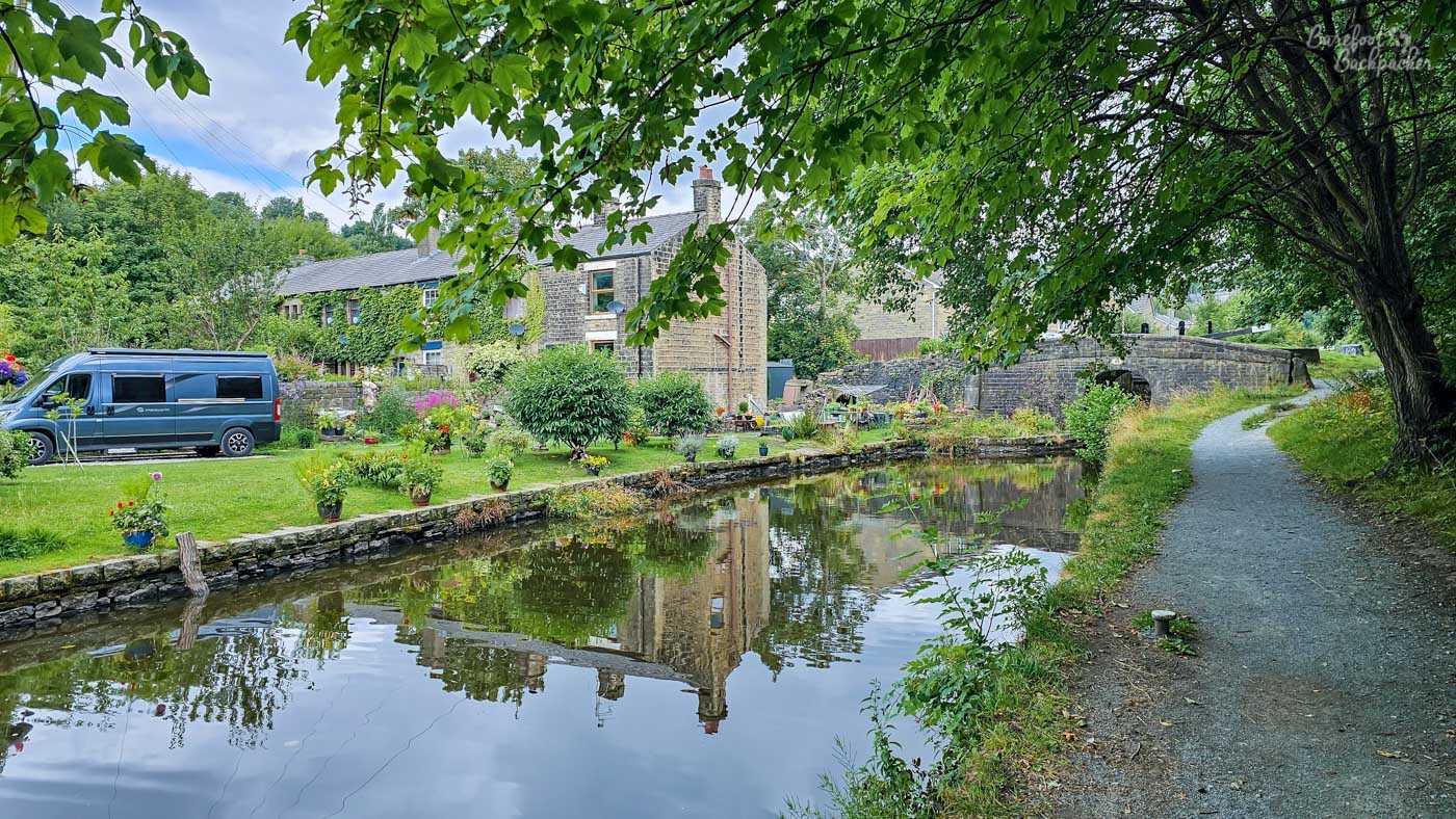
The run to Luddendenfoot is quiet woodland, the road being high above to the left and the railway being somewhat hidden on the right. There’s a couple of very pretty stone bridges and cottages here, but mostly you’re on your own. Well, with the geese. Luddendenfoot itself isn’t that noteworthy, and is largely a 1960/1970s council estate, though Luddenden, slightly further uphill, is a very old and pretty village, and a clue to its history is found just after the bridge where there’s a sculpture of a large ball of wool. This was an area of textile manufacture and one of the old mills (Oats Royd Mill) still exists, though it’s now a residential complex (having “burned down” in the late 80s) and it’s a mile up a steep hill so I wouldn’t bother. The village was the setting for early 1980s sitcom “In Loving Memory”, which is as forgettable as the canal around Mytholmroyd. Luddendenfoot is also noted having a railway station where Branwell Brontë (yes, a relation; Wuthering Heights is only about 10km away, again mostly uphill) served as a clerk, presumably when he was sober enough. It closed in 1962.
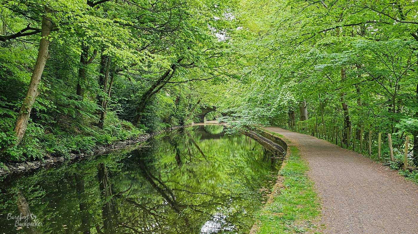
Arguably the prettiest section on the whole canal, and the bit I walk along the most. Because why wouldn’t I?
The final 3½km is similar but even gentler; again you know there’s a busy road above you and some industry off to the right but you never see it, rather you just ease around a couple of wide left-hand curves, past the occasional bridge and old stone building, and avoid the geese, all under a heavy canopy of leaf. It’s not until you’re pretty much in the centre of Sowerby Bridge that you notice there’s a town here, and the realisation is sudden. After a right bend and quickly under a small bridge, the towpath ends in a car park behind a B&M store and you have to make your way through a little bit of town. Meanwhile the canal descends into a tunnel under two roads via Tuel Lane Lock, built in 1996 to replace two older locks abandoned when the canal closed, and deprecated after road modernisation, At 6m, it’s the deepest lock on the entire UK Canal Network, and as such can only be operated by a lock-keeper.
If you’re walking along the canal, this would be the perfect place to stop – it’s convenient for both local amenities and onward destinations, with buses and trains to Halifax and Rochdale – but the canal continues for a short while beyond the bridge, going past a wharf from where you can hire canal boats, before it ends at a head-on junction with the Calder & Hebble Navigation. The metal milestone and larger signpost both helpfully tell you you’re 32 miles from Manchester. Go and have a pint in Sowerby Bridge town centre to celebrate.
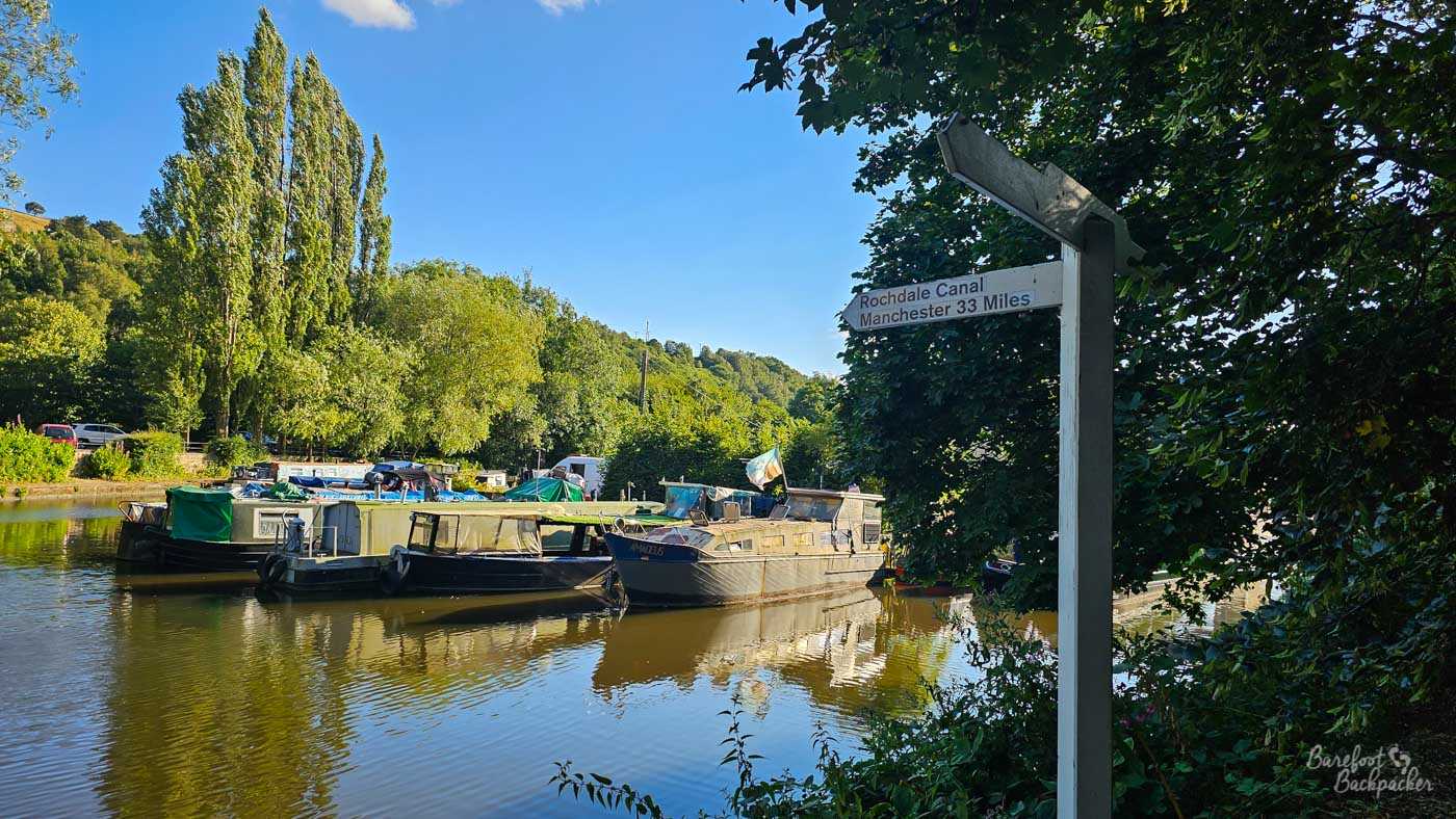
The signpost on the far side of Sowerby Bridge wharf. It’s interesting it gives 33 miles and the metal mileposts along the towpath give 32. I guess that’s the difference between the Ancoats and Bridgewater Basins.
Bonus: Sowerby Bridge – Brighouse (10.55 km) (The Calder & Hebble Navigation)
As I say, the Rochdale Canal ends in Sowerby Bridge, on the far side of a wharf, end-on with the Calder & Hebble Navigation, and stopping your walk at the earlier bridge makes an awful lot of logistical sense. However, if you want to head on, the switch to the Calder & Hebble is only about 400m further on, and more-or-less seamless; the towpath turns a corner and lo!, there you are.
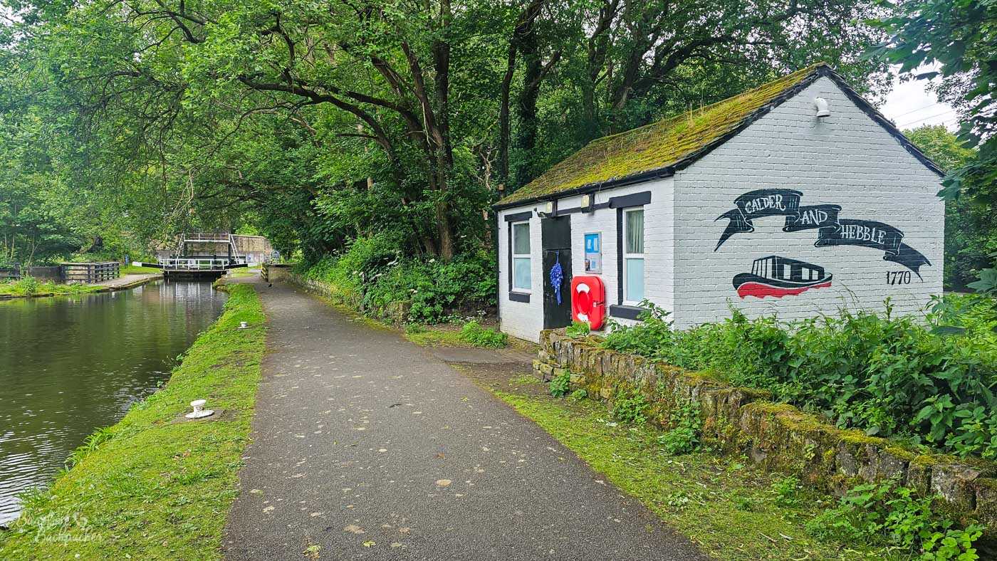
One of the canalside buildings at Salterhebble. I just like the design.
The Calder & Hebble Navigation is one of those waterways that’s part-canal and part-manipulated-river. It was originally constructed to allow shipping to sail along the River Calder from Wakefield to Sowerby Bridge, and its original path was opened in 1770. At the Wakefield end it links to the Aire & Calder Navigation, which has been doing the same thing since about 1704, and thence to the Humber Estuary. When the Rochdale Canal met it headlong in 1804, it meant it was possible to sail right across the width of England, from Liverpool to Hull.
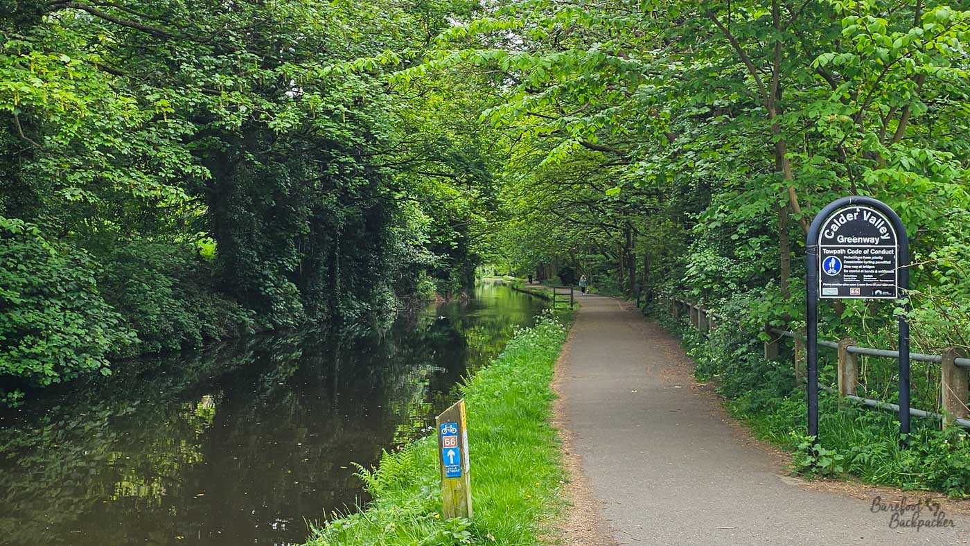
More tree-lined towpath; this around the woodlands in Copley.
For the walker, however, this presents a problem. As much of it is free-flowing river (even if channelled and straightened), towpaths weren’t generally constructed, and footpaths along the river are few and far between. The first 1.4km out of Brighouse requires you to go along dead-straight roads through an industrial estate and it’s just plain soul-destroying. A little further on, the path along the river disintegrates into an overgrown mess on an eroded bank that had me, at one point, having to clamber over a ruined metal fence with barbed wire into and out of another small industrial estate.
I was additionally stymied by the Transpennine Route Upgrade (railway improvement) cutting off access to the towpath around Mirfield, that required a lengthy detour through southern Dewsbury. I gave up and went to the pub at the railway station.
This means that the section from Sowerby Bridge to Brighouse, on a towpath, next to a standard canal, might as well go here. And it’s definitely worthy of walking!
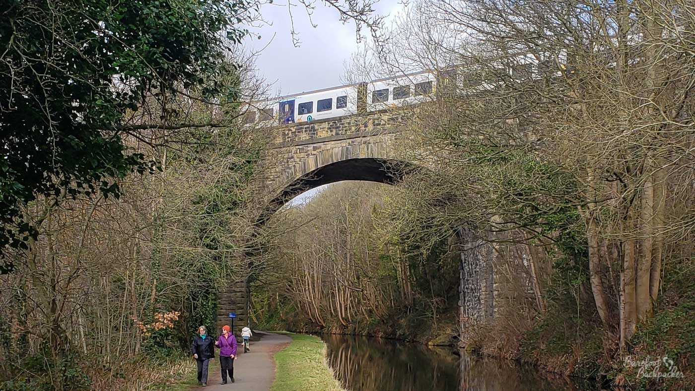
The Copley Viaduct. There’s roughly four trains an hour that pass over it.
The first 3.5km to Salterhebble are more-or-less a continuation of the previous section; it’s mostly trees that line the route. Indeed after a new-build housing estate on the edge of Brighouse, the canal passes through specific woodlands at Copley which are a nature reserve of its own. Here it also passes under Copley Viaduct, a Grade II Listed sandstone railway viaduct from 1852 that rises to 20m above the canal, so it’s quite impressive to look at from underneath, if trickier to get in shot. The greenery remains even while the canal passes a water treatment works on the right. Which doesn’t smell as much as you’d expect.
At Salterhebble there’s a series of narrow locks, a small cafe stall that’s open until early afternoon, and an old lock-keeper cottage that’s apparently bookable through AirBnb. This is where the short canal to Halifax used to join, which opened in 1828 and closed during World War 2. These days all that remains of that arm is a 450m stretch to a small basin by a hotel; the rest of the 3km route is filled but there’s a footpath much of the way along its route, which drops you at the south end of the town centre near the football ground. The rest of the route in isn’t pretty, but it does take you right past The Three Pigeons pub.
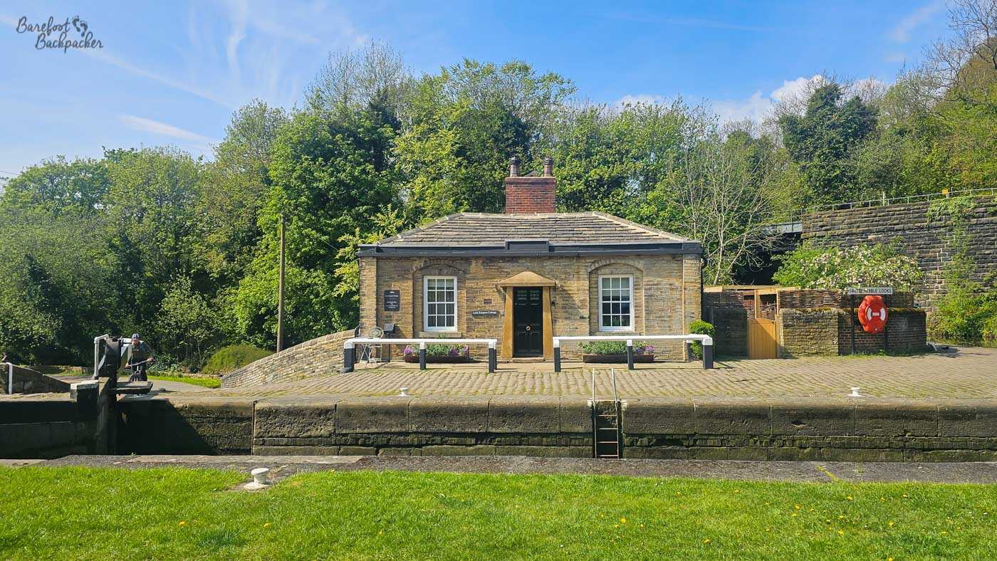
The stone lock-keeper’s cottage at Salterhebble. Not a bad place to stay!
Continuing towards Brighouse, the next 1.9km to Elland are fairly forgettable. The route crosses the Calderdale Way footpath again, this time around a particularly unfriendly series of roads and junctions, in flat open land that’s clearly just post-industrial that’s been cleared and grassed up. A thin woodland then hides the canal from both the river and a dual carriageway, before reaching Elland Bridge where the towpath swaps to the opposite bank in full view of both. There then follows a series of lofty viaducts as first the dual carriageway and then the railway pass overhead. It is pleasing to note though this is the last industrial section before Brighouse.
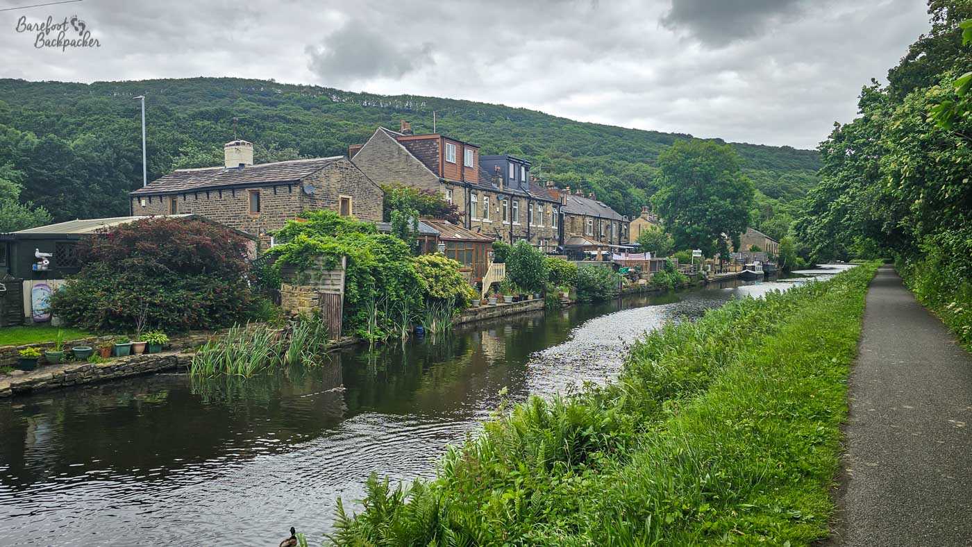
Two of houses on the edge of Elland, pub at the end. Ought to go there one day.
Instead, after passing a series of old stone cottages and a pub on the left, that project canalside, the route continues for around 2.4km through the delightfully-named Cromwell Bottom Nature reserve. The canal takes a more-or-less straight path lined with trees, while on the right there’s a whole series of footpaths and trails that go deeper into the woods. The left is largely obscured by the foliage but glimpses of large houses and a long lake can occasionally be seen.
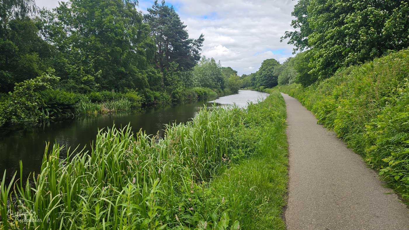
Part of the long stretch towards Brighouse.
The final 1.5km, from Brockfoot to the marina in Brighouse, are shared with the Calderdale Way and a disappointingly a little more industrial, with warehouses (old and new) being more visible, though not nearly as much as you’d imagine. The canal runs alongside the river for a short section around a sharp bend, slightly hidden from view from the town above left, before making a beeline for the town centre, a series of bridges, the marketplace and, finally, the marina. What you decide to do in Brighouse is up to you, but it’s a very easy place to get out of.
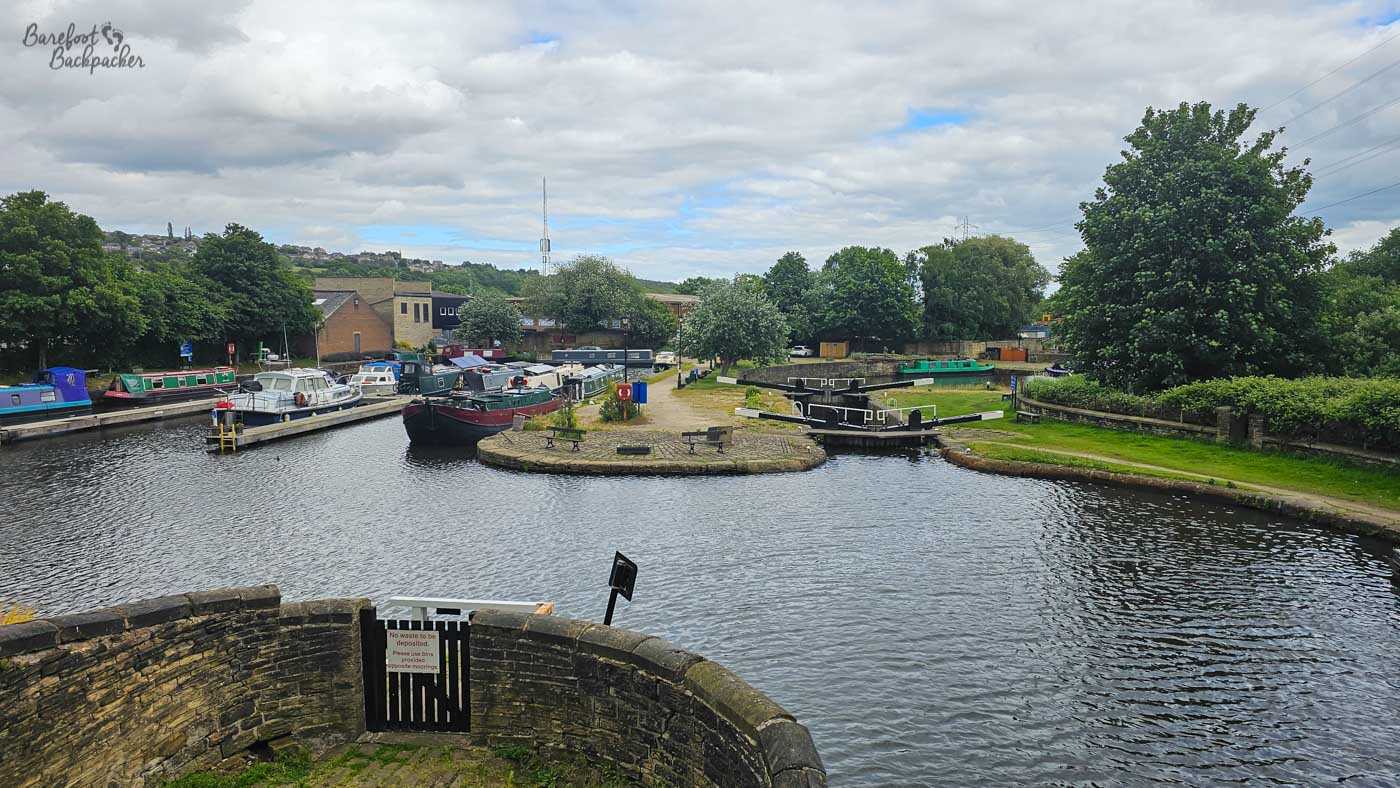
The end of the walkable bit of the canal; Brighouse marina.