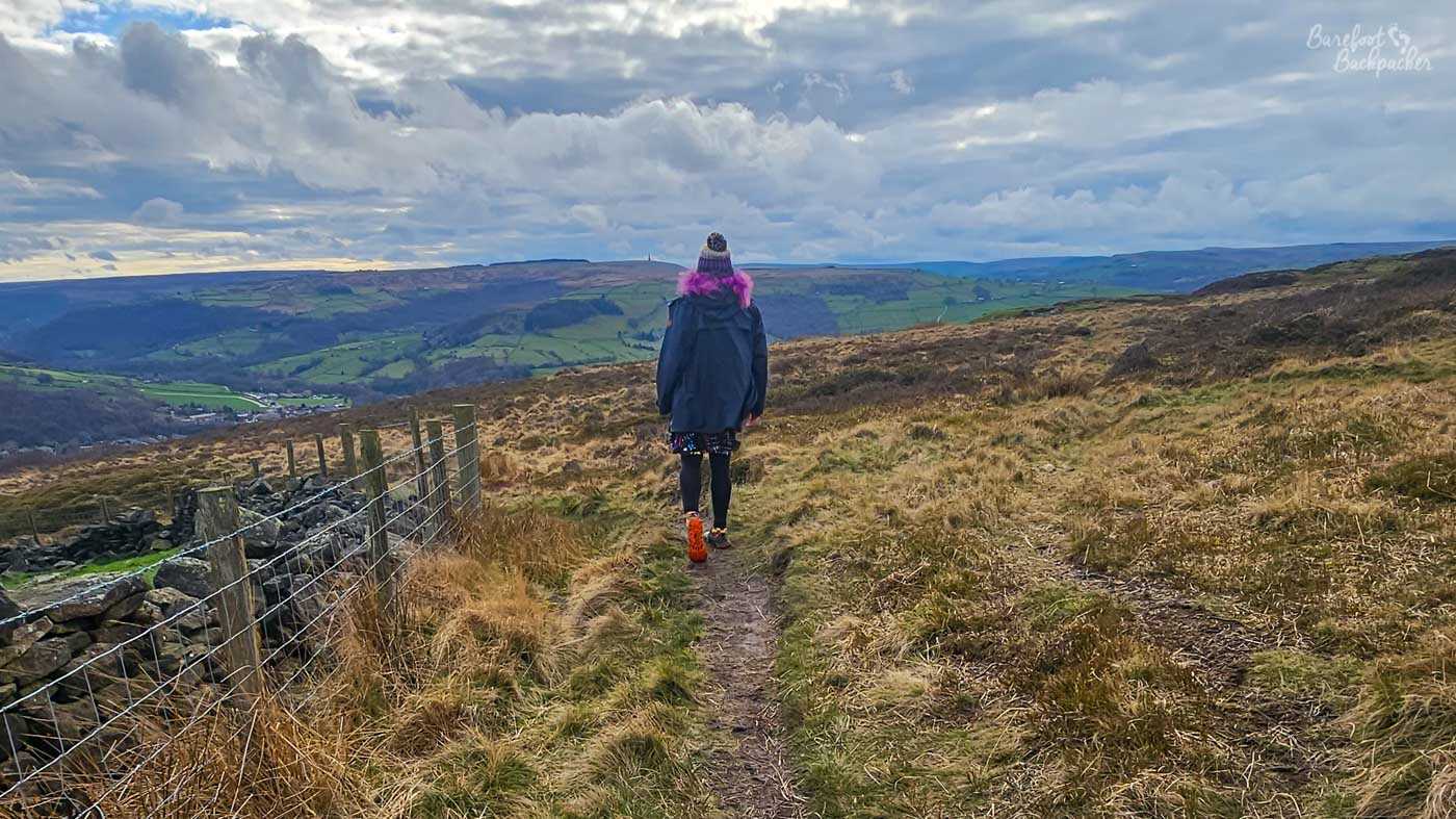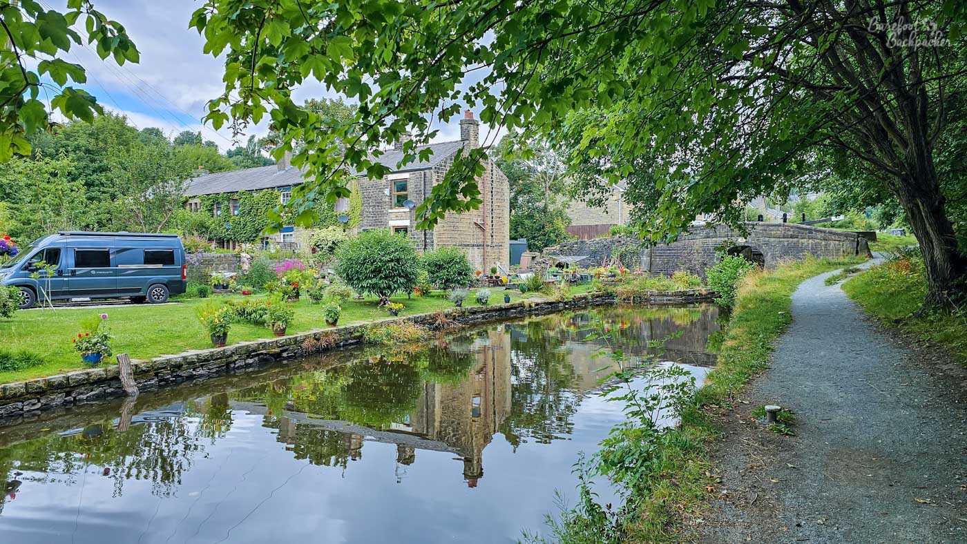
The Ashton Canal, Huddersfield Narrow Canal, and Huddersfield Broad Canal, are three different canals that all meet end-on, and together form one coherent canal that runs from Manchester to Mirfield, West Yorkshire. At its eastern end – the technical start point – it meets the Calder&Hebble canal between Brighouse and Mirfield, while at its western end it meets the Rochdale Canal in the Ancoats Basin, just outside Manchester City Centre. Together, these days, they form the southernmost of the three canal routings across the Pennines – the Rochdale Canal and the Leeds-Liverpool Canal being the other two. In theory therefore it’s possible to use this canal as a boater as one leg of the Southern Pennine Ring, but in practice, as you’ll see, this isn’t necessarily the case.
Of the three routes that make up the Pennine Rings, this one, and especially the Huddersfield Narrow Canal section, feels the least ‘managed’ of the three. In addition, while those other two canals are more-or-less coherent throughout, the three canals on this leg have three different histories, and connect by practical economics and Victorian-era pragmatism.
The Huddersfield Broad Canal (Mirfield to Huddersfield) was opened in 1776, and has never closed. It seems to have been used for freight transport until 1953; it was designated a leisure route in 1968. It tended to serve Yorkshire more than Lancashire, due to, in railway parlance, a change of gauge in Huddersfield for the Narrow Canal – only somewhere between a fifth and a quarter of traffic on the Broad Canal transferred to the Narrow Canal.
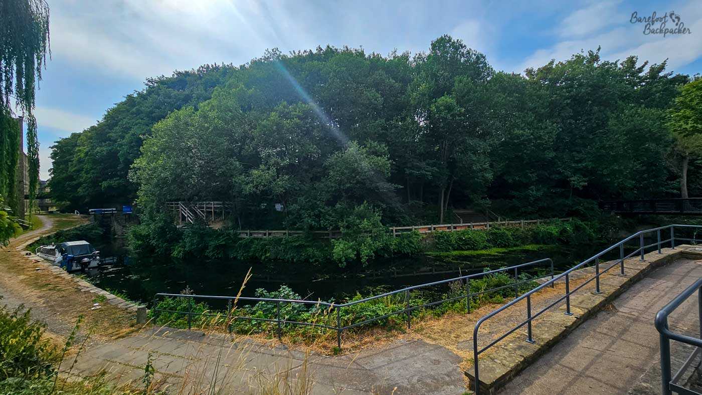
This is where the two Huddersfield Canals officially meet, although in practice it’s just a place for students to duck-watch.
The Huddersfield Narrow Canal (Huddersfield to Ashton-under-Lyne) was opened 1811, closed 1944, then restored in stages from 1981 to 2001. As a canal it was never really that successful for several reasons: it was built a bit too late, there were problems in construction, it was narrow (max width 7ft, 2.1m), and the Standedge Tunnel only allowed one boat convoy at a time. In addition, the narrower boats were longer so they didn’t fit into the locks on the Broad Canal.
The Ashton Canal (Ashton-under-Lyne to Manchester) was completed in 1797, closed in 1961 (having not really been used for several years prior), and restored 1974. As noted above, traffic to/from Yorkshire tended to use the Rochdale Canal instead, so it mainly served Tameside and East Manchester, as well as having connections into eastern Cheshire.
Officially the route goes east-west, and that’s the way I walked along the two Huddersfield canals, although I did the Ashton canal in the opposite direction, because there’s nothing quite as satisfying as walking out of Manchester. /hj
The walkable route from start to end is around 44.5km, though the Standedge Tunnel isn’t walkable. The entire path is followed by the railway line from Manchester to Huddersfield and Leeds – the TransPennine Route – which at the time of writing is being upgraded. Much of this line is the path of the Real Ale Trail; several of the towns en route have designated craft/real ale pubs at or near the railway stations, which makes it quite a long pub crawl. Walking it along the canal is certainly cheaper, albeit much longer. And after a few beers, probably less advised.
Huddersfield Broad Canal
This canal is about 6km long, and starts at a junction with the Calder&Hebble (or possibly the River Calder; it’s hard to tell at that point) just outside Mirfield. There is a theoretical path along the Calder&Hebble at this point, but if you’re walking, it’s almost certainly easier to join the Huddersfield Broad Canal from a point just to the south of the junction, on Cooper Bridge Road.
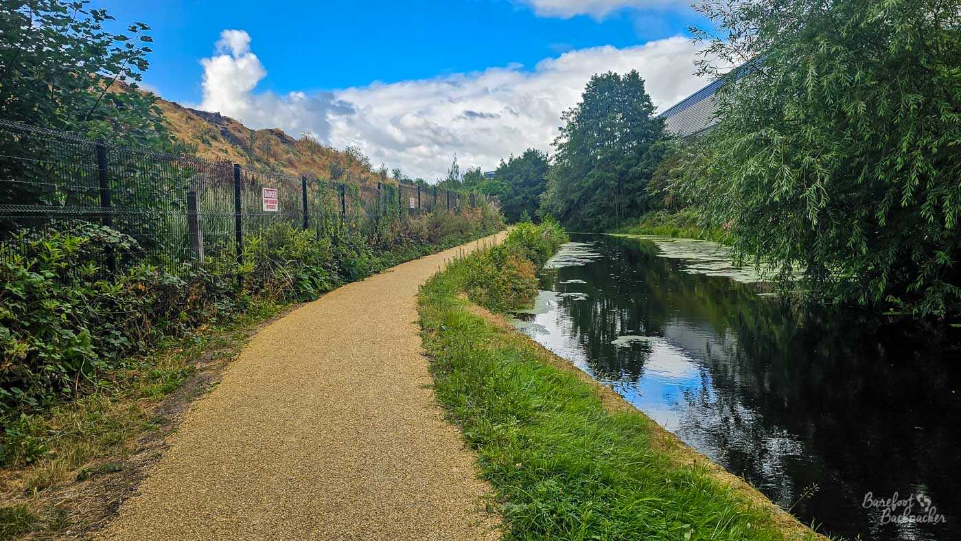
It’s a pleasant enough walk, but the views aren’t spectacular. That said, as around is industrial estate, they could be a lot worse.
It’s not a terribly interesting canal, all told, and not just because of its short length. It’s not that it’s unaesthetic, per se – it blows the first few km of the Rochdale and Ashton Canals out of the literal water, albeit that’s a very low bar – it’s just … bland.
The first km or so runs past a commercial estate with large warehouses and wholesalers; the sort of place you’d go to buy curtain blinds or water coolers in bulk. The canal itself ignores them as much as possible, with trees and shrubberies both sides, but the buildings do loom on the side. The other side of the canal is blocked by the River Colne, hidden by a fence and a wall of frond.
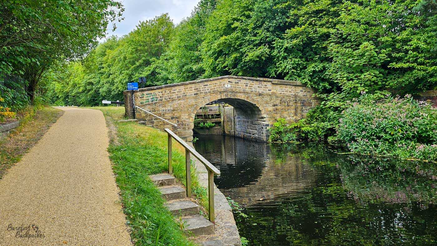
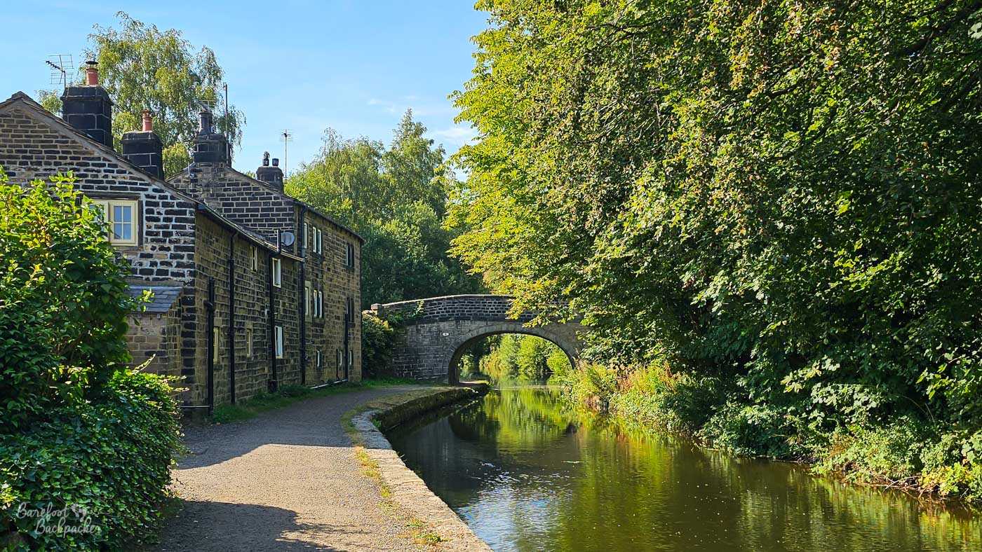
All the canals around West Yorkshire and Greater Manchester are crossed by many such stone bridges. This one doesn’t really go anywhere but it’s still cute.
There’s a couple of old stone bridges on this section, carrying paths and cycleways that don’t really go anywhere, and 1km in there’s a large brick railway viaduct, carrying a long-dead railway line. This is Deighton Viaduct, which seems to have taken a Midland Railway goods-only branch from Mirfield to a yard in Huddersfield. It’s not to be confused with Whitacre Mill Viaduct, abut 850m further along, which took both passengers and freight from Deighton to Kirkburton, a little way south.
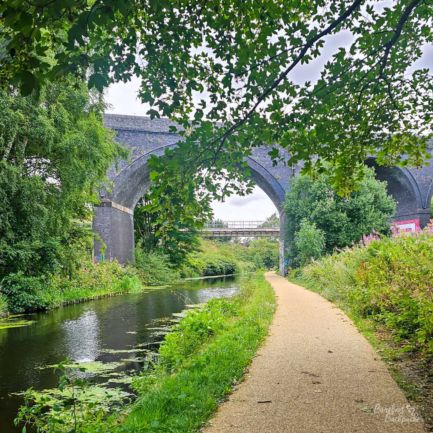
Deighton Viaduct. Not Whitacre Mill Viaduct. Not that either of them are used any more, mind.
Even past Deighton the canal retains this feel, as if the whole of northern Huddersfield is one big commercial zone. Car dealerships, logistics companies, and buildings that look like a shoe-in for call centres are glimpsed behind the trees that almost make you pretend you’re deeper into the countryside than you are. But soon enough the huge chimney of Kirklees Incinerator makes Huddersfield’s centre hard to ignore. A couple of bridges, a couple of brick walls to the side tagged with graffiti, and we’re close to the end.
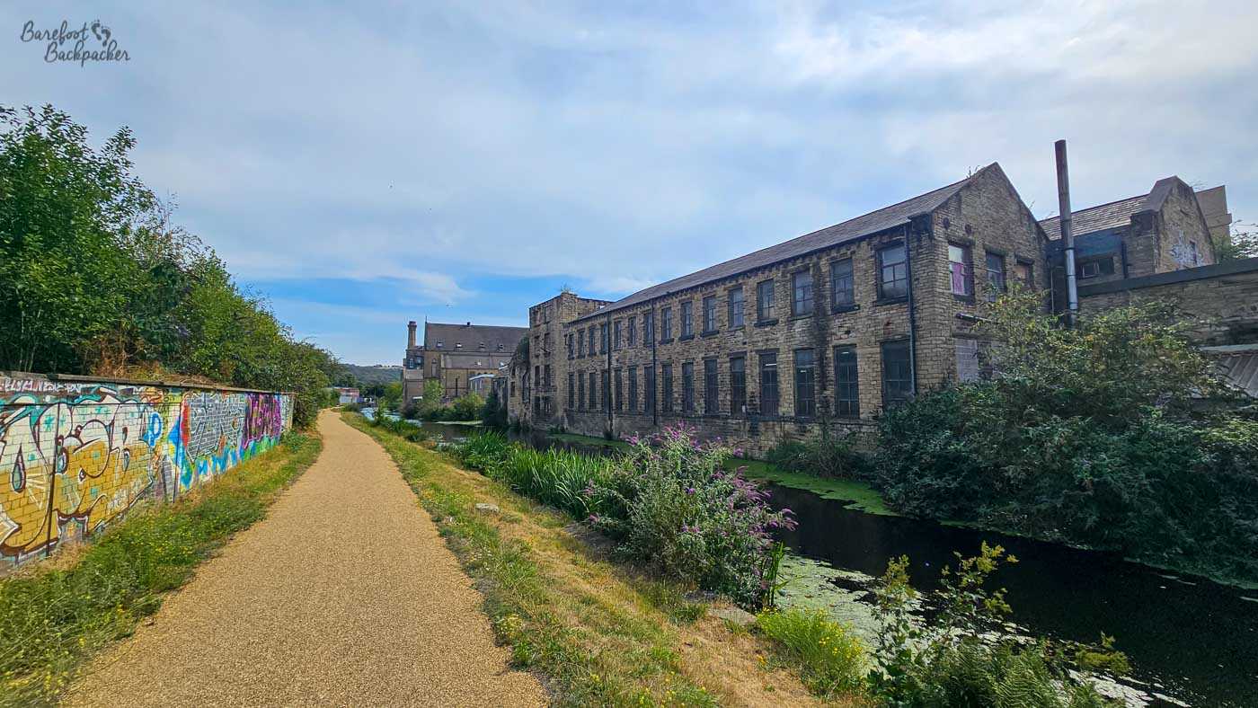
One of the old mill buildings in Huddersfield town centre. No idea if it’s still used or useable.
The final section, bypassing the town centre, is longer than you expect. Or maybe that’s just the ambiance. A few old mill buildings on the right that have been repurposed as commercial properties, including a Sainsburys from November 1992, while tall metal fencing on the left hides a huge engine manufacturer.
Technically the Huddersfield Broad Canal ends in the grounds of the University of Huddersfield, end-on with the Huddersfield Narrow Canal. However in 1985 the road bridge beyond Aspley Basin was strengthened and the work narrowed the canal below it to the same width as the Narrow Canal, so to all intents and purposes the Broad Canal ends at a marina just after the Sainsburys and outside a Premier Inn. There’s a whole series of moorings here, several dead-end footpaths, and while only a short walk into the town centre, this does involve crossing a major busy road.
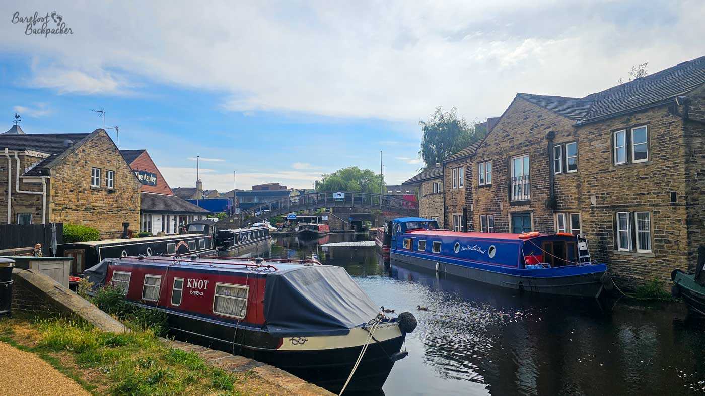
Aspley Basin is a popular mooring spot – and very close to Huddersfield town centre.
Huddersfield Narrow Canal – Section One
The section of the Huddersfield Narrow Canal from Aspley Basin to the Standedge Tunnel is around 13.2km. It’s mostly quite straight, and follows the course of the River Colne straight into the upper Peak District. Although part of the Pennine Ring, if you only have one takeaway from this canal it’s that it’s a lot easier to walk than to sail along.
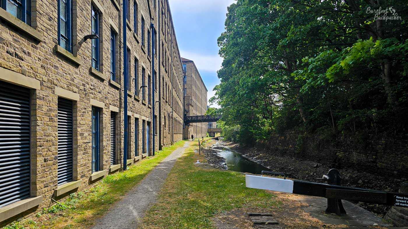
The first section of the Huddersfield Narrow Canal, just past the university. You can already tell that the water level is maybe not as high as it should be.
Effectively starting at the basin, the canal passes through the University of Huddersfield and past its official starting point at lock one, very tightly packed between buildings. Almost immediately though the towpath tails off as the canal disappears into tunnels under industrial complexes built over its top during the period it was abandoned. Walkers need to take a 400m detour along the roads past a couple of industrial estates. It’s not a pretty start.
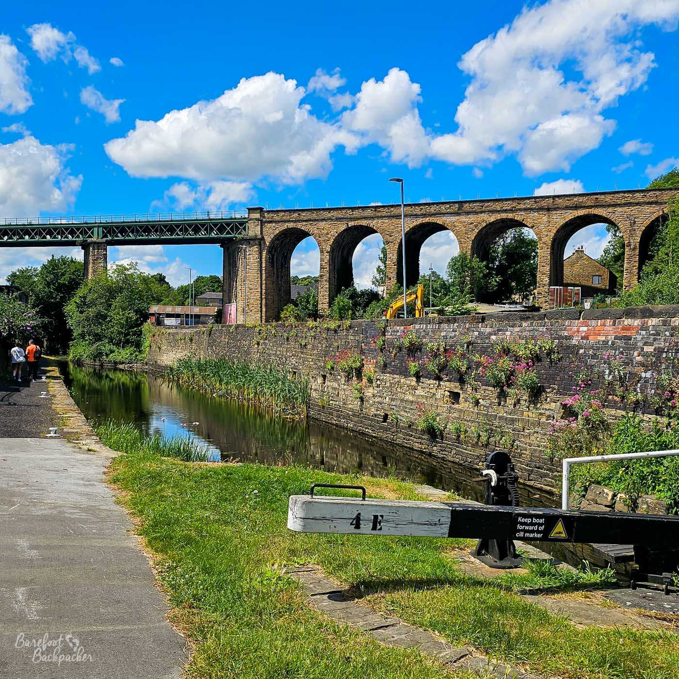
Paddock Viaduct, just outside Huddersfield town centre, carries the slow train to Sheffield. There isn’t a fast train.
Once back on the canal it becomes clear just how narrow it is; it’s incredibly noticeable and quite jarring. We pass some lego-ish buildings from the 2010s, before passing underneath Paddock Viaduct, a railway bridge from the 1850s, and then along a section mostly lined with trees. This is also where the lack of water in the canal becomes apparent – I don’t know if it was just like this on my visit but compared with both the Broad Canal and the Rochdale Canal, I very much had the impression it was often this shallow and debris-strewn.
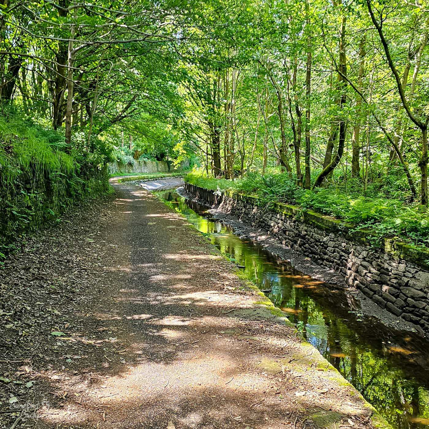
This is still the Western suburbs of Huddersfield, but you’d never know there. You’d also never know this was a well-used canal …
There’s a couple of canalside artwork at Milnbridge, 3.2km in, but honestly, this whole stretch of canal isn’t very notable. The trees make the walk more pleasant than the outskirts of Huddersfield have any right to be, but the Rochdale Canal is honestly a better hike for that. The views open out slightly after about 6km, when the Titanic textile mill is passed. Its name comes from it having been built roughly when the Titanic was being built. It was refurbished in 2005 and is now a luxury spa.
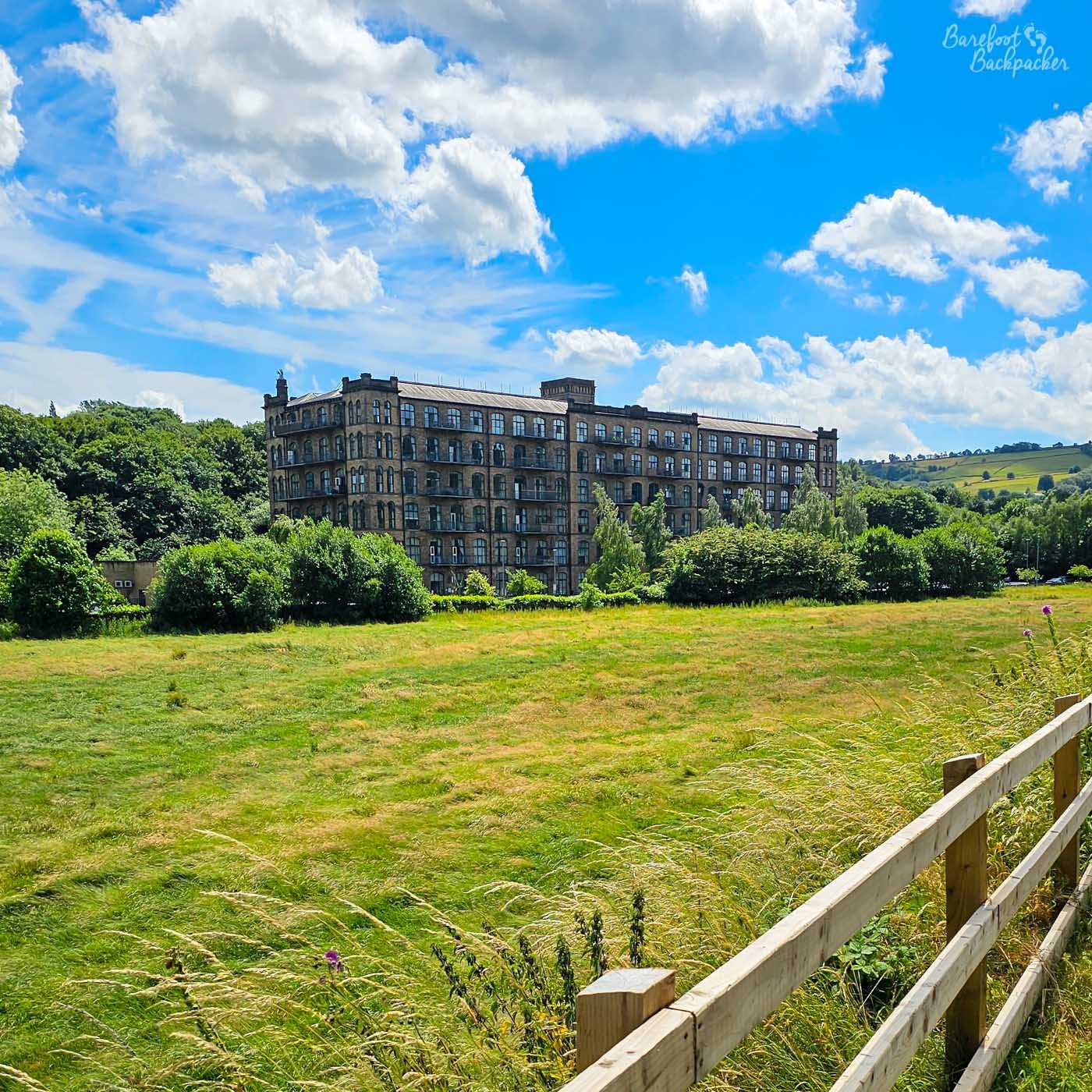
Titanic Mill as seen from the canal. As the canal emerges from the trees and into a field, you can see it from quite some distance away.
A couple more km through trees brings you to the incorrectly-pronounced town of Slaithwaite (usually slath-wait, no ‘i’ in the first syllable, or, even shorter, slah-wit). This is a lovely little place, with a population of just over 5,200. It vibes as the Huddersfield Canal’s version of Hebden Bridge on the Rochdale Canal, but without the lesbians. It has independent shops, local cafes, craft beer, and arguably an even better setting as the countryside here, although still very hilly, feels more open and green than the wild moorlands above the Calder Valley. It’s even also been the setting for a TV show, and “Where The Heart Is” was much more cheerful than “Happy Valley”.
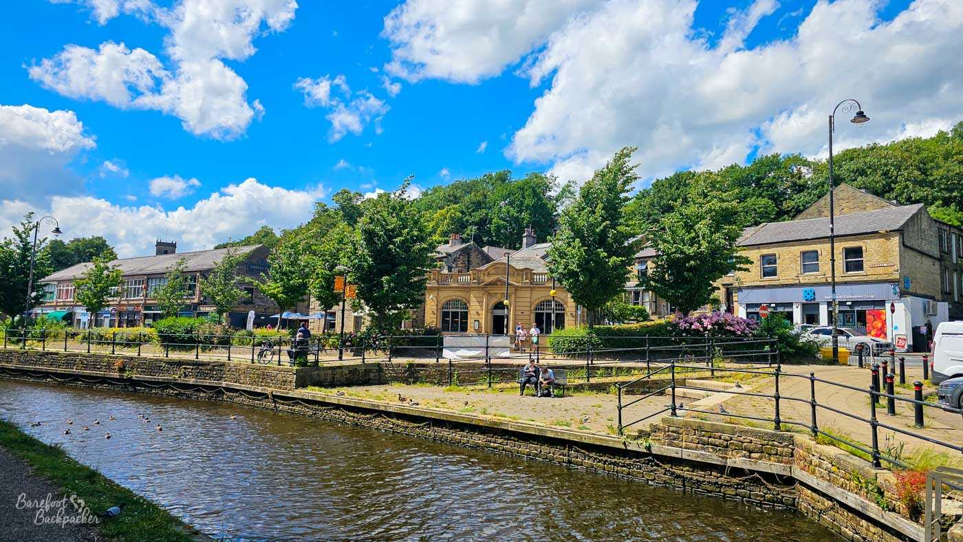
Slaithwaite town centre; quite refurbished with the reopening of the canal.
The section from Slaithwaite to Marsden, around 4km, shows off this scenery quite a bit. Once you’ve left the canalside stalls behind, there’s a tree-lined section before the view opens out and you can see the wooded hillsides and the moors beyond. Part of the way along is Sparth Reservoir and Cellars Clough, hidden behind a dyke and a stone wall respectively, which locals use as a place to walk and swim. There’s even a small beach, apparently. If you like mud.
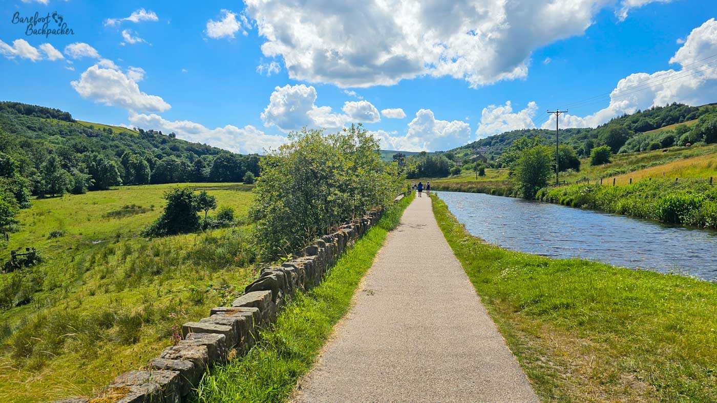
The landscape between Slaithwaite and Marsden really opens out as you leave the urban sprawl behind and get into the South Pennines.
Marsden is soon reached, and the canal kind of avoids it; instead, like the railway, passing largely to the north, hidden in a dip slightly below the main centre. Though there’s a couple of steps up to other paths, the easiest access to the town is where the canal passes the railway station. Marsden itself is quite nice, if slightly less notable; the Todmorden to Slaithwaite’s Hebden Bridge, if you will. And if you’re not passing through Standedge Tunnel you’re going to have to backtrack through here as the bus to Diggle goes a different way out the town. It’s not a drag; in any case the Rail Ale Trail pub here is the Riverhead Brewery Tap in the town centre anyway.
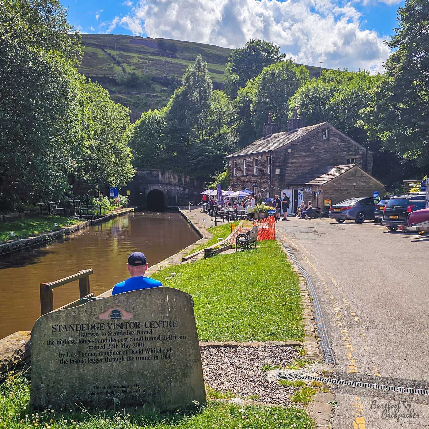
The eastern portal of the Standedge Tunnel, cafe and visitor centre on the right. No you can’t walk through it.
The end point of this section of the canal is the Standedge Tunnel. This was built by Thomas Telford, because to continue the canal up and over the Standedge ridge would involve far too many locks and be hugely expensive. It opened in 1810 and, at 5.2km in length, is the longest canal tunnel in the UK. It is also the highest and deepest canal tunnel in the UK – both portals are around 198m high, while the highest point in between that the canal passes under is at the Oldham-Kirklees border around 387m, meaning at that point it’s 189m deep. At this eastern end is the visitor centre, a small museum, and a cafe.
Trips can be taken through the tunnel, but there’s no towpath, so walking between the two ends isn’t direct. Or flat, as you can probably gather. So, back to Marsden for a break!
Huddersfield Narrow Canal – Section Two
You pick up the canal on the other side of Standedge Tunnel, in the wonderfully-named village of Diggle. In pre-Beeching days there was a railway station here; these days there’s an hourly bus from Marsden town centre (rather than the tunnel portal itself, or even the railway station), over the moors, so it’s not a problem. I would say the bus is easier than walking, but those roads are steep and winding, and the bus I was on was a double-decker, so … be careful!
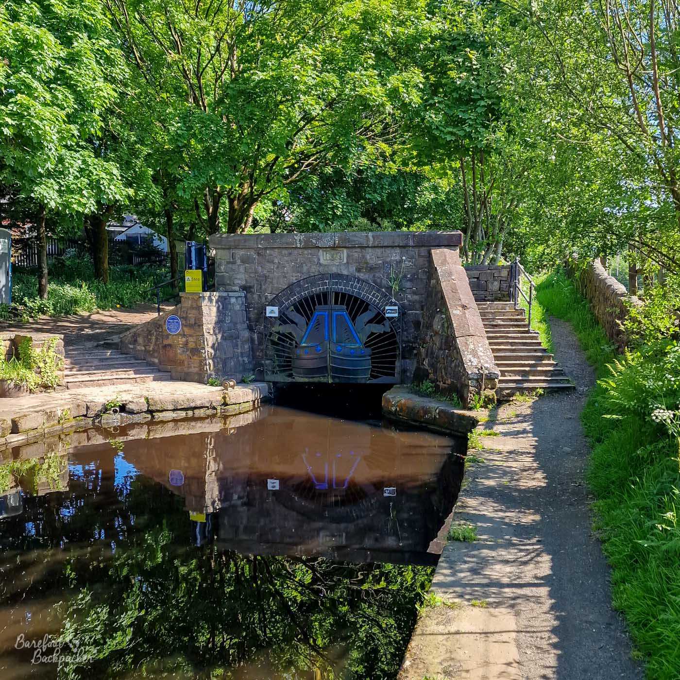
The Southern portal of the Standedge Tunnel. There’s much less here as compared with the Northern end.
It is about 14.2km from the western portal of the Standedge Tunnel to the Whitelands locks that mark where this canal meets the Ashton Canal, and it’s an odd route; it’s hard to describe succinctly but it almost feels you can tell why the canal was never that successful and why it was abandoned for many years.
Once back on the canal, there’s a short section of wide and open scenery, with green hills abound, before it passes alongside small towns that feel like they run into each other. This area from Diggle, through Uppermill, to Greenfield is known as Saddleworth; the notorious Moor is off to the left. The towns are much more aesthetic and wholesome though; stone cottages, trees, old bridges and viaducts, and the occasional mill. There’s a small marina and neighbouring supermarket at Greenfield railway station, before the trees and cottages return.
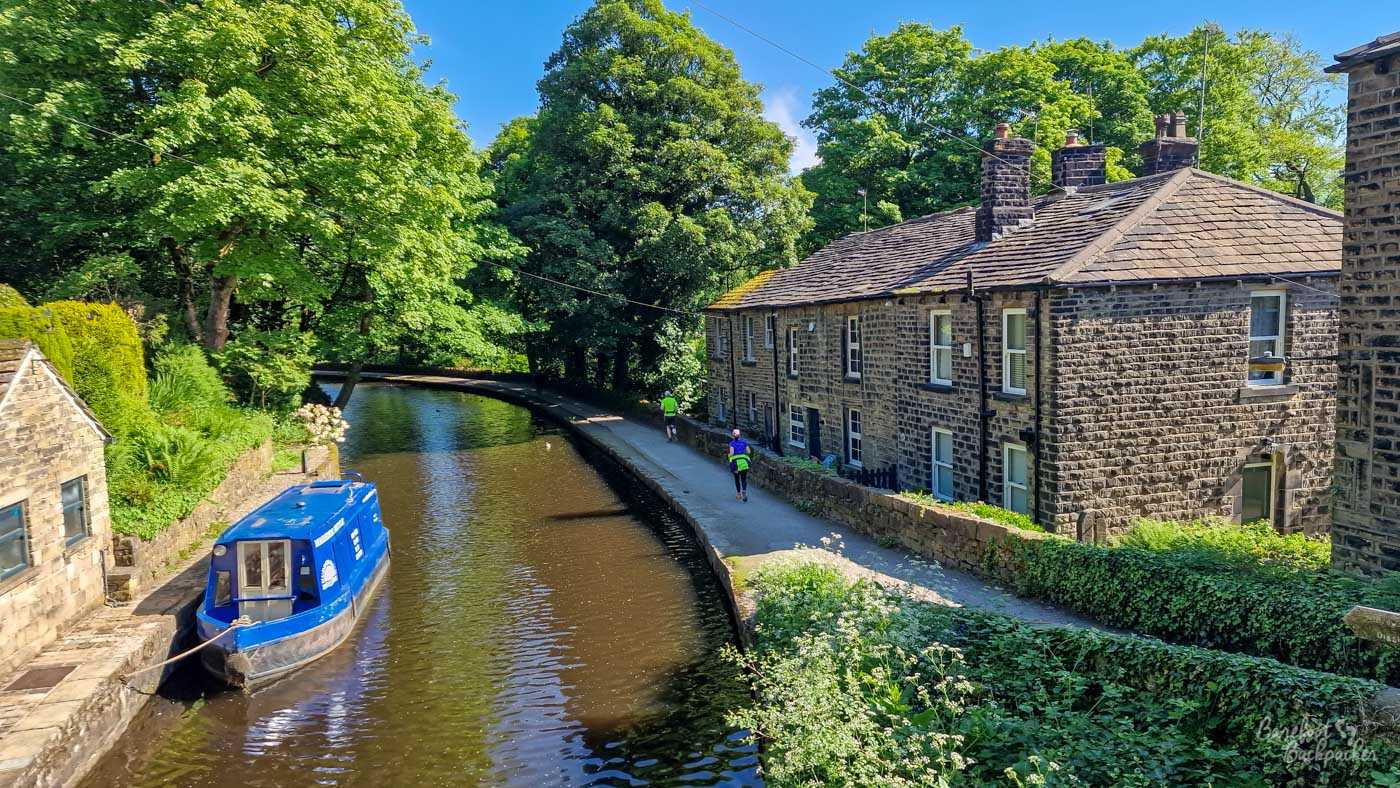
Another of the stone cottages on the South Pennine canals; this one is in Uppermill.
It stays like this for a couple of miles; every so often – as at Woodend in Mossley – you’ll pass vestiges of the industrial history, with old mill buildings now converted to shops, creative/artistic workplaces, or apartment blocks, and the occasional stone chimney still standing more for the aesthetic than the practicality.
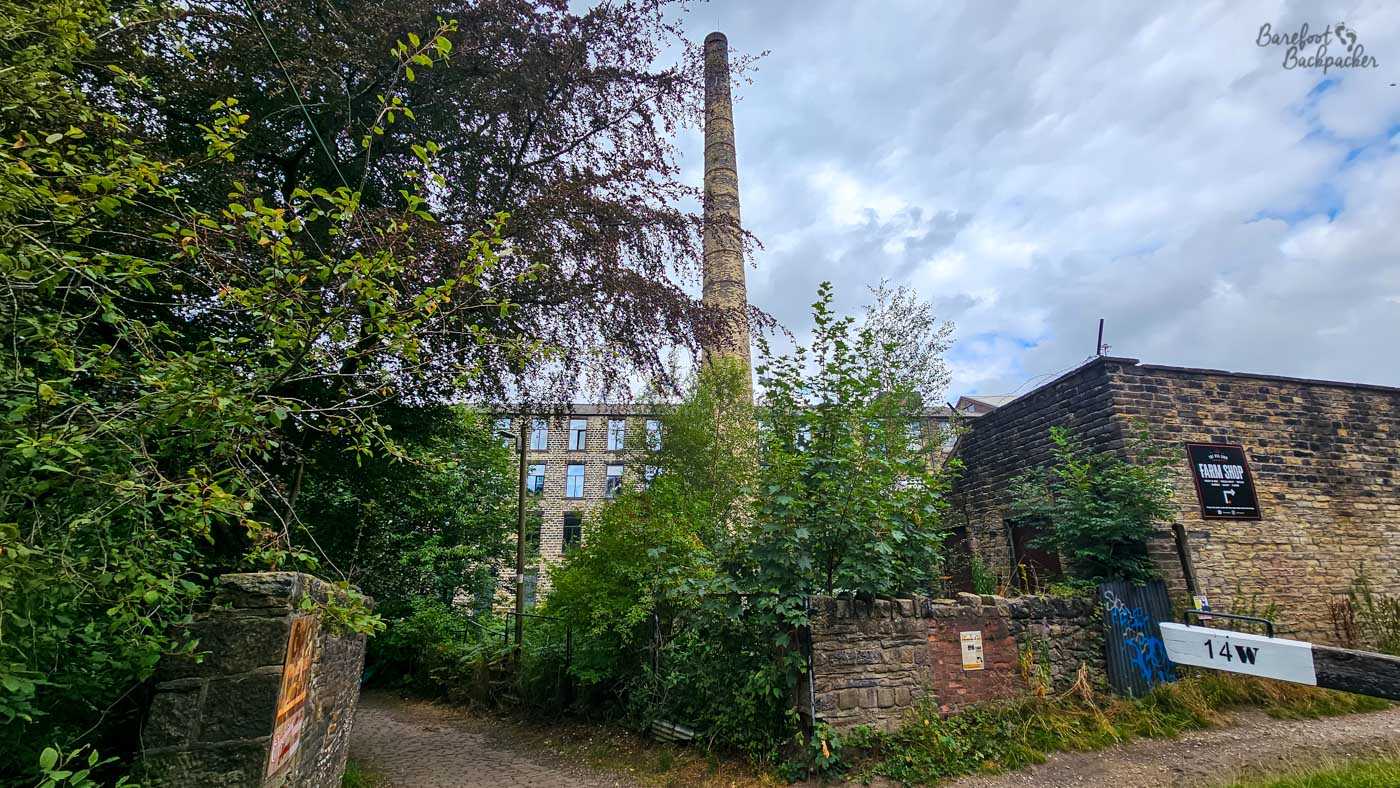
Woodend Mill, hidden slightly behind the trees.
South of Mossley, the canal cuts through what feels like a small woodland, with trees overhanging on both sides, before reaching Scout Tunnel. This is a narrow channel, even for this canal. It’s about 205 yards / 187m long, and while the towpath continues through it, there’s barely enough headroom for a tall enby like me to be comfortable. Oh, and there’s no light, there’s only a handrail to stop you falling in the canal, and much of the way is exposed rock rather than brick-lined.
On my recent walk through here, the canal itself either side was pretty much drained and looking quite derelict. This was quite a common vibe along the whole length, with sections where there were fallen trees in the way and a water level measurable in rulers rather than anchors, but it was particularly notable here.
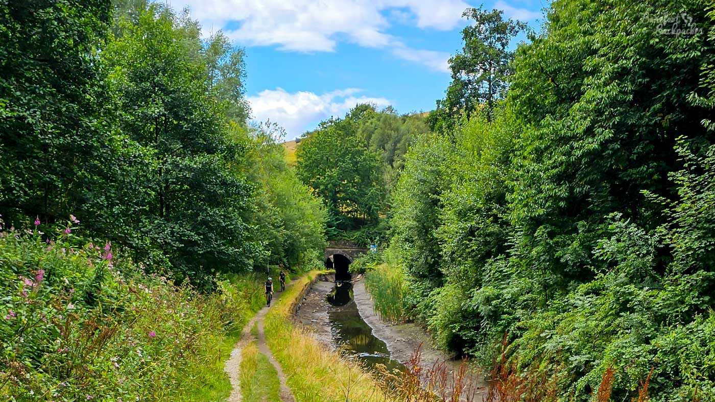
The northern portal to the Scout Tunnel; again with lots of water in evidence.
Beyond the tunnel the canal gets quite reedy, and keeps a little distance from the nearby suburbs. Along this section though is the famous electricity pylon. There’d been a power station at Heyrod for many years, and the canal had originally served it with coal; it long-survived the canal though, being decommissioned in 1979 and replaced with an electricity substation. When the canal was restored, the substation was in the way of the original routing, and the only way through was underneath one of the supplying pylons. It’s one of the few locations in the world this happens, understandably so.
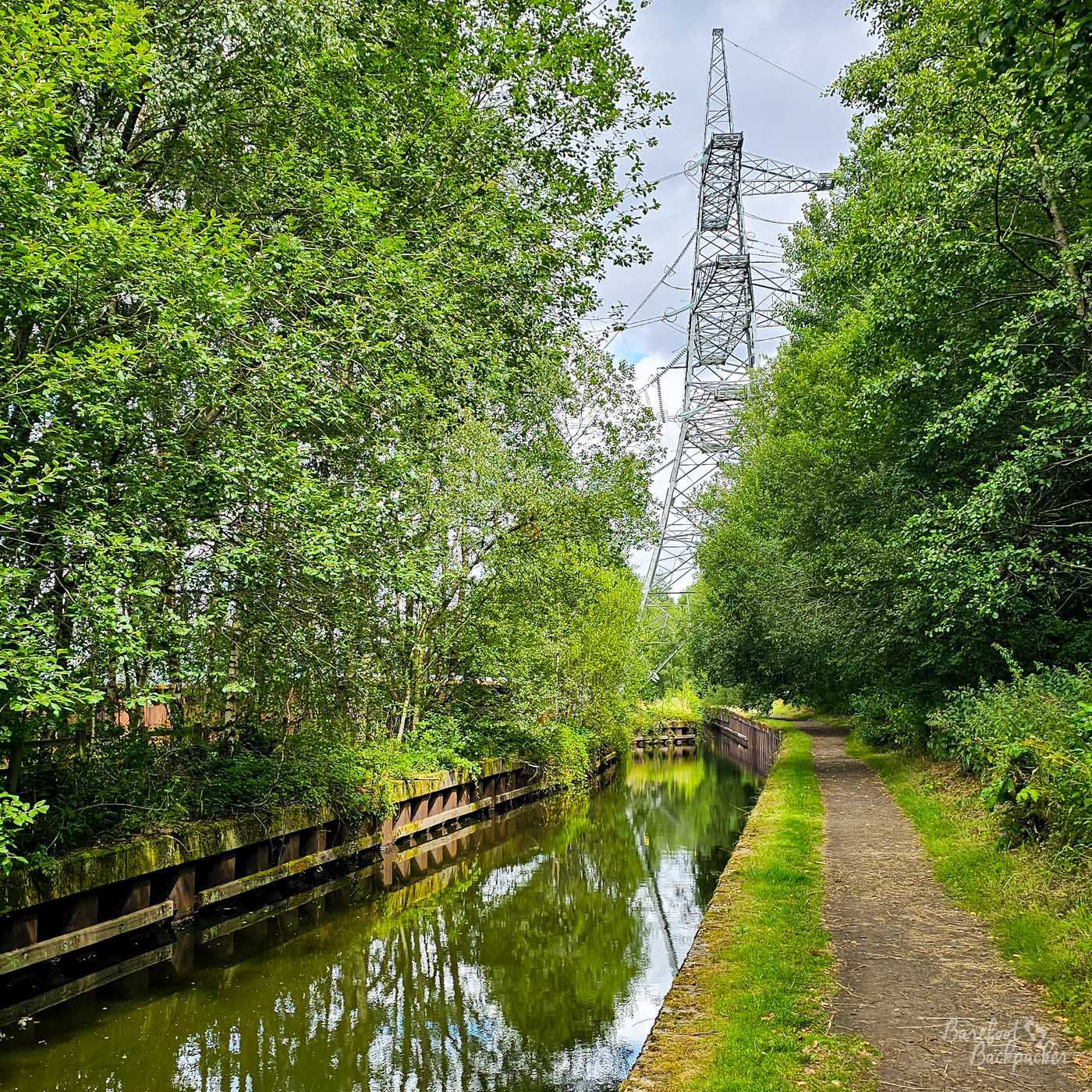
The problem with a 54m tall electricity pylon that you walk directly under is it’s hard to take a picture of in all its full glory.
From the pylon it’s a mile or so into Stalybridge, the second largest town on the canal after Huddersfield. It was a producer of clothing and other textiles, as many of the places along the canal were, but in this post-industrial world it’s lost a bit of its lustre. That said, it’s still a decent place to stop off for a rest. The area around the canal in the centre of town, near the Civic Hall, was refurbished when the canal reopened, while I’ve even done a blog post about pubs to visit in the Town Centre.
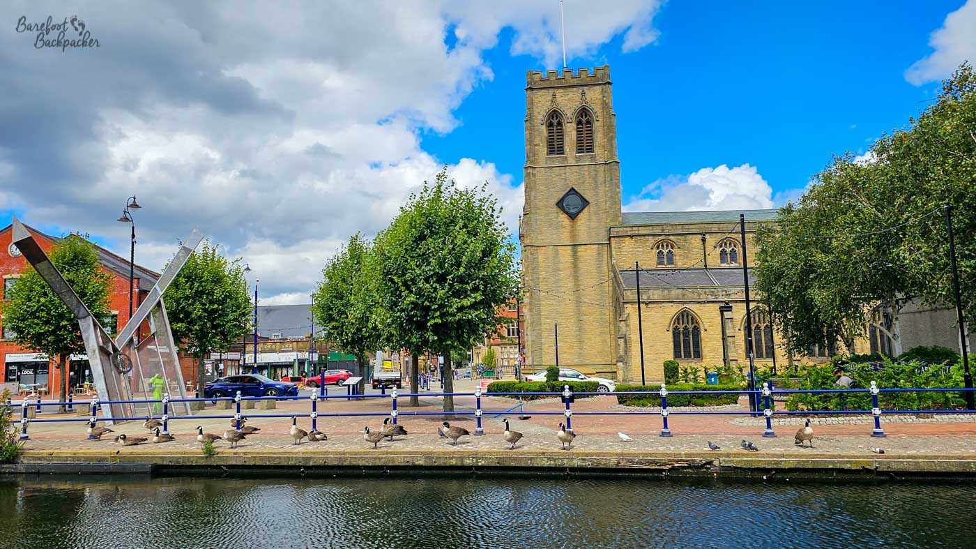
Stalybridge town centre, with a view of Holy Trinity Church and the weird memorial to the Manchester Arena Bombing,
Stalybridge is the gateway to Greater Manchester, in effect, as beyond here it’s pretty much urban all the way to the Ancoats Basin. But that, surprisingly, is the role of the third canal. The Huddersfield Narrow Canal ends at Whitelands locks, a little short of Ashton-under-Lyne, after about 2.5km of slightly uninspiring post-industrial dourness.
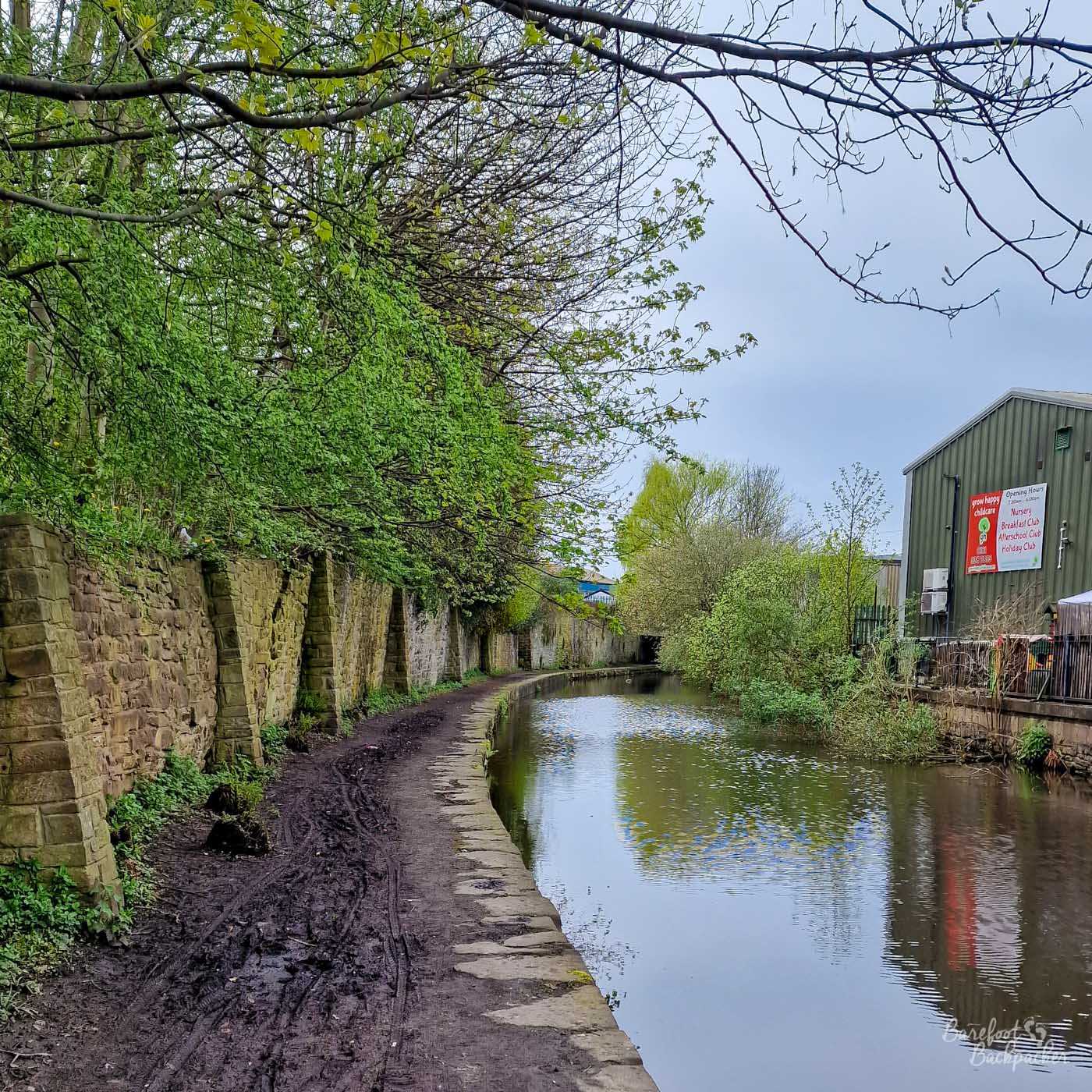
A muddy towpath between Stalybridge and Ashton, passing by out-of-town industry.
Ashton Canal
It is about 11.1km from Whitelands to the final junction with the Rochdale Canal under Morrisons behind the Dakota Hotel; 10.4km to the turn-off at New Islington / Ancoats Basin. It goes through a similar urban landscape to the Rochdale Canal slightly further north; slightly more aesthetic but for considerably longer.
In fact almost immediately after starting, the towpath leaves the canal and goes through a supermarket car park; not a great omen. To be fair it’s because the canal goes through a small tunnel; the tunnel might be more aesthetic. Almost immediately afterwards we reach Portland Basin, where the canal meets both the River Tame and the Peak Forest Canal that runs to Buxworth in the Cheshire/Derbyshire Peak District, near Chapel-en-le-Frith. Logically this would be one end of the Huddersfield Narrow Canal too; it isn’t. The old buildings here were restored along with the canals, and now house a small museum and admin for canal moorings.
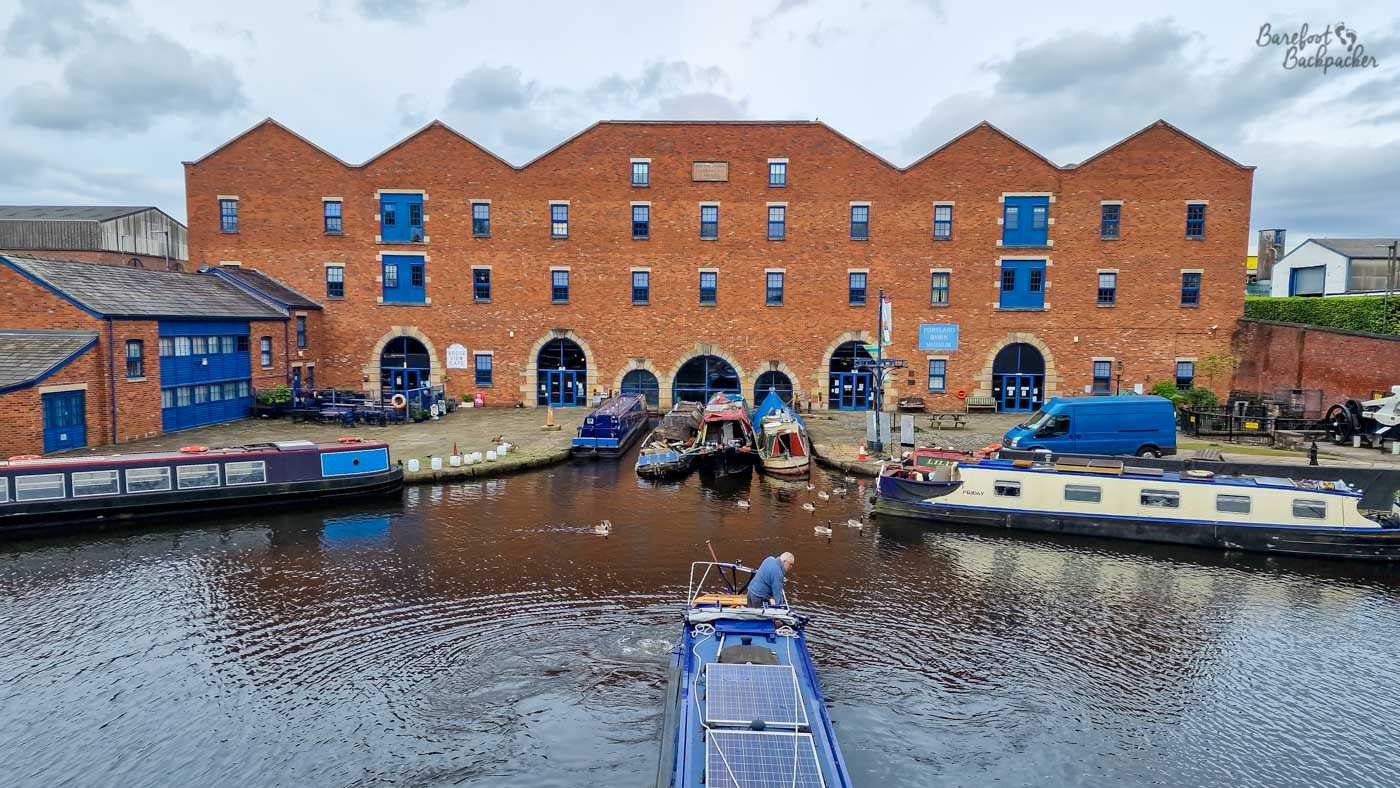
Portland Basin, also known as Duckinfield Junction. The blue boat in the foreground is coming out the Peak Forest Canal.
My problem with the Ashton Canal is that it’s not terribly interesting. The route from Ashton to Guide Bridge runs almost entirely alongside and too far below a railway sidings to see anything more than a metallic fence, then for a couple of km beyond that it’s generic suburbia, with houses backing right on to the canal line. There’s a small canal basin in Droylesden where an old canal used to connect to Oldham, and, about 1.5km further on, the cute Strawberry Duck pub which feels quiet remote surrounded by empty land between industrial estates, but otherwise it’s just fairly bland.
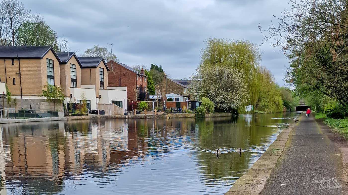
A typical canal scene in Eastern Manchester. Very similar to the Rochdale Canal, in fact, just about 3km to the North.
Some 9km after leaving Whitelands, the canal passes the City of Manchester Stadium. This was constructed to host the 2002 Commonwealth Games, on the site of the old Bradford Colliery which closed in 1968, largely because it was located so close to the urban sprawl that mining coal out of it without causing much of East Manchester to collapse was deemed uneconomic. That it took 30 years to rebuild on a site so close to the city centre says a lot about Manchester in general.
It was designed to look distinctive and apparently be reminiscent of a gladiatorial arena to create an atmosphere lacking in many stadia, it has a seated capacity of just over 60,000, and is now home to Manchester City Football Club.
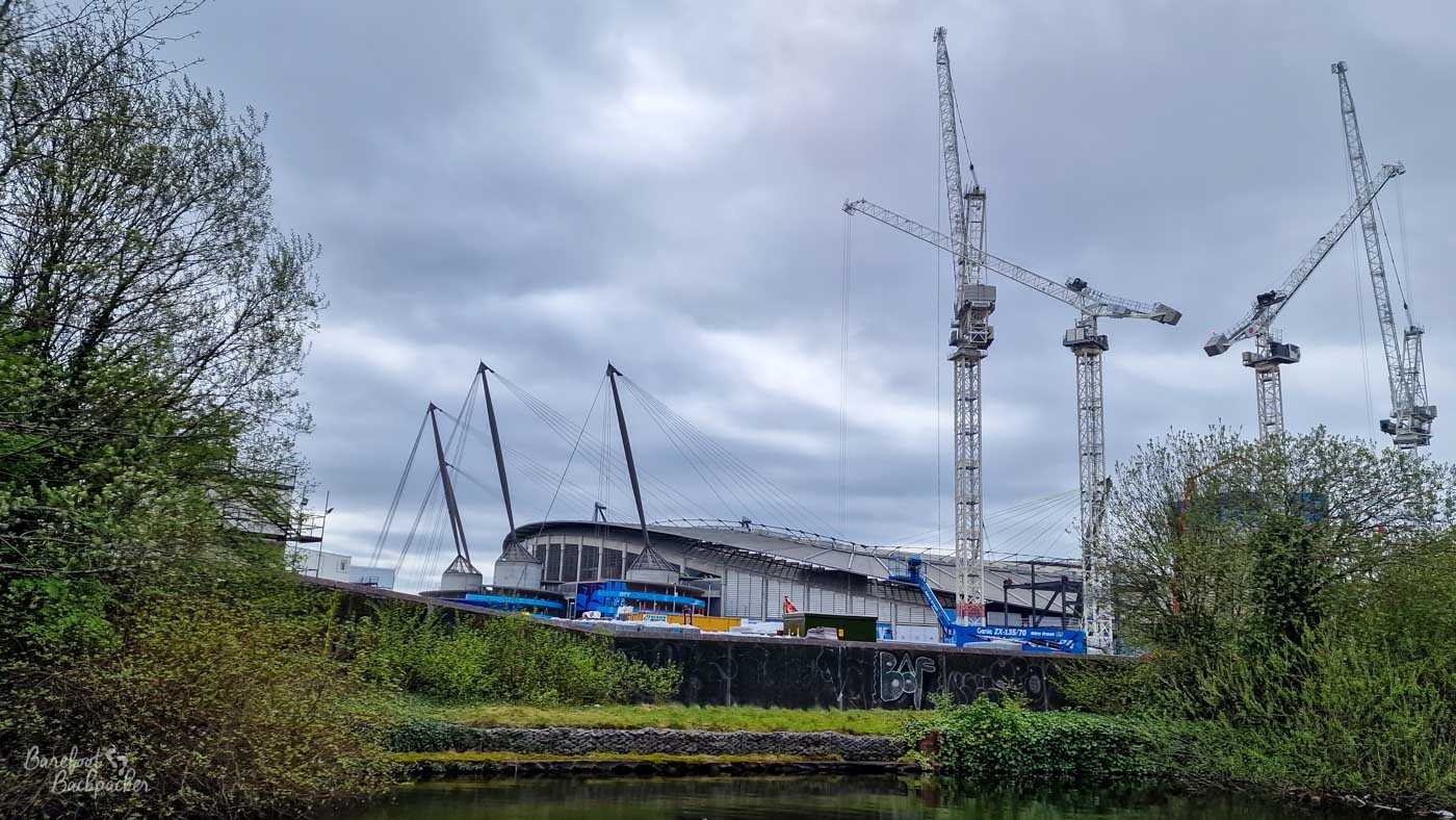
The City of Manchester Stadium as seen from the canal. There is easy access to there from it, making it an unusual way to walk to a game. Should you want to.
It’s about 1½km from here to Islington Marina and Ancoats Basin, and to be honest isn’t the most inspiring stretch, passing by derelict industry and graffiti-laden walls rising from weeds. Some of the end stretch has been regenerated with new-build apartment blocks; your mileage may vary on whether they’re an improvement. This section is notable for the bridge over Store Street, said to be the first and oldest canal bridge built at an angle (45º) rather than straight across. But of course you’re on the canal on top of it so you can’t tell.
Very shortly after the Store Street aqueduct, the canal ends as it meets the Rochdale Canal at Dulcie Street, just to the back of Piccadilly Station. From here, well, you can go all the way back to Mirfield via Rochdale, or you can just stay in Manchester for a bit. Obviously it has a lot of pubs…
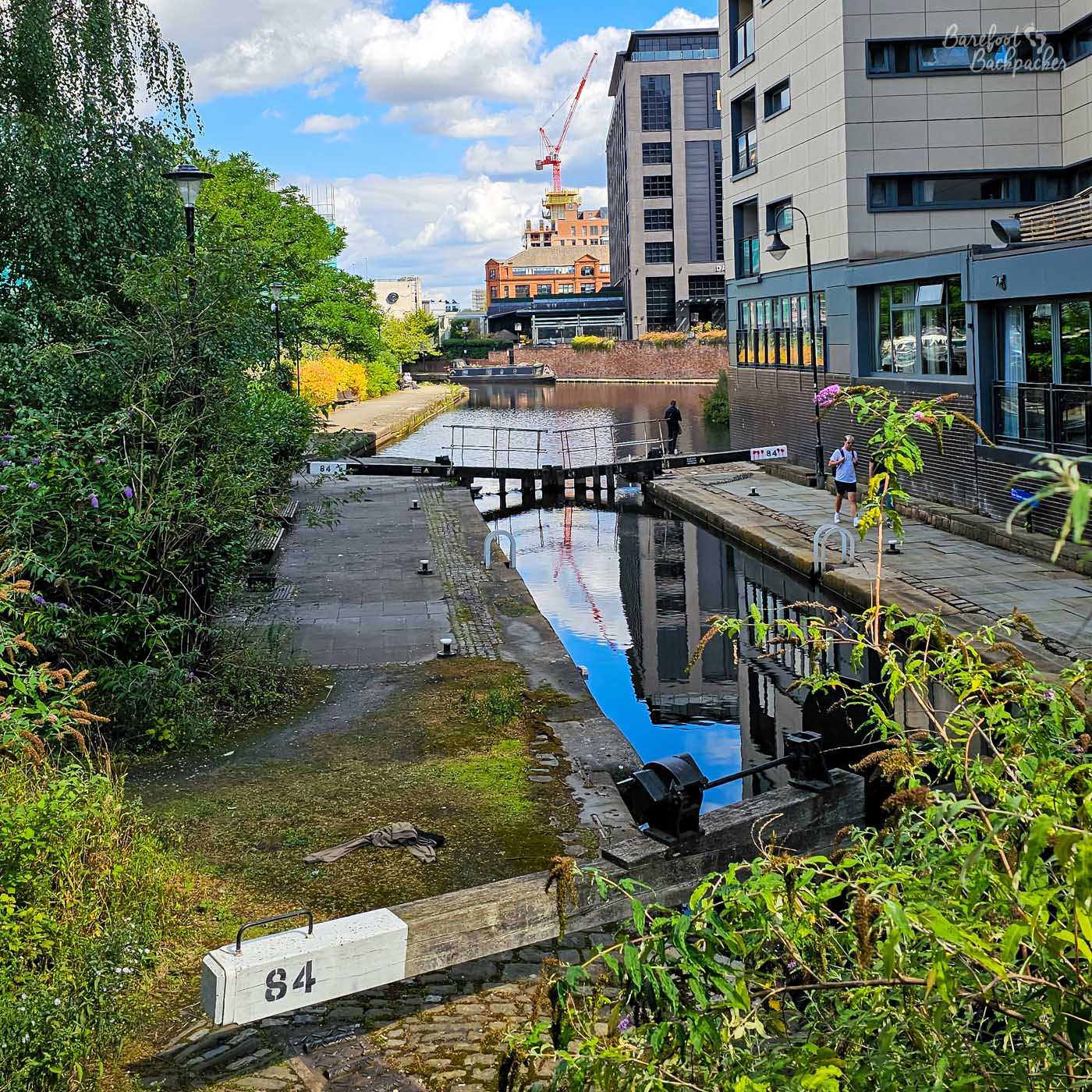
View along the Rochdale Canal looking towards the basin where the Ashton Canal ends. It’s on the right just after the lock gate.